South Shore Highway and Road Construction Photos
Disclaimer: This site is for educational and entertainment
purposes only. Comments do not reflect those of MassDOT, town public works departments, or the Hingham Historical
Society.
A. Lincoln and North Street
Intersection Reconstruction, Hingham, 2025-2026 (Updated 3/18/26)
On December 17, 2025 the Hingham Department of Public Works started
reconstruction of the intersection between Lincoln Street and North Street at what is called Fountain Square. The long-time
intersection has been the frequent site of accidents between motorists and pedestrians. The site is surrounded by a 1929 statue
of Abraham Lincoln in the Square and historic properties including a National Historic Site, the General Benjamin Lincoln House,
and the Old Ordinary, a 1686 tavern, both owned by the Hingham Historical Society
and the 1807 New North Church. An increase in pedestrian traffic between these
locations and lack of crosswalks led the Society to work with the town to improve the intersection.
Here are photos of the pre-existing intersection and its
surroundings:
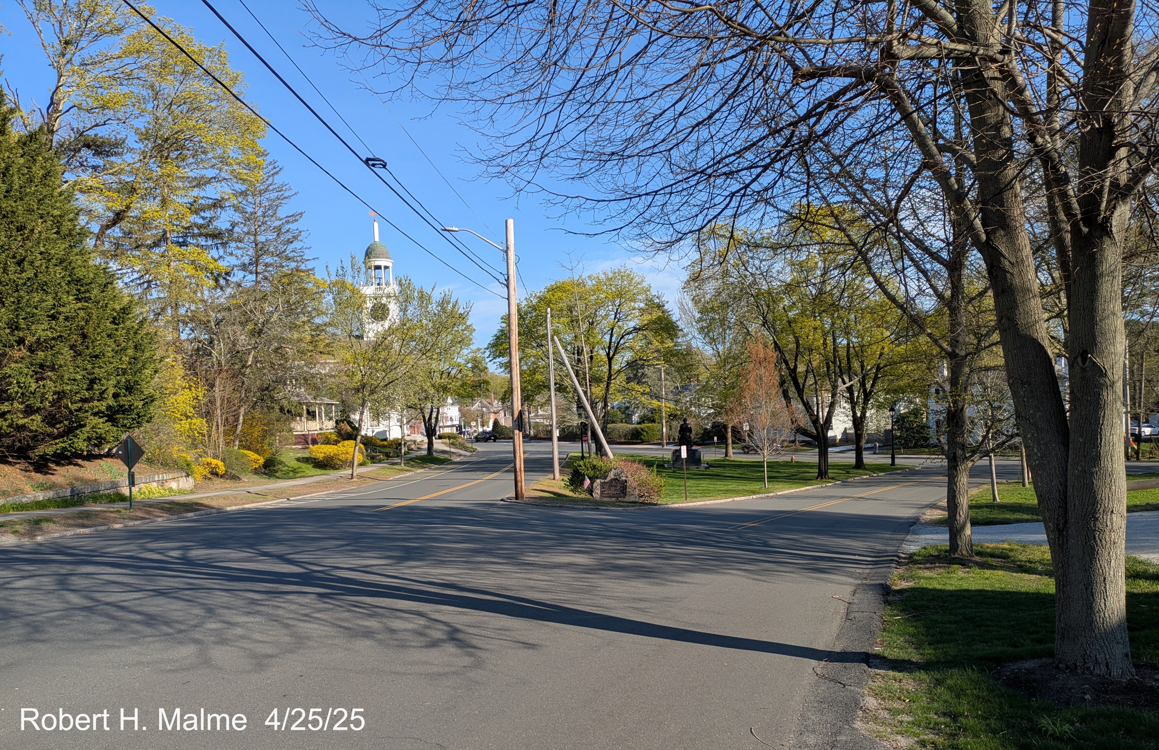
Looking south towards Fountain Square before the split of Lincoln
Street traffic into two roadways.
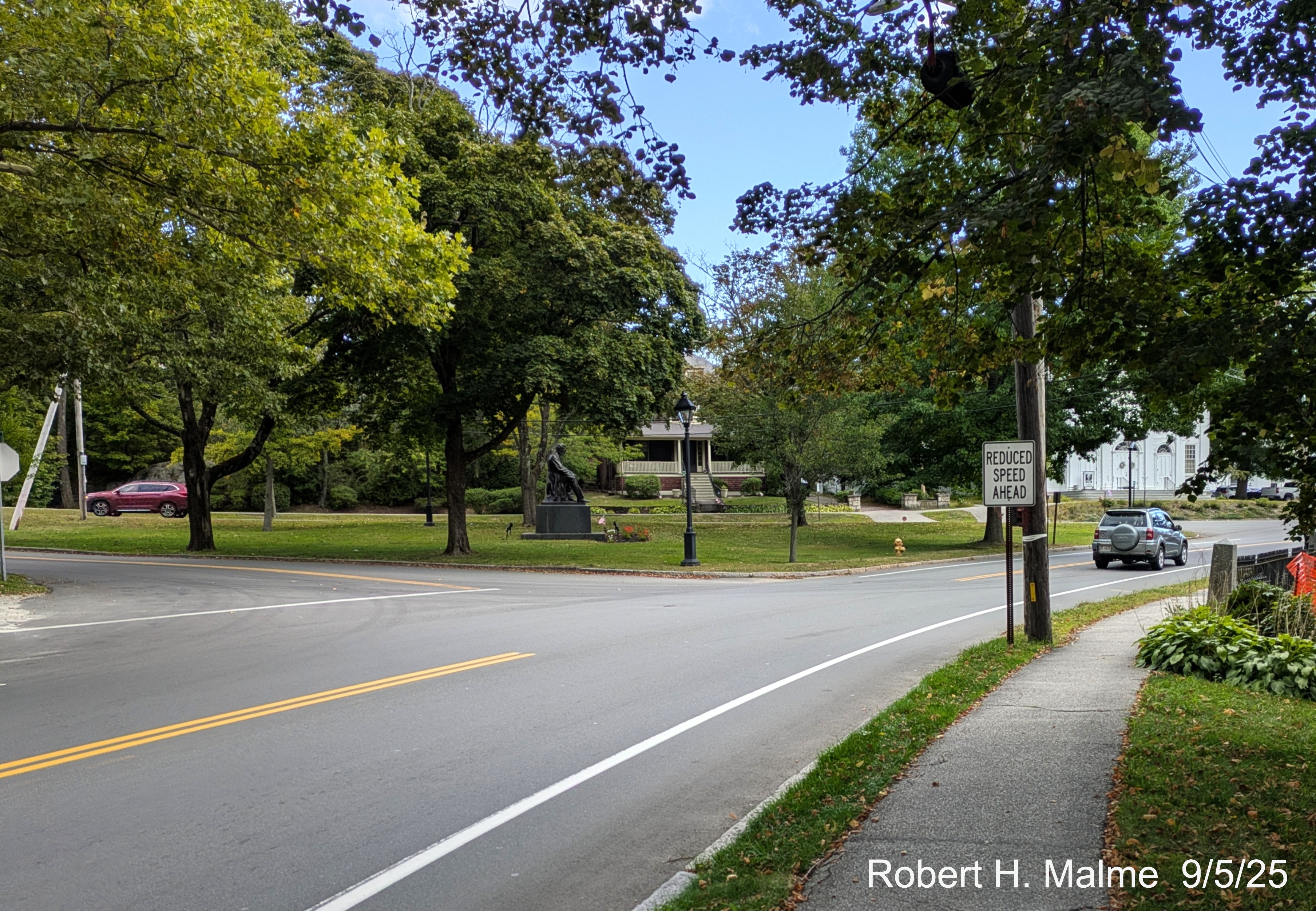
Looking towards the intersection from in front of the New North Church.
Traffic heading south on Lincoln Street can choose to go around Fountain Square on either side. Traffic on this side has to
look more than 90 degrees to the right to ensure no traffic is coming. Traffic heading north onto Lincoln does not have to
stop.
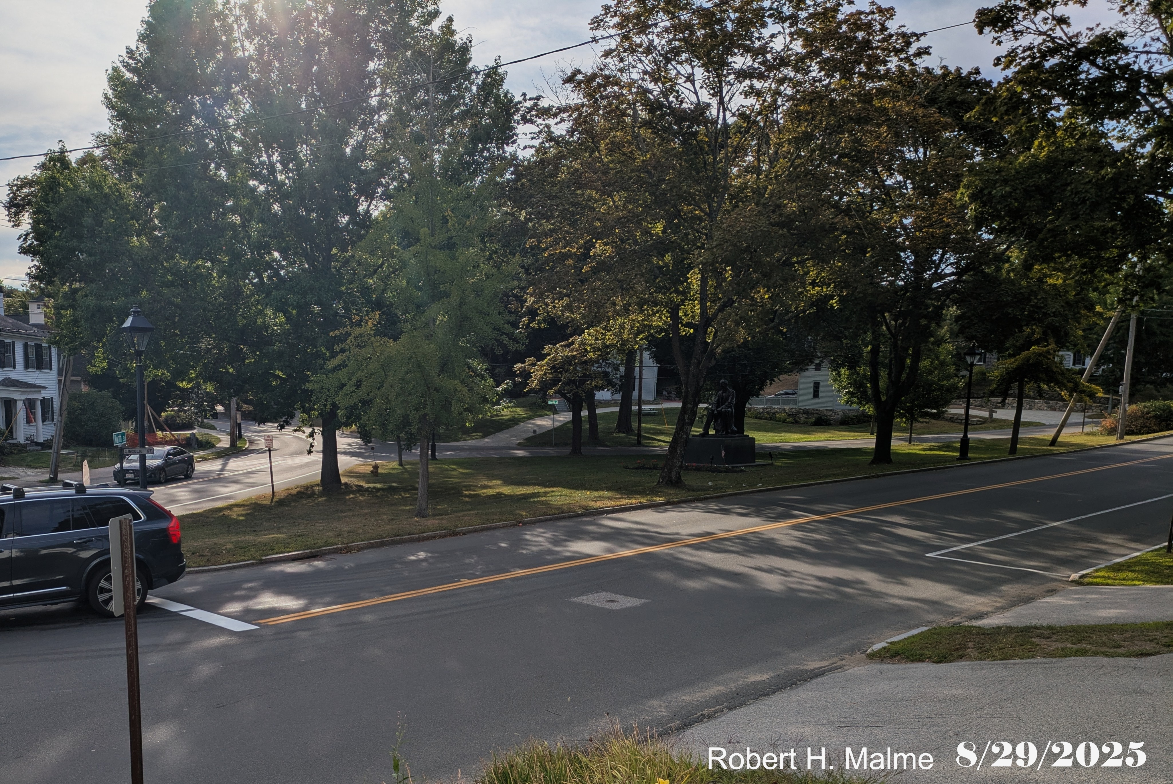
Looking towards the Fountain Square from North Street. The western
intersection with Lincoln Street on the left, the Lincoln Statue in the center of the Square, and the eastern leg of Lincoln Street
beyond. Traffic can turn left at both locations.
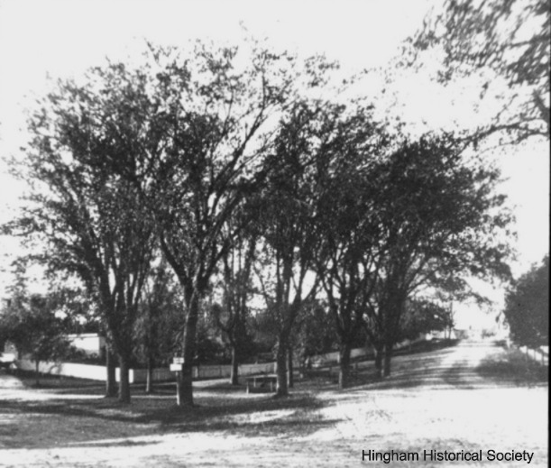
The layout of this intersection has changed little in over 150 years.
Here's a photo looking north from around 1860:
Here's the plan for the completed project, courtesy of the
Hingham Historical Society
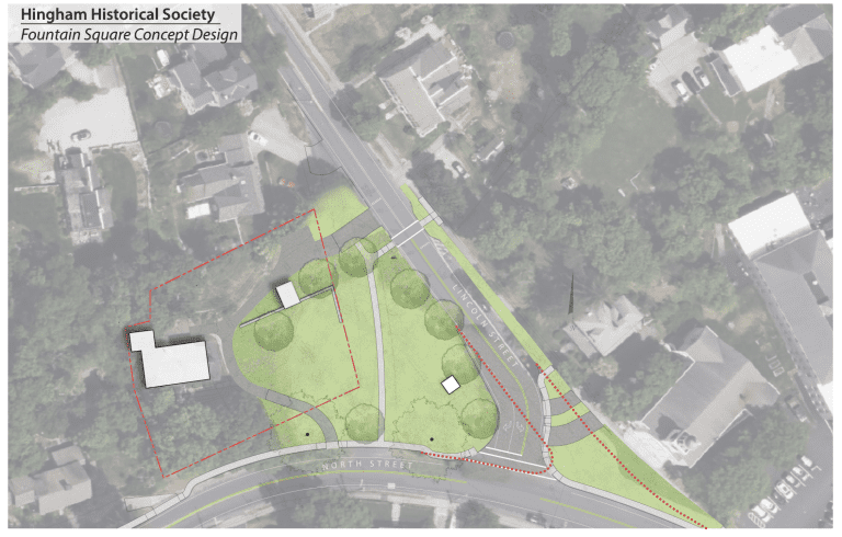
The western leg of Lincoln Street is to be removed, replaced by a
walkway. The southbound eastern Lincoln Street roadway will be widened to accomodate two turning lanes at North Street. A grassy
area in front of the New North Church will be expanded so that westbound traffic on North Street needs to slow down to turn. An
additional crosswalk, with flashing beacon will be added on Lincoln Street near the Benjamin Lincoln House driveway. Work
started on December 17, 2025.
Construction Photos
Most recent first, most recent taken March 14:
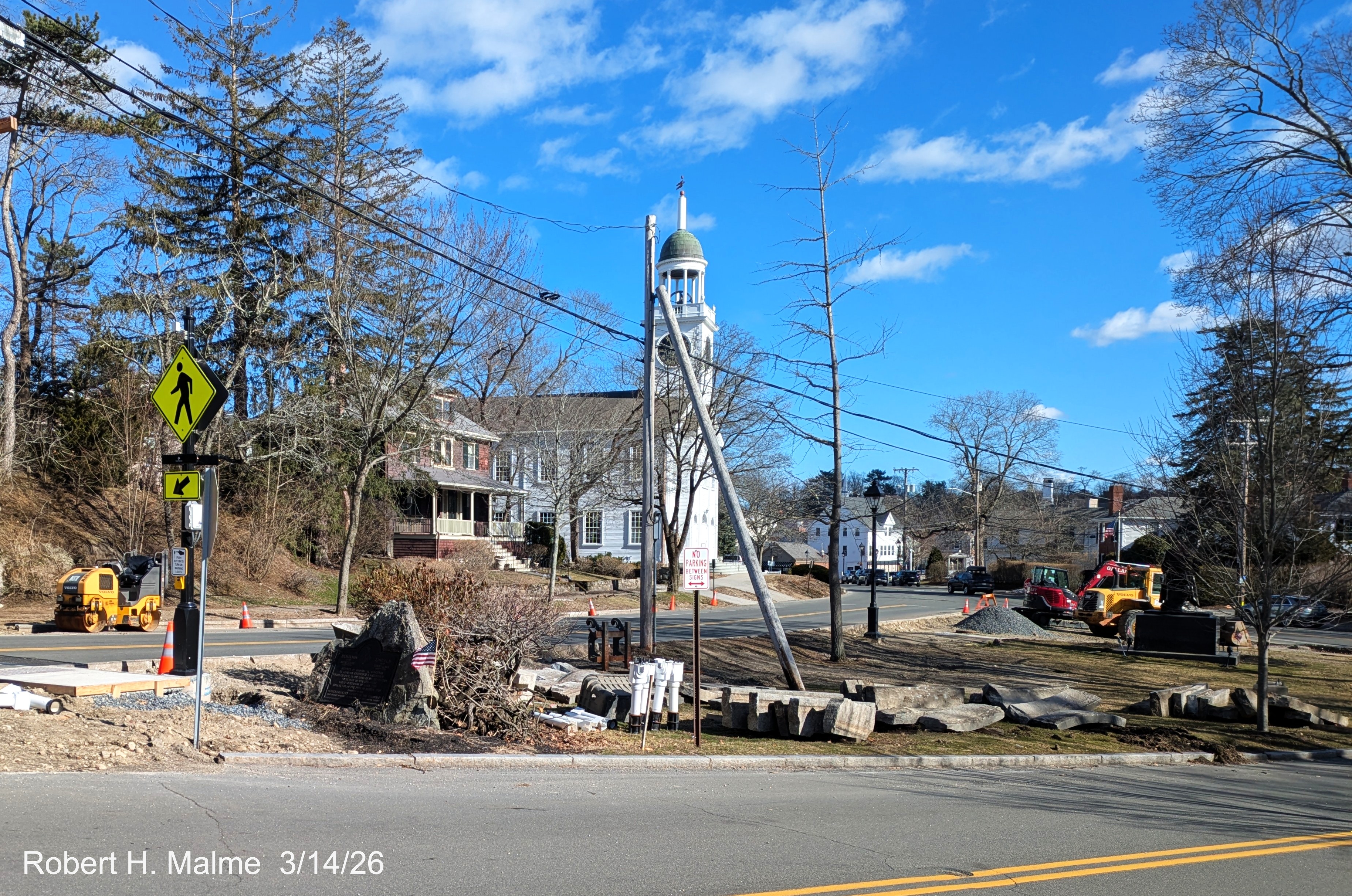
Looking southeast across Fountain Square which has become a temporary
storage location for curbing and other construction materials.
Photos taken March 11, after most of the snow had melted and work
had started again:
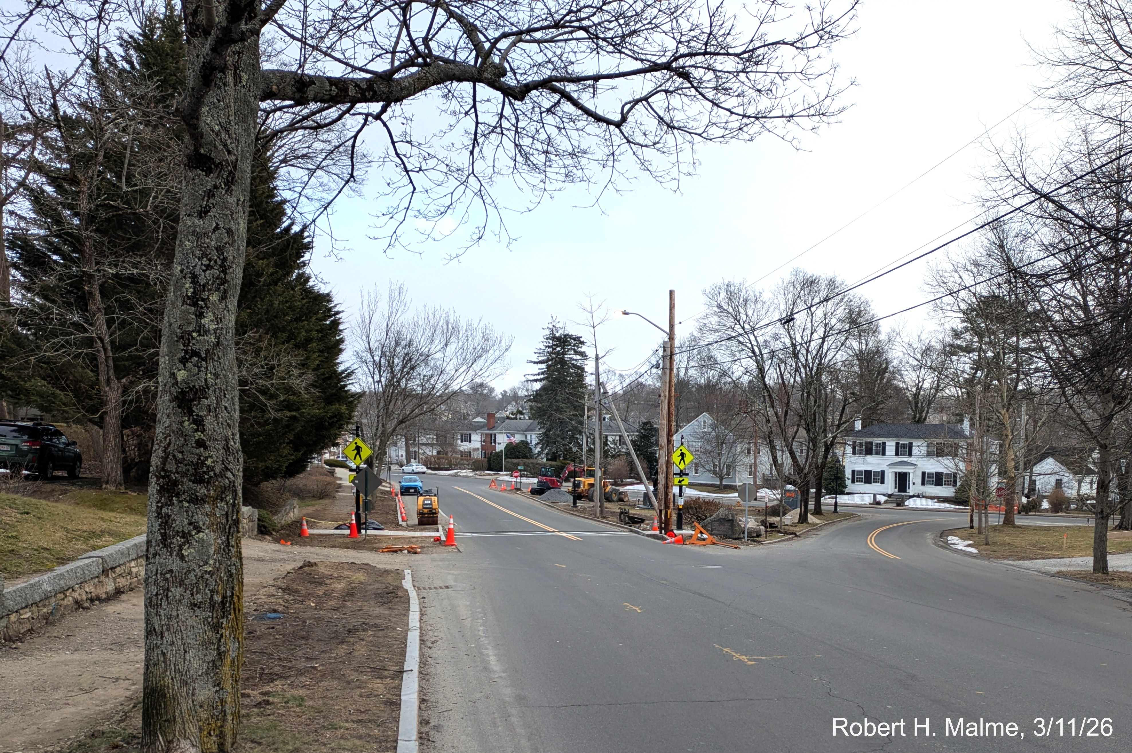
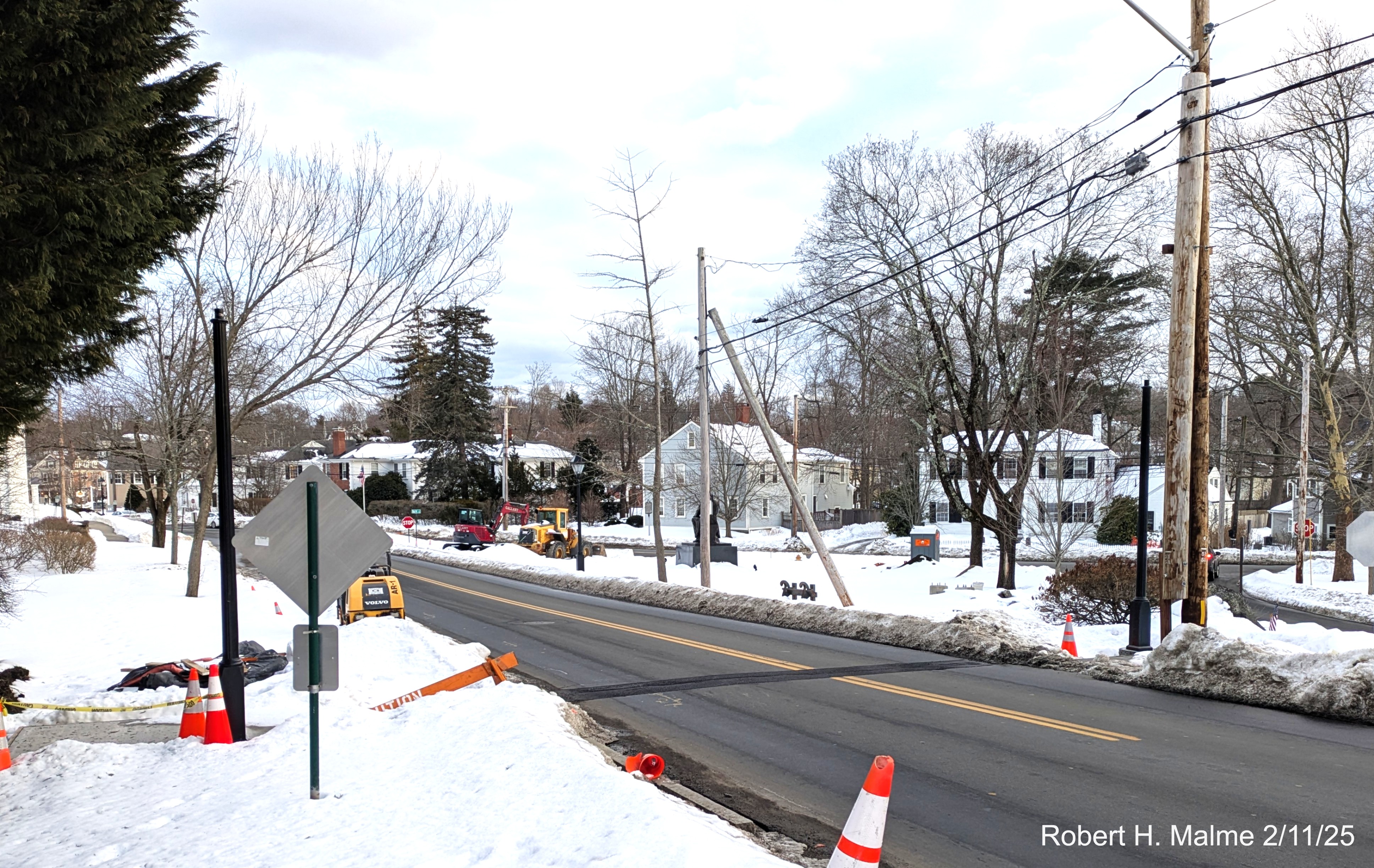
Looking south along Lincoln Street towards the new crosswalk now
with most of the snow melted.
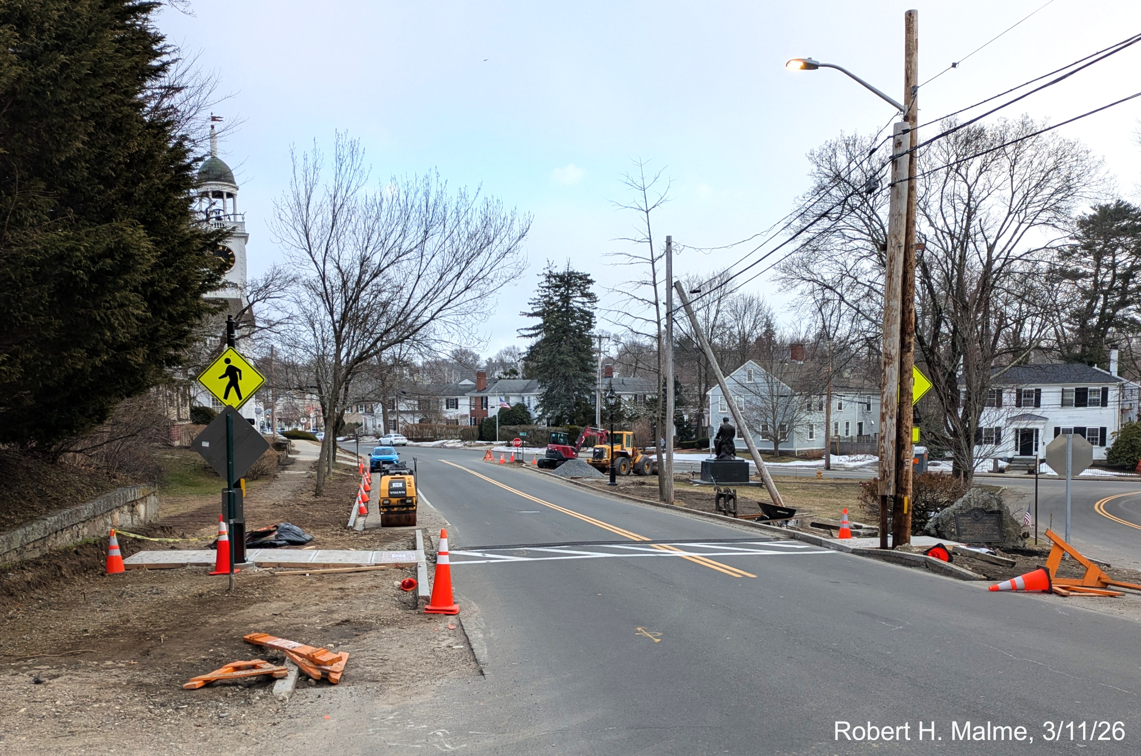
A closer look at the new crosswalk showing more construction
equipment has been brought in for work at the North Street intersection.
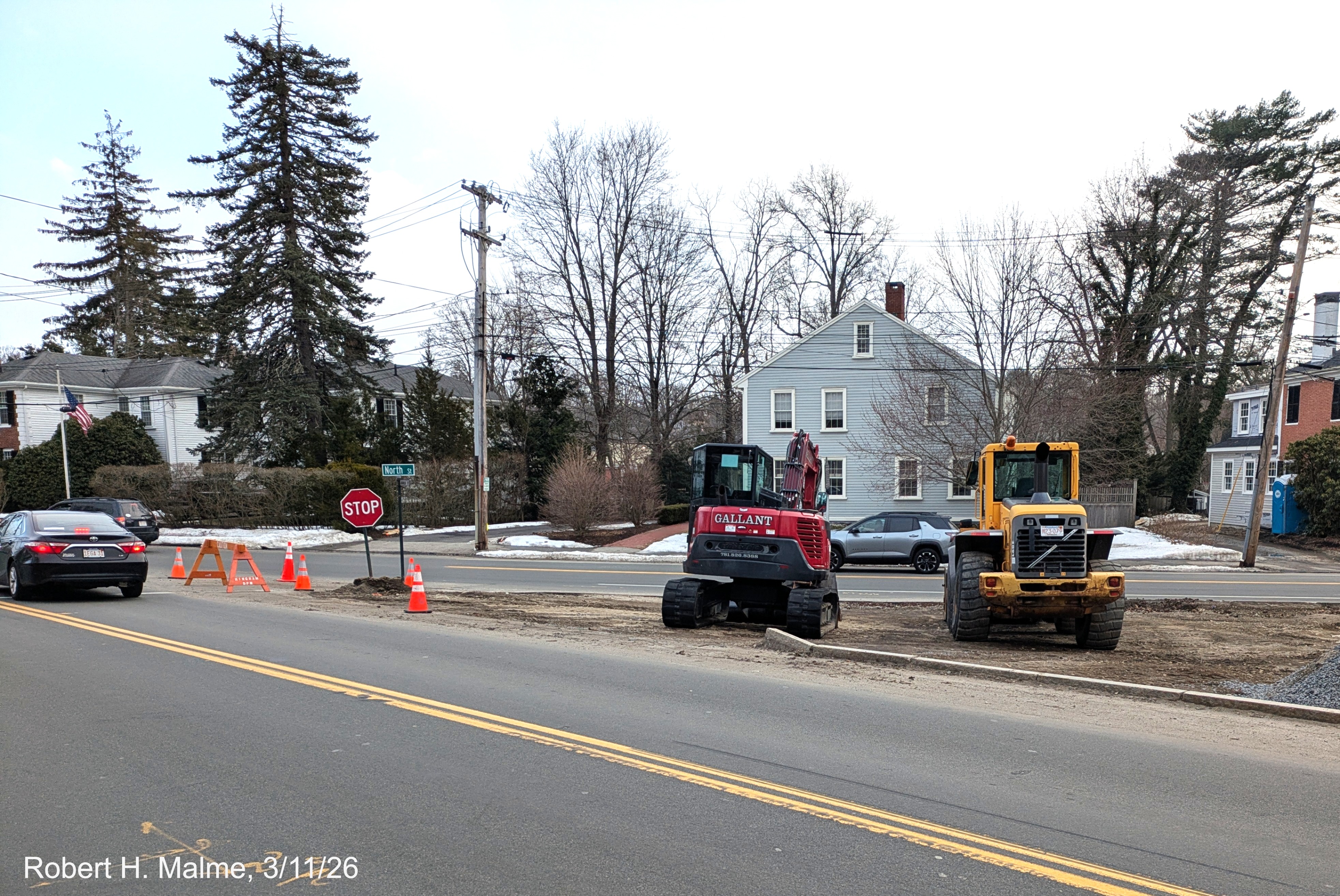
Looking at the construction going on at the intersection, southbound
Lincoln Street being widened at North Street to accomodate left and right turn lanes.
February Photos
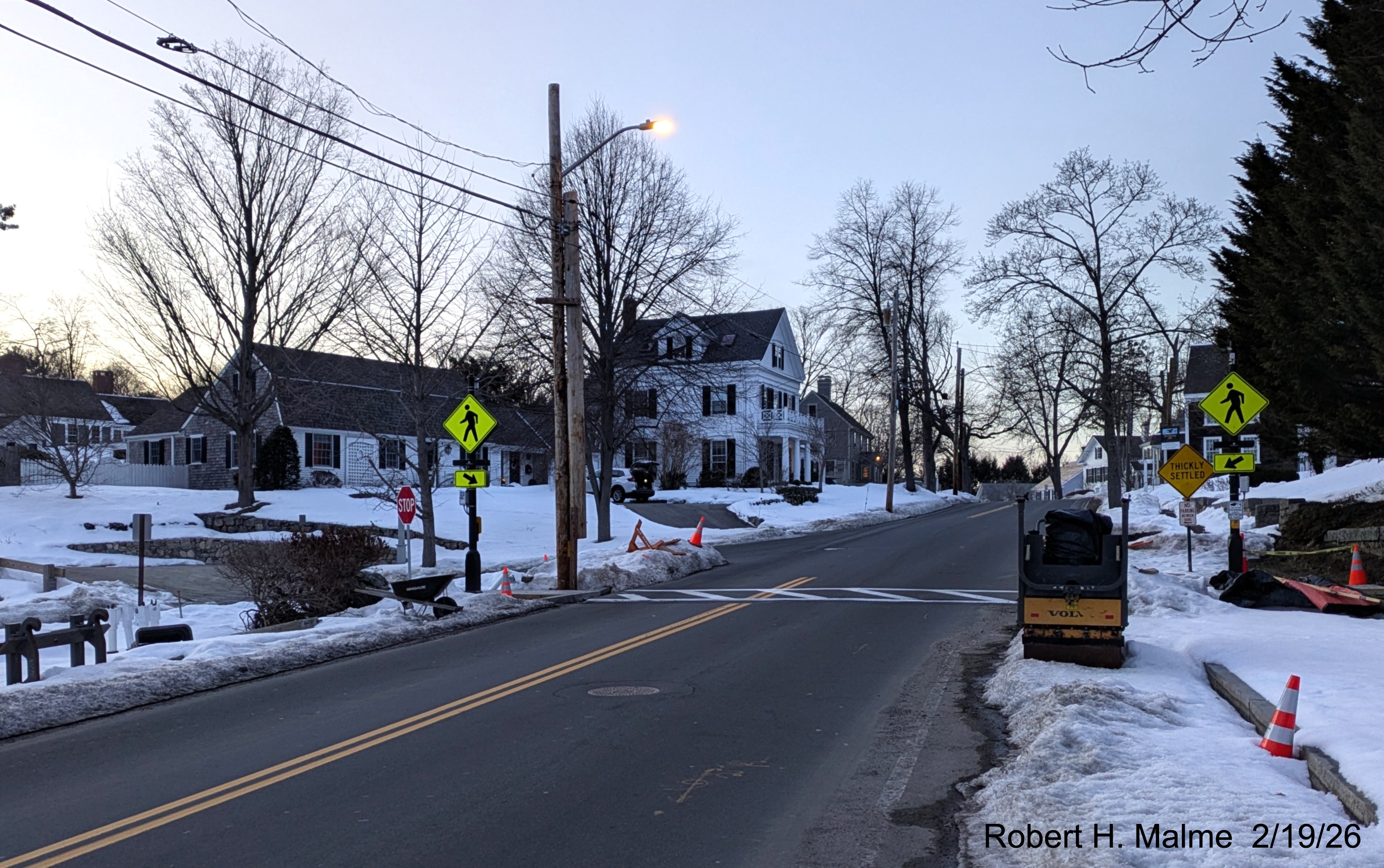
Looking south along Lincoln Street at the new crosswalk now
with lines painted on the pavement and completed walkways on each side.
Looking along the crosswalk on Lincoln Street at painted lines and
the temporary ending to the completed walkway on the other side.
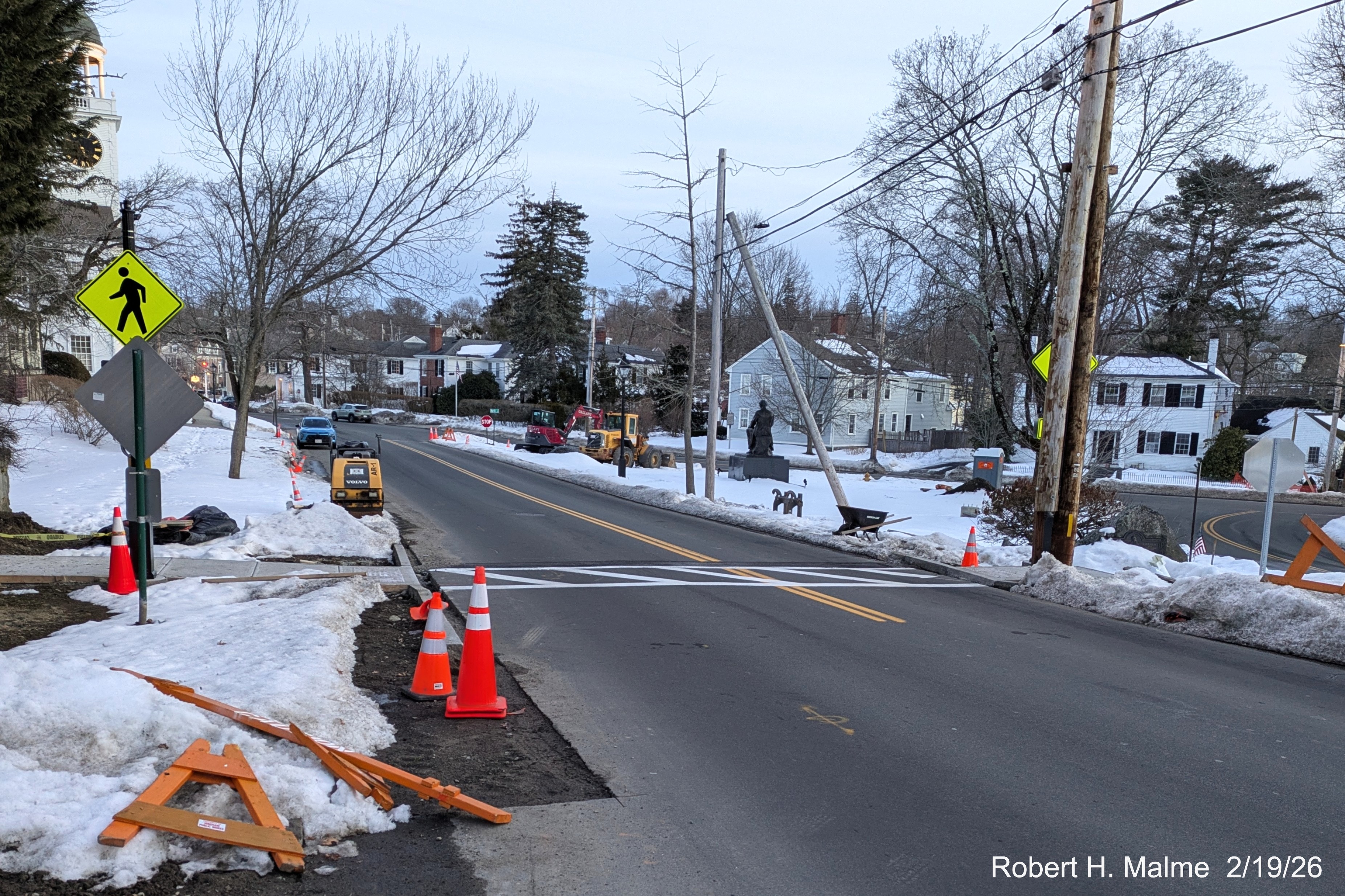
Now looking notth along Lincoln Street at the new crosswalk which now
also has yellow pedestrian crossing signs on each side.
Photos taken February 11
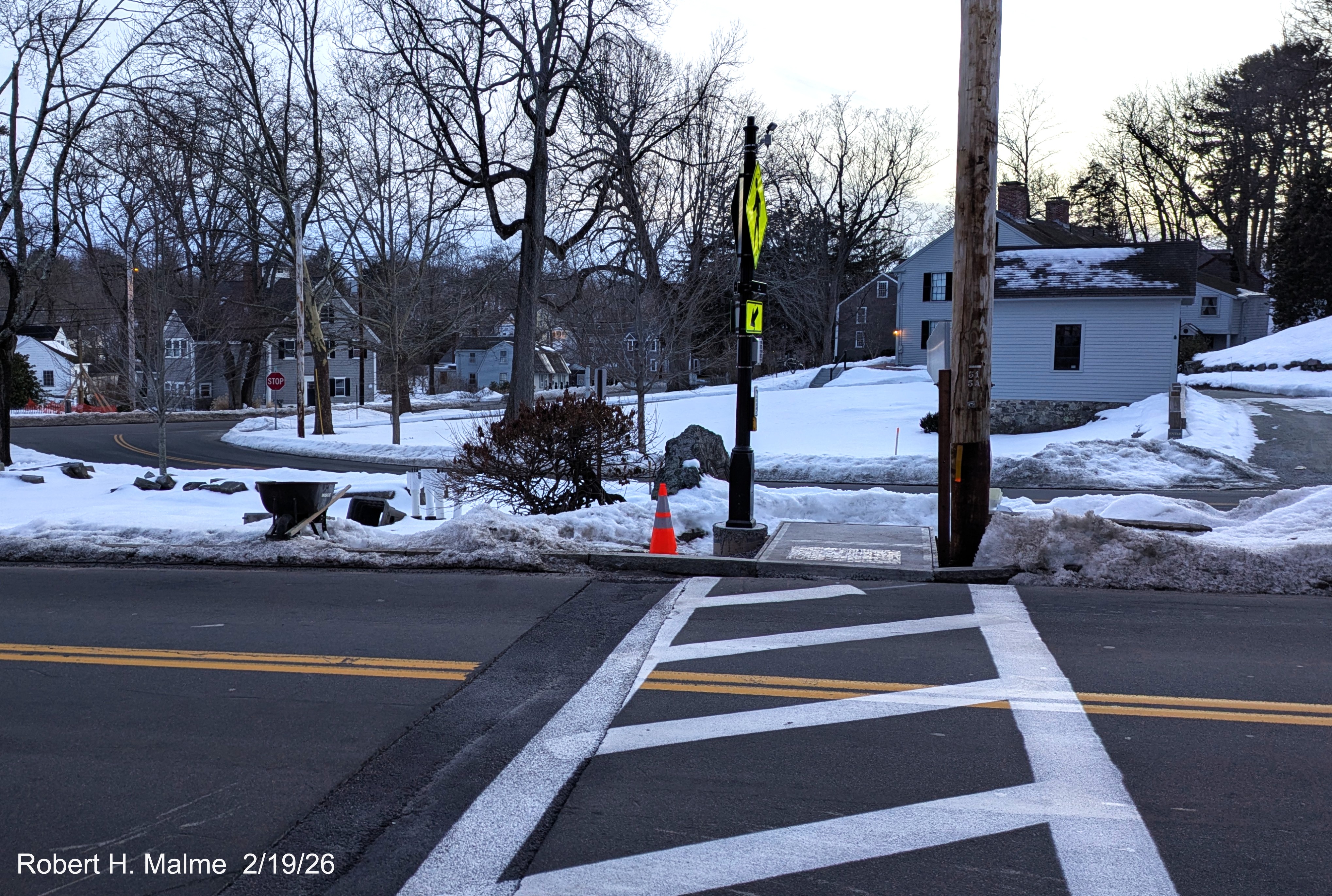
Looking across Lincoln Street with signals for new crosswalk now
up despite the snow and cold.
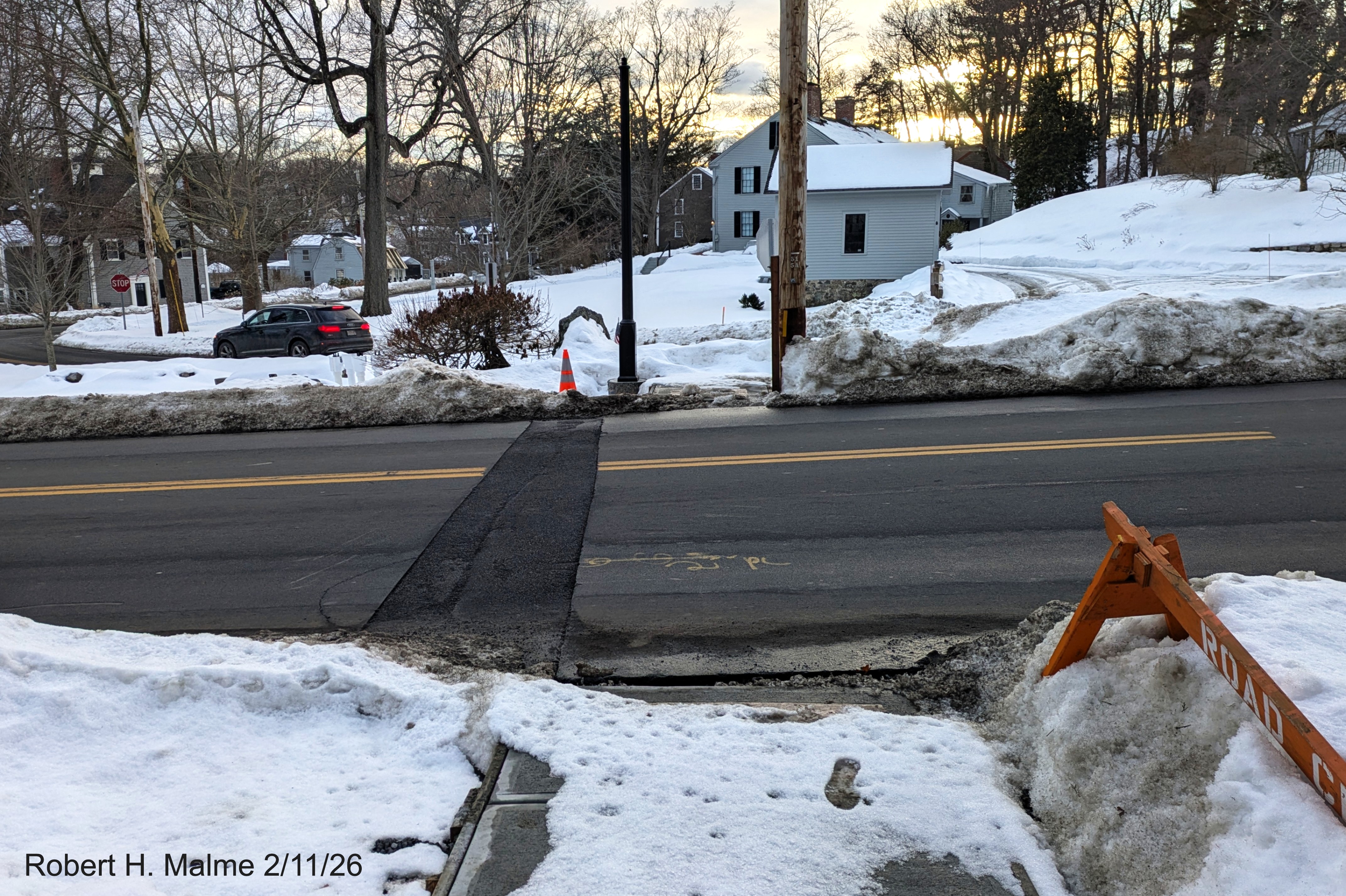
Standing on the new walkway looking west across Lincoln Street along
the pathway of the future crosswalk.
Looking across Lincoln Street with snow covering the construction
site except of future crosswalk.
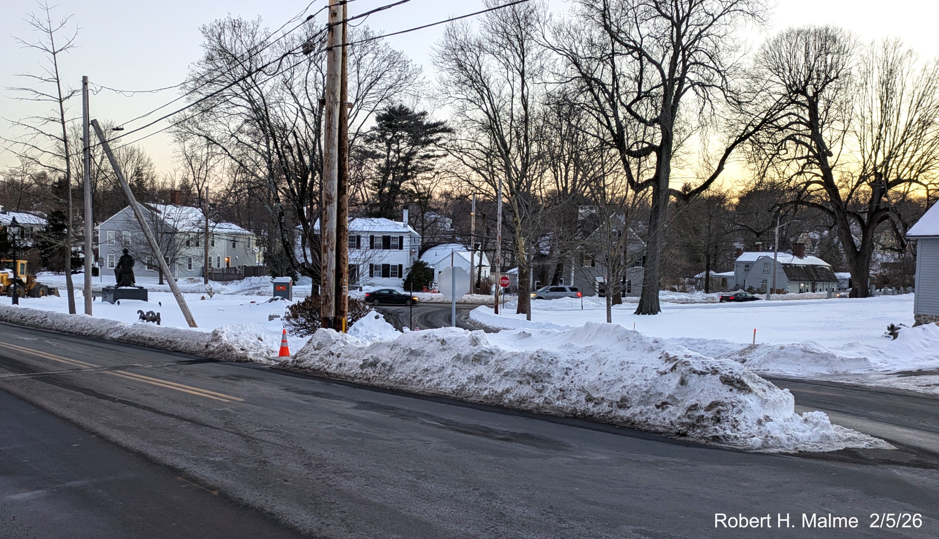
View across Lincoln Street with red cone on the site of the
future crosswalk.
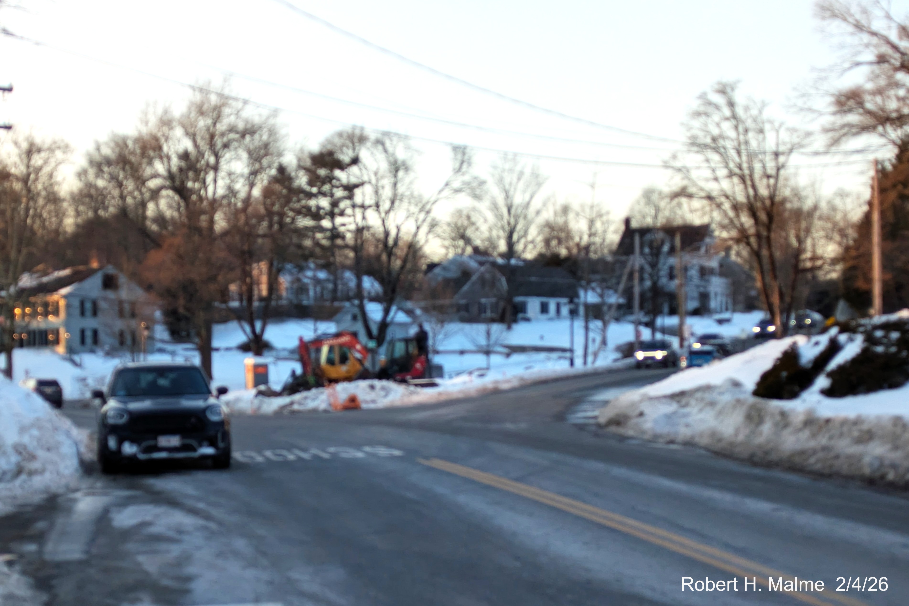
January Photos
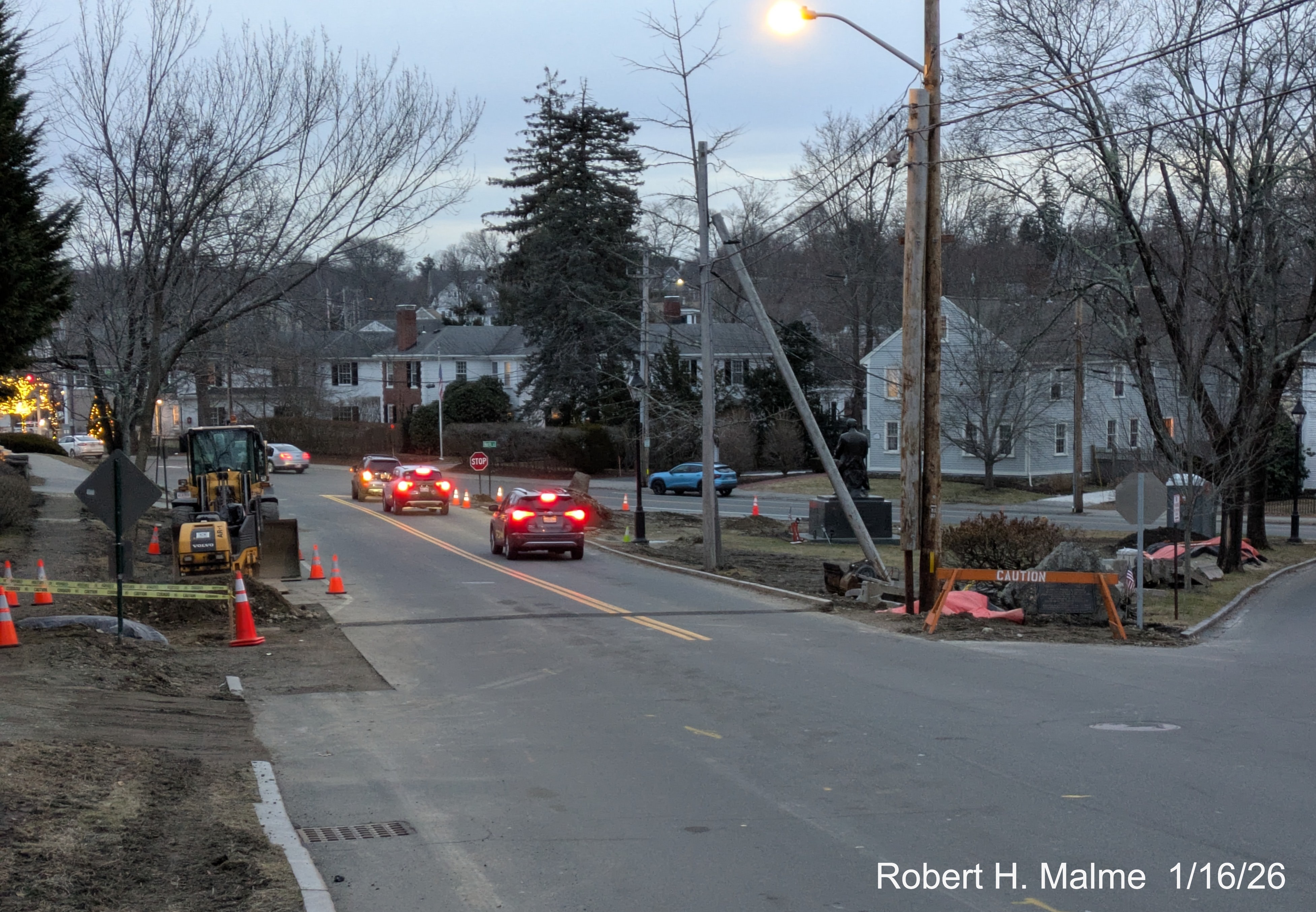
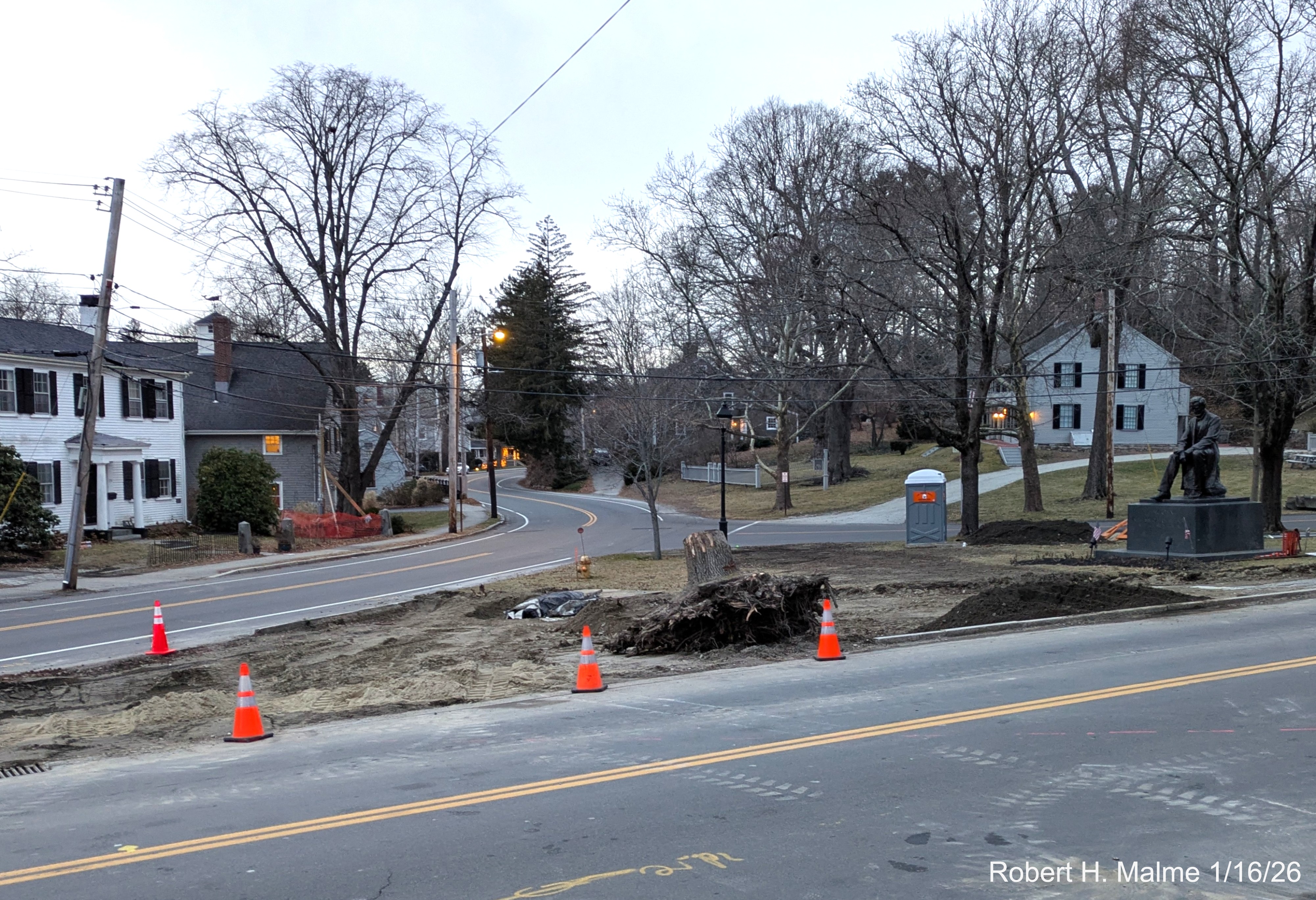
Looking towards North Street. The one tree along the west side of
Lincoln Street remains, along with a stump of another one.

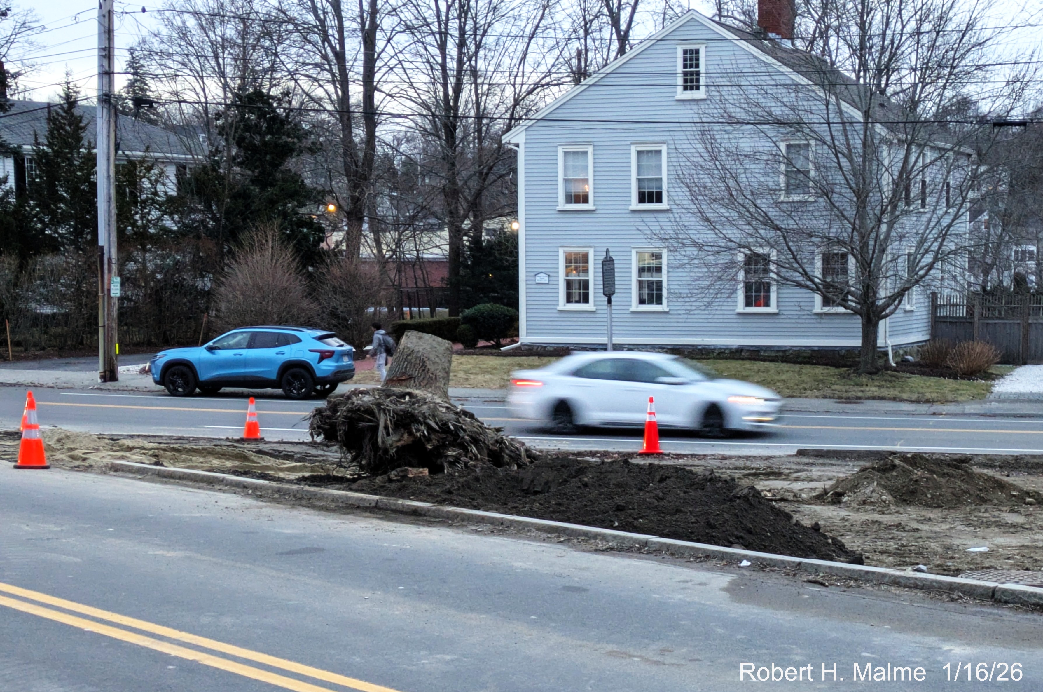
A closeup of the remaining tree and stump on the west side of Lincoln
Street.
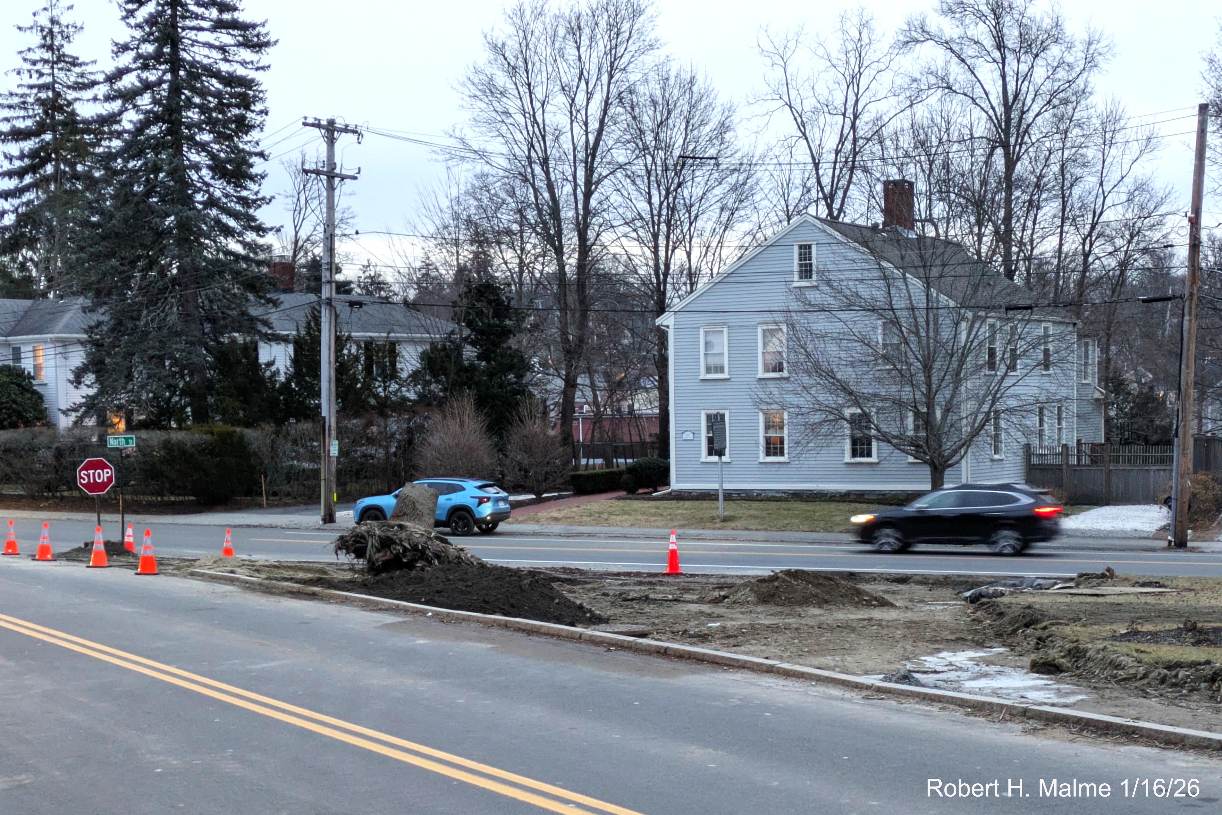
Around the stump dirt is being removed from the future location of the right turn only lane.
A closer look at the current North/Lincoln intersection prior to the
removal of curbing at the site of the future left and right turn only lanes.
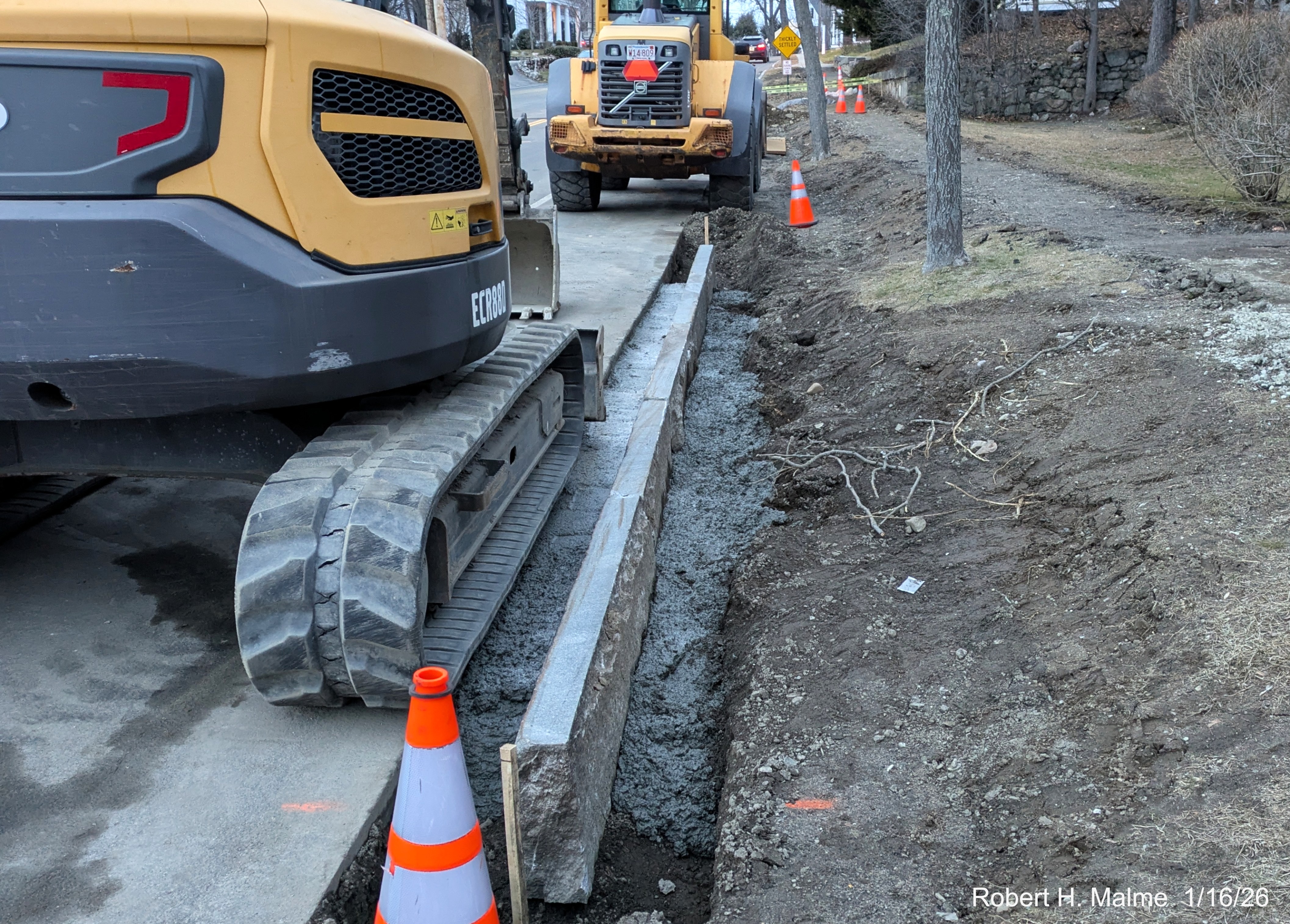
On the other side of Lincoln Street work has begun placing the new
curbing along the new road alignment. The old sidewalk path still visible.
View of the work at the intersection from in front of the New North
Church, the Lincoln Statue looks unusually exposed.
Earlier Photos
Taken on January 8, 2026
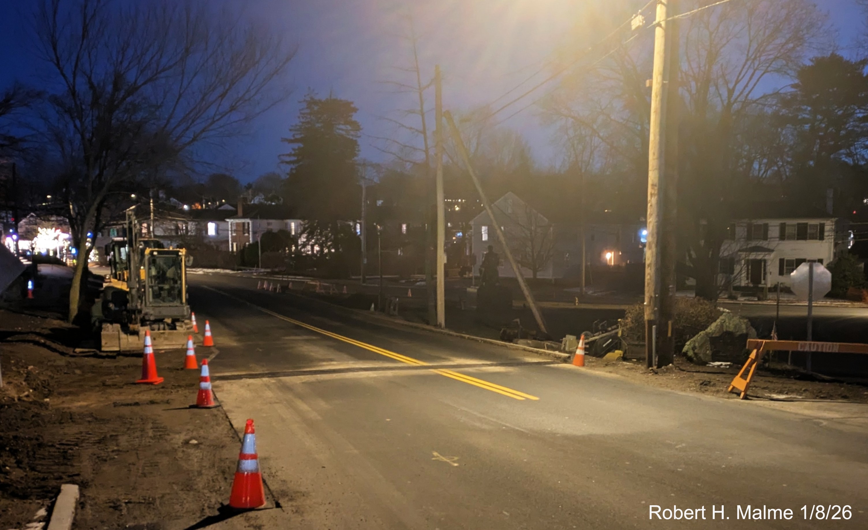
Looking towards North Street, they have removed the sidewalk along
the east side of Lincoln Street and begun clearing on the west side.
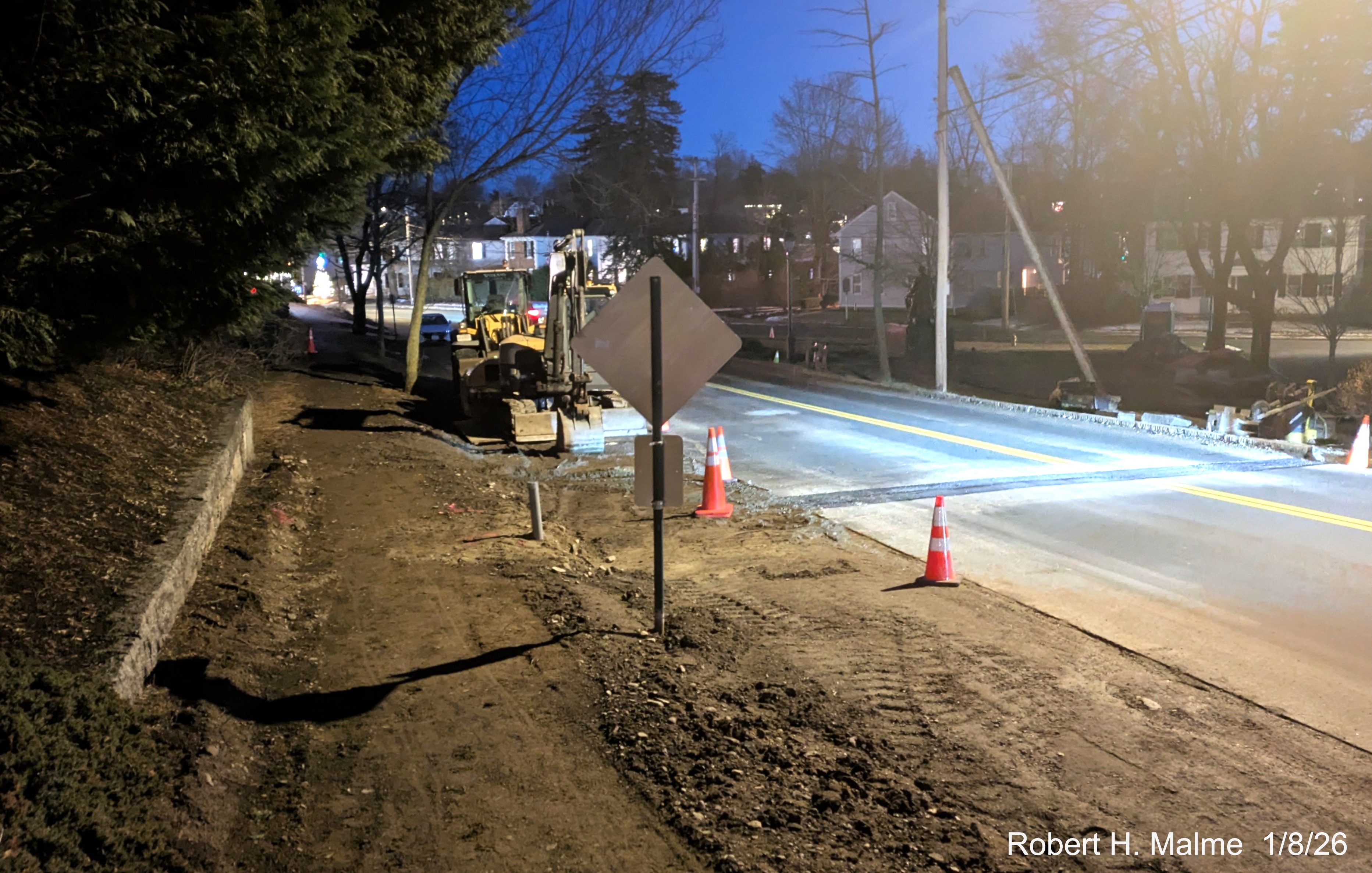
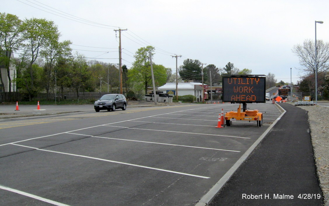
A closer look at the removed the sidewalk shows they also have
removed the parking spaces in the area, to the left of the cones.
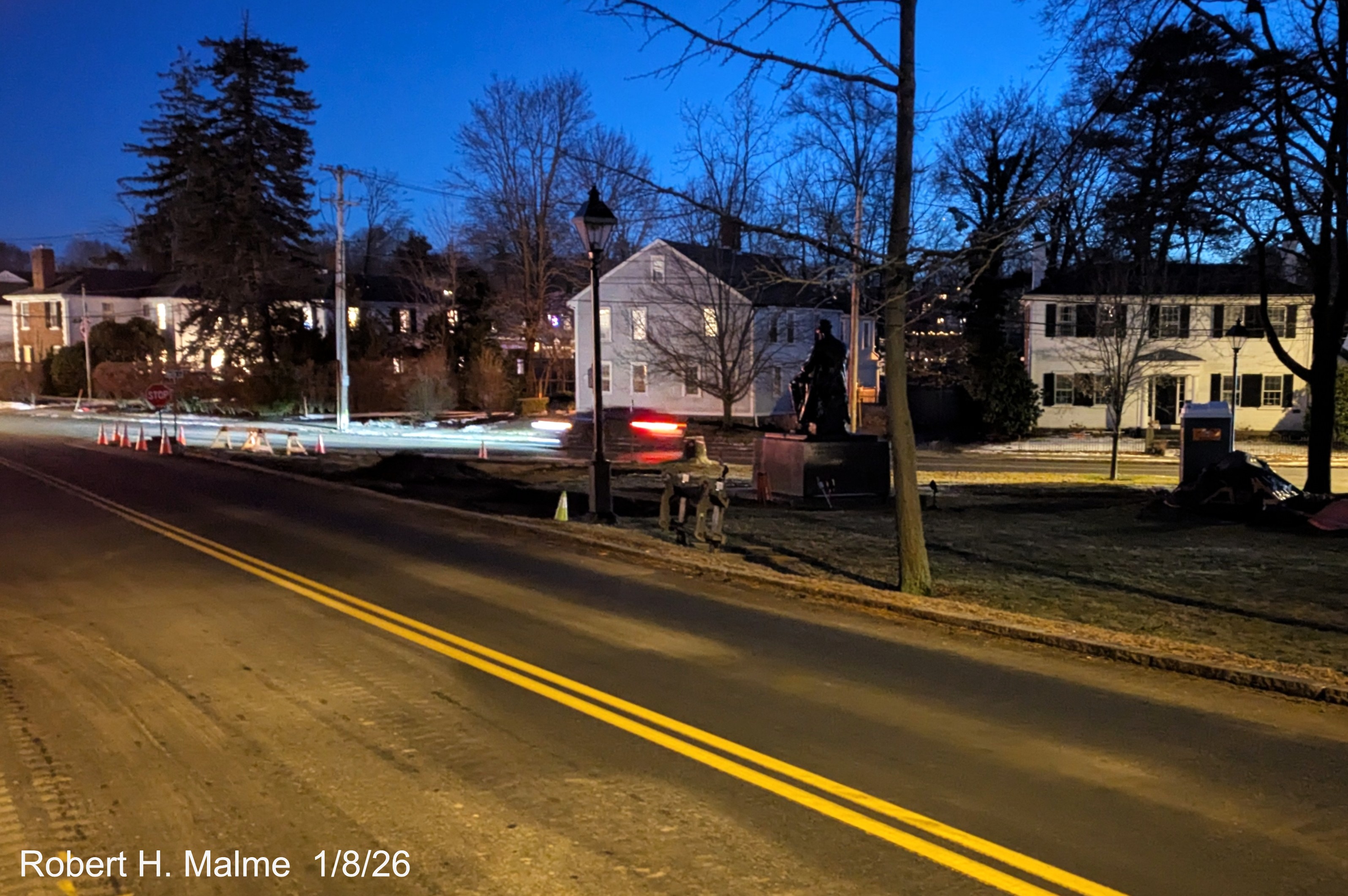
Looking towards North Street showing intial construction in Fountain
Square and the parking of construction equipment.
2025 Photos
Taken December 20, 2025
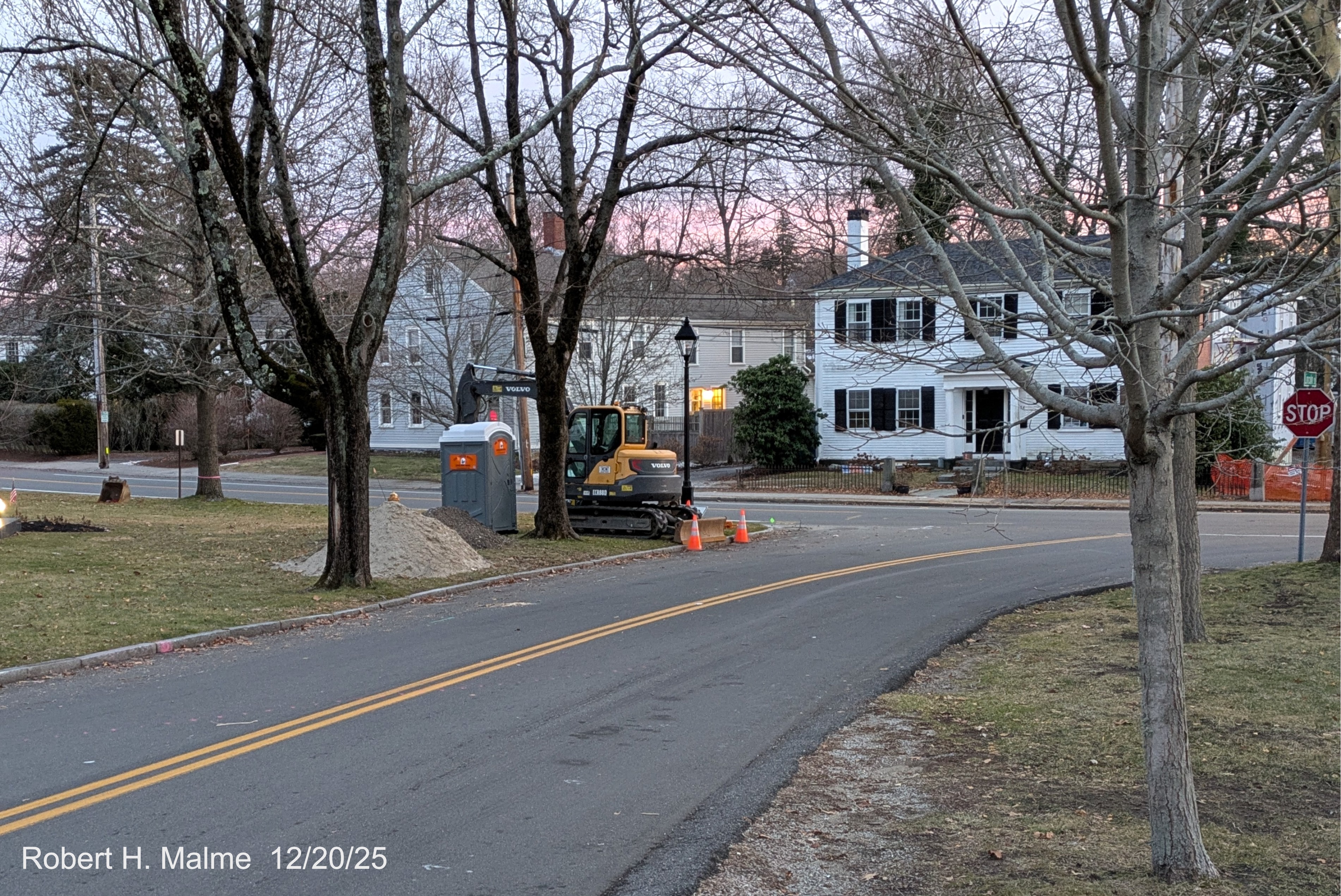
Looking along the western Lincoln Street roadway days after the
start of construction.
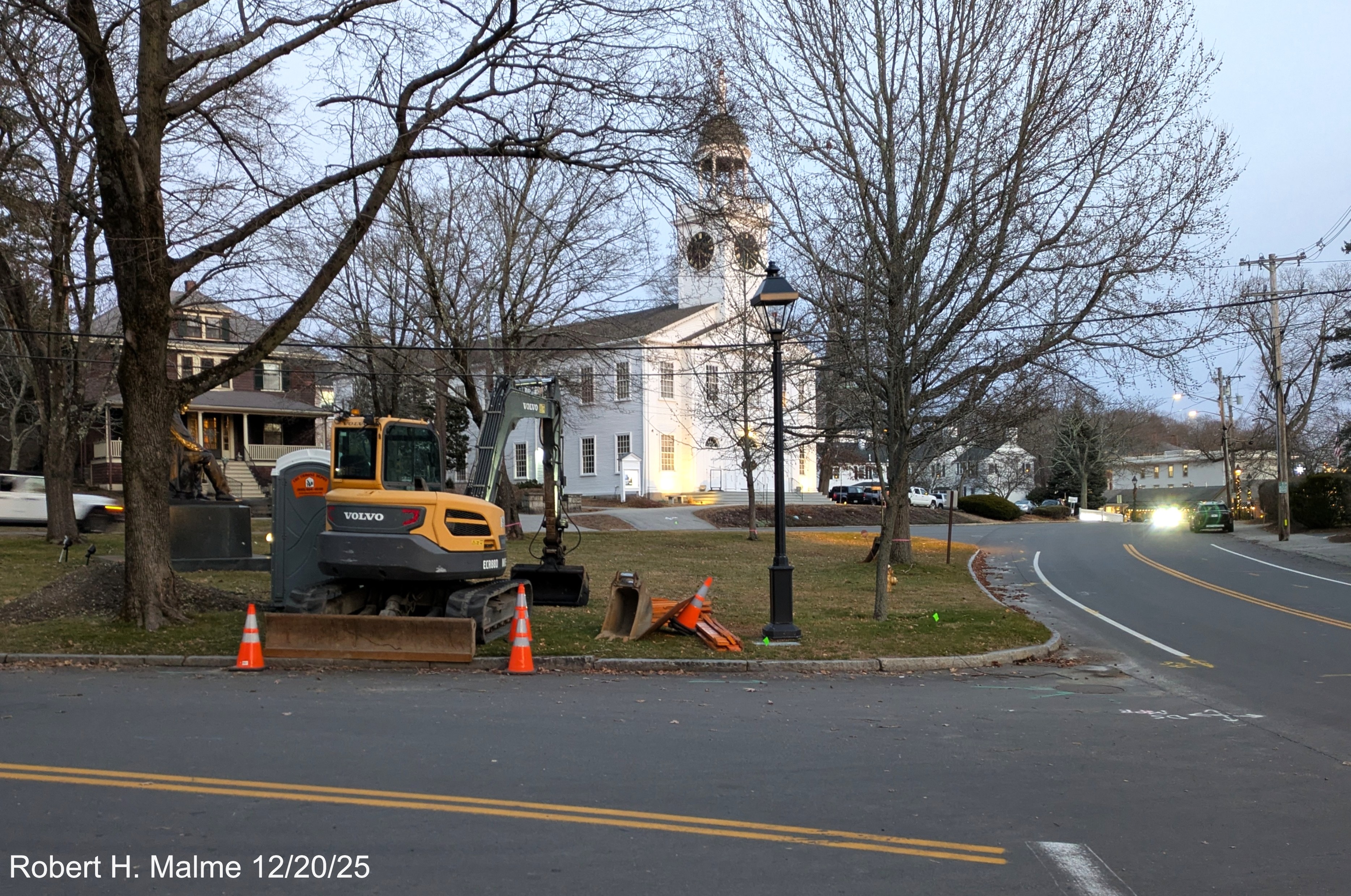
Looking across the western Lincoln Street roadway at Fountain Square
showing initial construction and equipment.
Taken December 17, 2025
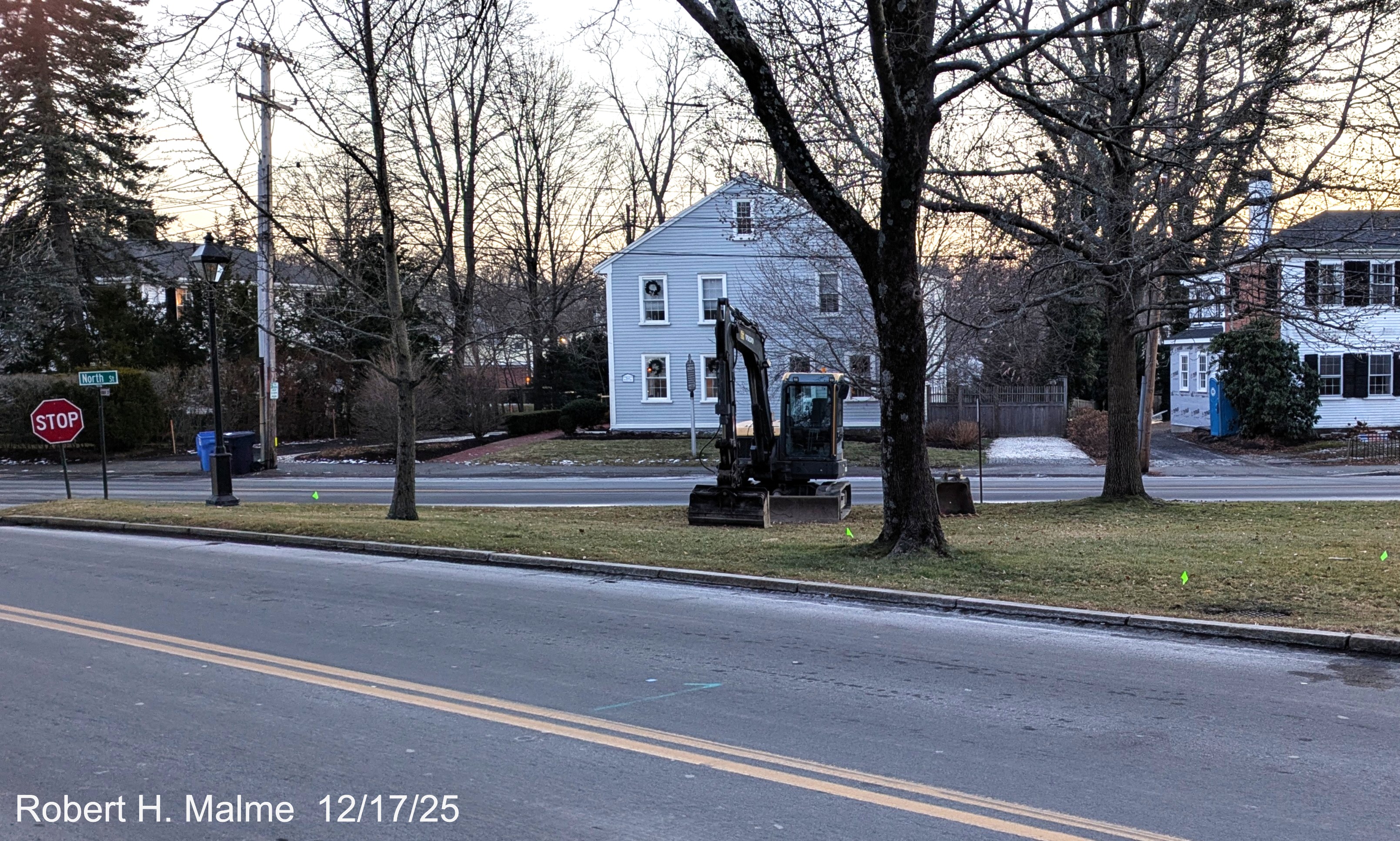
On the first day of construction little evidence of the impending
project except for parked construction equipment.
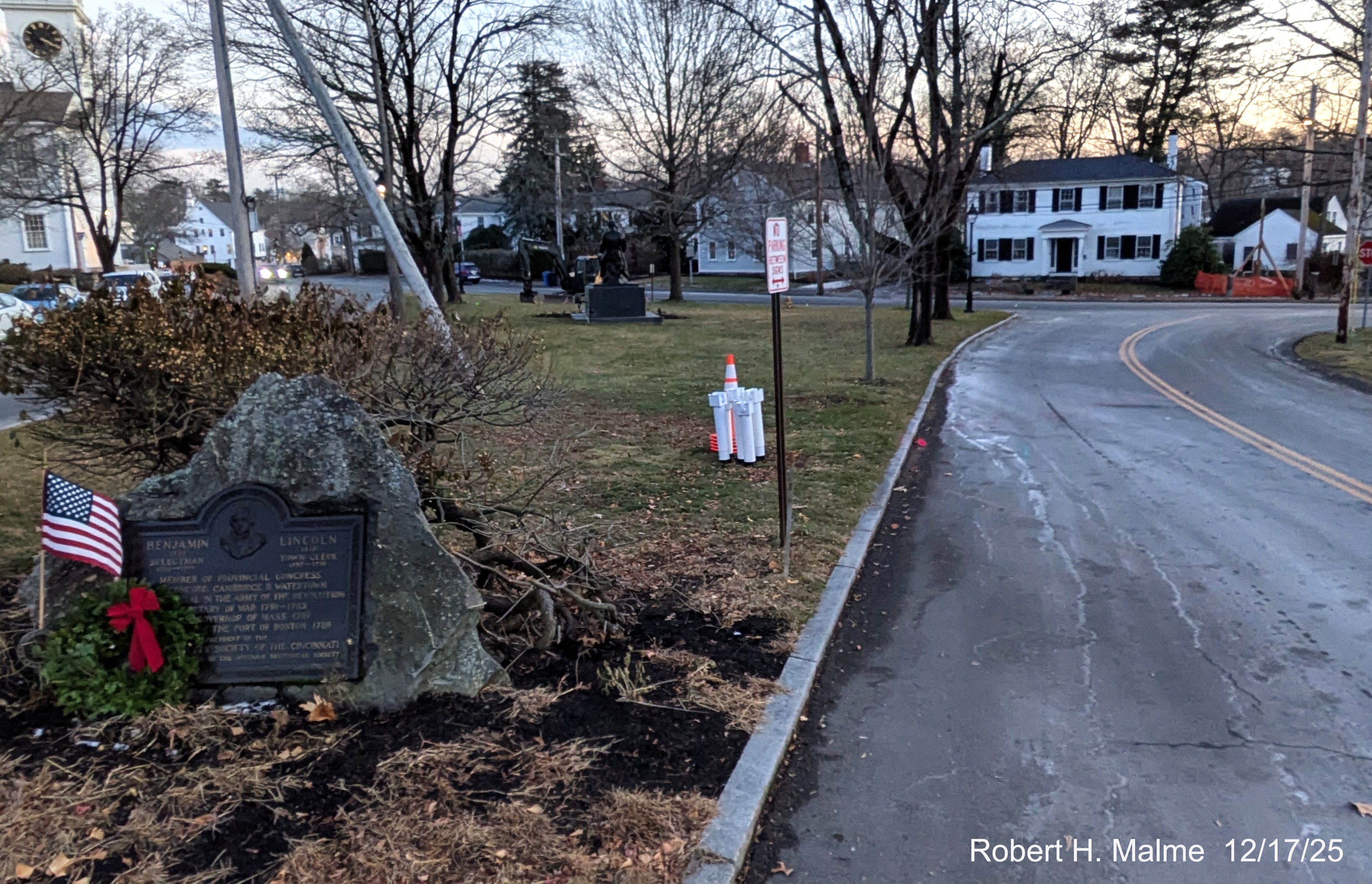
Looking from the Benjamin Lincoln monument, just a single orange cone
marks the start of construction.
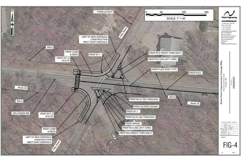
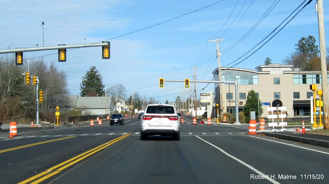
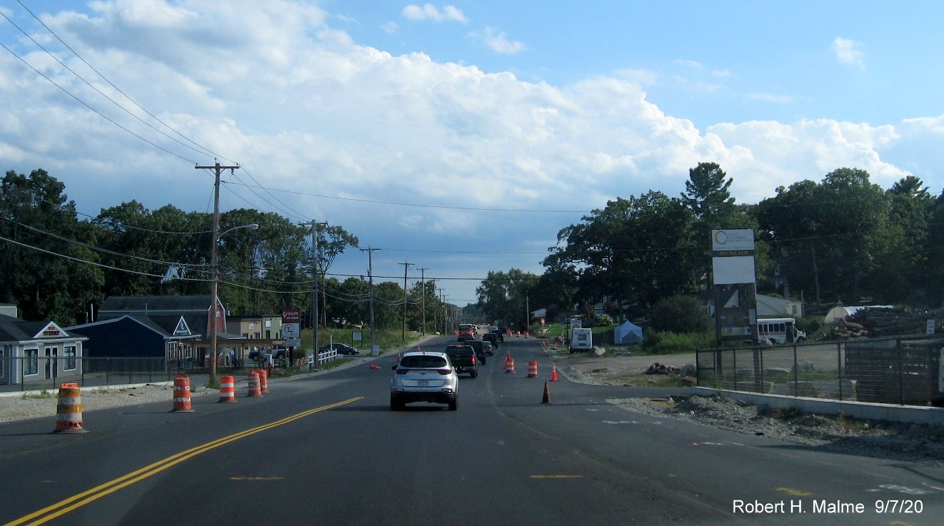
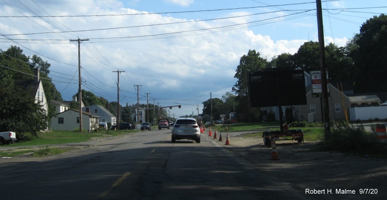
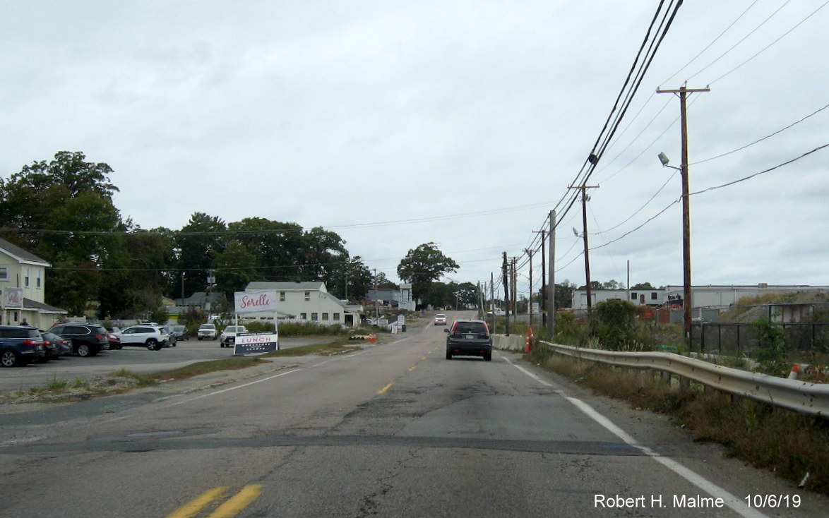
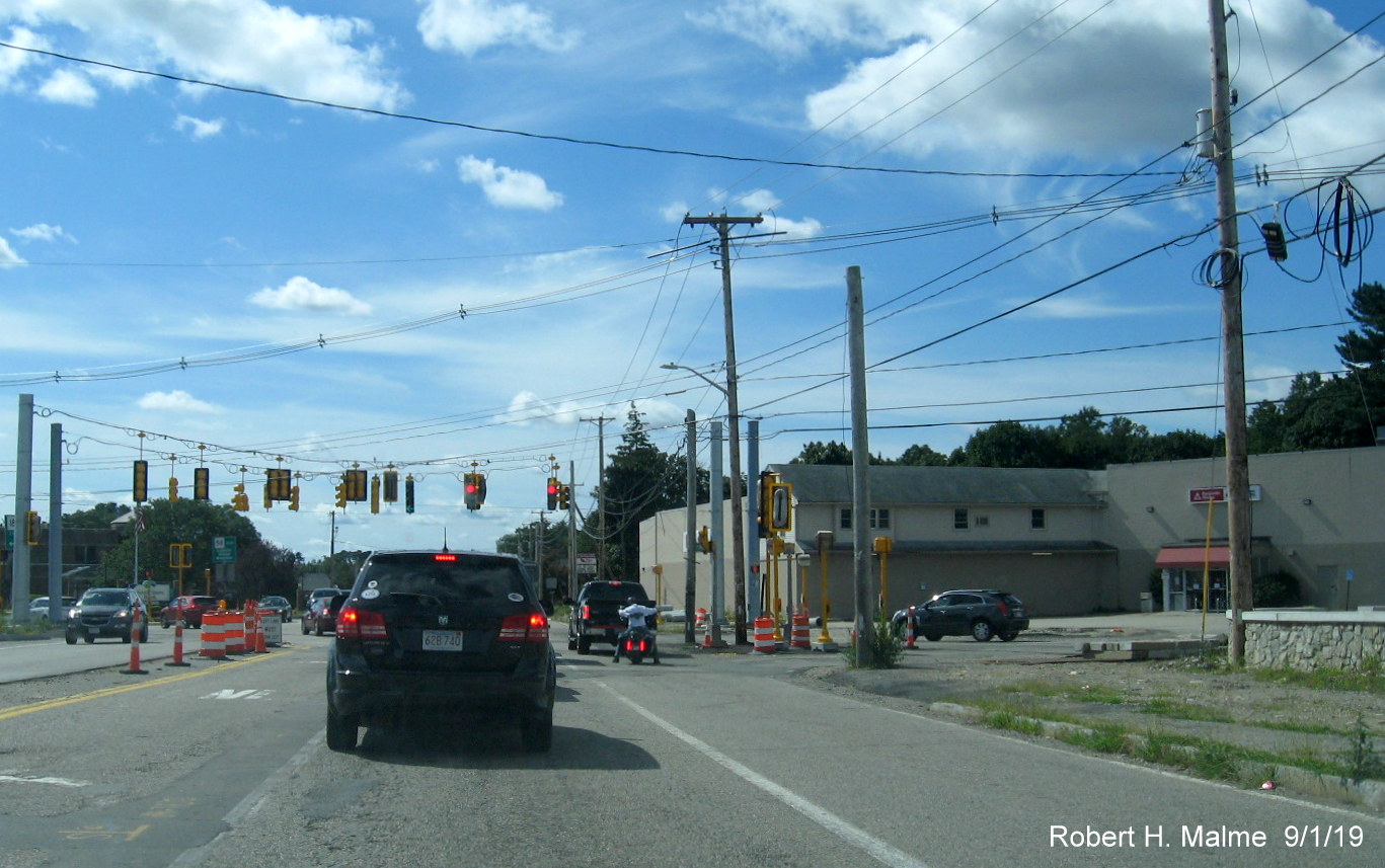
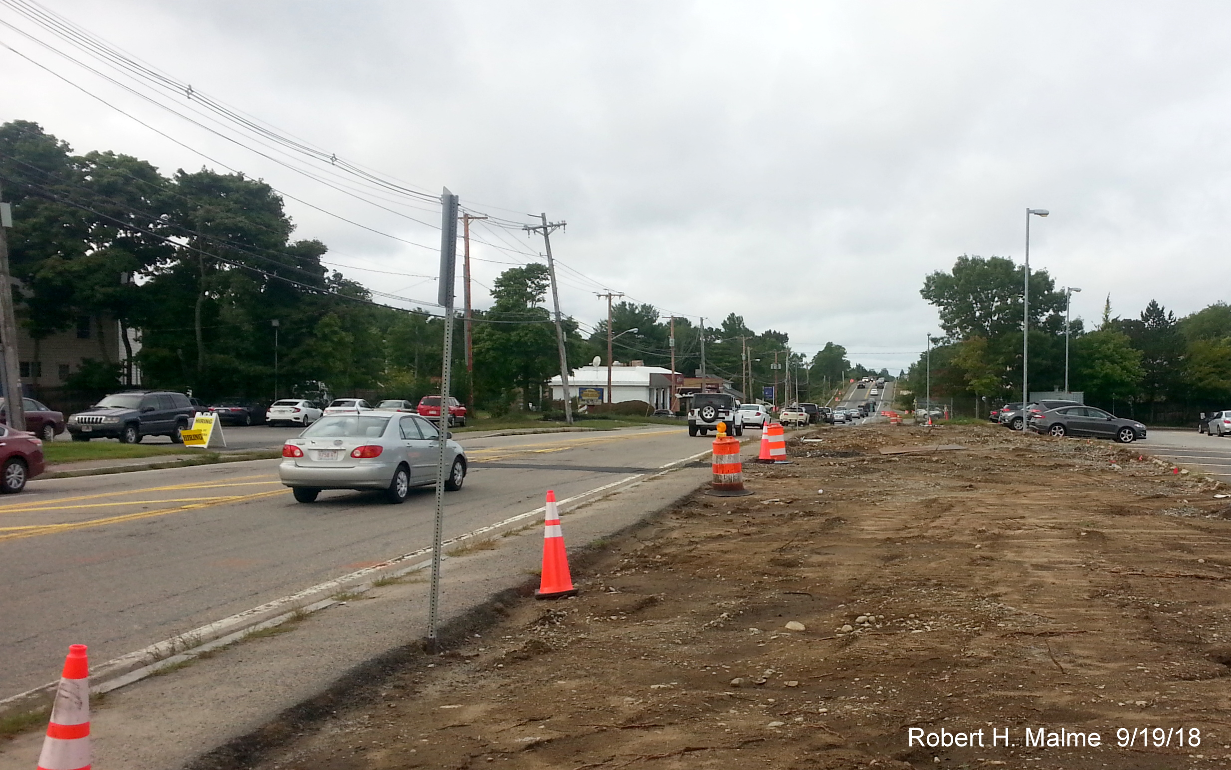
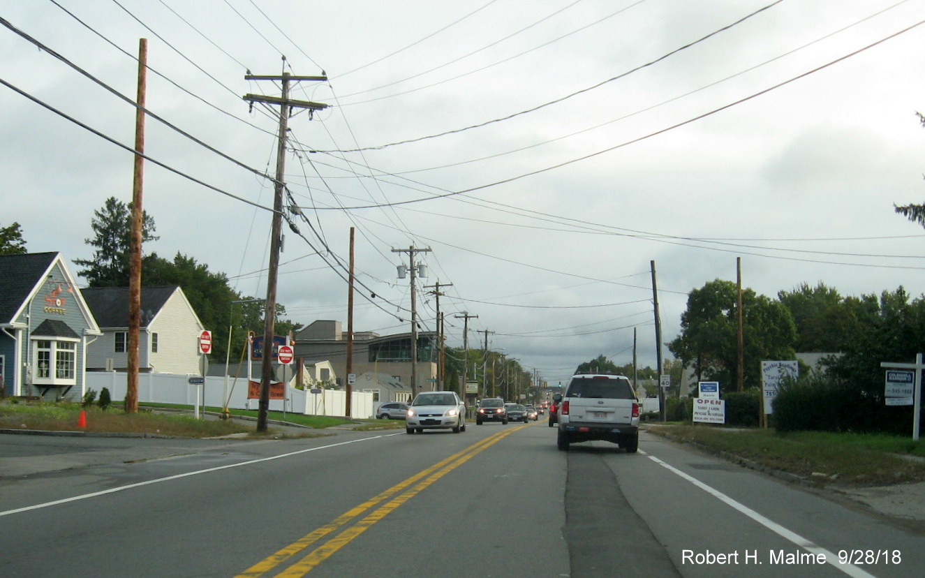
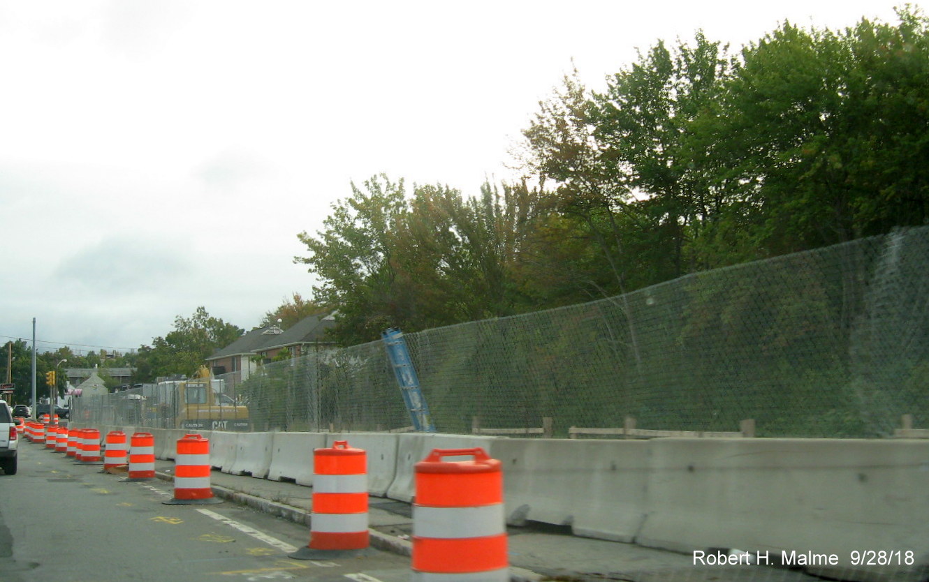
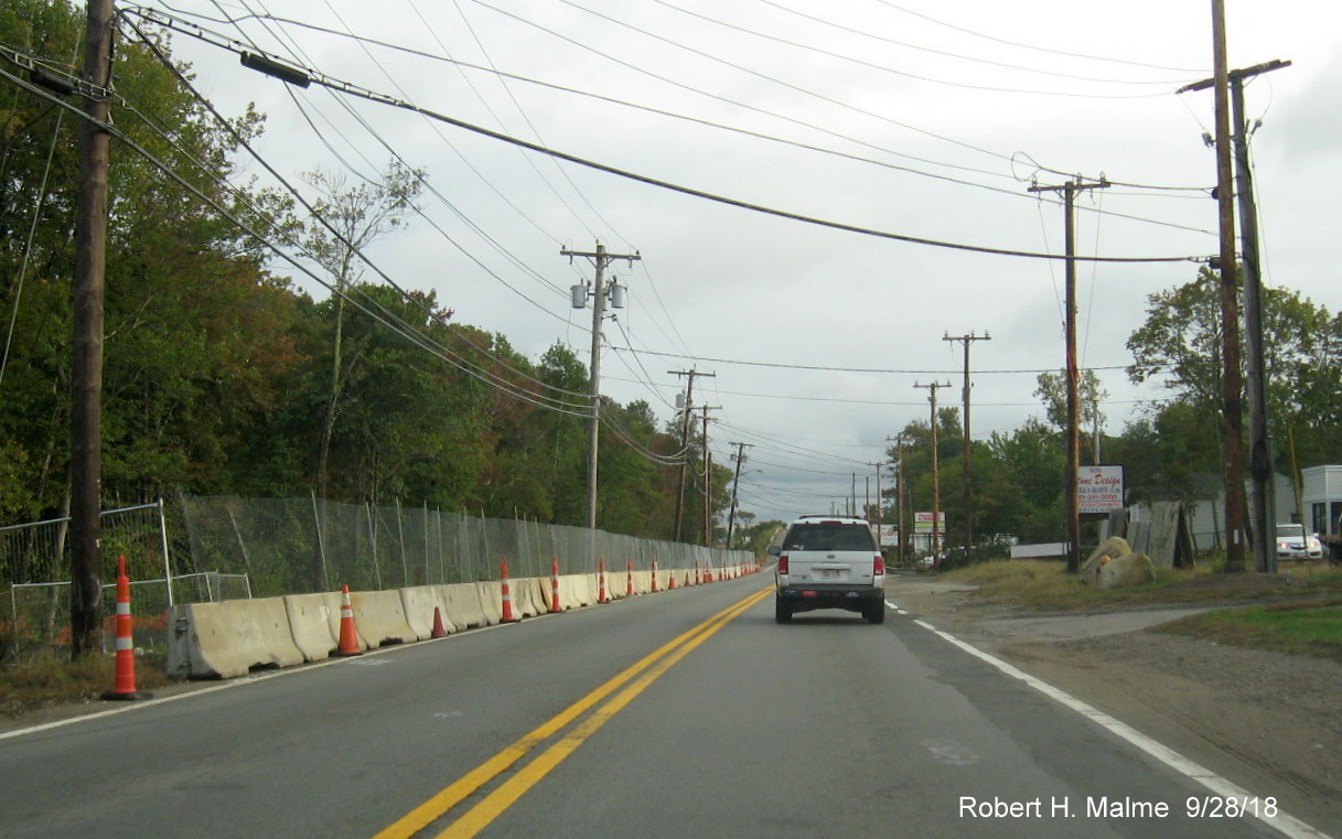
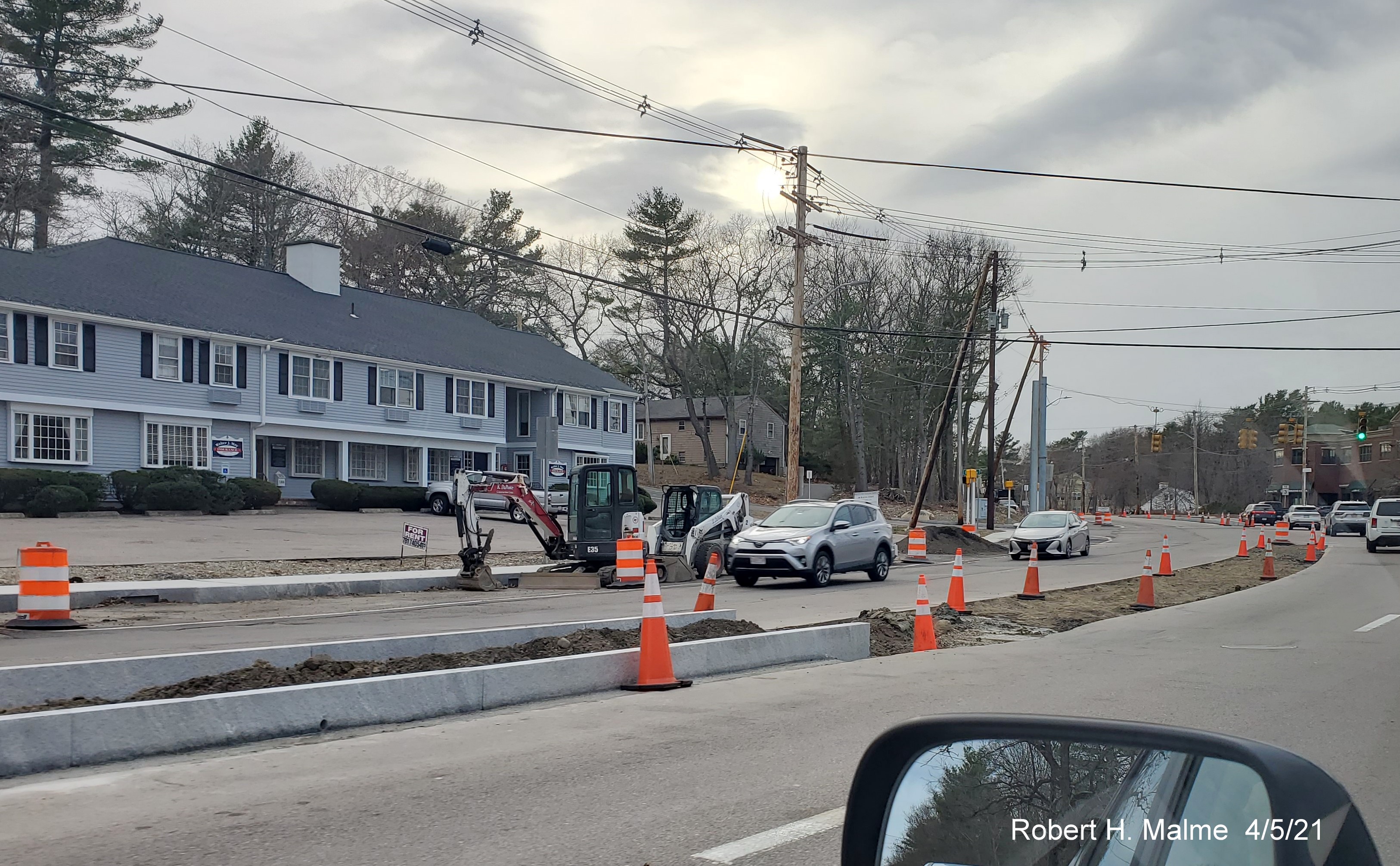
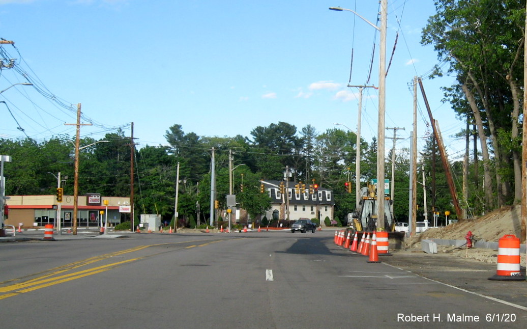
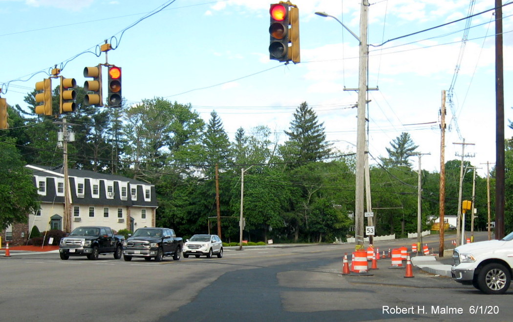
B. Kilby Street intersection Safety Improvements, Fall 2021 to Spring 2022
The intersection
of Kilby Street with Chief Justice Cushing Highway (Route 3A) in Hingham
has been the scene of many bad accidents over the years involving cross
traffic. Once guarded by traffic signals, first placed in the late 1950s
with the rerouting of then Route 128 from East Street to Kilby then
along Route 3A South back to East Street, restored to its original
alignment in 1970, was, in the 1980s, replaced with flashing red (Kilby)
and yellow (3A) lights. Years of study resulted in the town and state
finally agreeing to modify the intersection to improve safety by
preventing traffic on Kilby from crossing Route 3A. The plan was to
create two right turn only intersections with a flexi-post barrier down
the middle of 3A. Traffic wanting to access East Street/Route 228 could
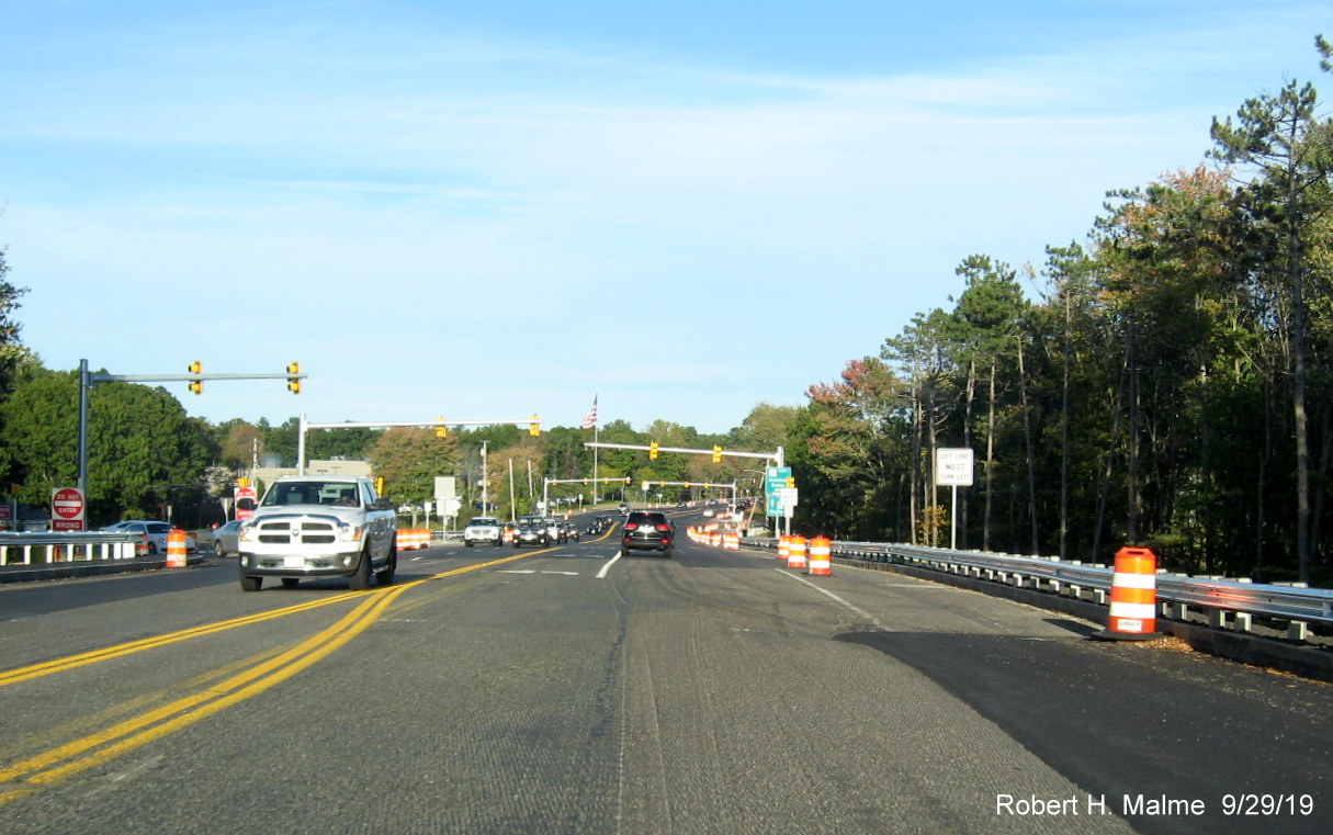
use the signalized Summer Street intersection nearby. Here's the final
plan, however, the proposed flexi-posts seen here in the plans were never installed:
Work started in
September 2021. Here are photos documenting progress in construction
which is supposed to be completed by the end of November, latest photos first.
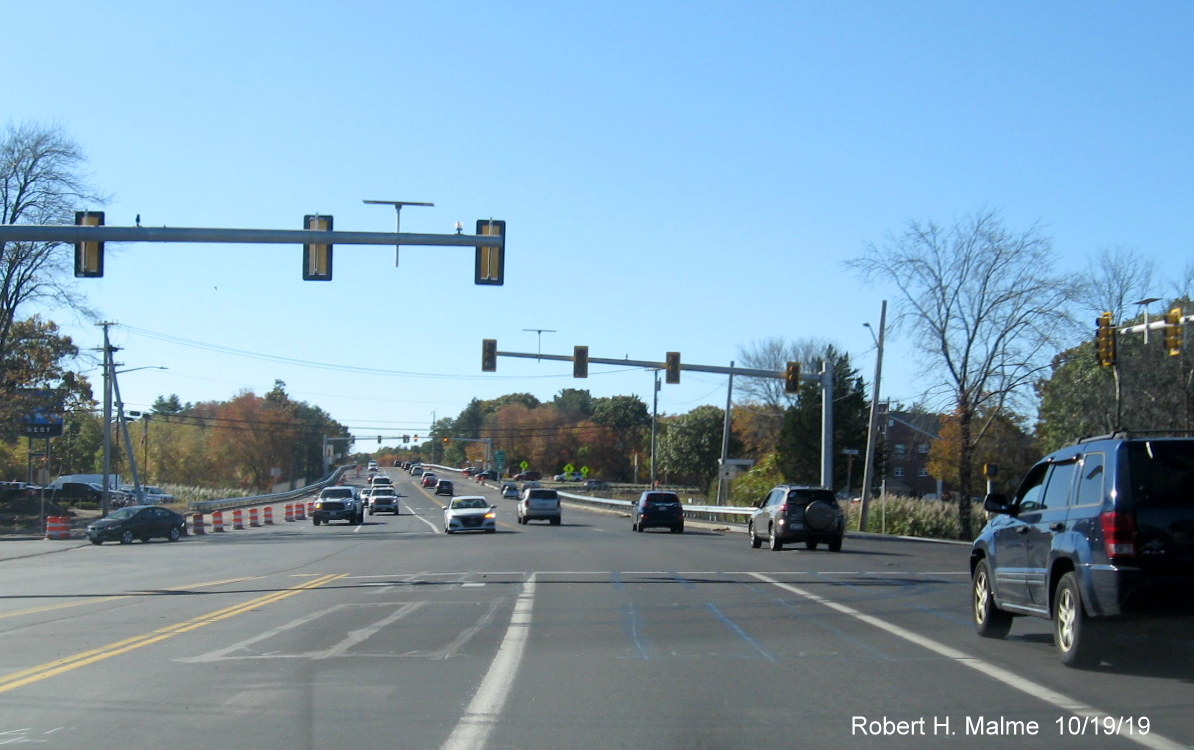
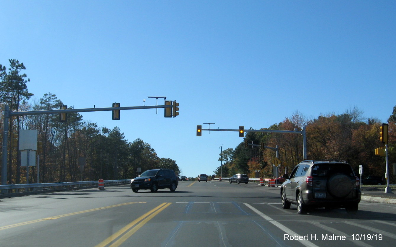
Latest Photos, taken 11/30/21:
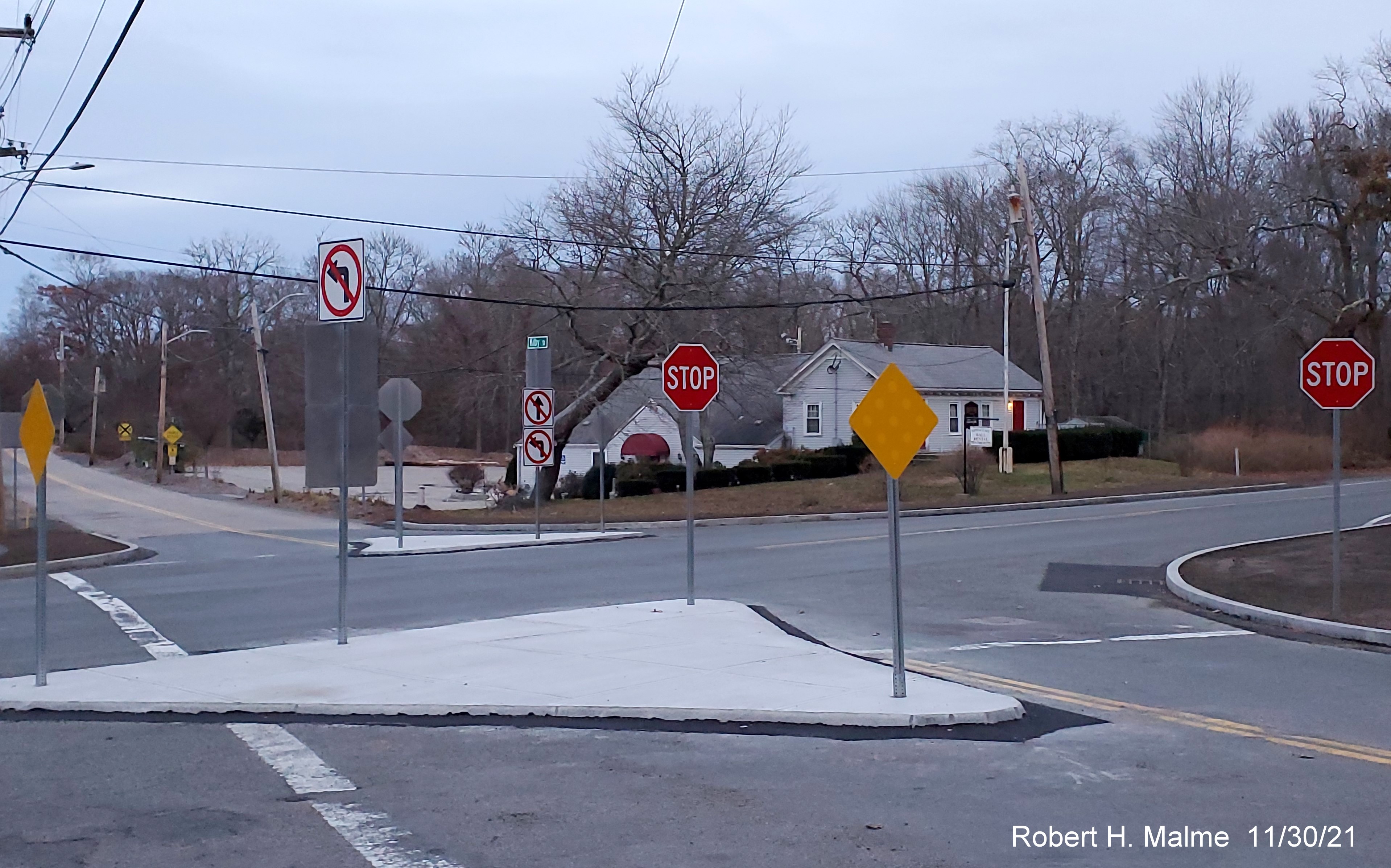
Permanent signage was installed in the two traffic islands the
week before Thanksgiving 2021, including reflectors facing oncoming traffic.
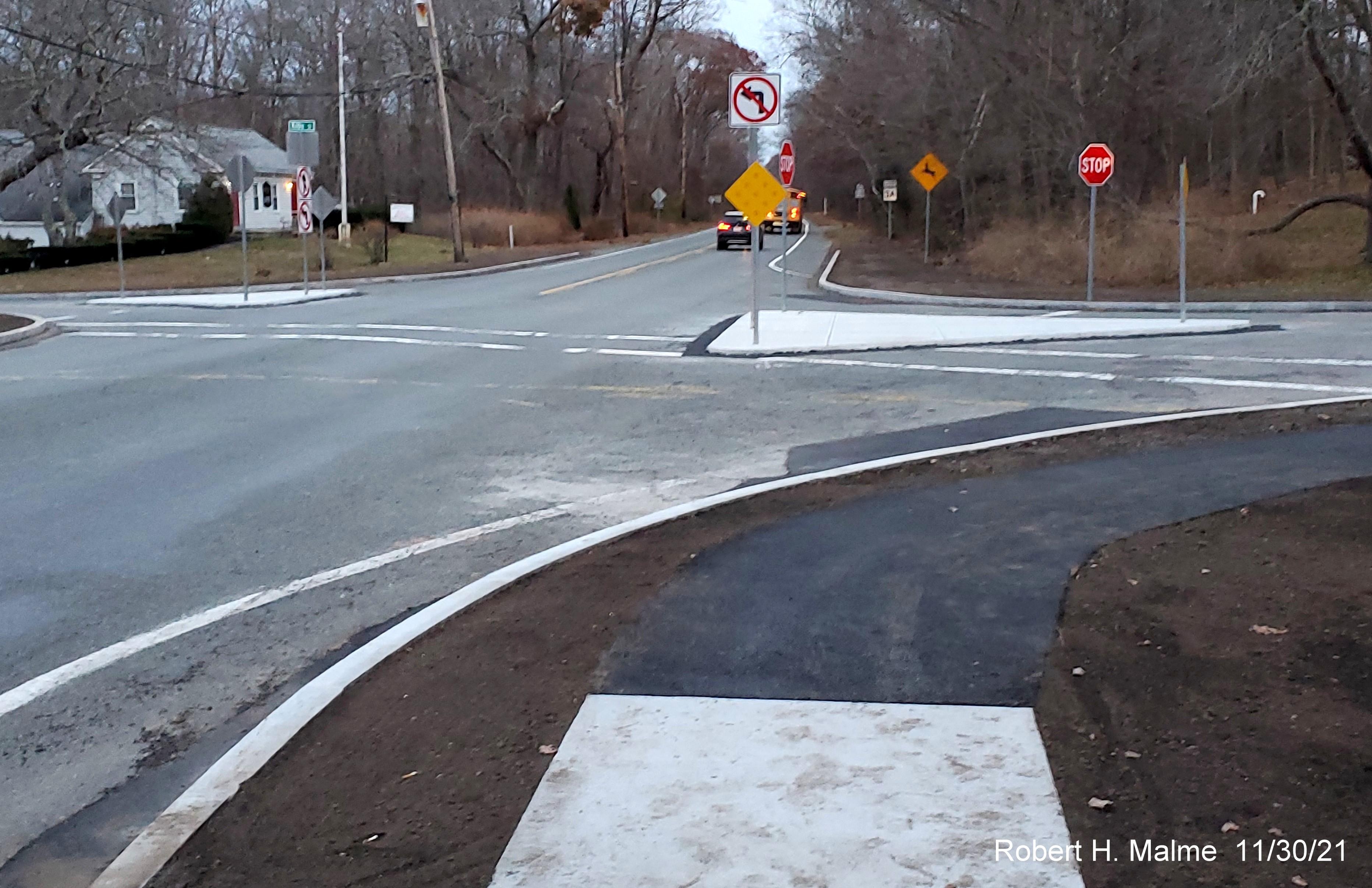
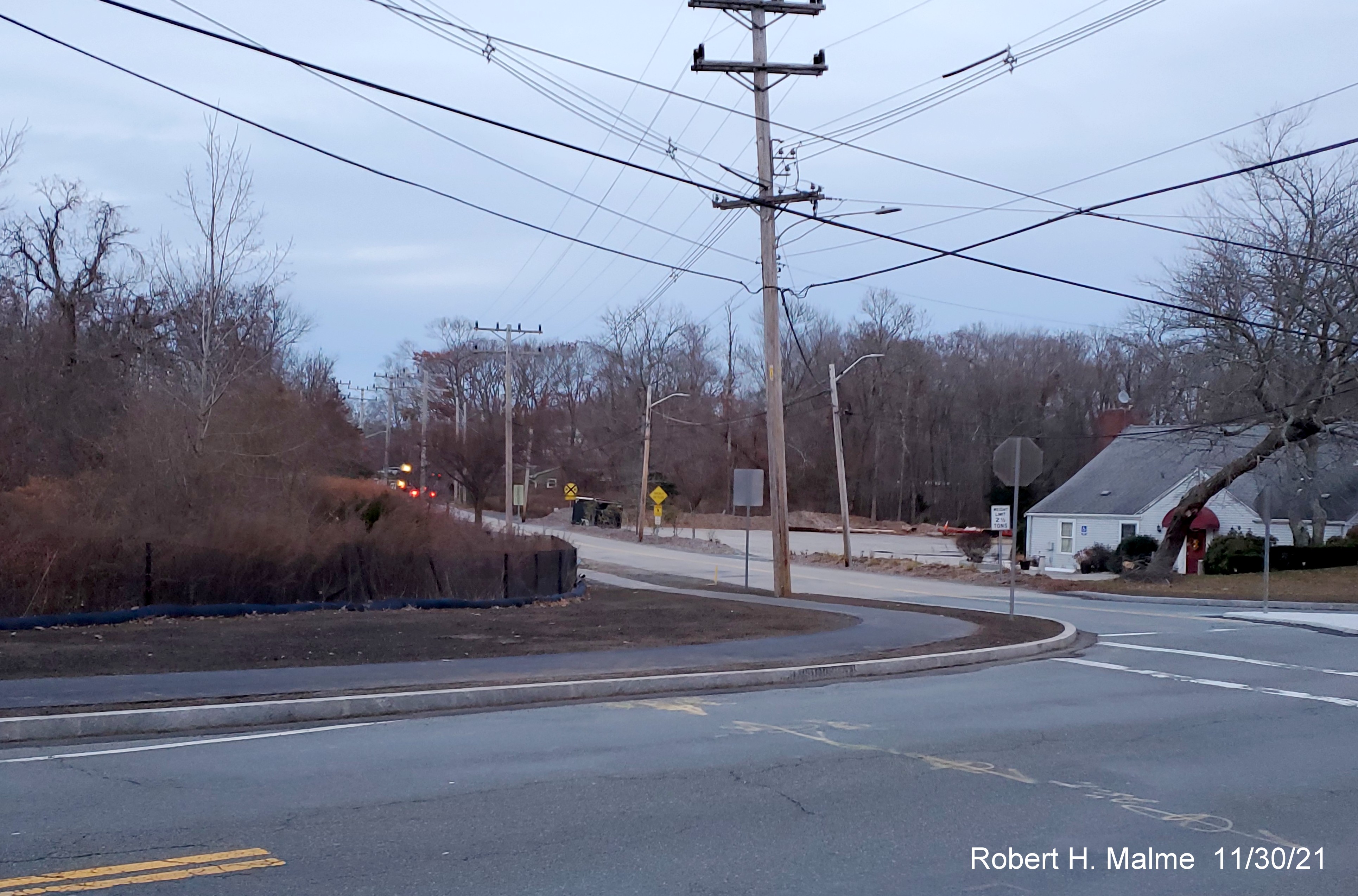
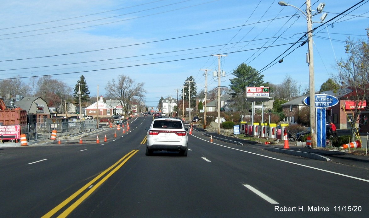
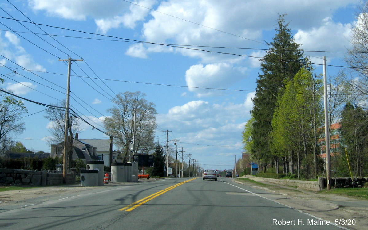
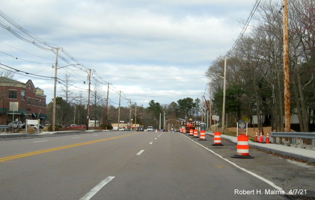
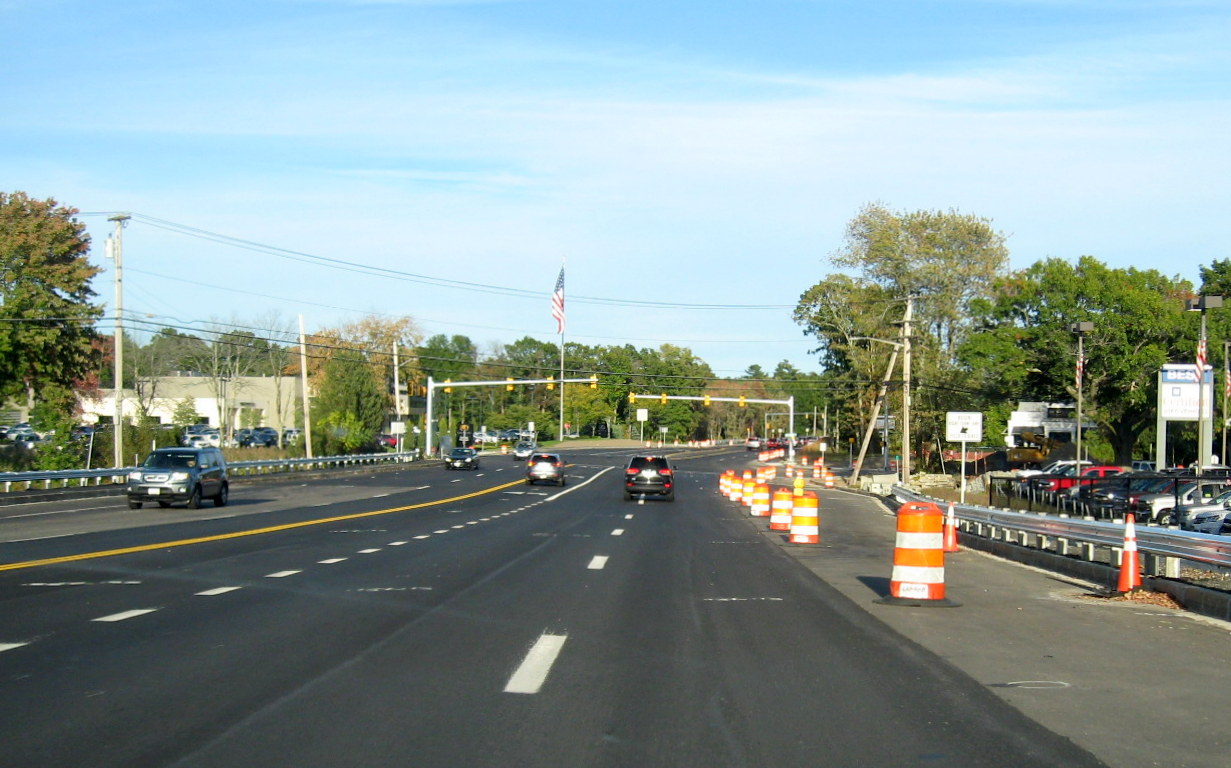
The newly paved
sidewalk along Route 3A South heading for the location of the new
crosswalk, which will be painted once the final layer of pavement is put
down, this though may have to wait until spring. The installation of the
planned flexi-post barrier down the middle of the roadway has to wait until the final paving.
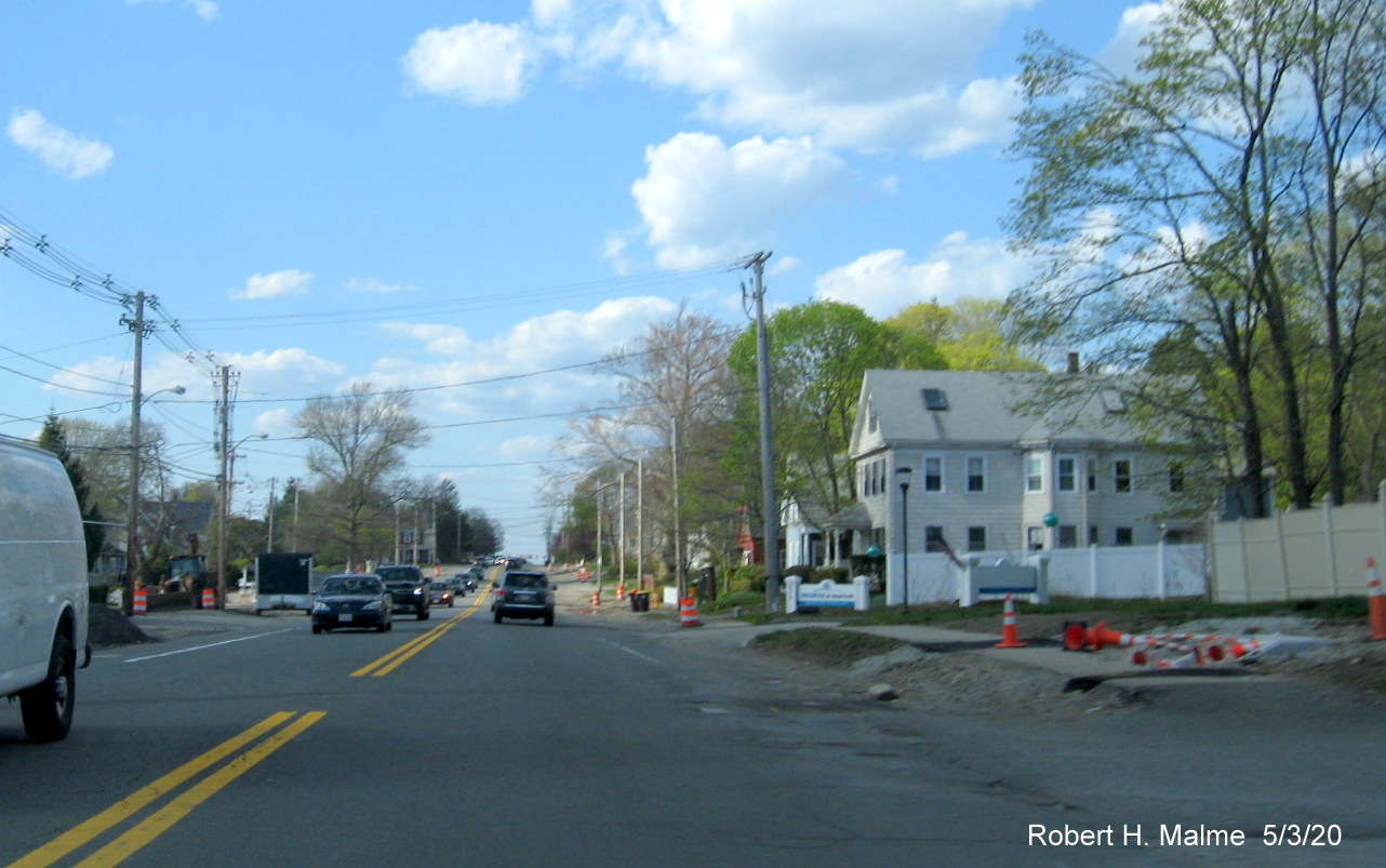
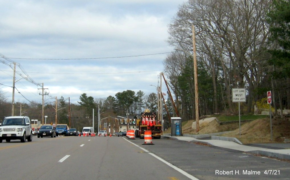
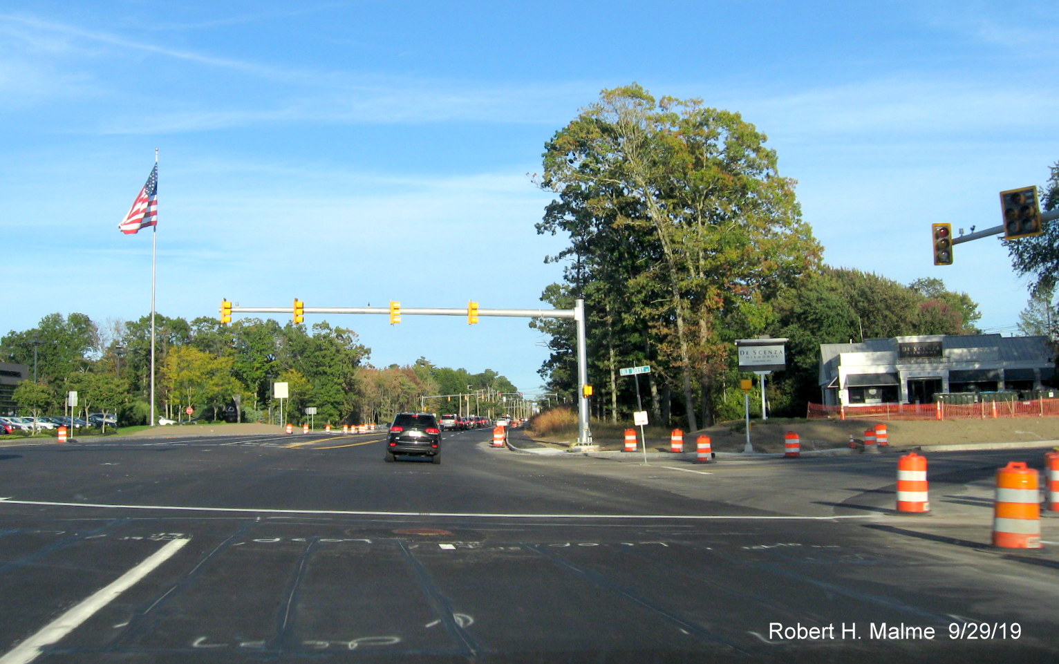
Looking across Route 3A at the new sidewalk along the northbound
lane, this currently leads to nothing since painting the new crosswalk also has to wait until the final paving is completed.
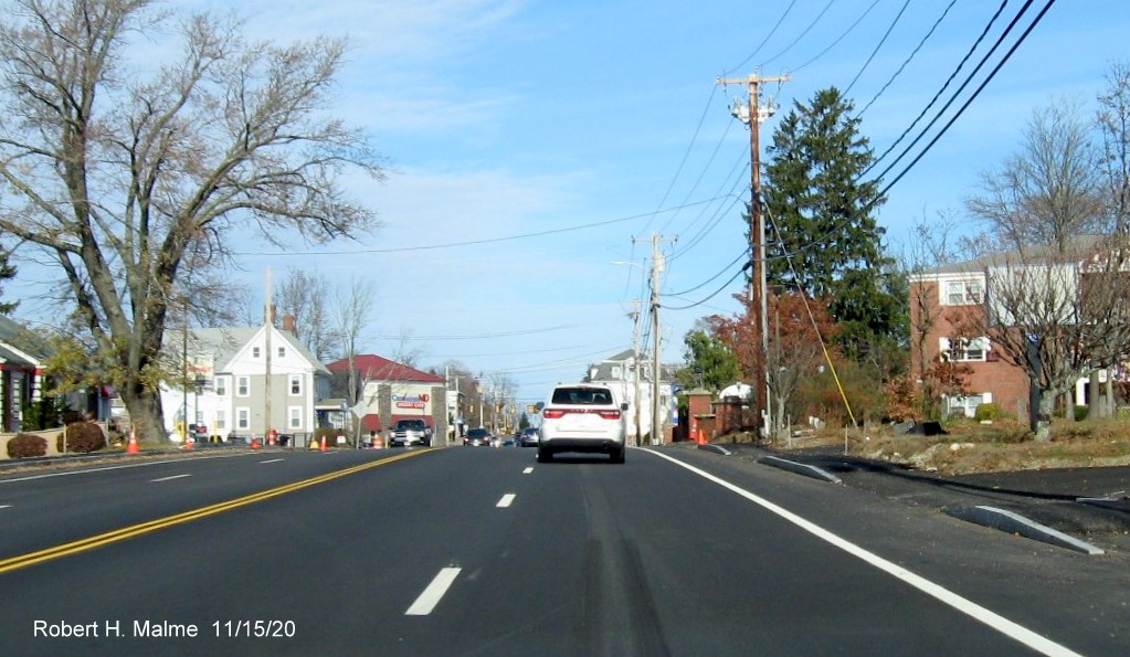
Earlier Photos
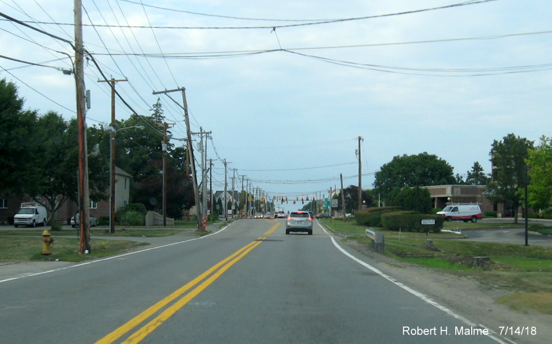
Taken 11/13/21:
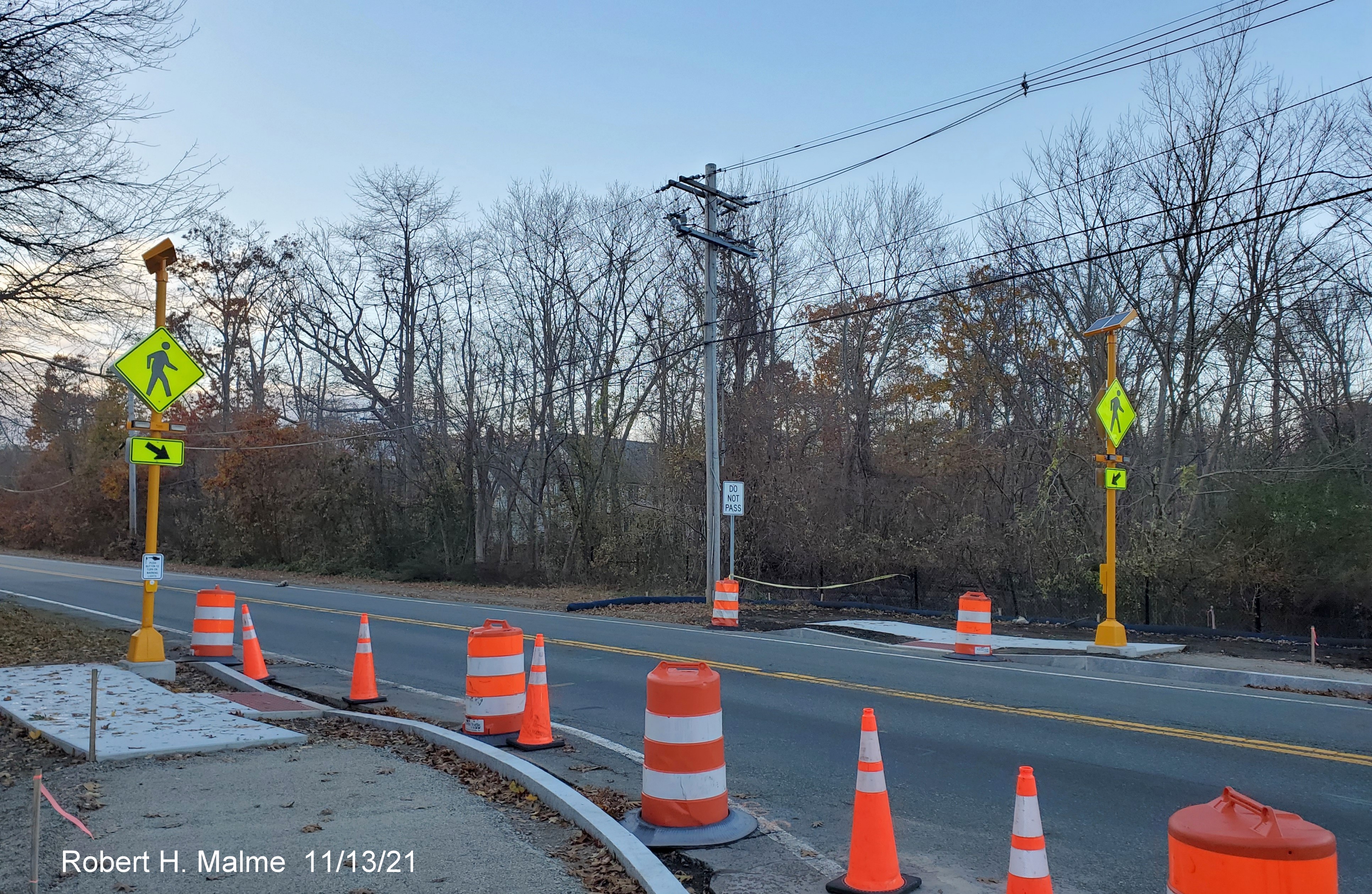
New pedestrian crossing signals set up at site of future crosswalk
to the north of the intersection.
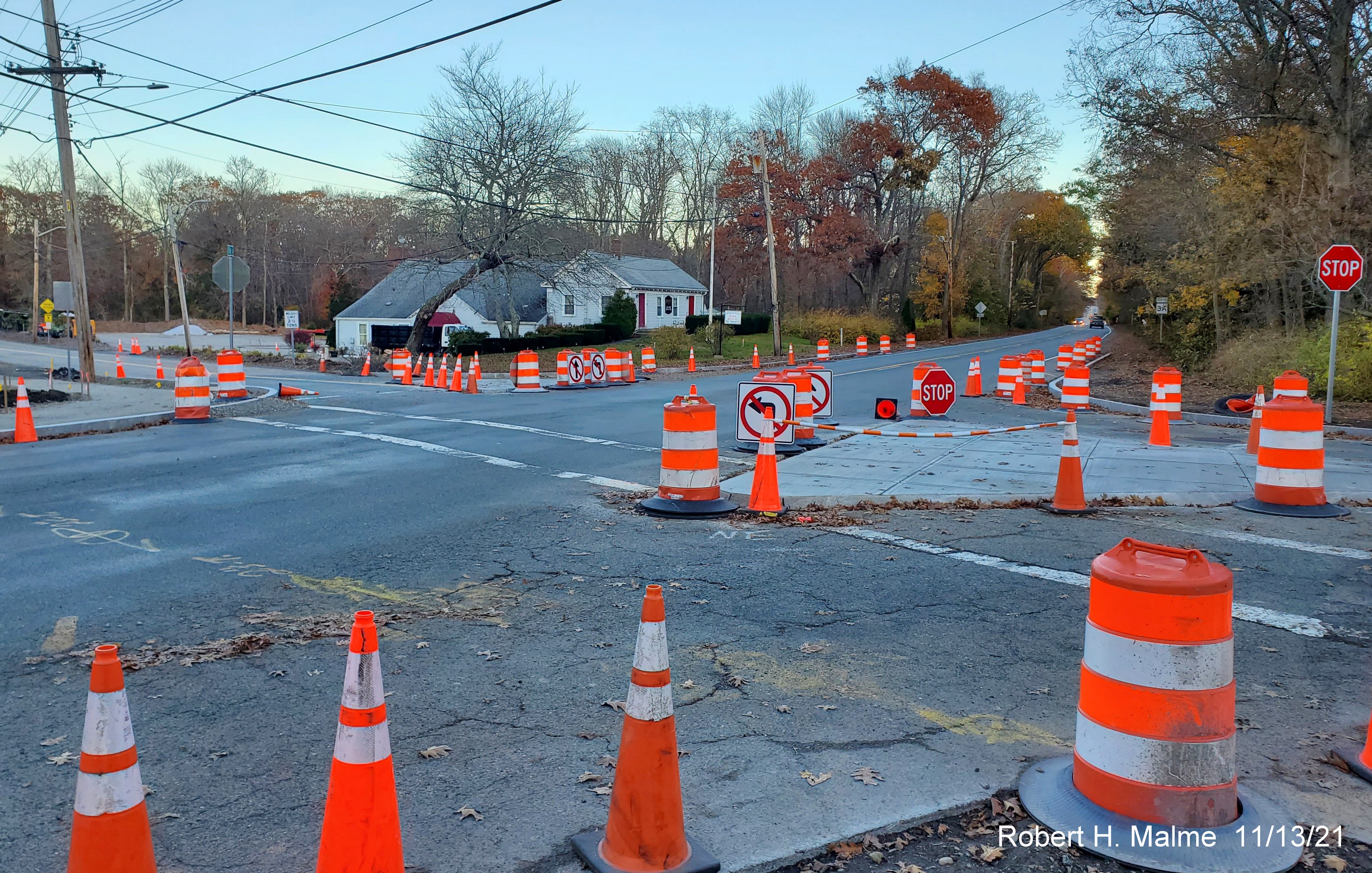
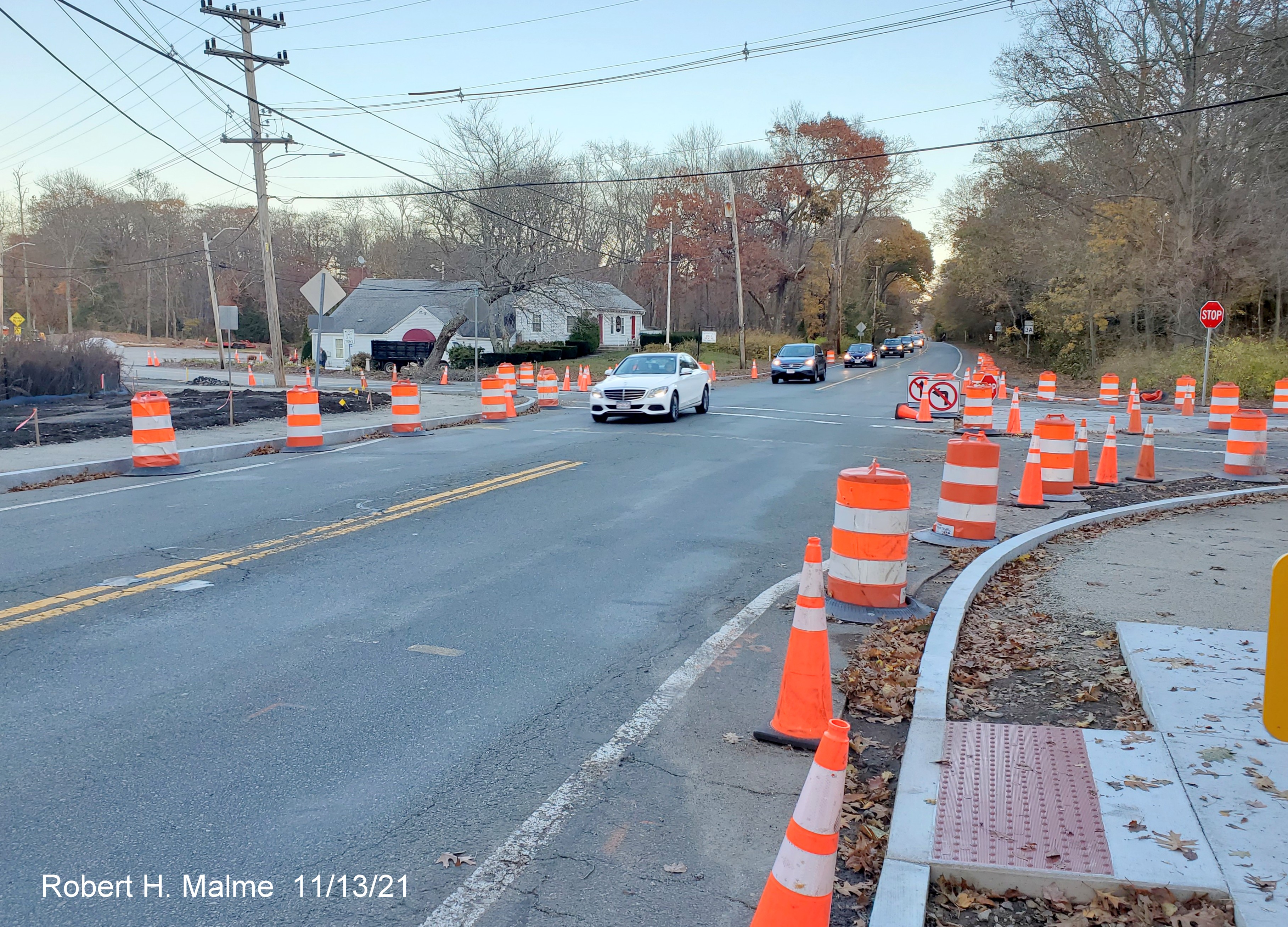
Traffic islands
on both sides for Route 3A have been filled in with concrete. This design will allow emergency vehicles to cross over them,
but hopefully dissuade other types from doing the same.
The future sidewalks on both sides of the intersection await
paving.
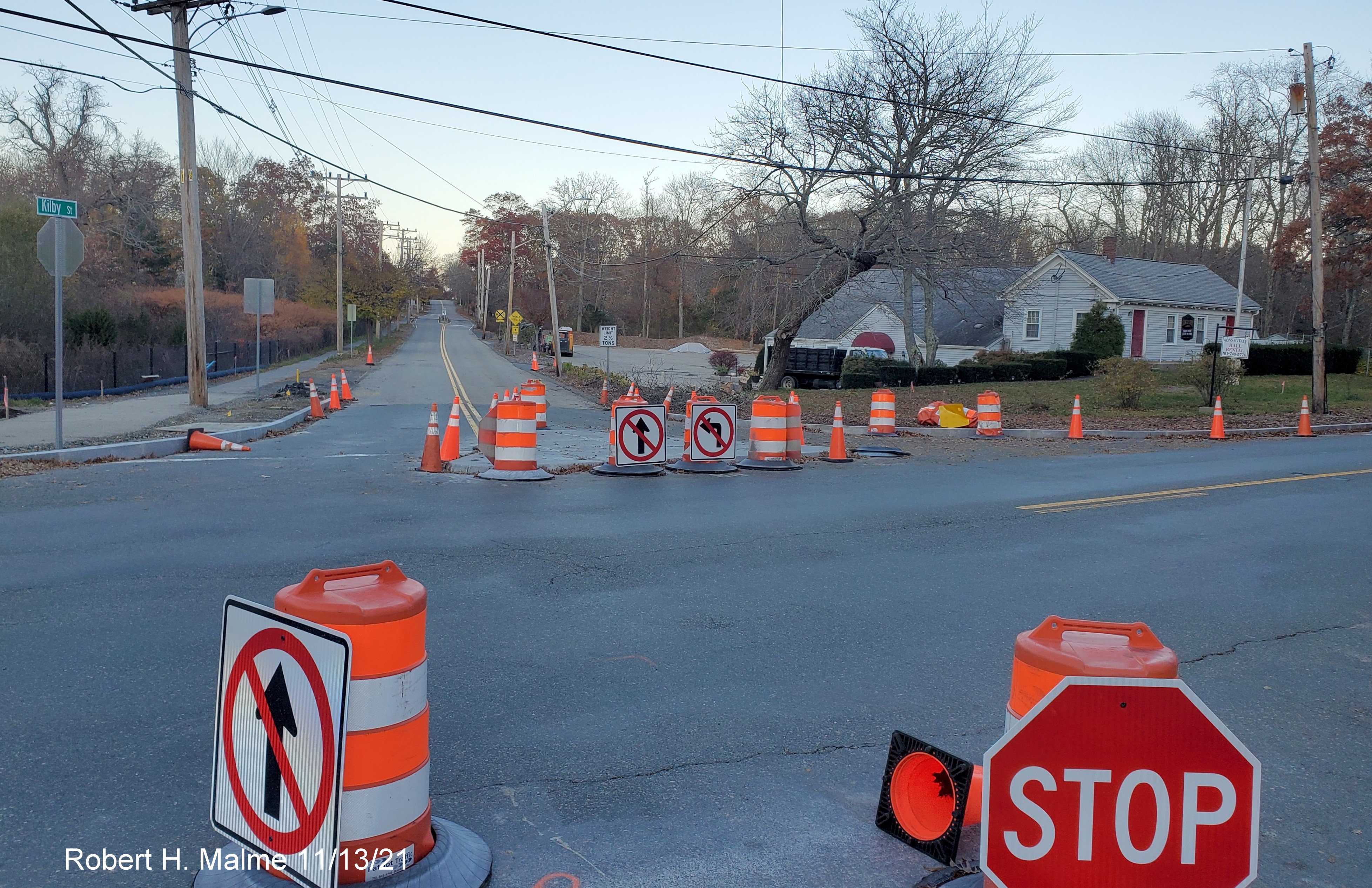
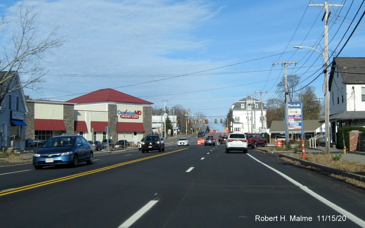
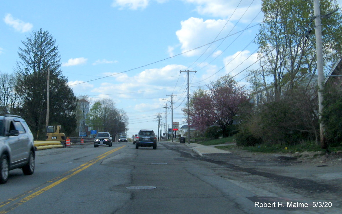
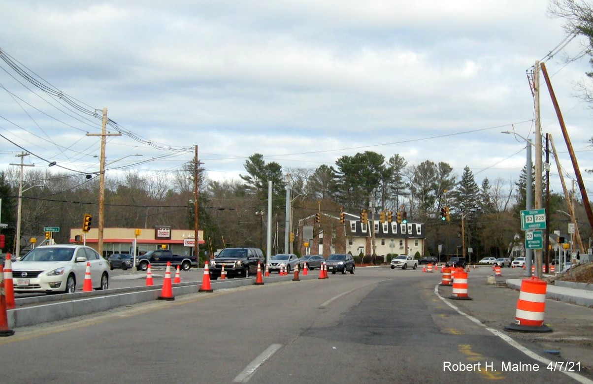
Looking across to the Kilby Street at Route 3A North intersection
showing barrels and cones still around the new traffic island and temporary No Turn signage, a police car was on Kilby Street
in the other direction in case drivers thought of ignoring the new no turn rules.
Taken 11/4/21:
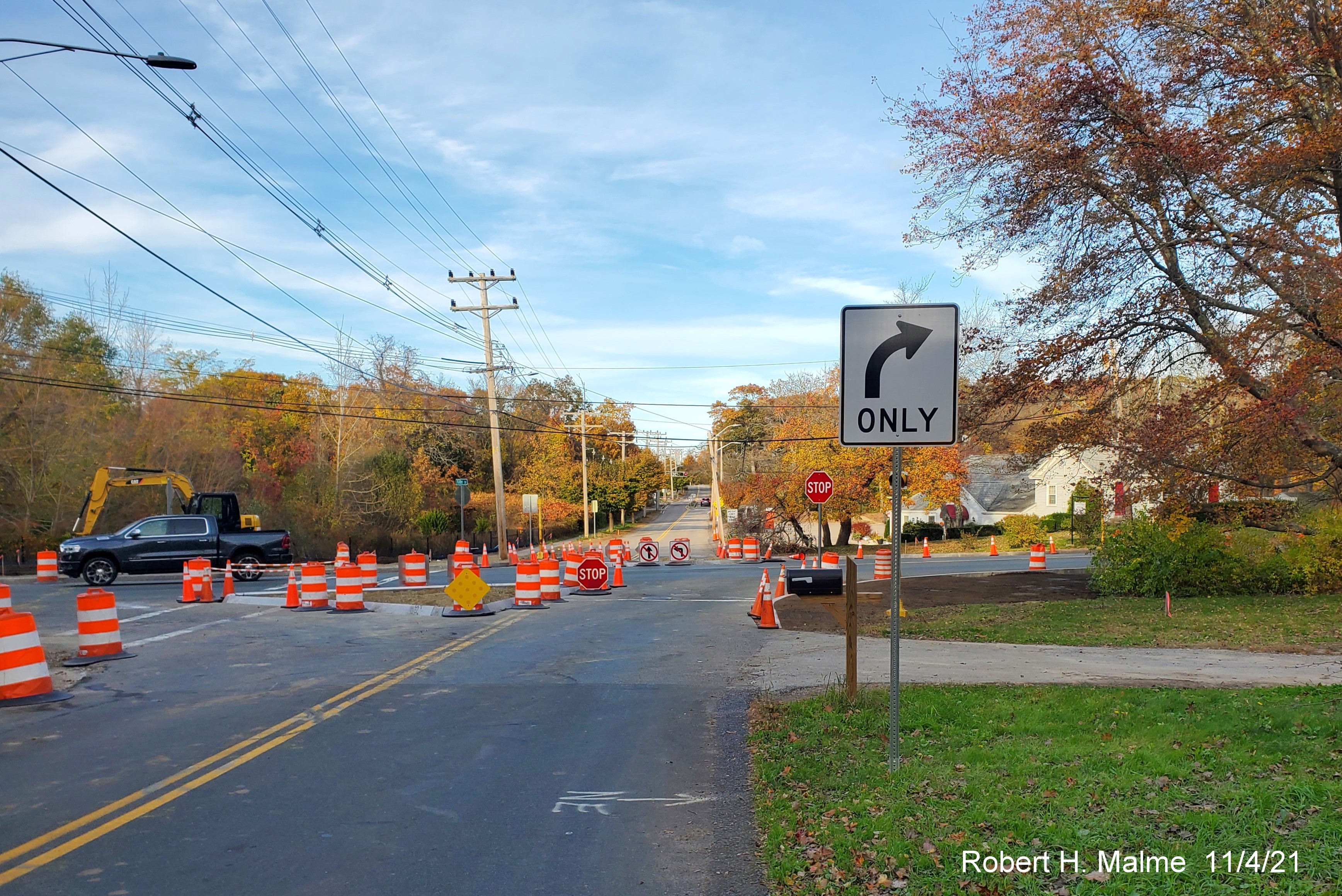
Newly installed Right Turn Only Sign approaching Route 3A headed
east on Kilby Street.
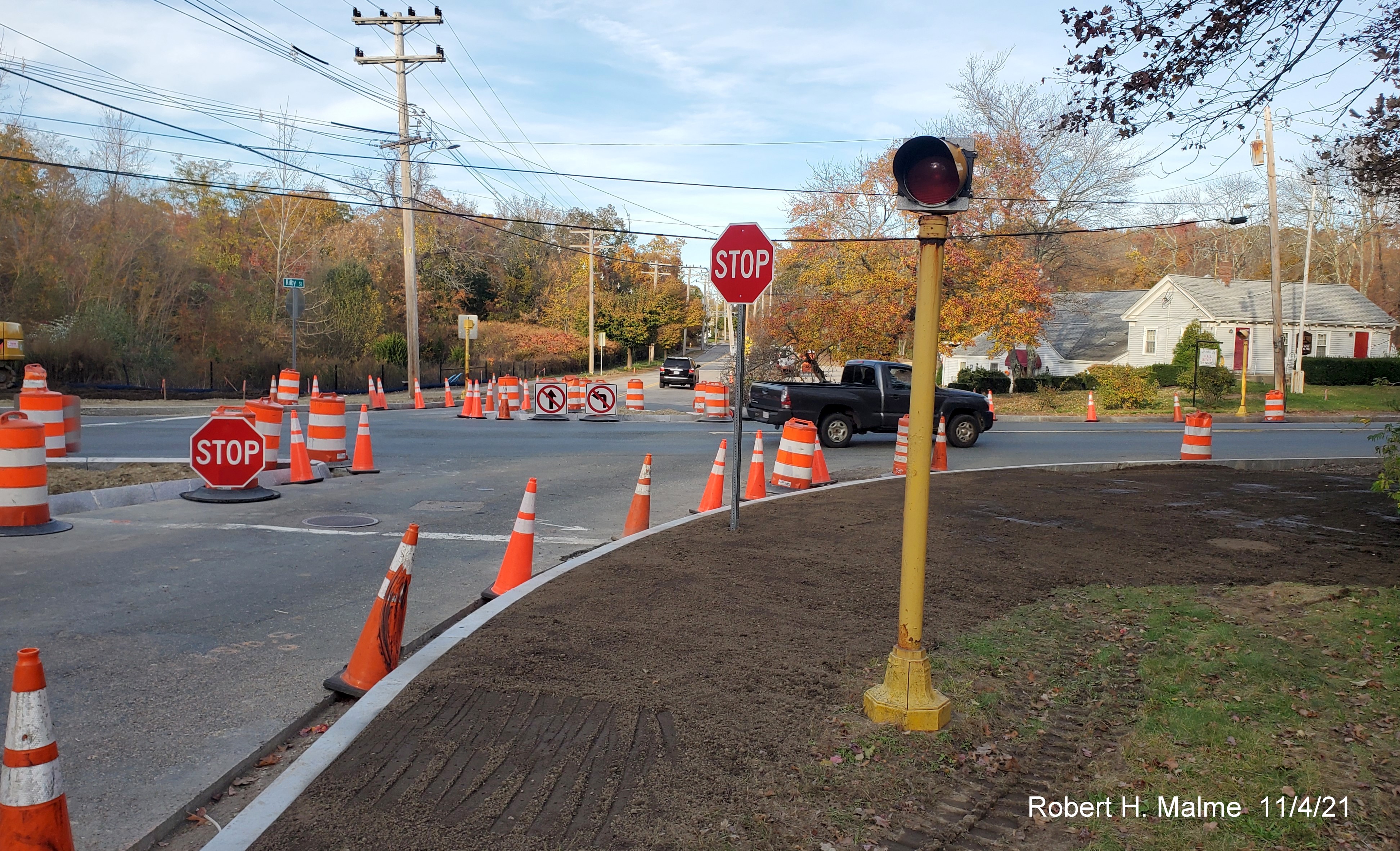
Closer look at landscaped corner of Kilby Street and Route 3A and
temporary No Turn signs on new traffic island, being ignored by many vehicles, including SUV seen heading up Kilby.
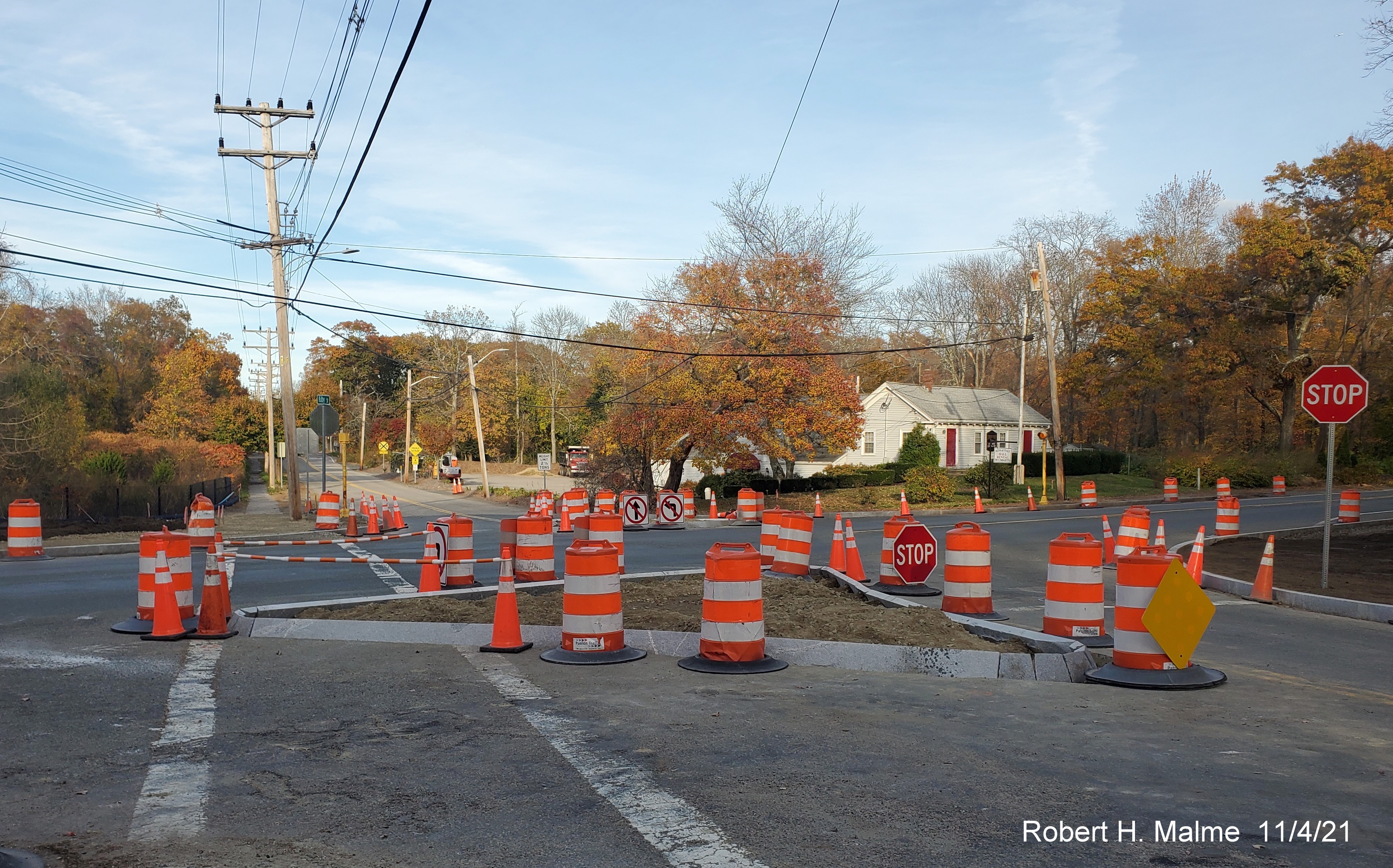
A closer look at new traffic island at the intersection of Route 3A
South and Kilby Street.
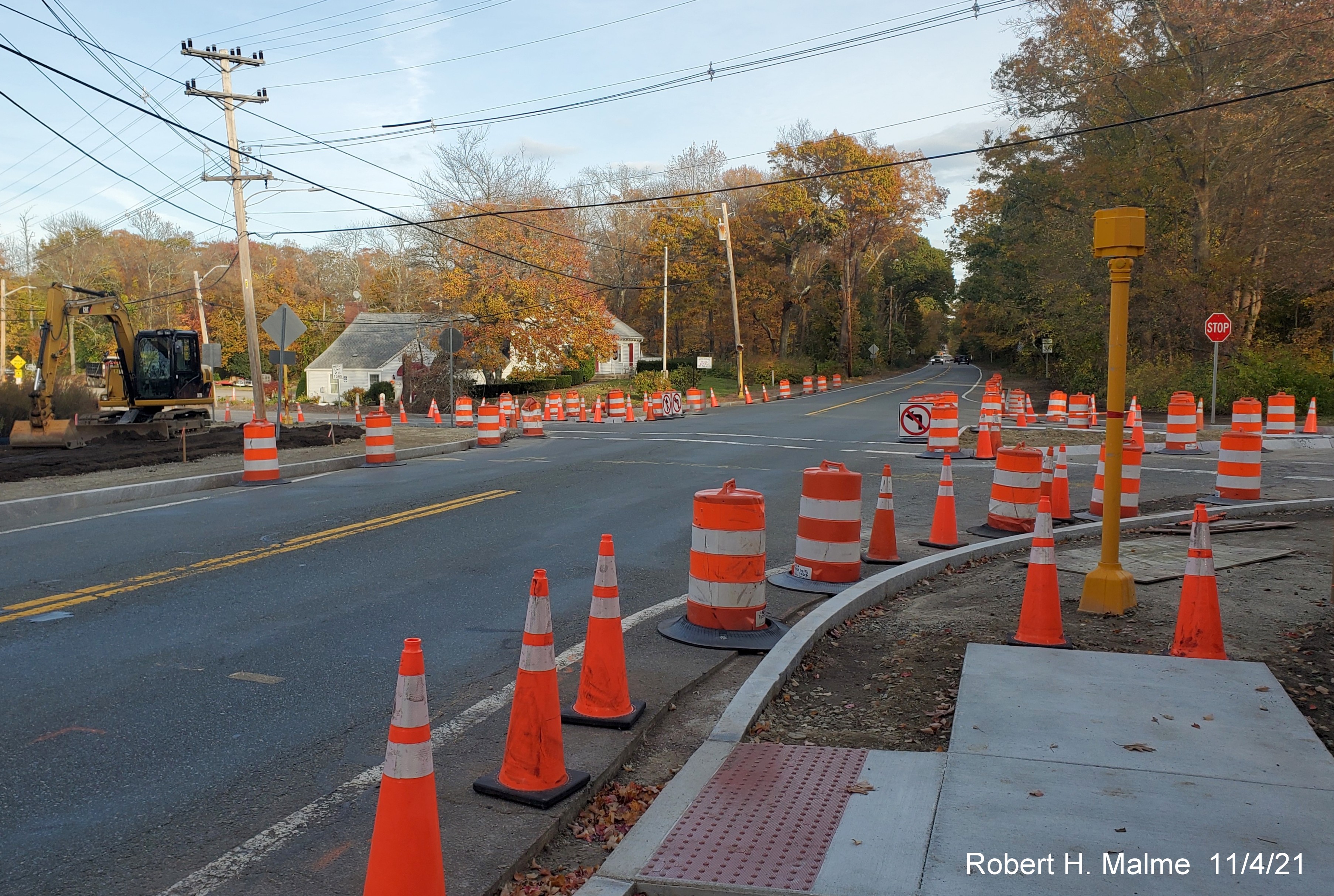
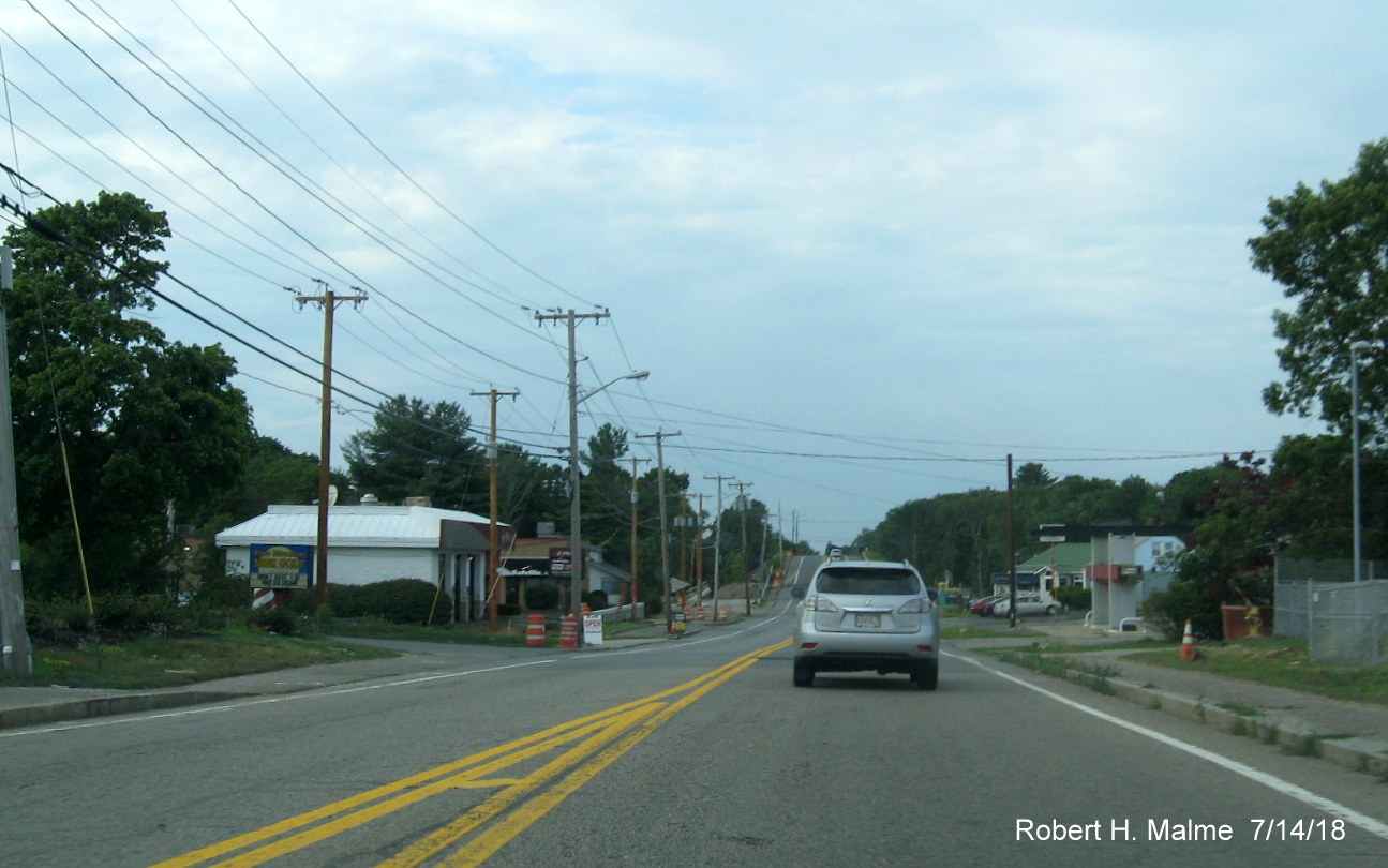
Looking along
Route 3A headed south on Kilby Street showing sidewalk construction for new crosswalk, also temporary No Left Turn sign.
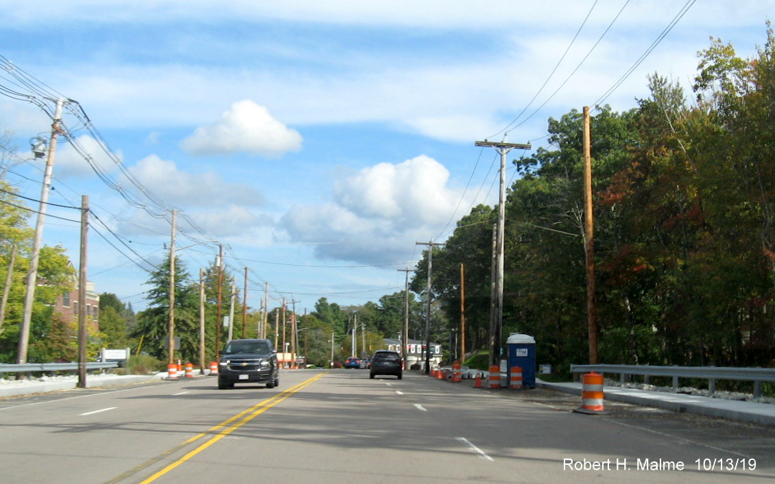
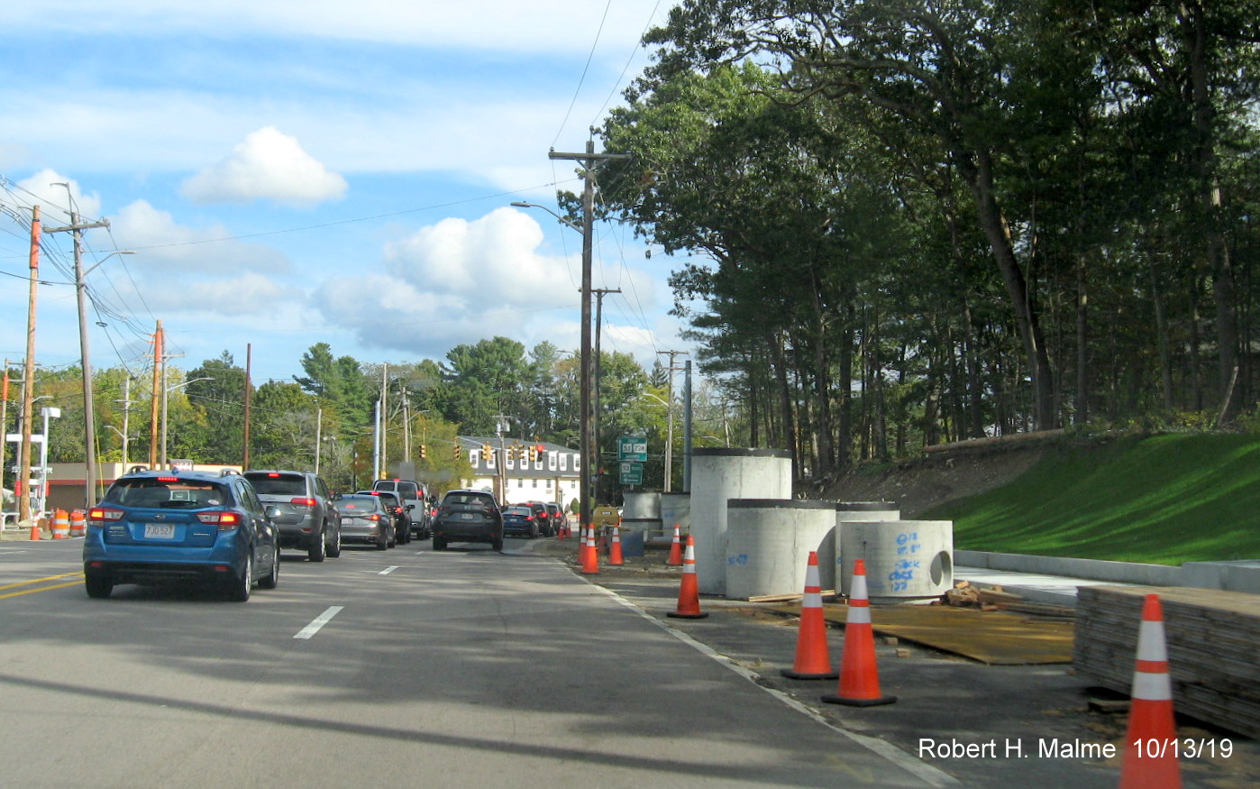
Earlier Photos - Taken October 11, 2021:
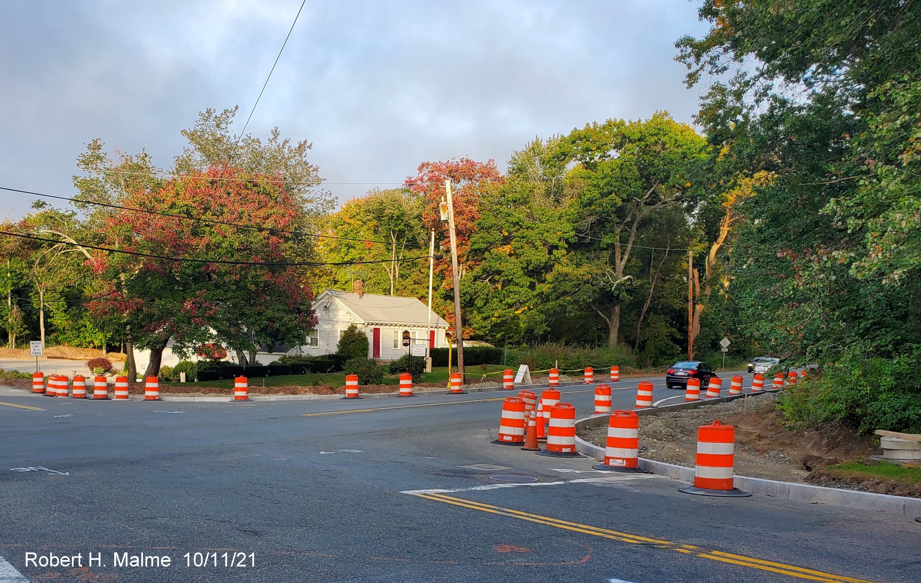
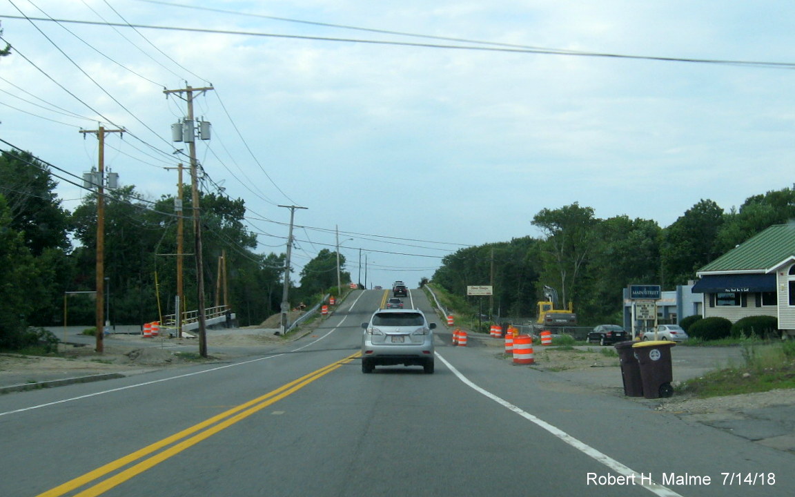
Curbing has been
placed around reconstructed corners of Kilby Street's intersection with Route 3A South.
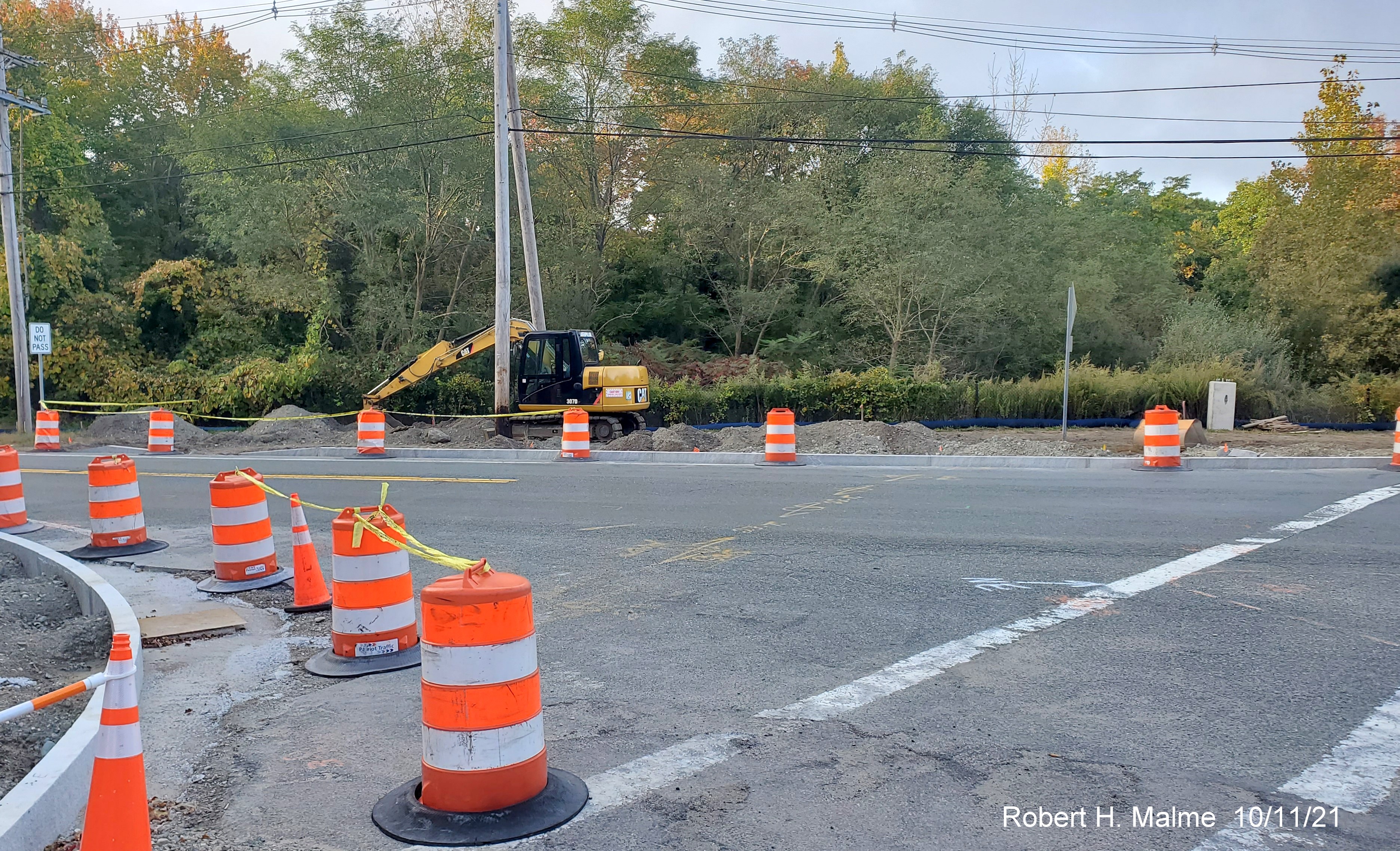
Curbing being
placed along Route 3A North as well and grading being done for the new sidewalk.
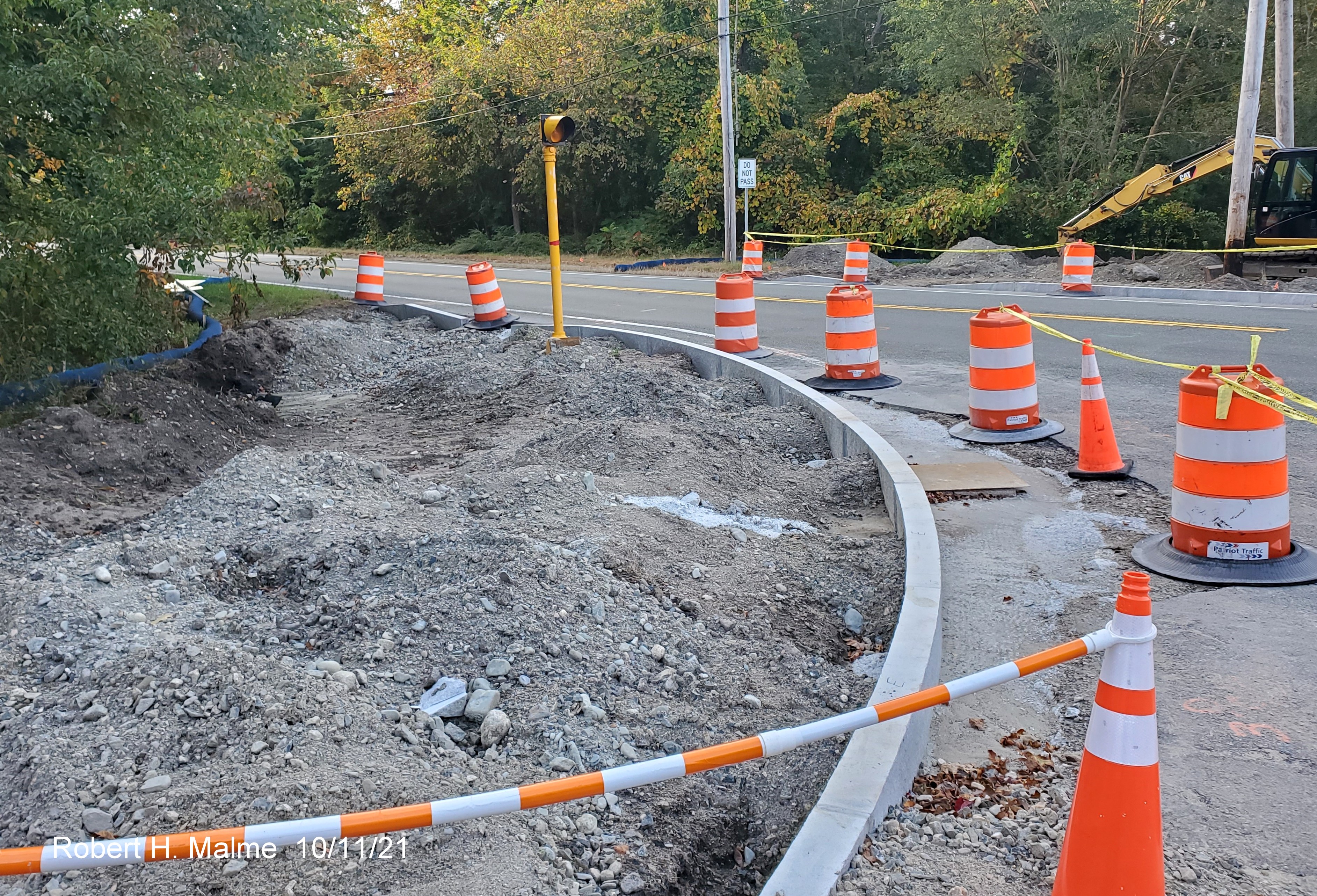
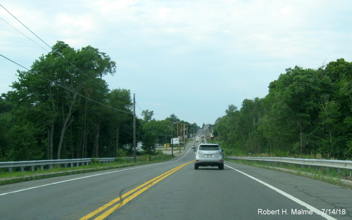
Site of future sidewalk to new crosswalk to the north of Kilby
Street.
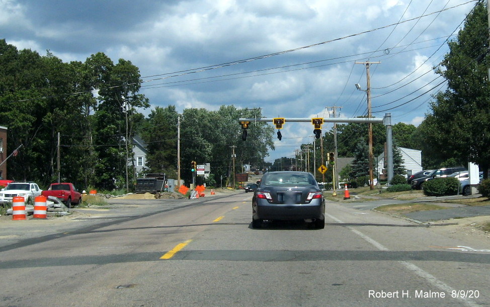
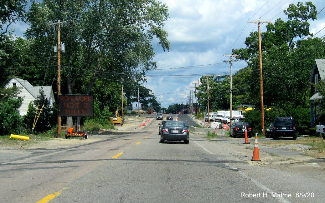
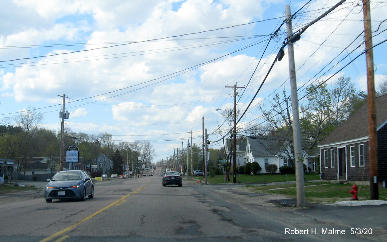
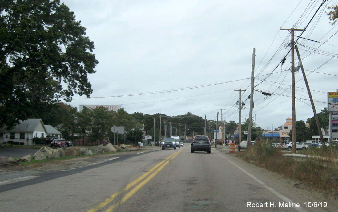
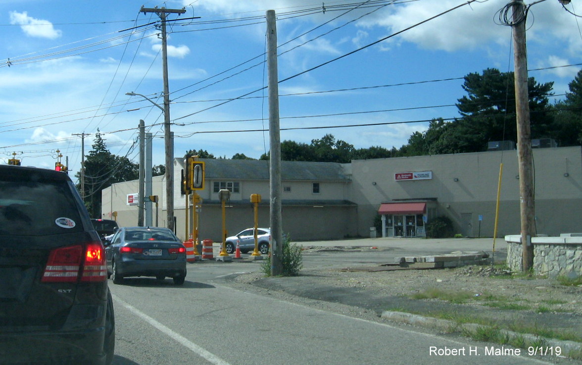
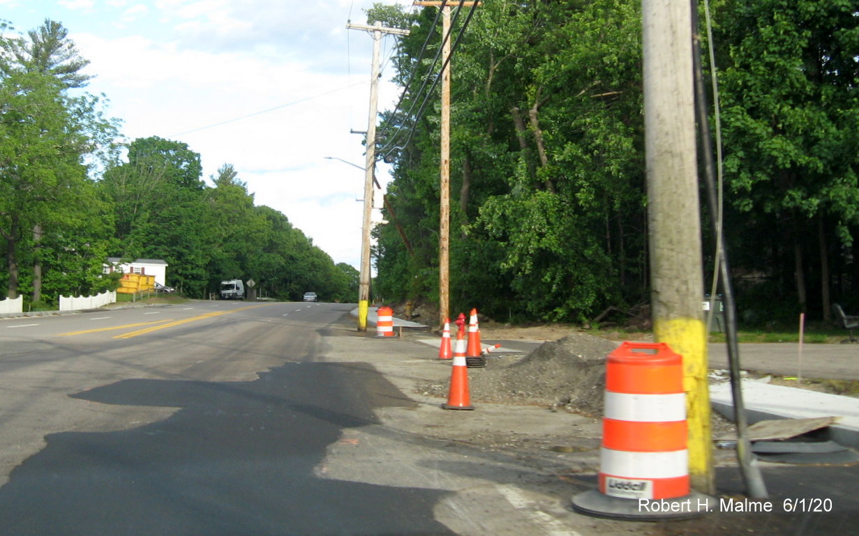
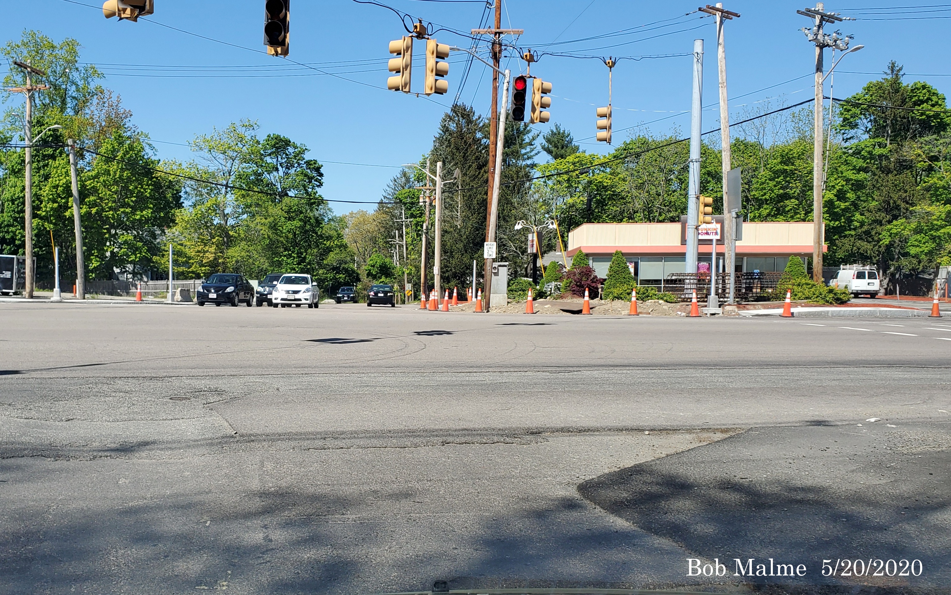
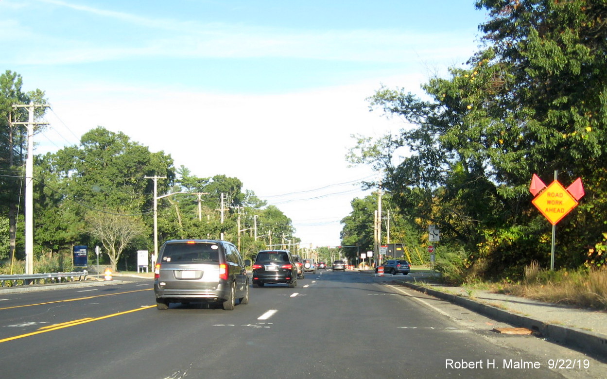
Taken on September 11/18, 2021:
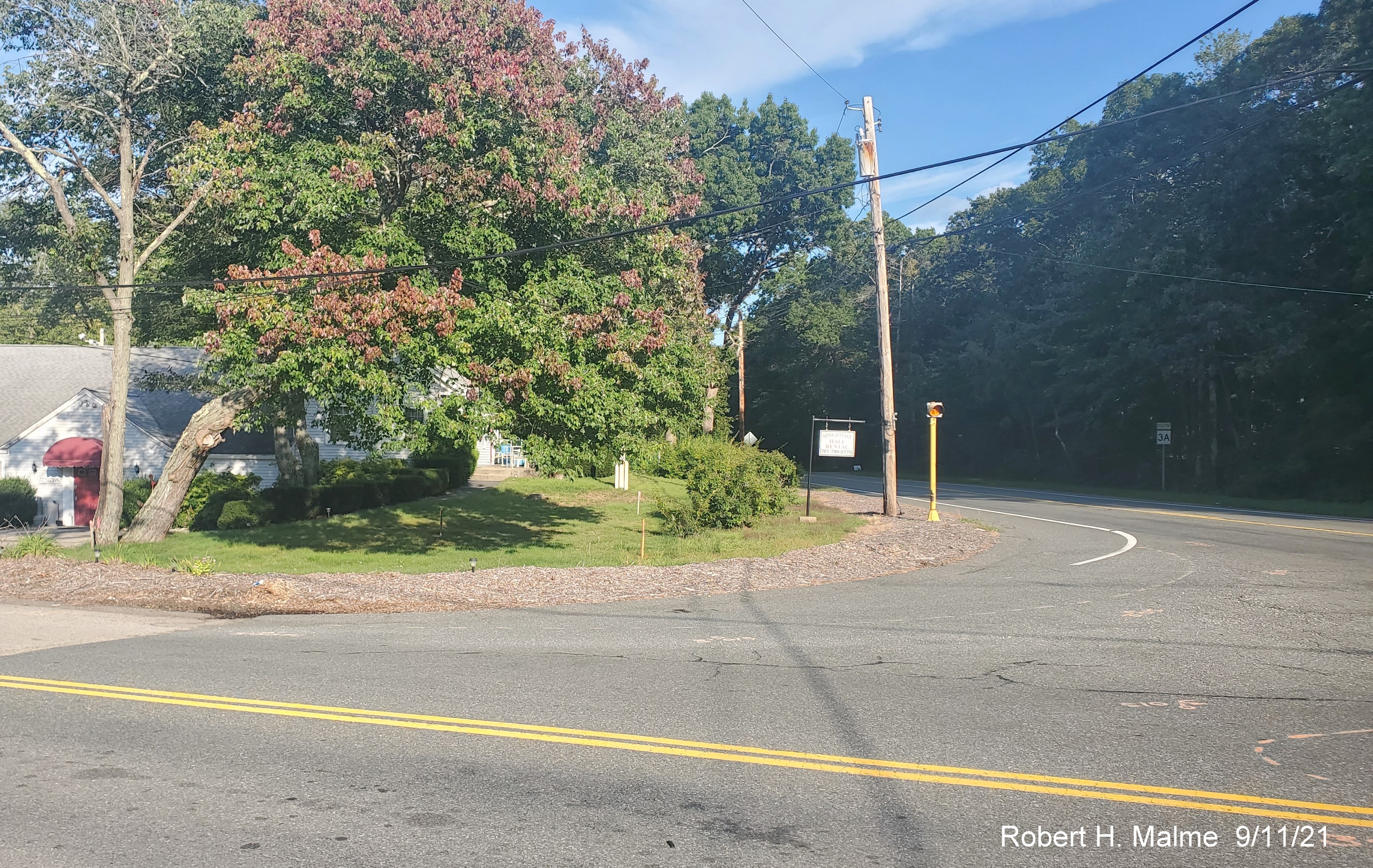
Only initial work had started on project allowing photos of what
the intersection looked like before reconstruction, here looking south across Kilby Street east of Route 3A.
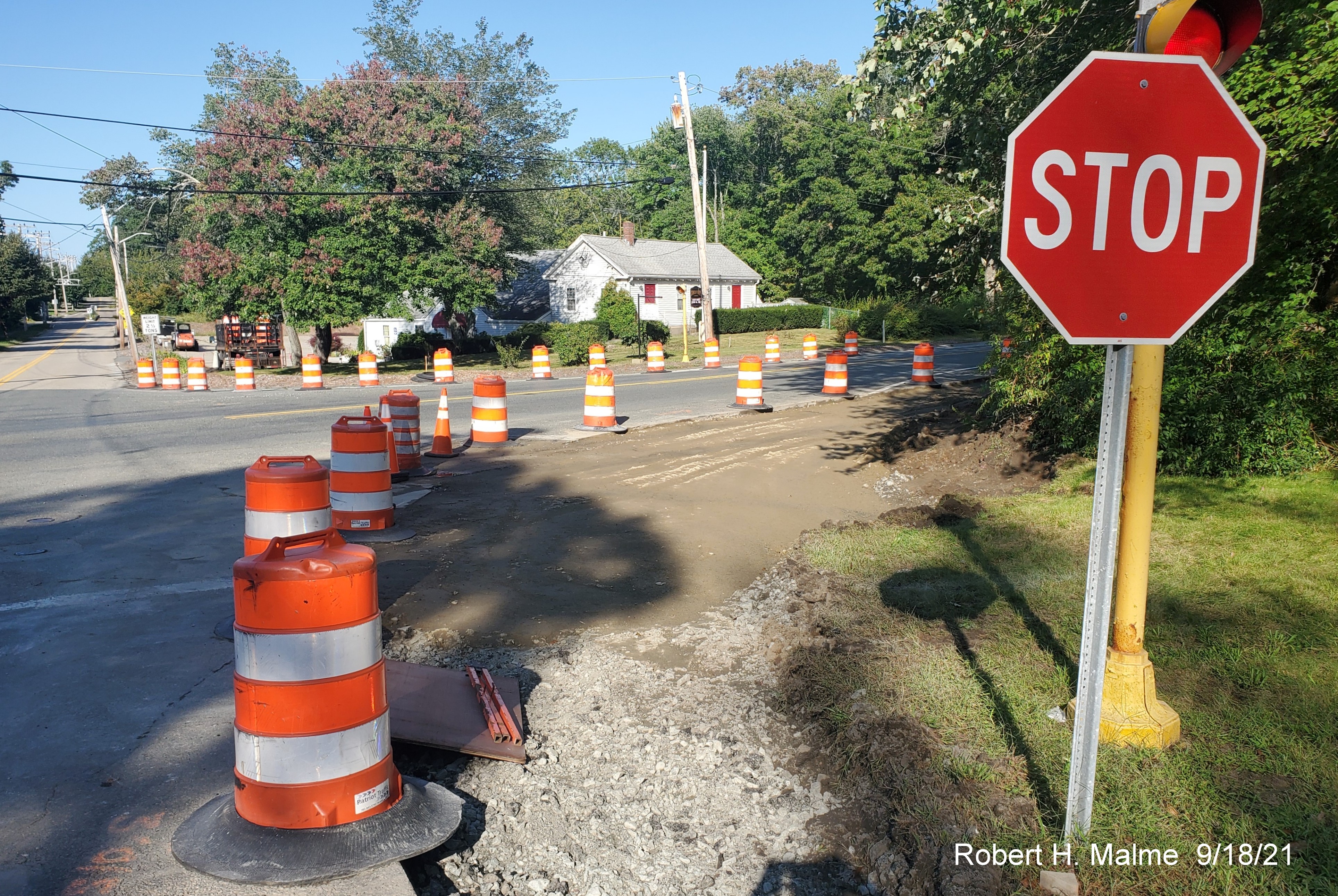
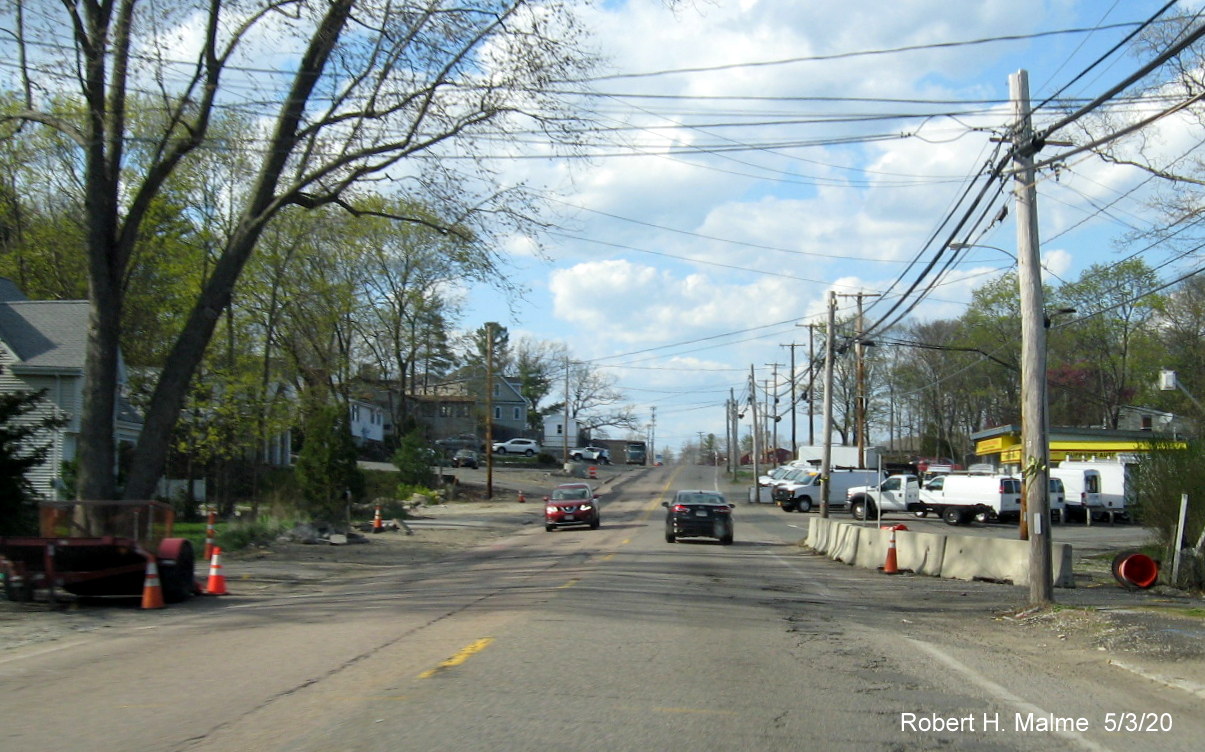
On the western side of the intersection, the start of reconstructing
the corners for right turns only.
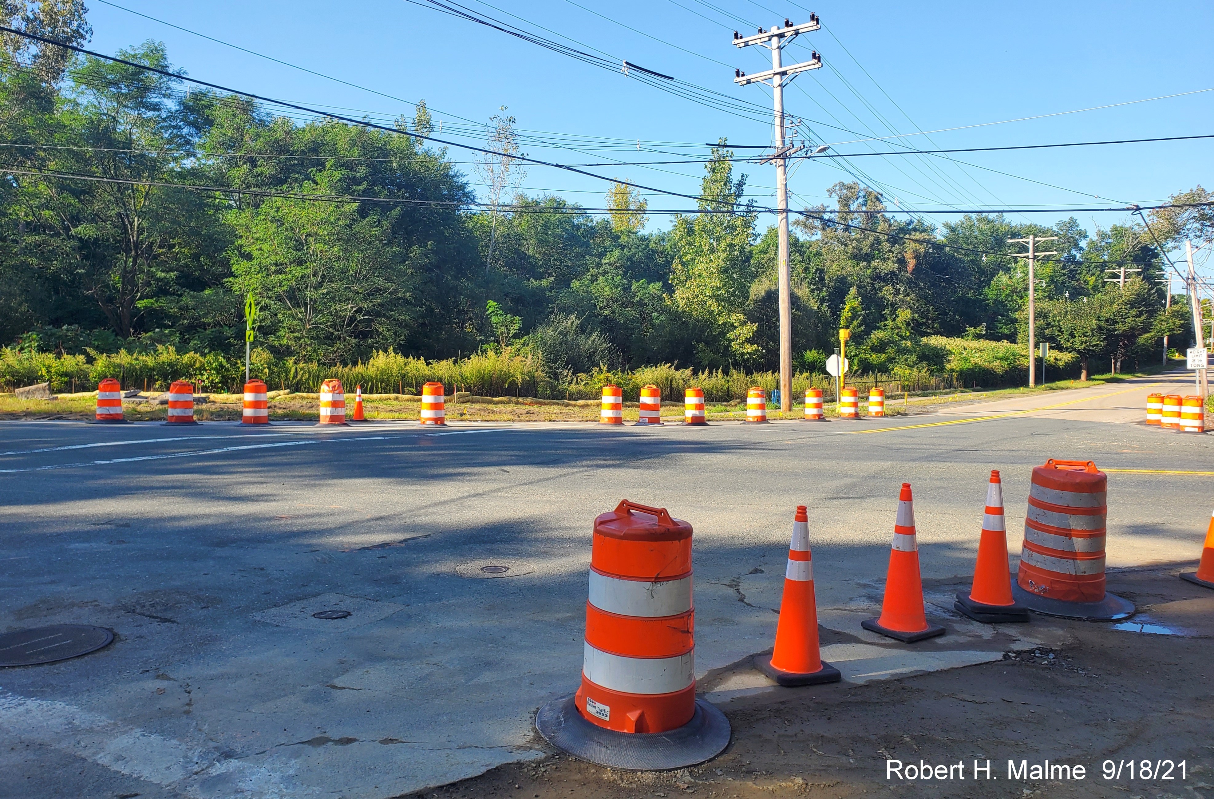
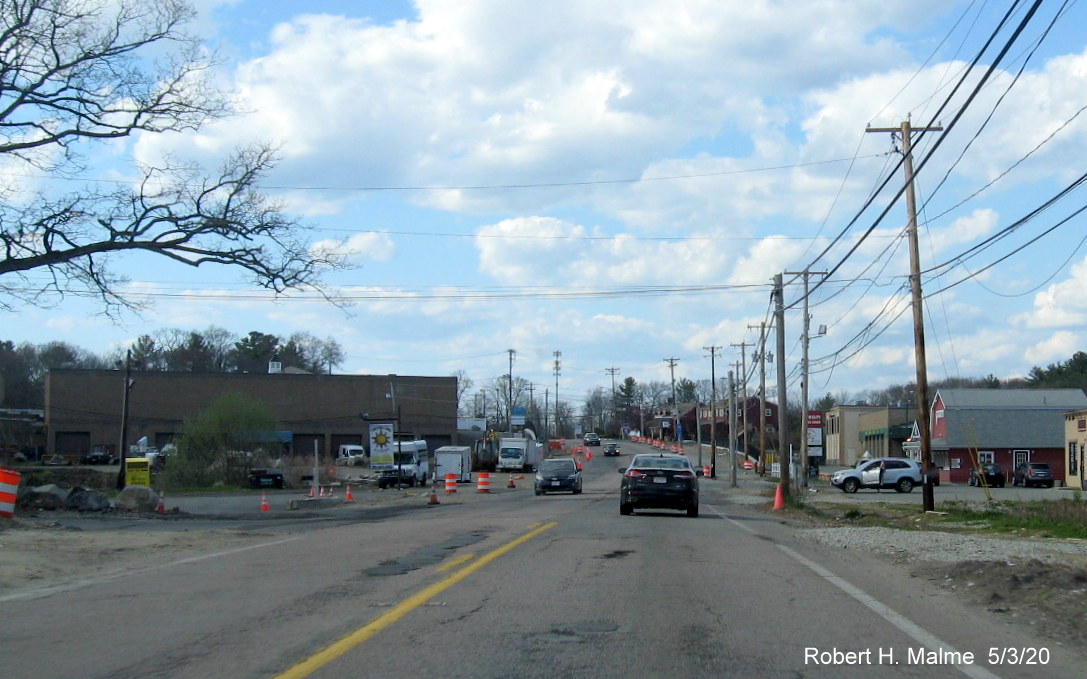
Looking east across the intersection at traffic barrels and cones in
place in the new work zone.
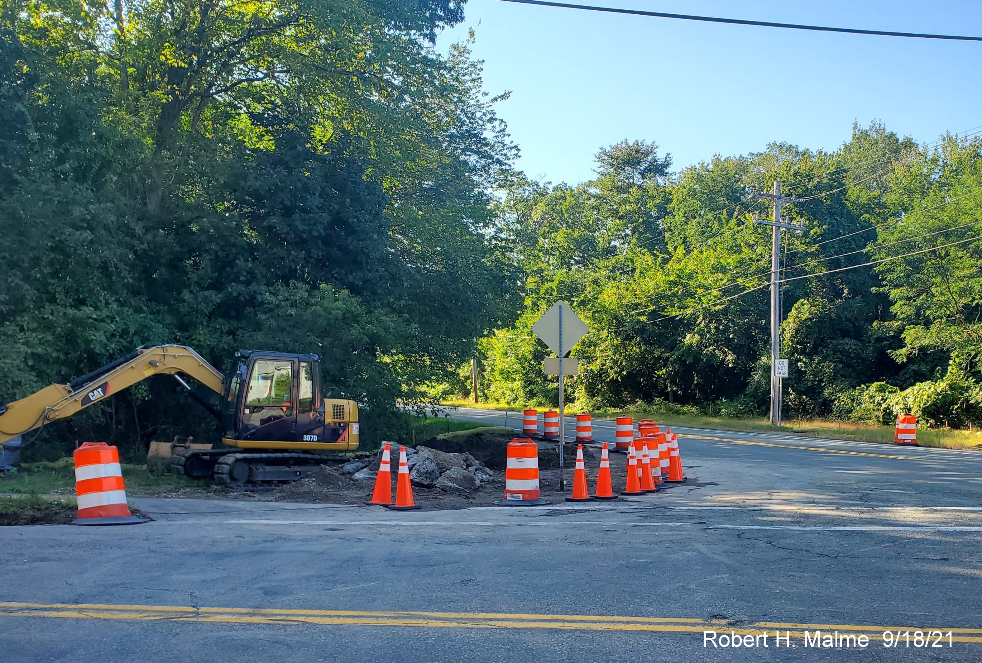
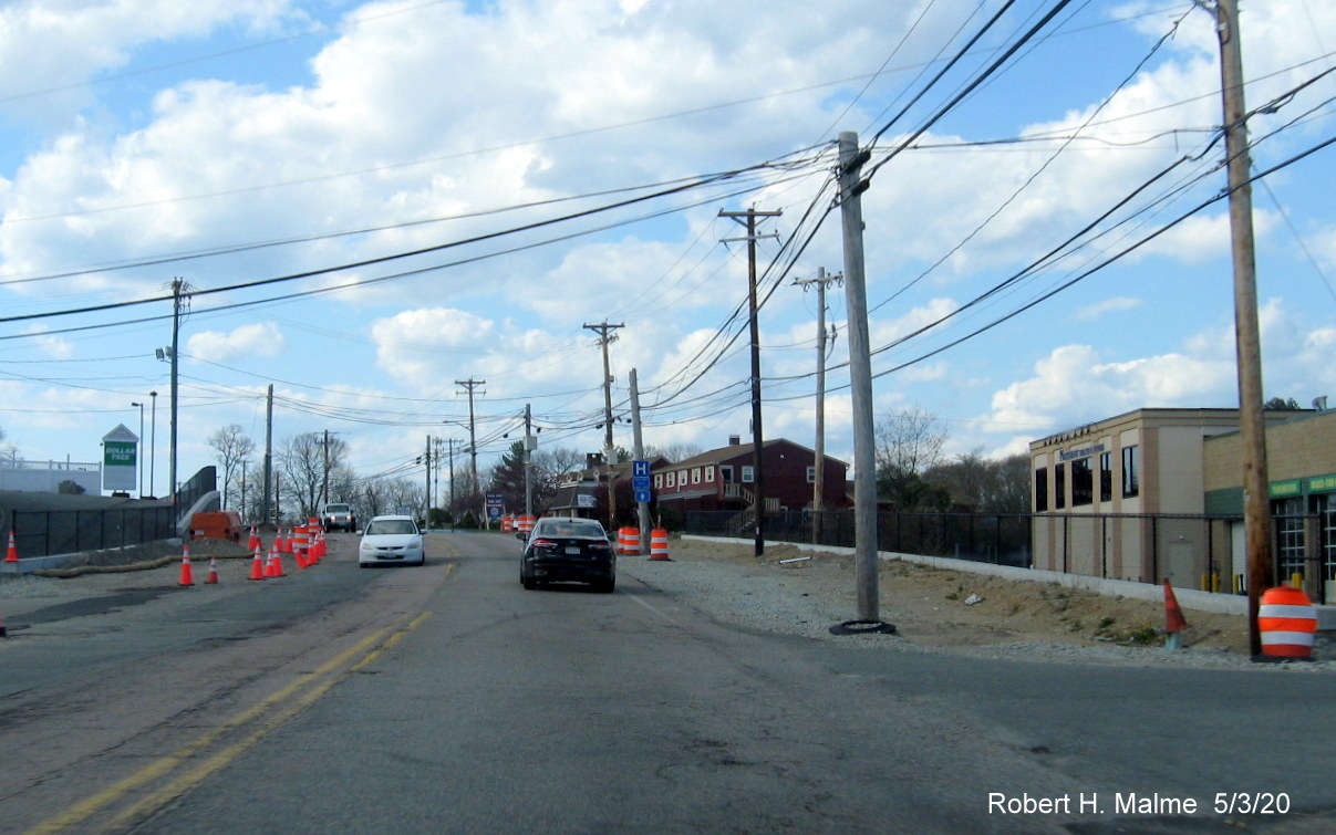
Equipment stored at the northwestern side of the intersection, for
construction of future sidewalk and new crosswalk.
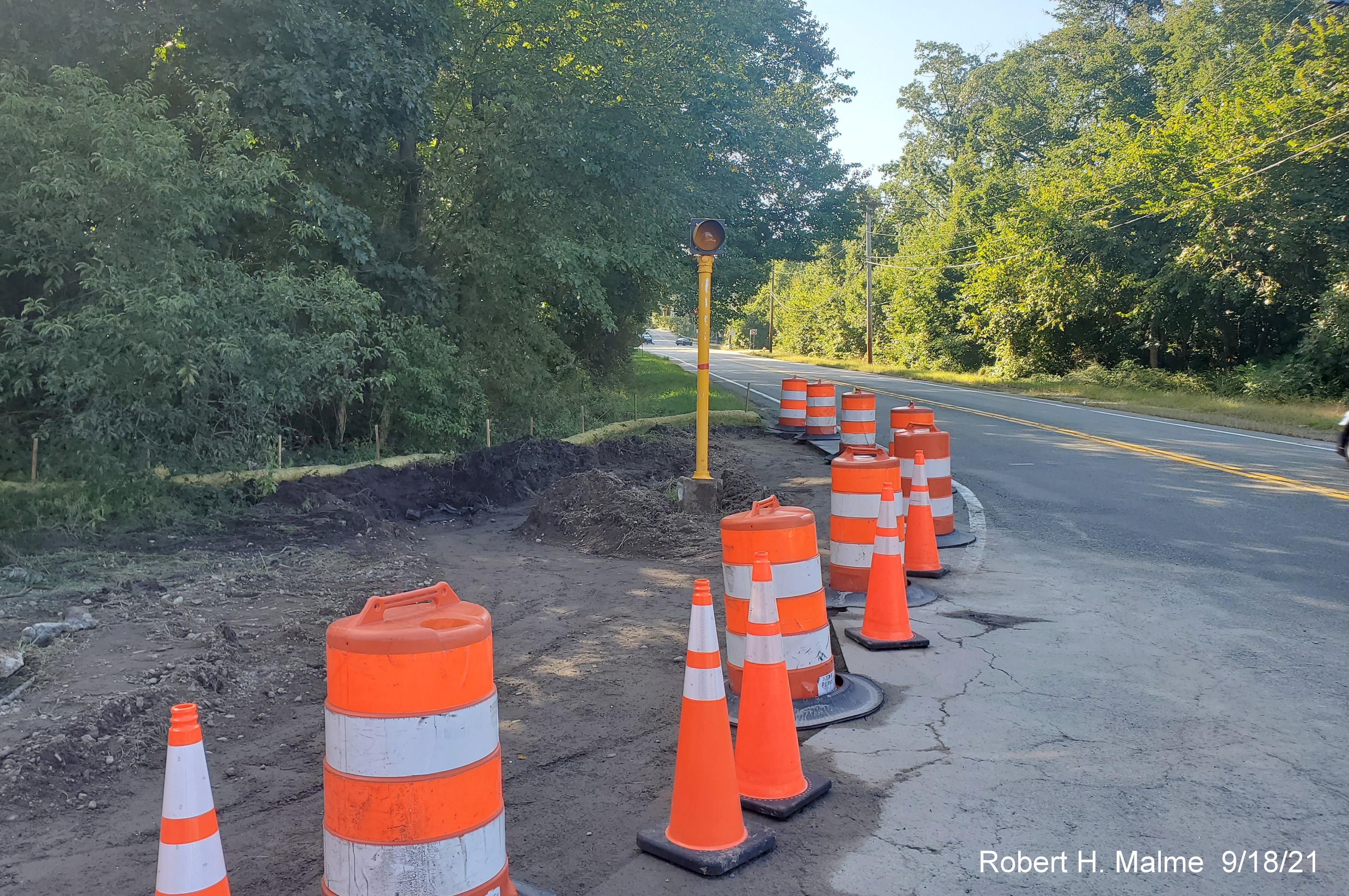
A closer look at dug out northwest corner with old flashing yellow
signal still remaining in the work zone.
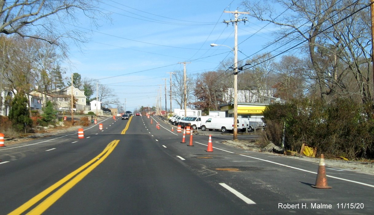
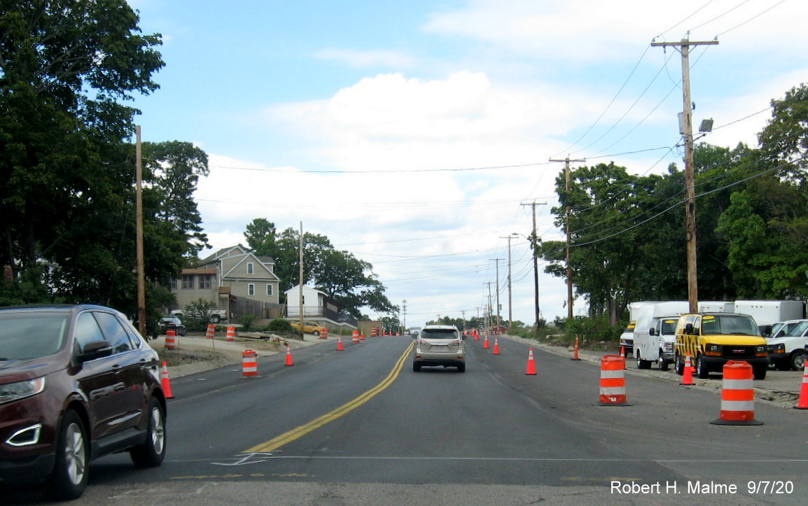
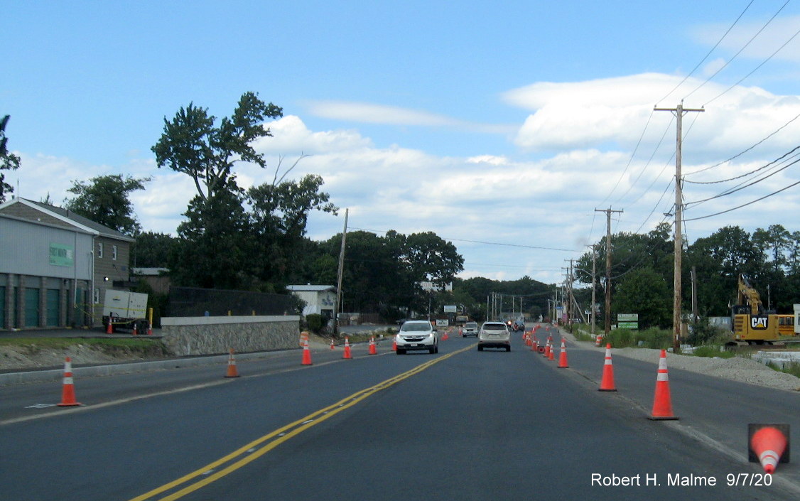
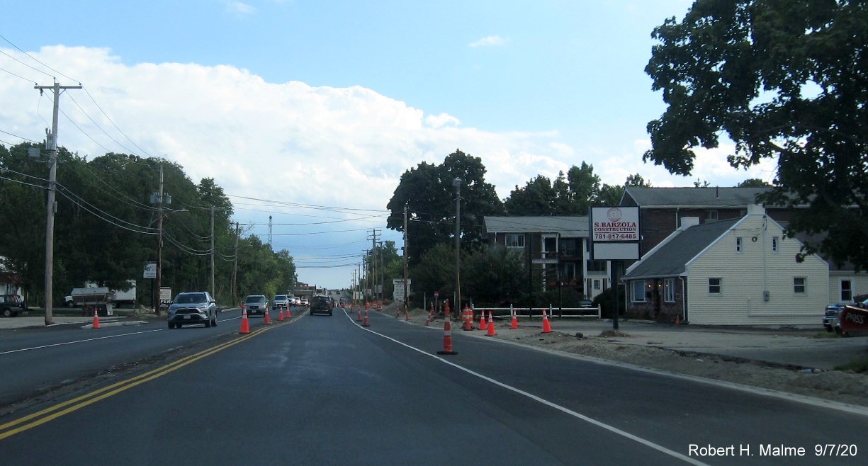
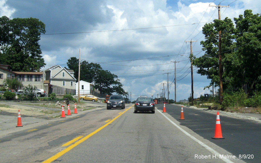
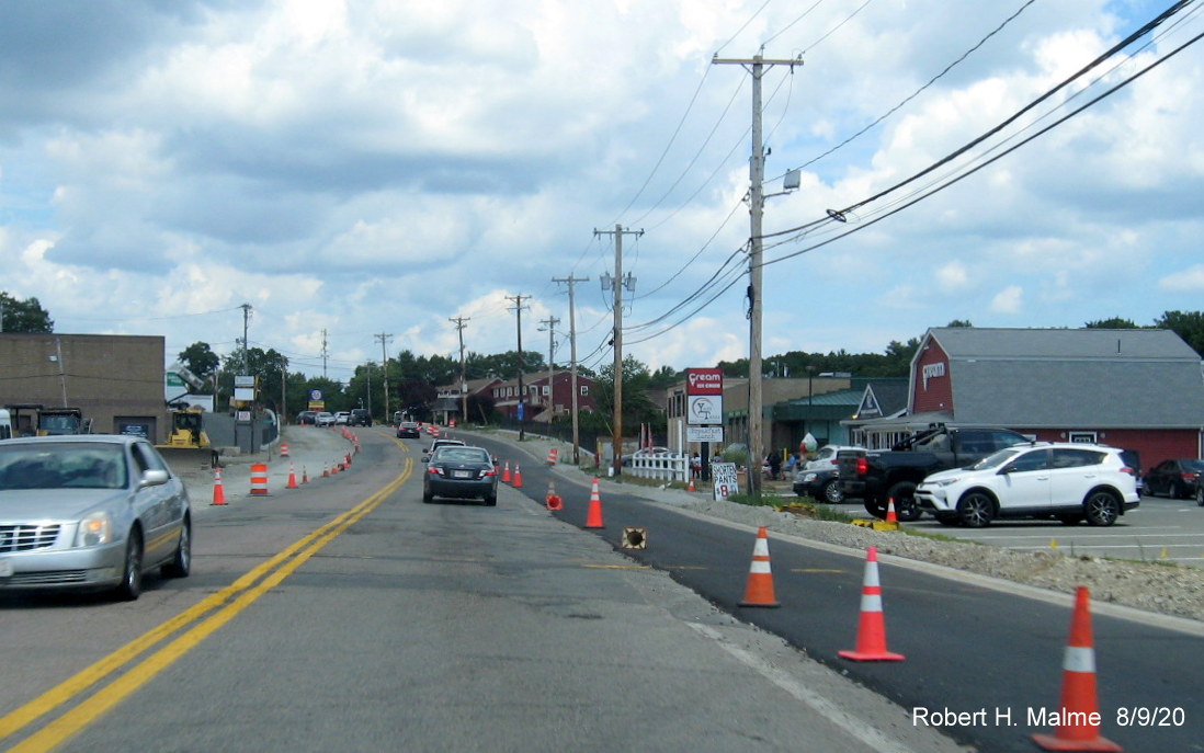
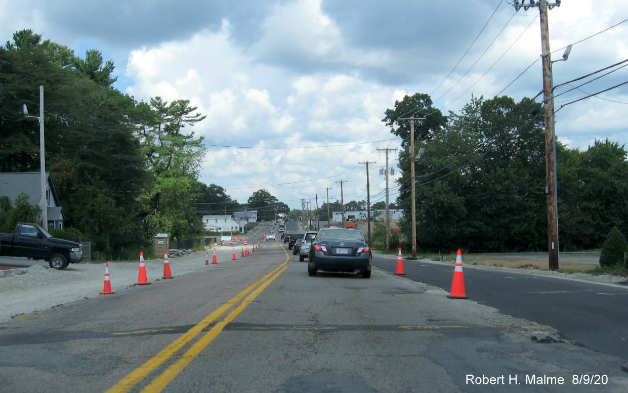
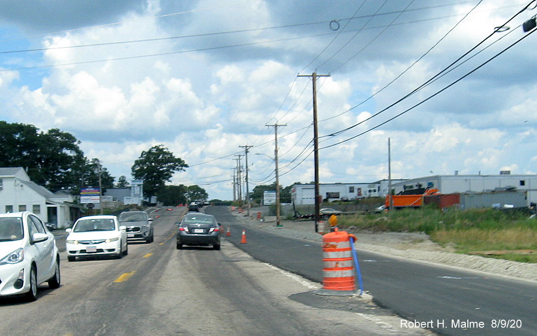
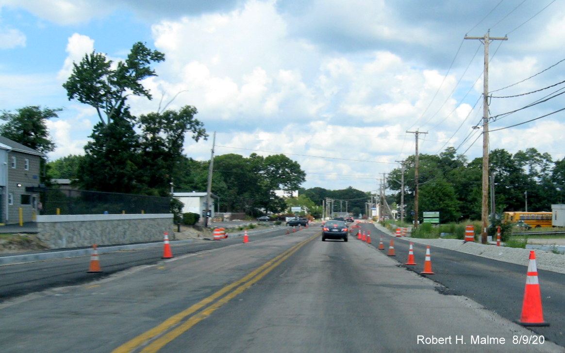
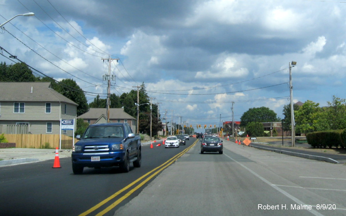
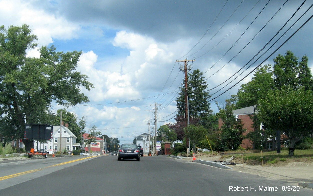
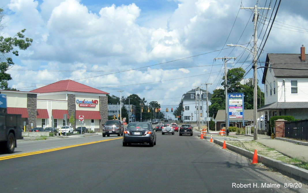
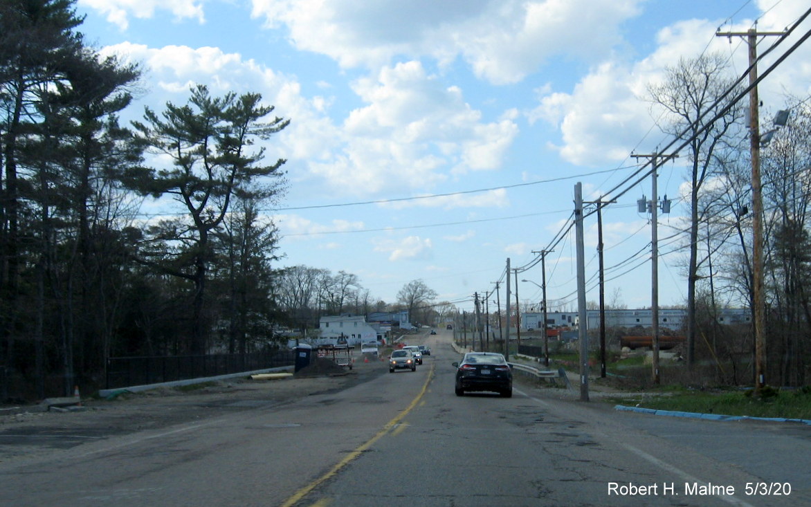
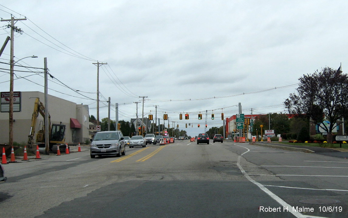
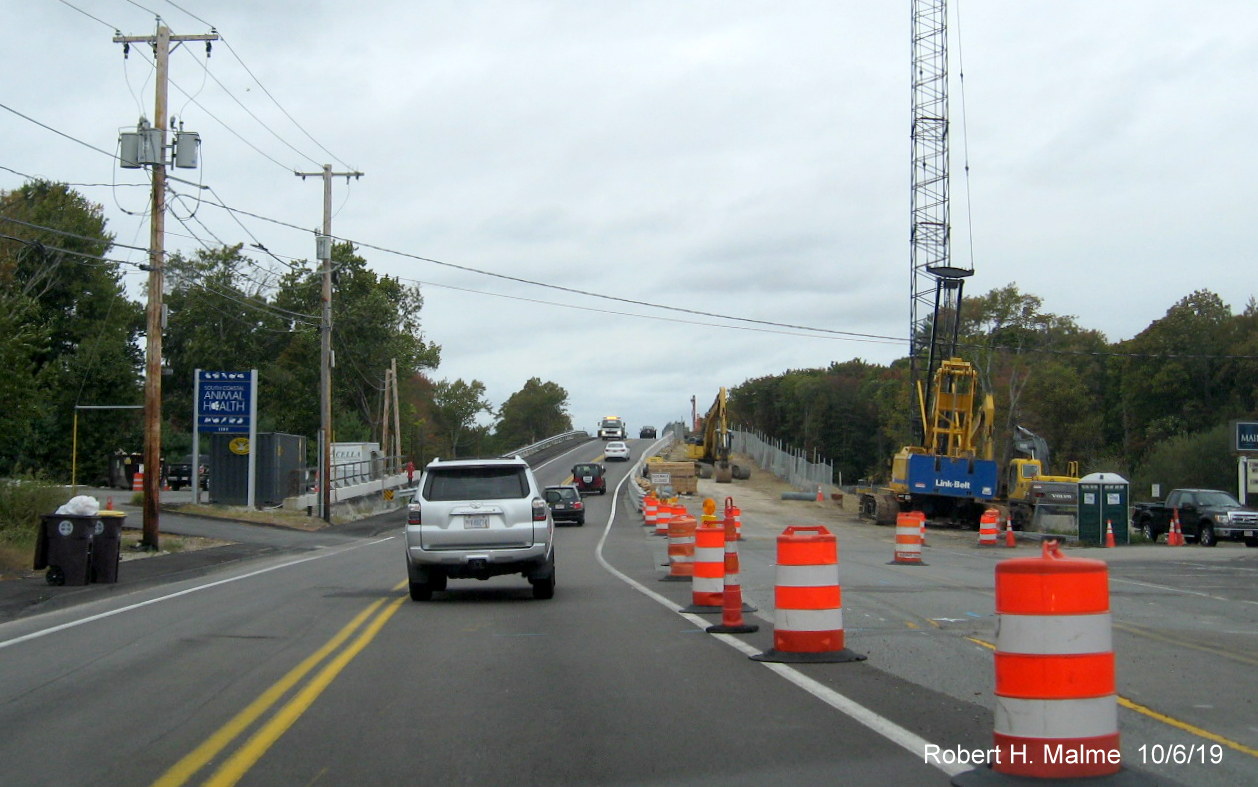
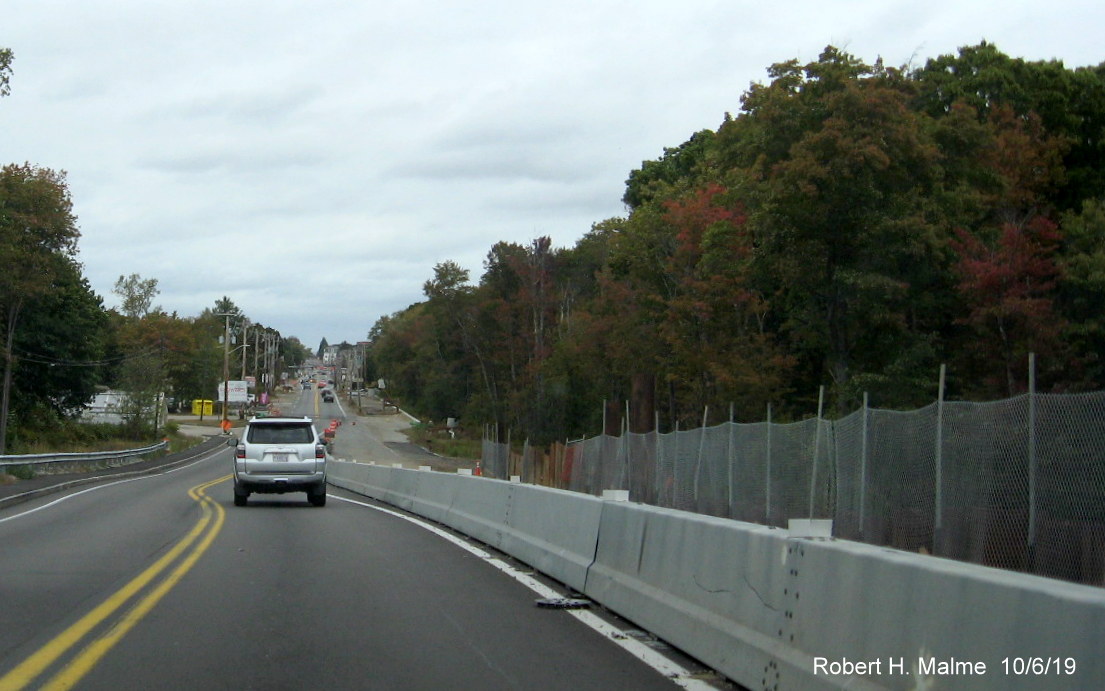
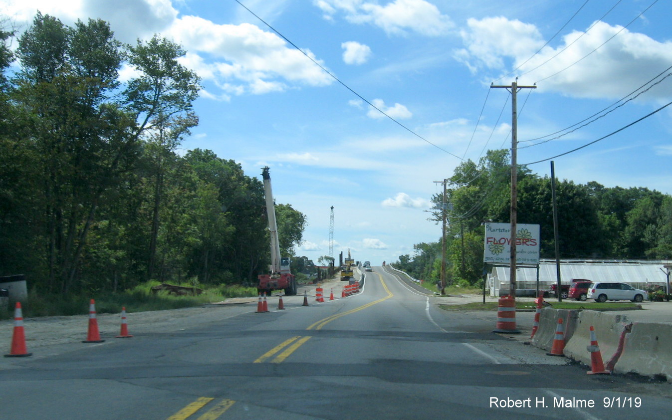
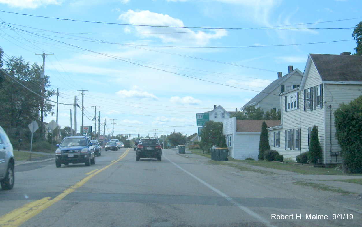
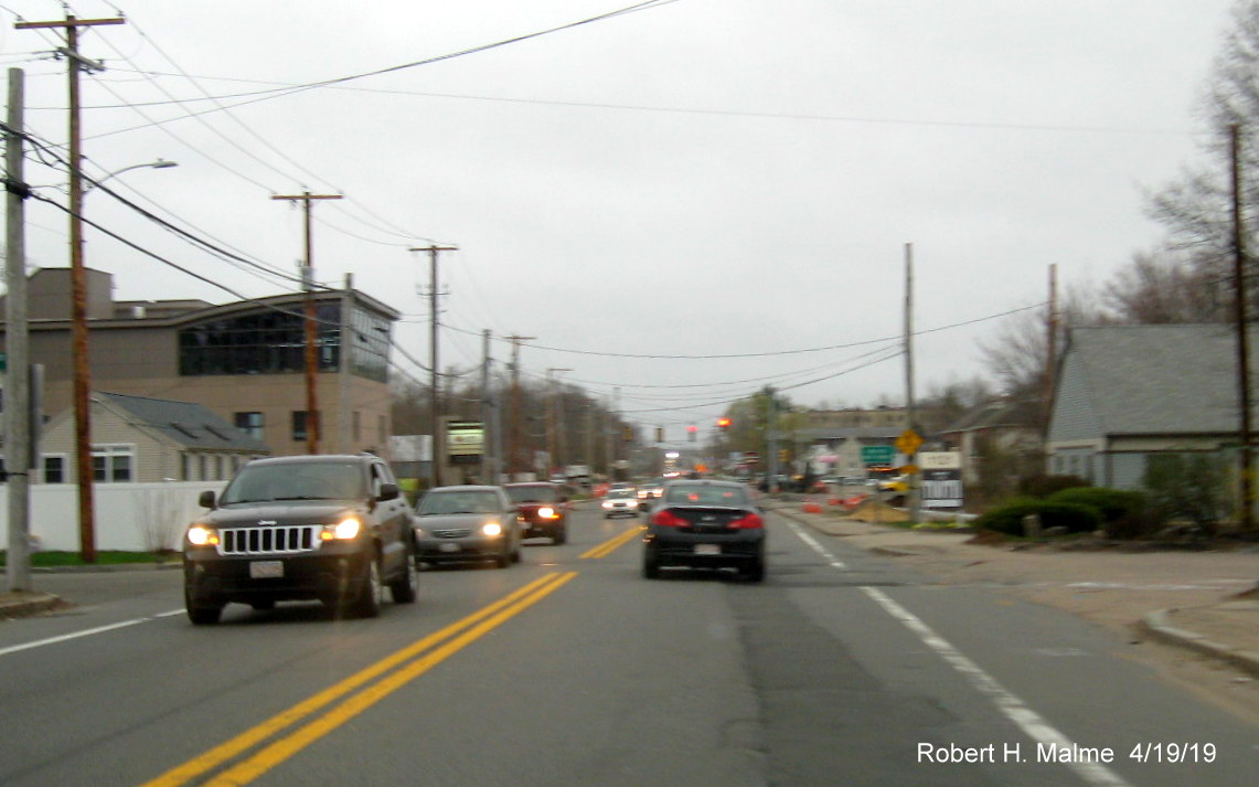
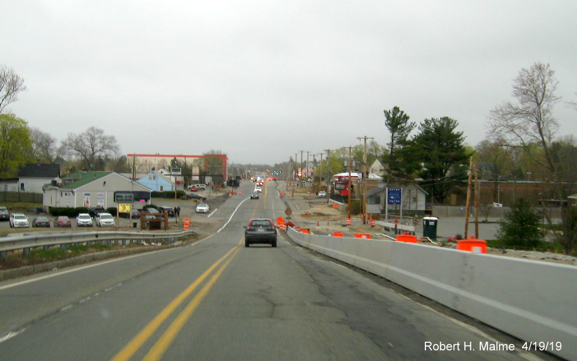
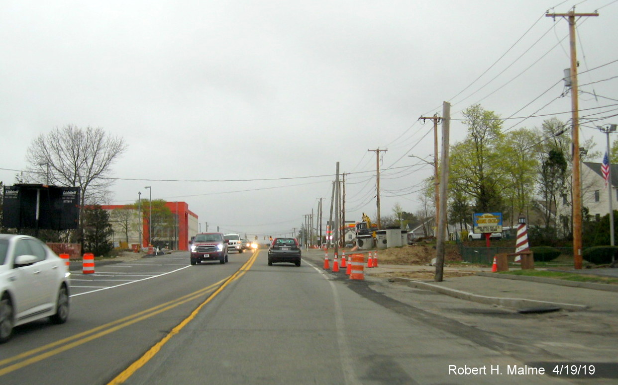
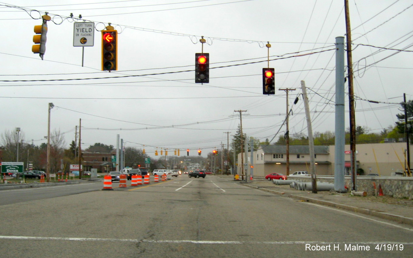
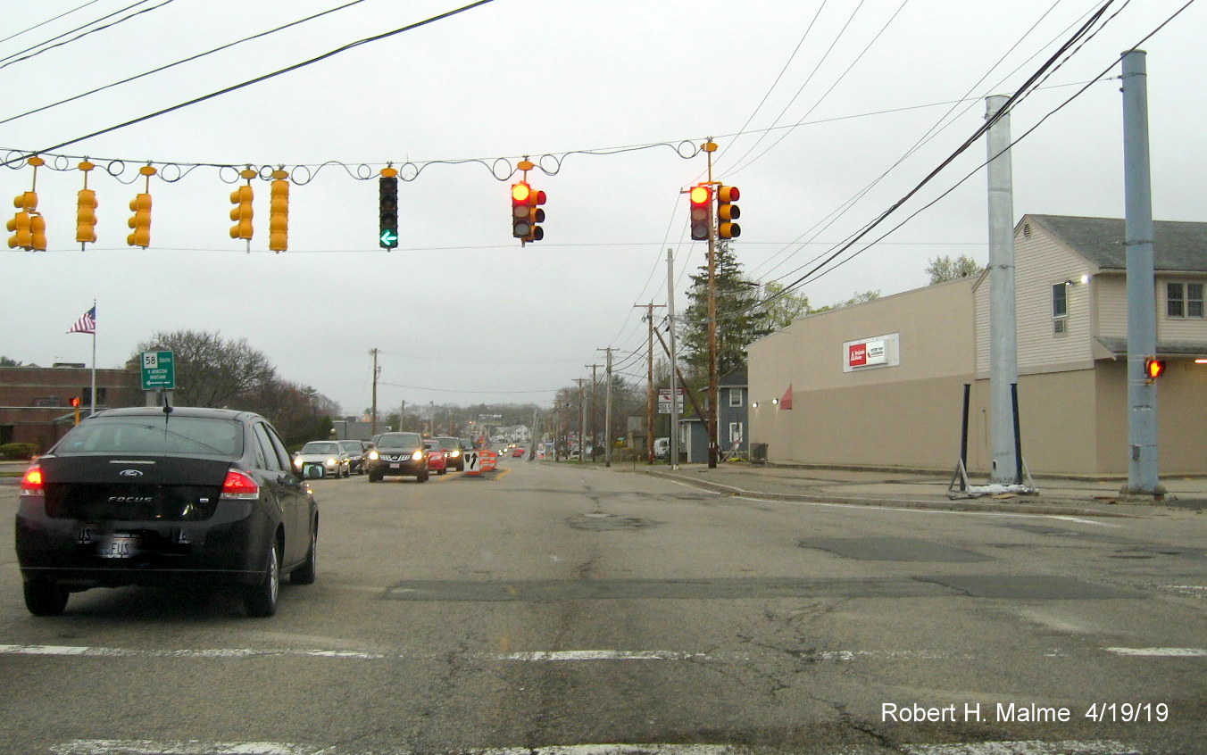
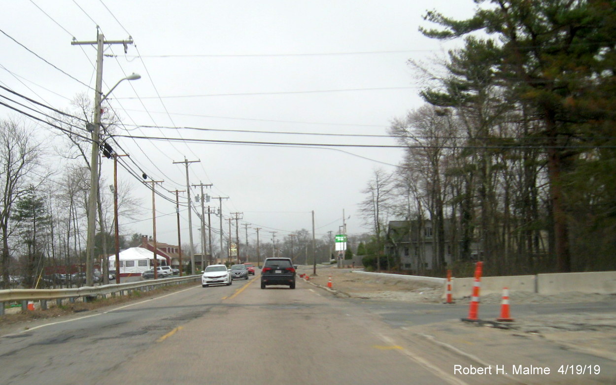
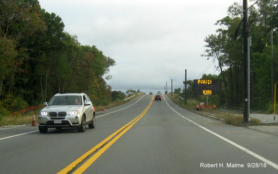
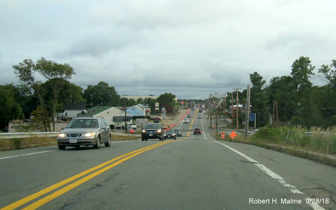
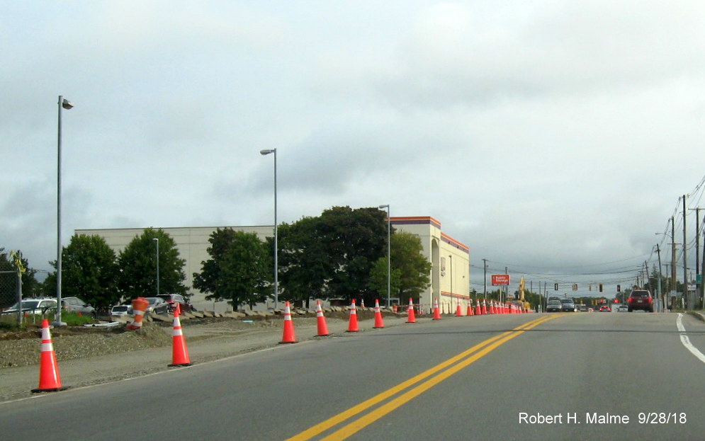
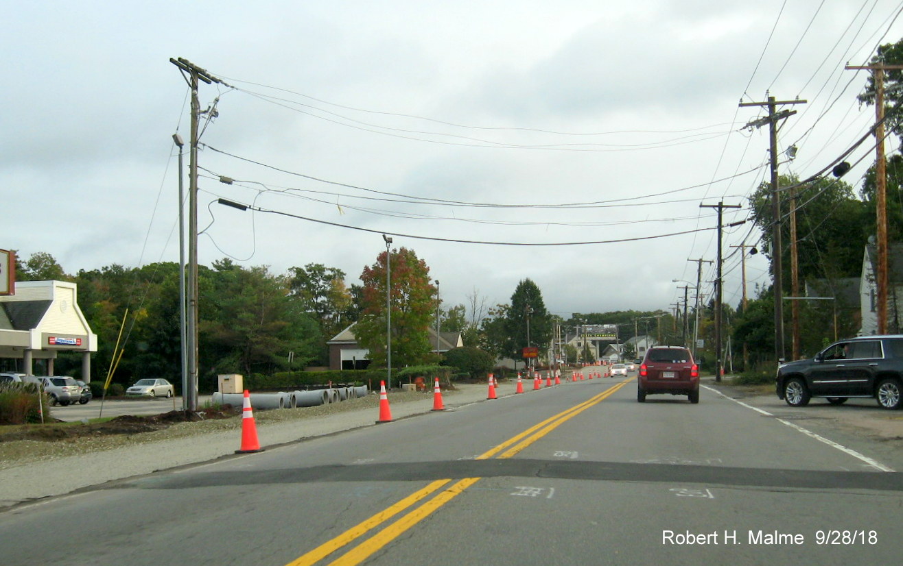
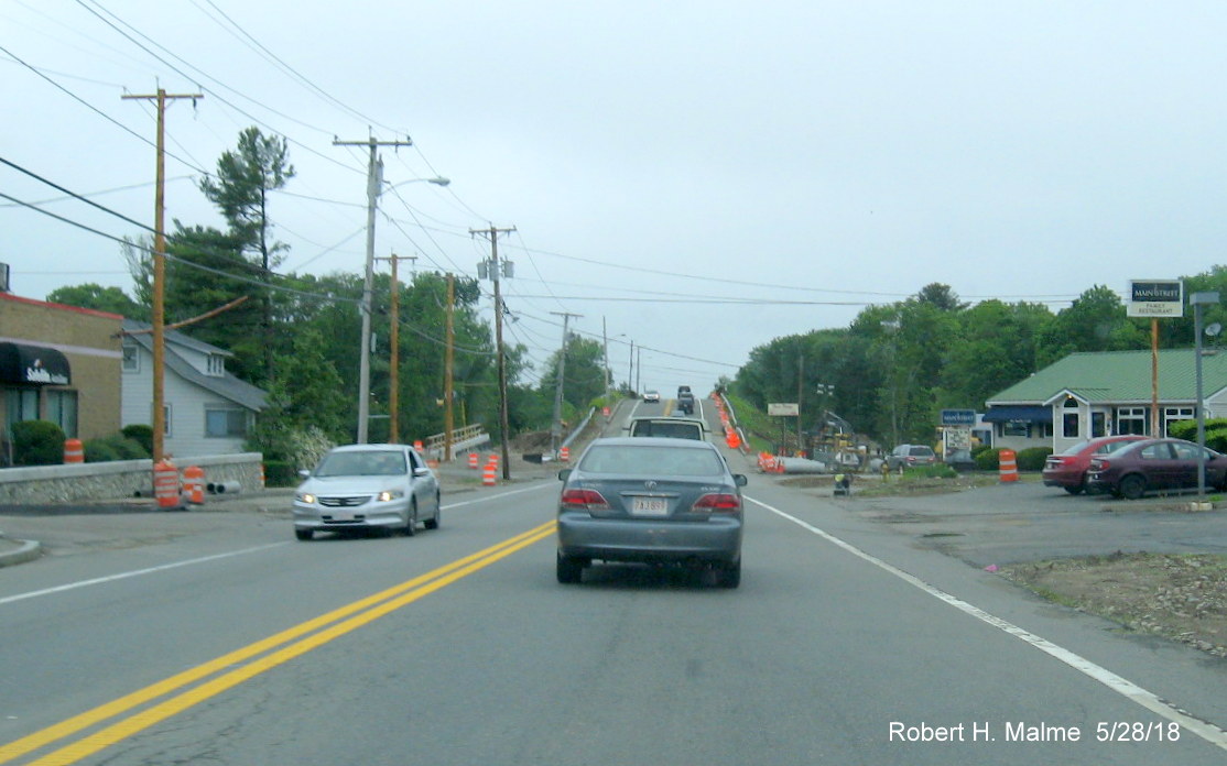
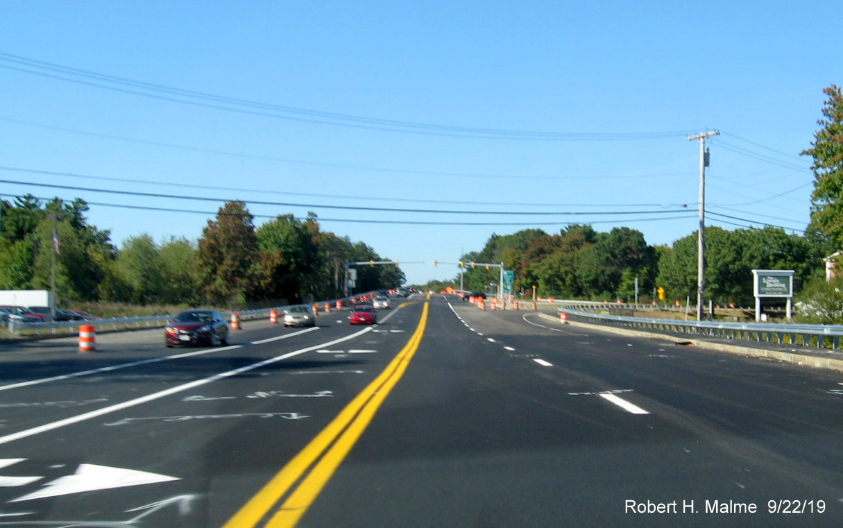
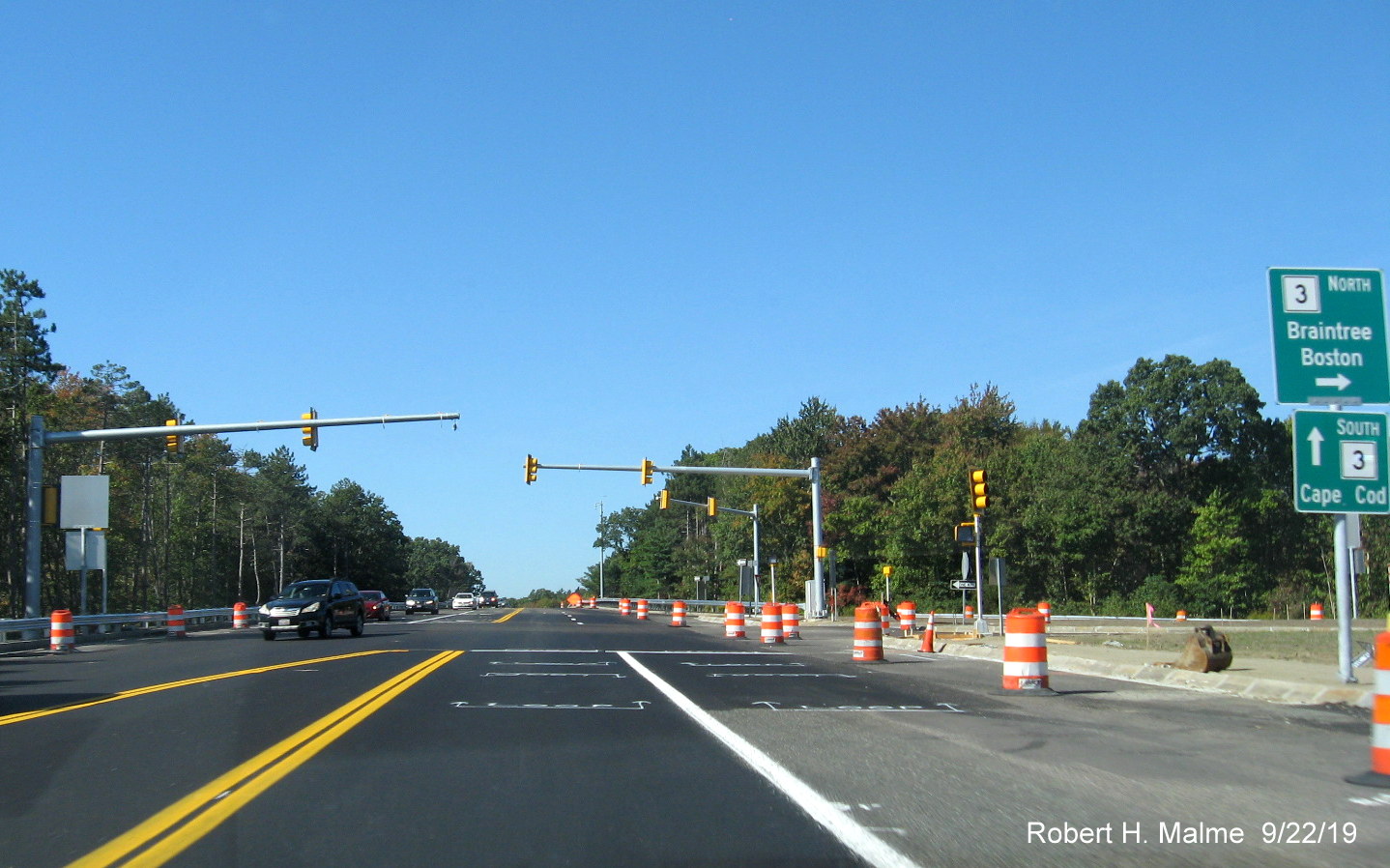
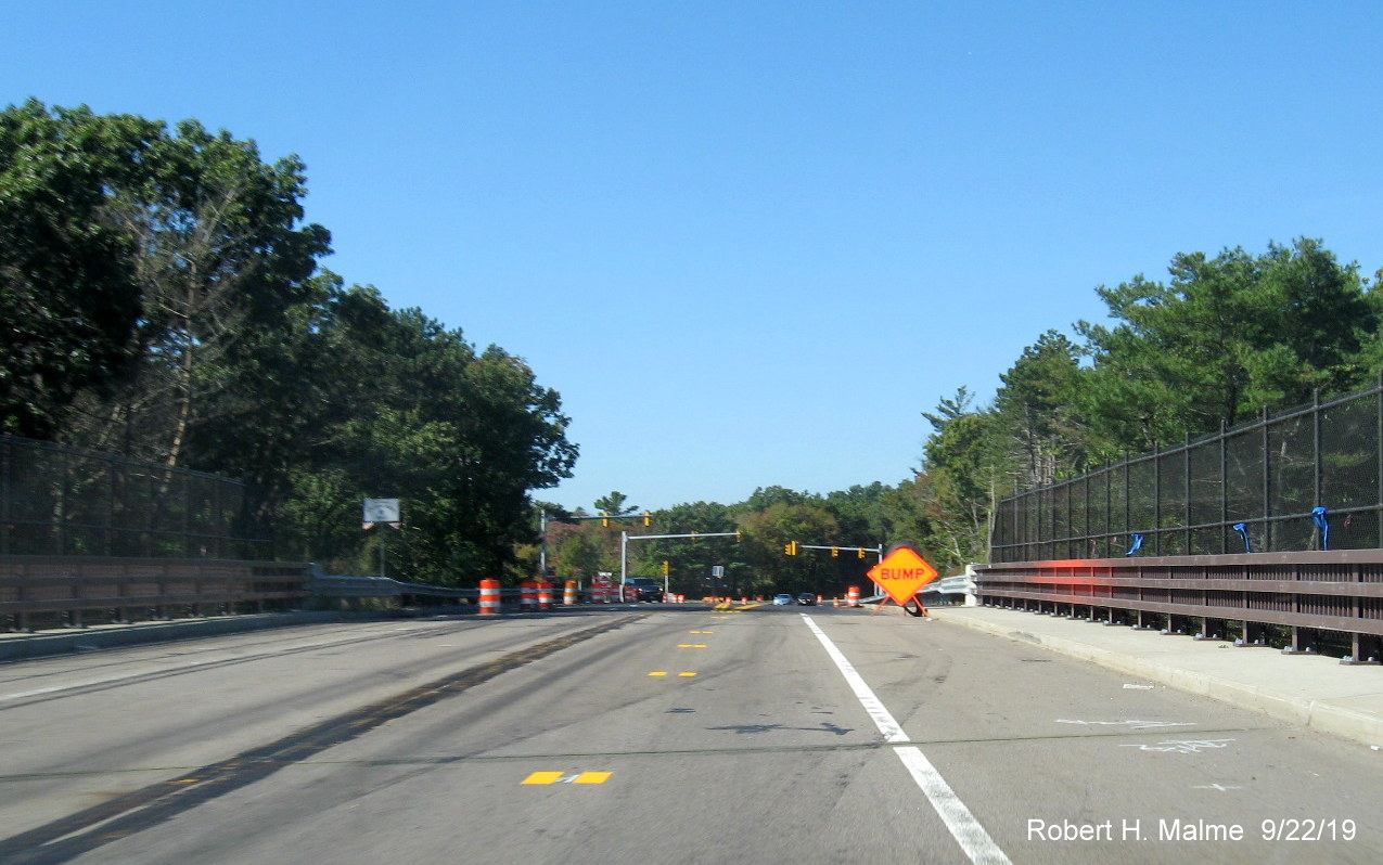
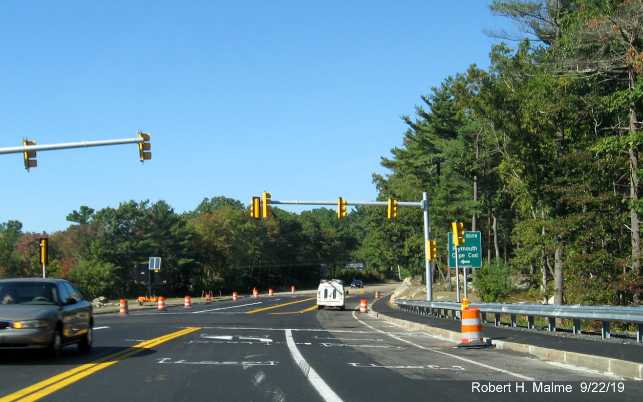
C. Route 18 Widening Project, Weymouth and Abington, 2017-2022:
This project
began in 2017 and widened Route 18 to four lanes for about 4 miles from
Middle Street in Weymouth to Route 139 in Abington. Below are a series
of photos taken of construction starting in November 2022, and
proceeding backwards to May 2018. Work was to conclude on the Weymouth
section by the end of 2019, but by late 2020, as photos below indicate,
while much progress had been made over the summer and fall of 2020, with
many sections near completion and four lanes opened up in either
direction from Route 3 to 139. Final paving of the completed lanes
started in the summer of 2021. Lanes between Route 58 and Route 139 were
completed first during the summer of 2021. Work then moved northward
with the final paving of the new lanes in Weymouth taking place in the
fall of 2021. Work however continued, and more new signage was
installed, particularly at major intersections. Work on replacing the
commuter railroad bridge was the last piece of the project to complete.
That was scheduled to be also finished in the fall of 2021, however work
continued into 2022, the bridge was finally opened to 4-lanes as of
November, and remaining guide signage installed. Work completed after more than 5 years...
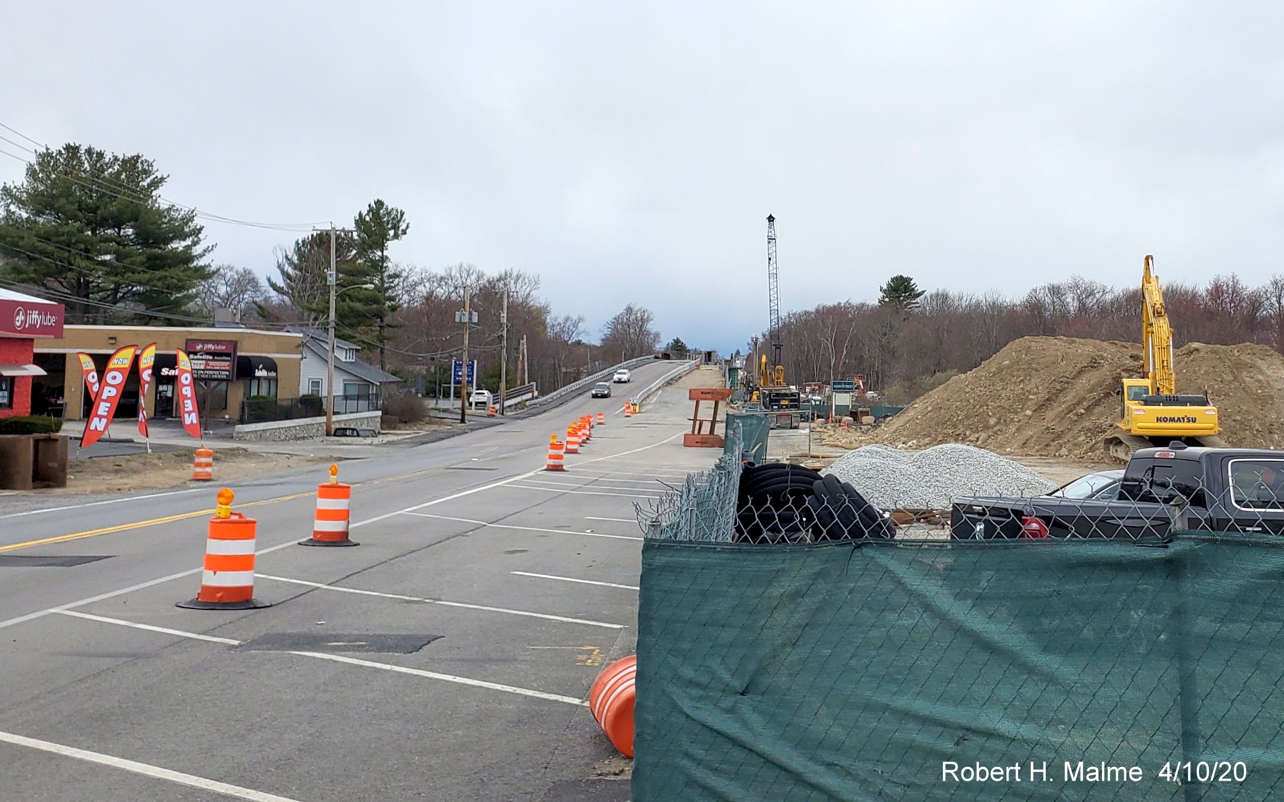
Last Photos, Taken November 23 and 26, 2022:
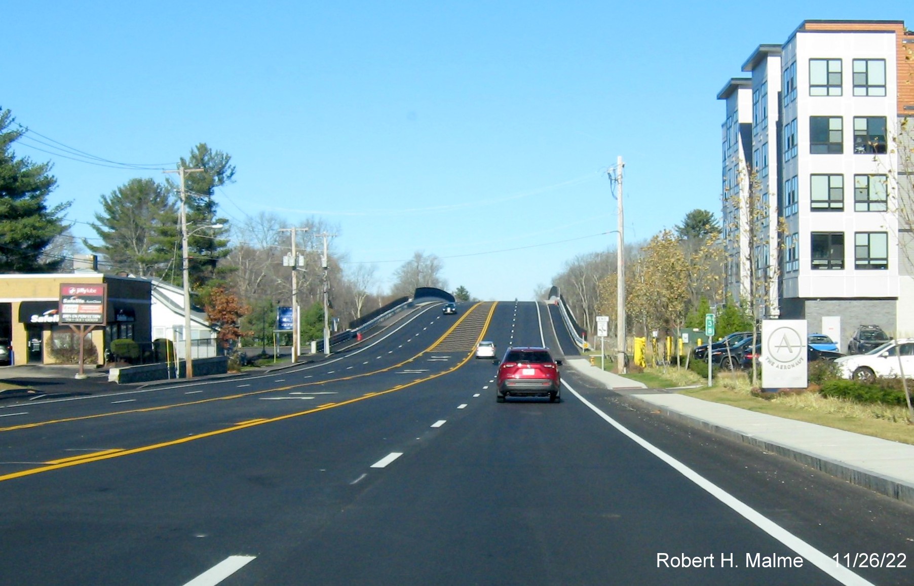
They finally completed commuter railroad bridge, and an added new
Mile 38 marker before it on Route 18 North on Thanksgiving weekend.
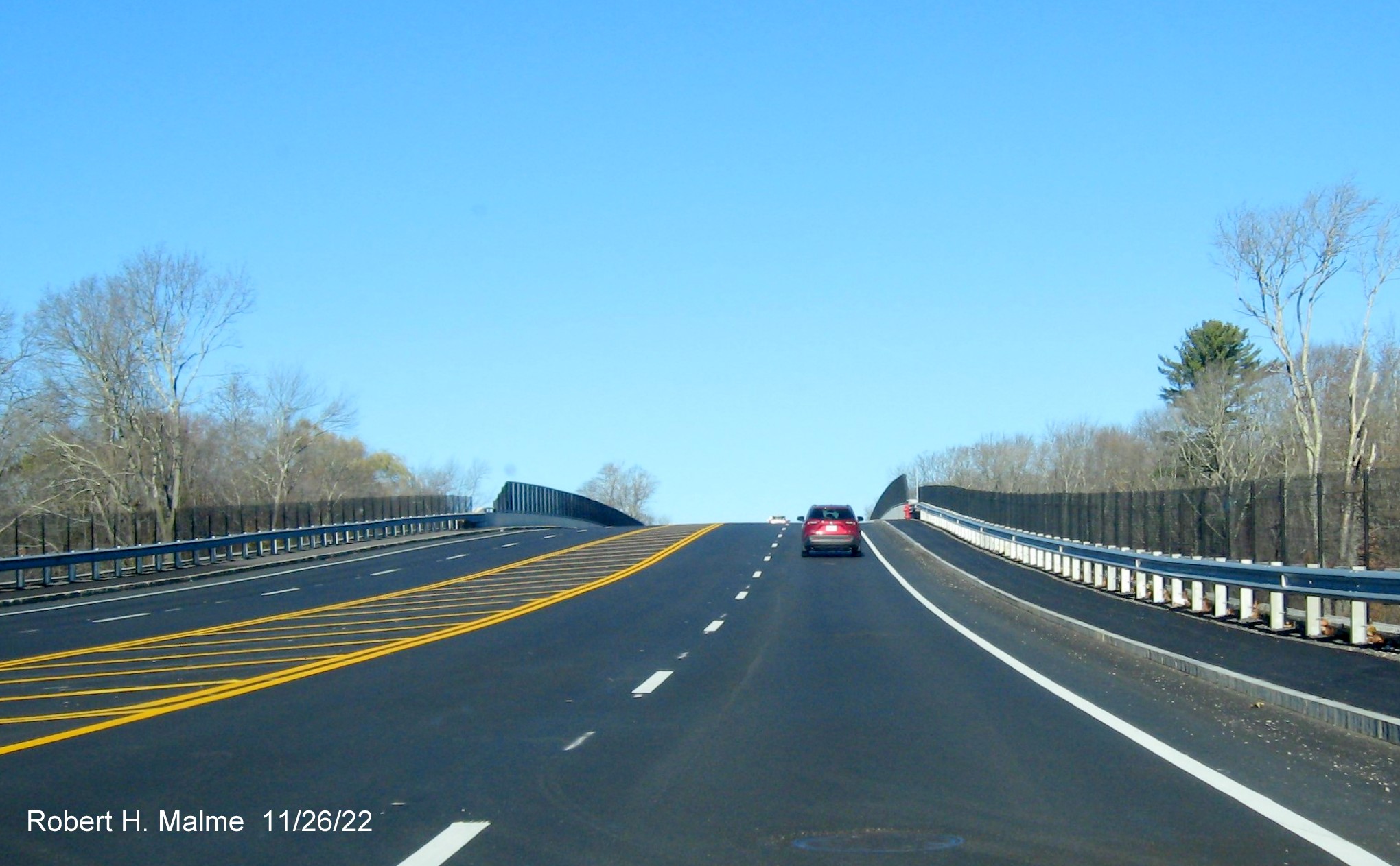
Traffic on Route 18 North heading up the railroad bridge.
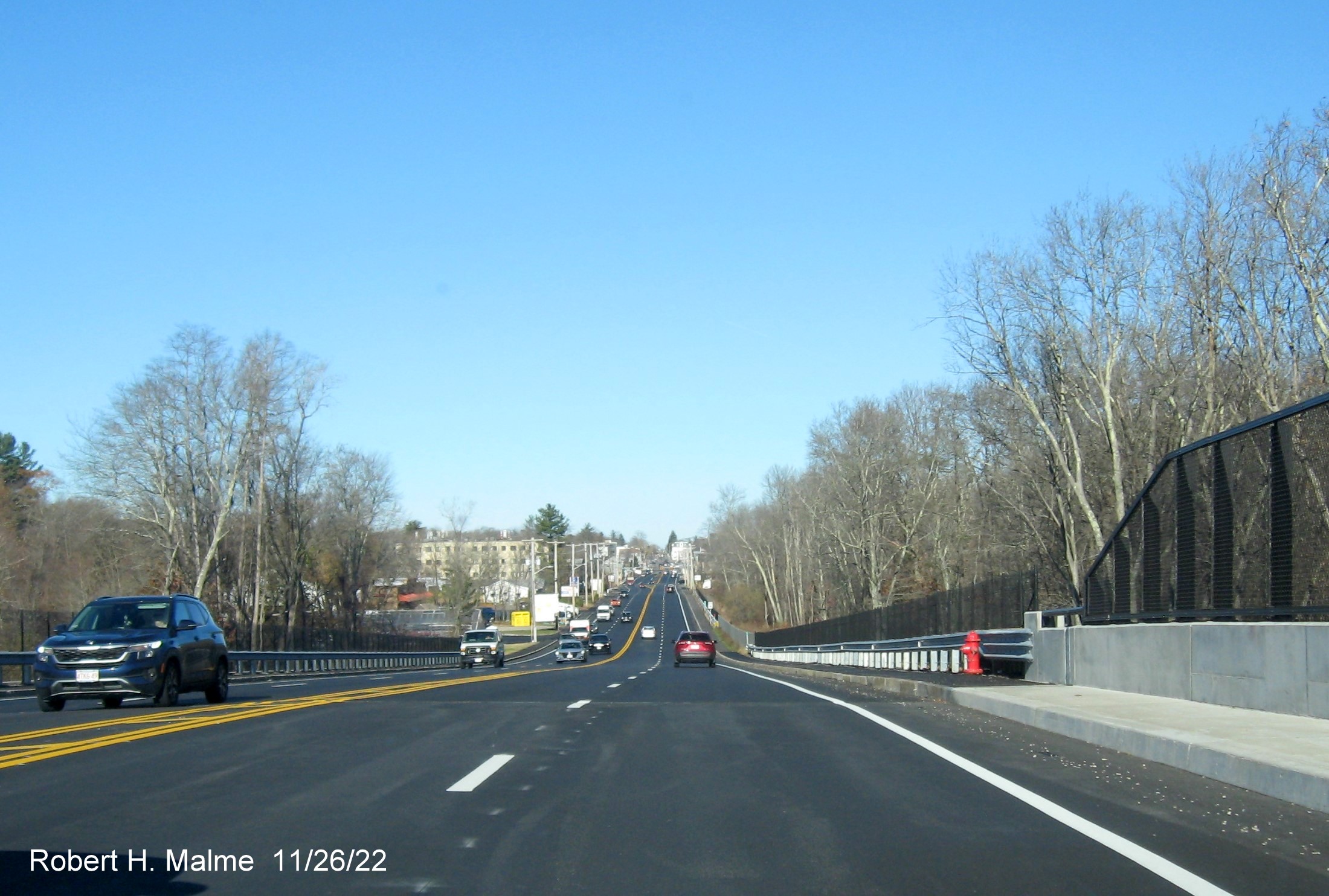
Traffic heading down the commuter railroad bridge, with 4-lane
roadway heading towards Columbian Square in the distance.
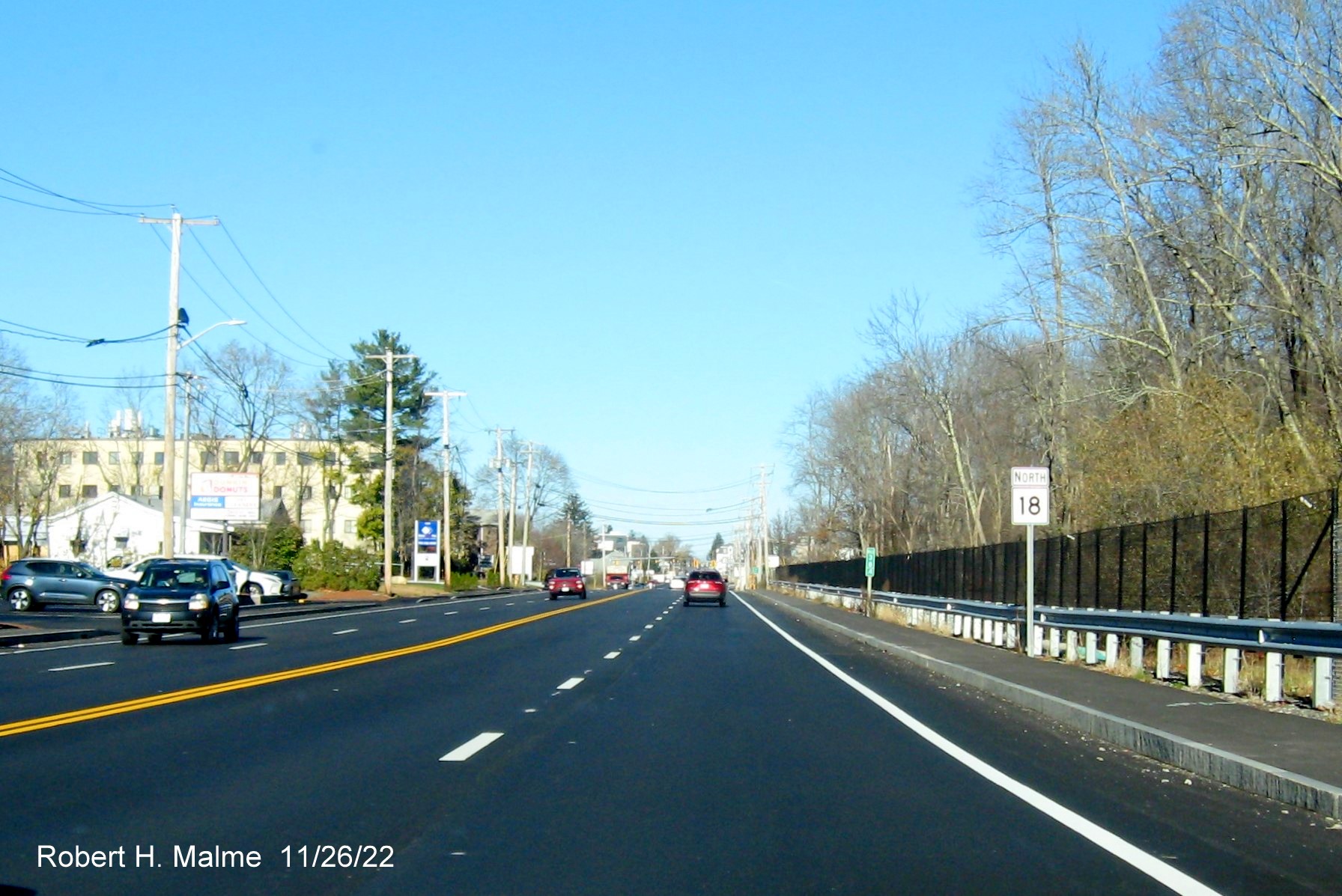
A new North Route 18 reassurance marker after the completed commuter
railroad bridge. Turning around....
A new guide sign for MA 58 South was finally put up in November as
well.
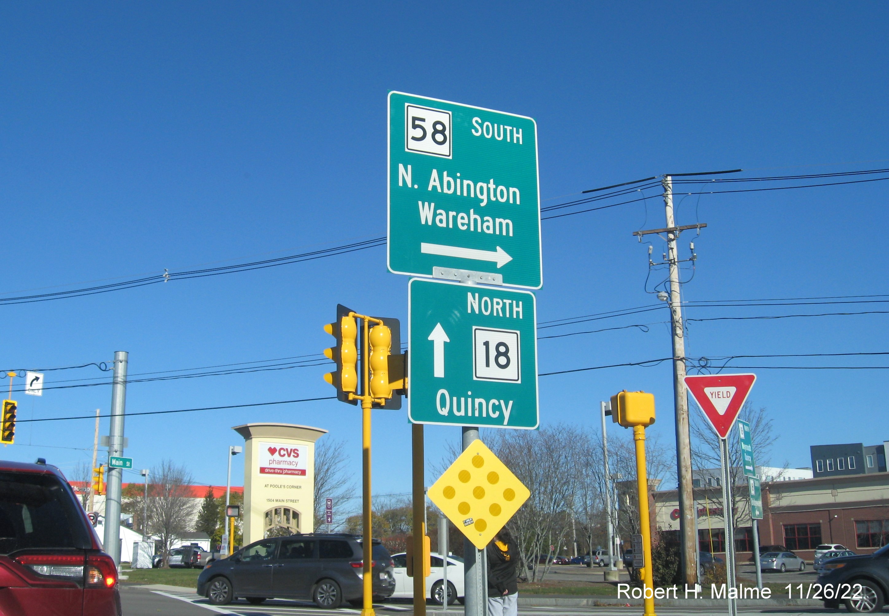
A closeup view of the previously installed guide signs at the start
of South Route 58, no Route 18 doesn't go to Quincy, but it ends at Route 53 which does.
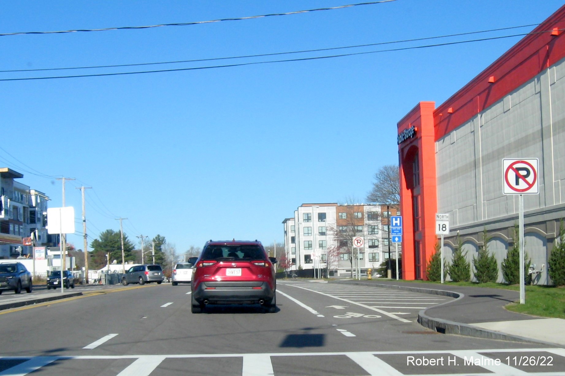
A first North Route 18 reassurance marker after Route 58 is beyond
the Trotter Road intersection.
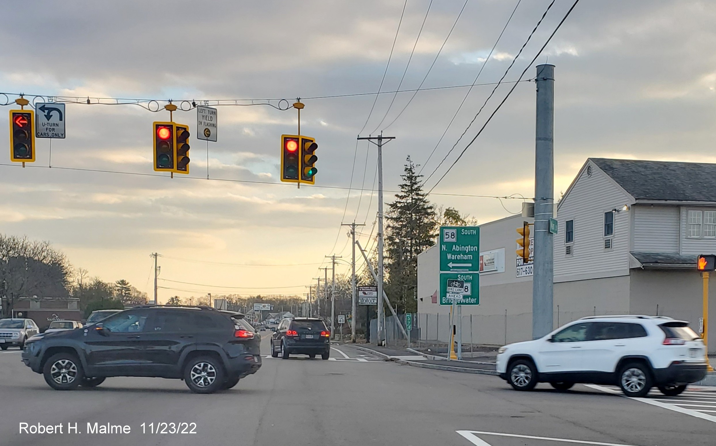
Taken September 27, 2022
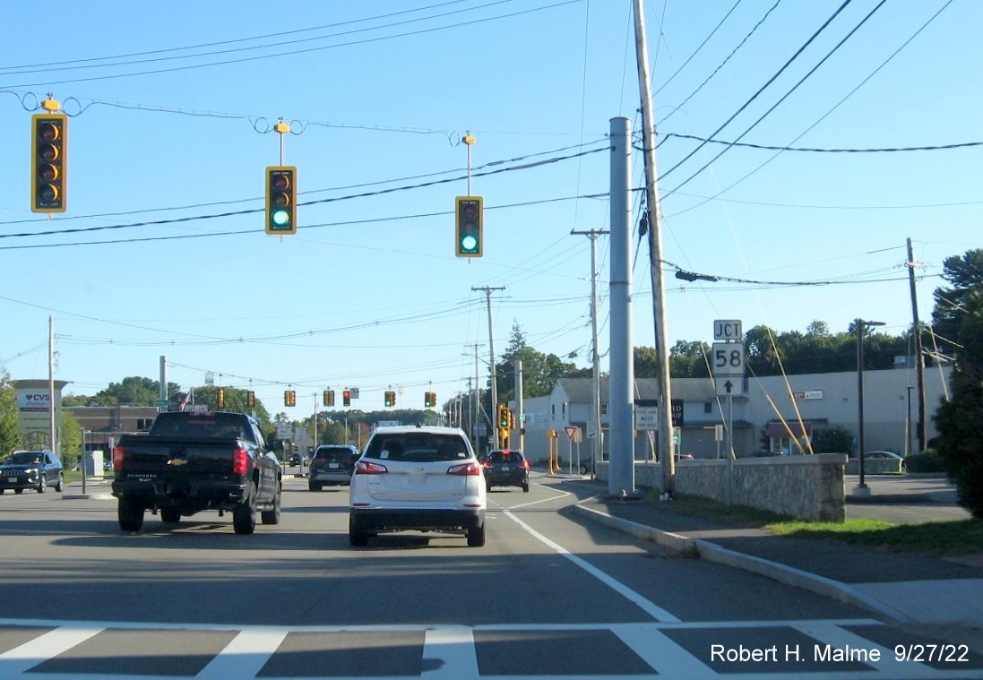
A recently placed Junction Route 58 trailblazer has an arrow
implying the route goes straight at the next intersection, instead of left. This was complicated by a lack of additional guide
signs at the intersection, that were not be placed until November 2022.
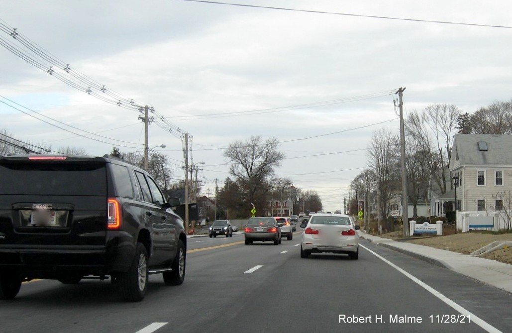
Photos Taken November 28, 2021
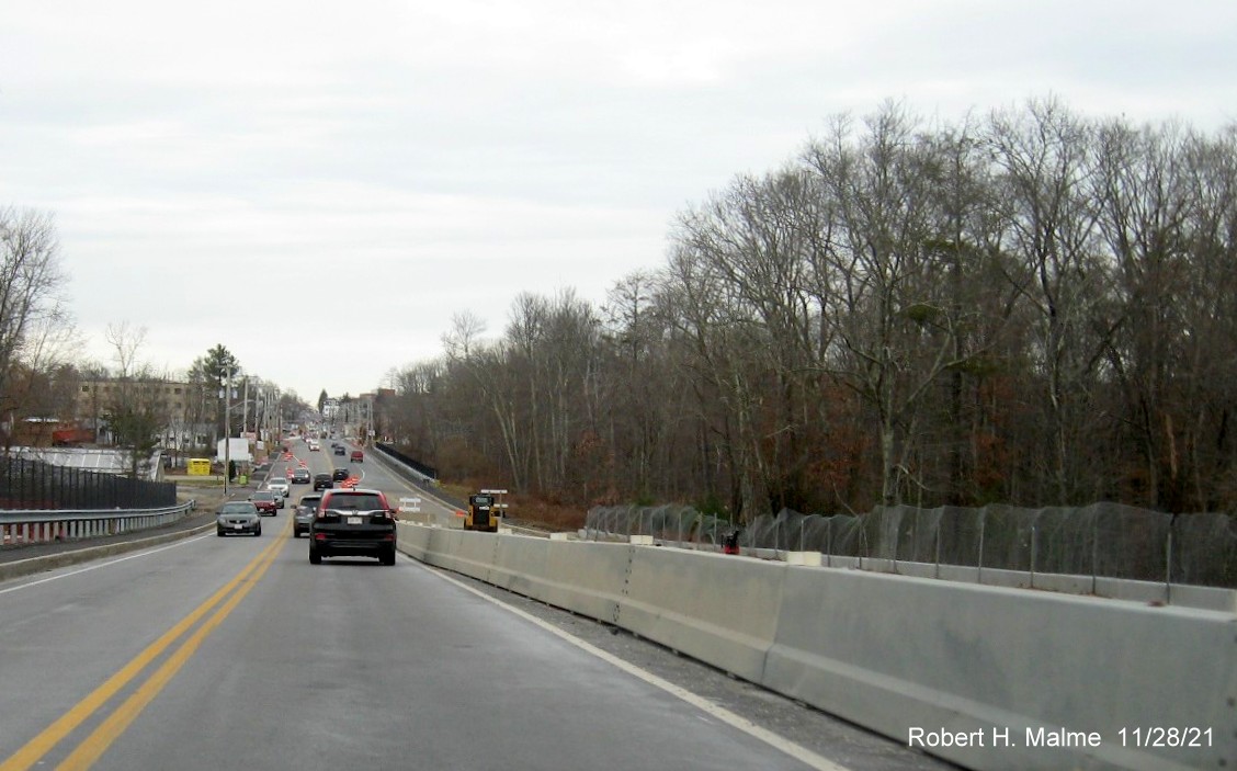
Looking north from the still incomplete South Weymouth commuter
railroad bridge showing final pavement has been placed on the 4 traffic lanes north of the bridge.
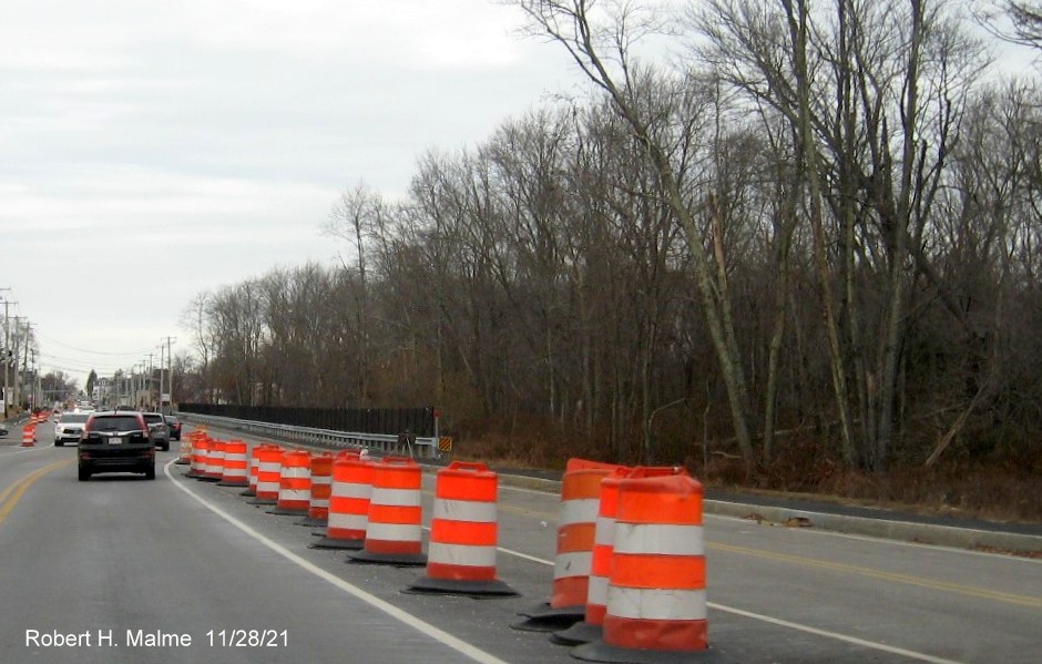
Traffic at the bottom of the bridge on Route 18 North shifting onto
the newly paved 2 traffic lanes north of the bridge.
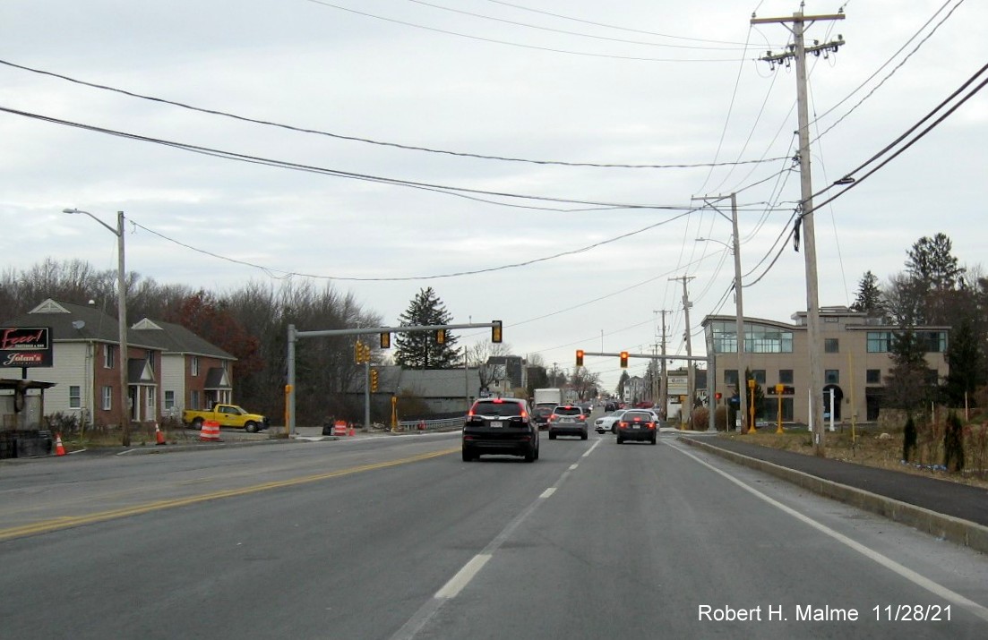
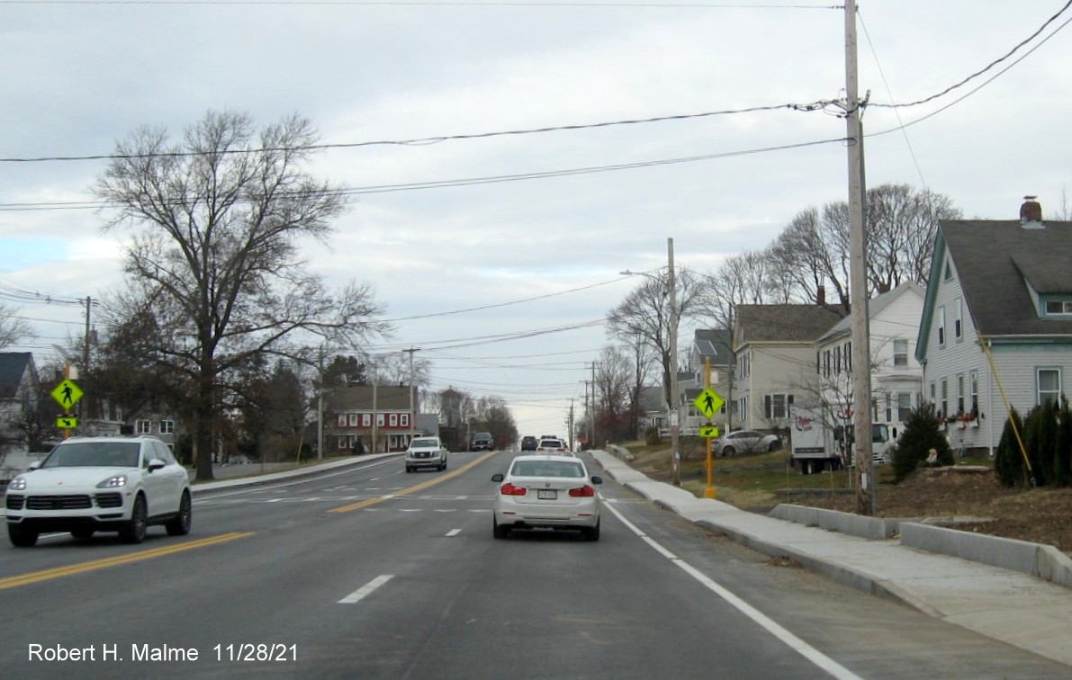
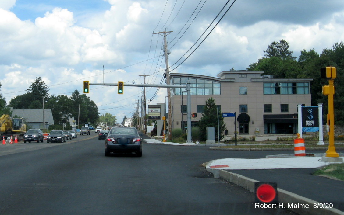
Driving the permanent pavement placed on Route 18 North approaching
the entrance to Union Point at Shea Blvd. Work was still continuing along the southbound lanes beyond the traffic
light.
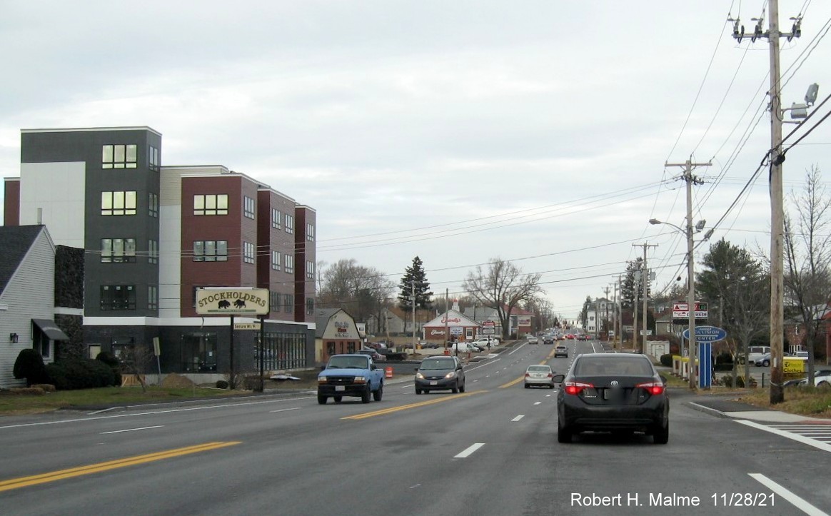
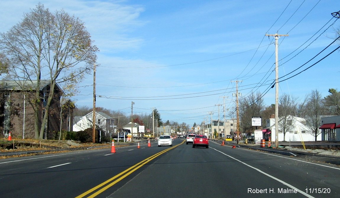
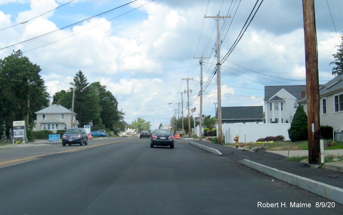
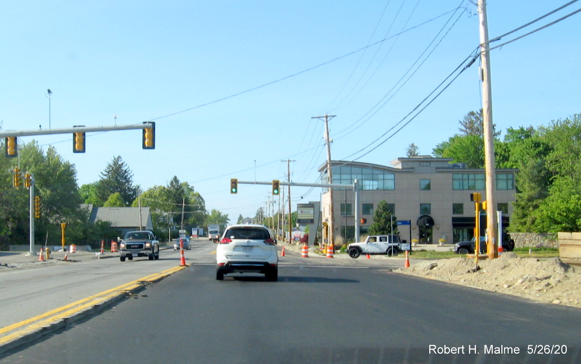
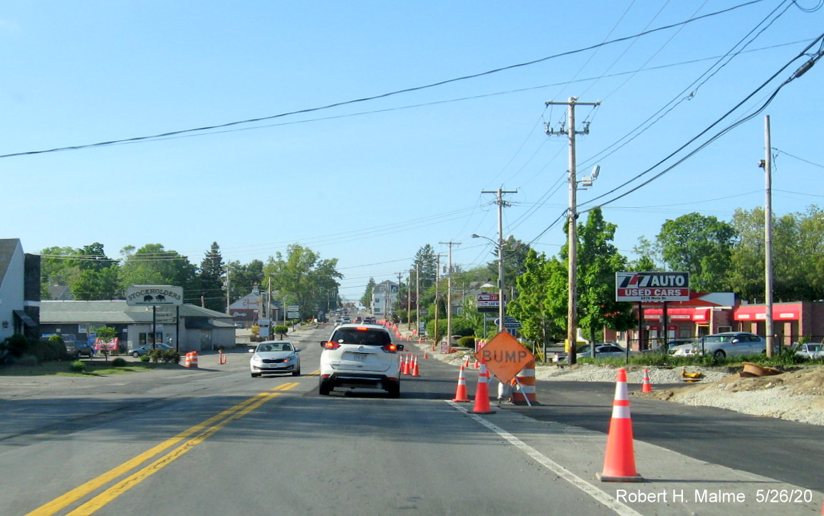
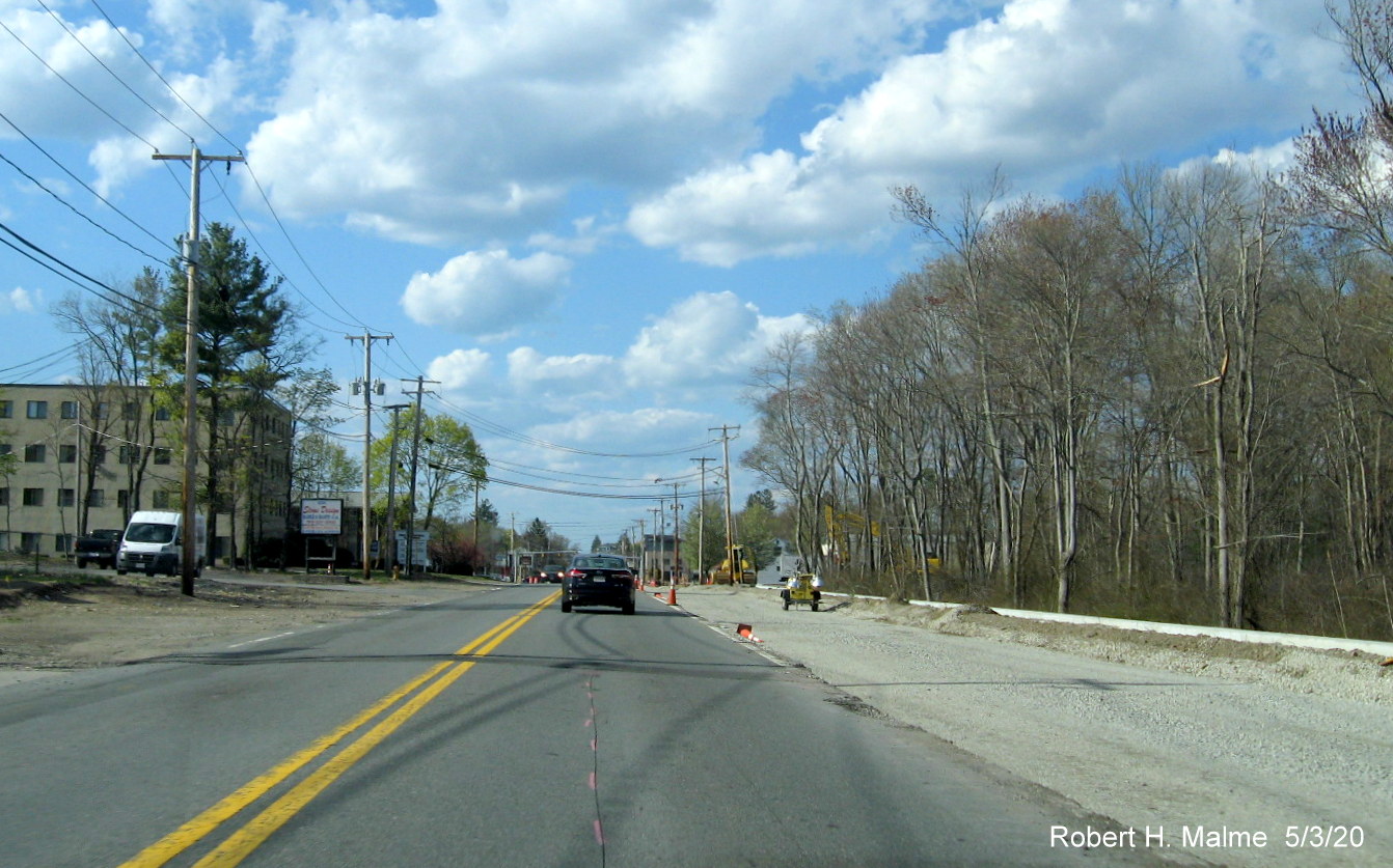
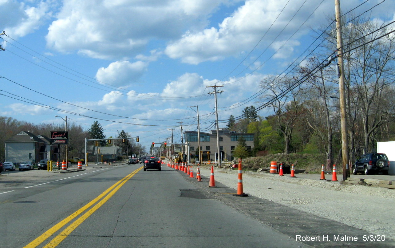
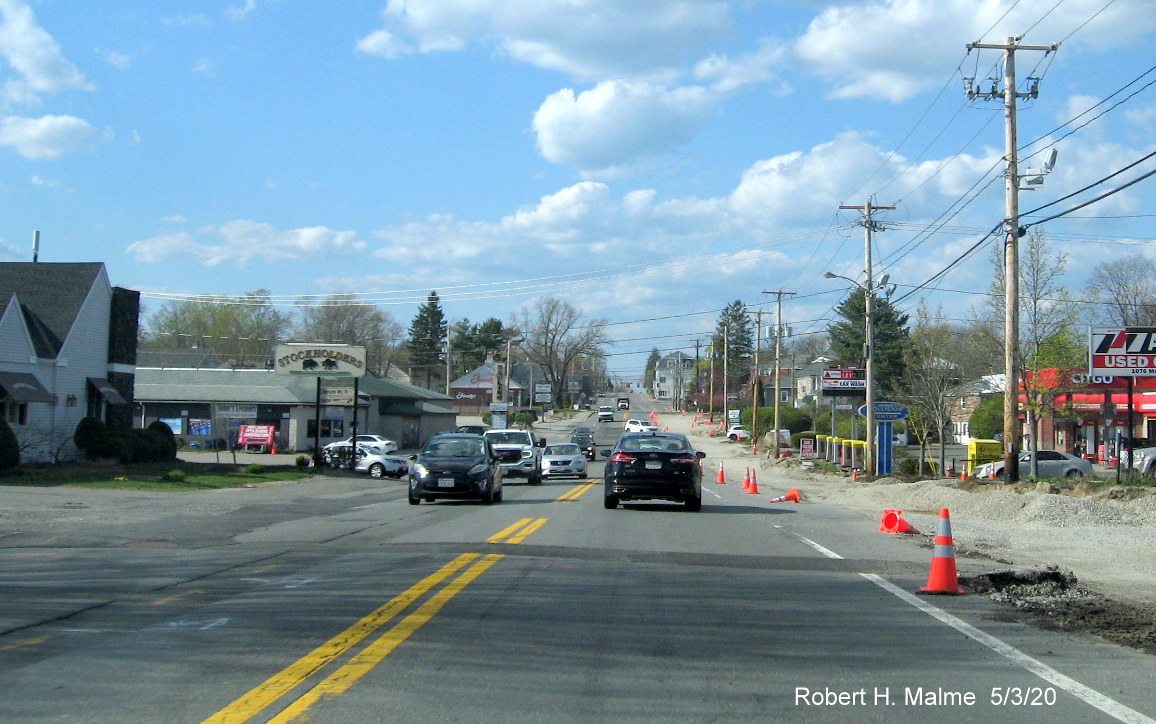
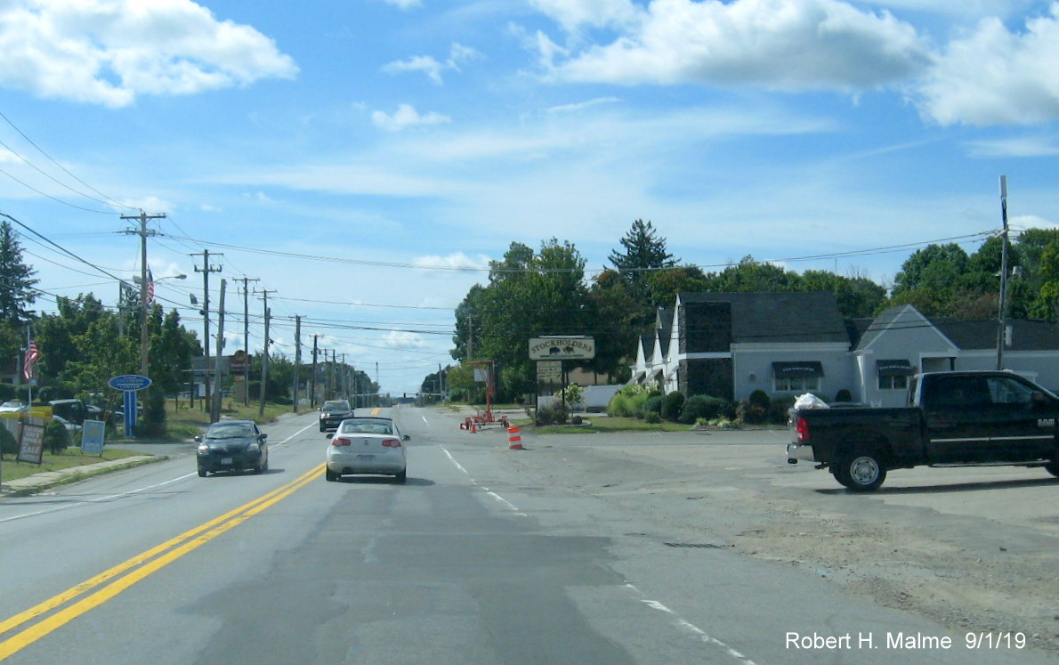
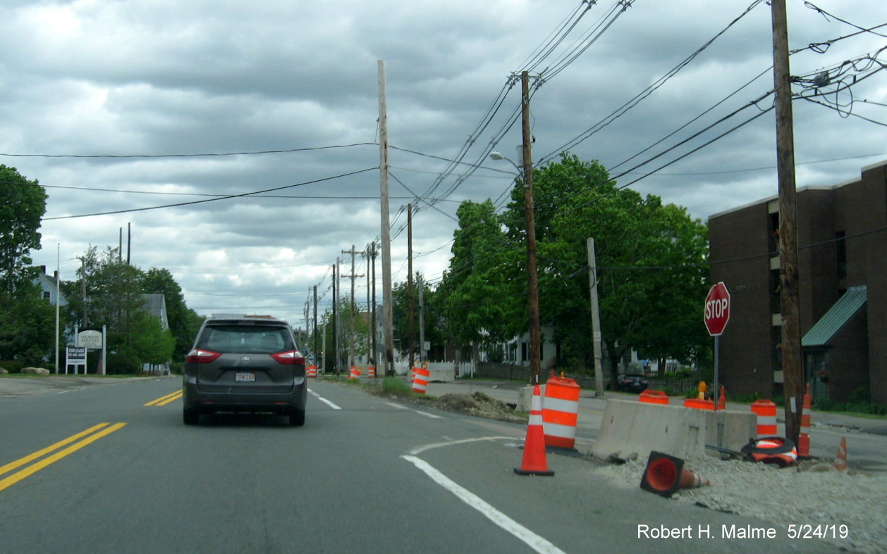
Heading further north into Weymouth toward Columbian Square, all
new lane markings in place, The new building behind the Stockholders Restaurant sign advertises itself as luxury condos. Is
this because it's by a steak house (and Friendly's) or that it overlooks a Citgo station?
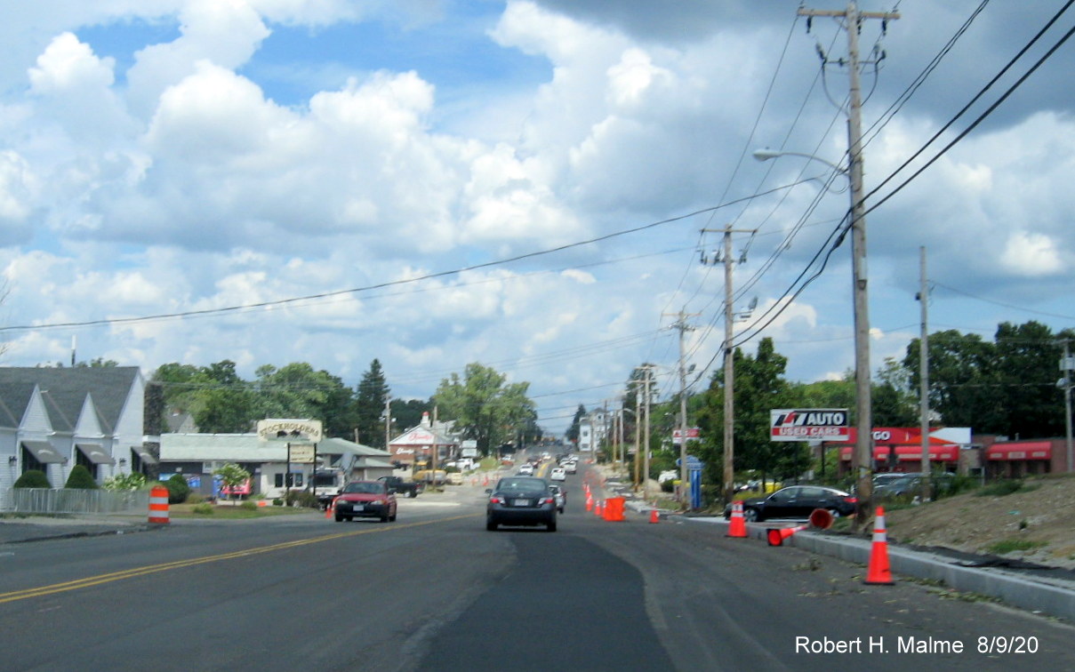
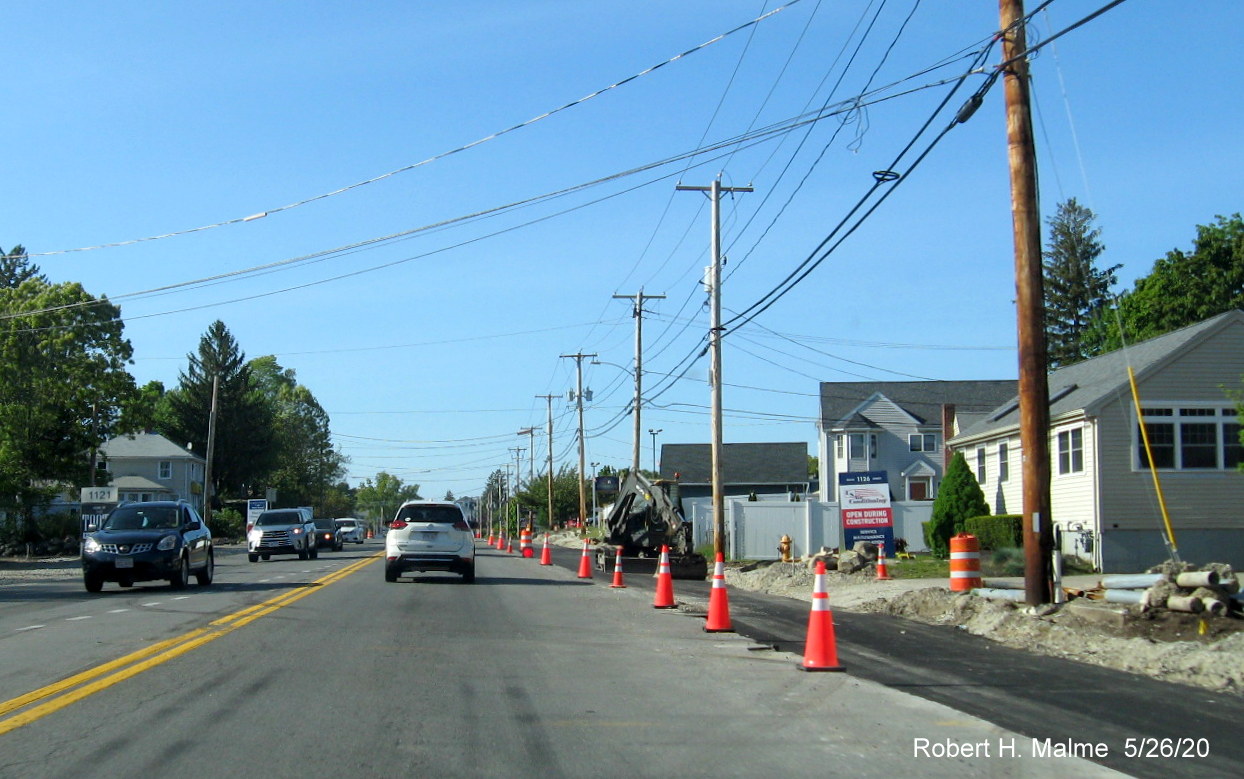
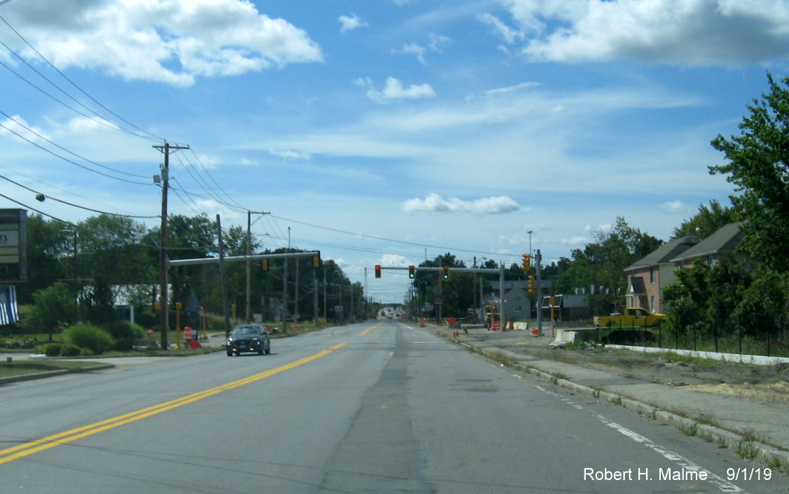
Further north, beyond the existing 4-lane section by South Shore
Hospital and the Park Drive intersection, the widening has also been completed.
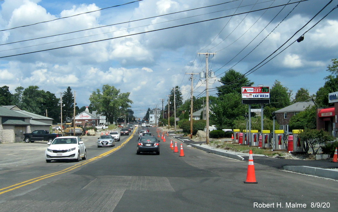
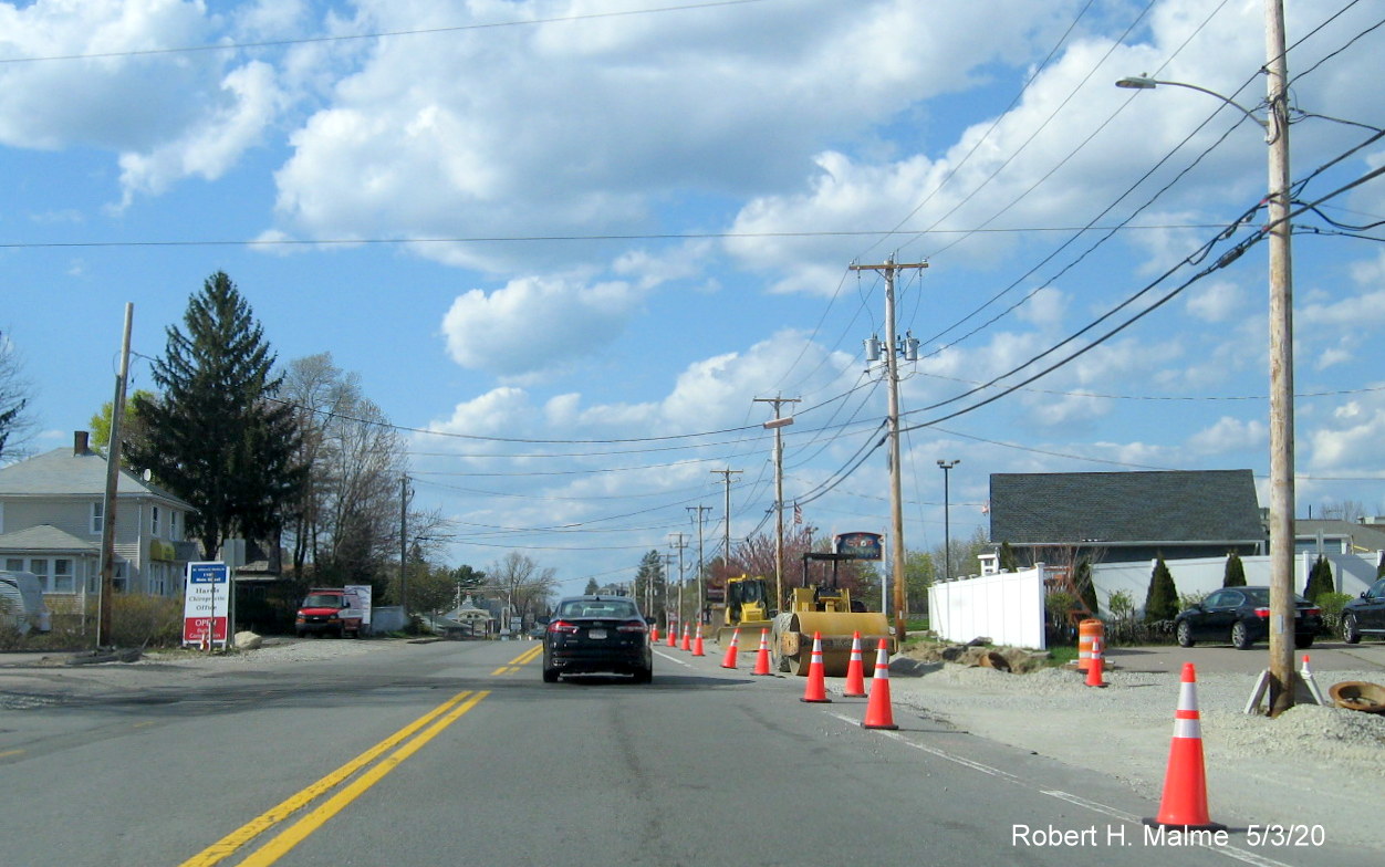
The new sidewalks are concrete in this section, here approaching one
of the new flashing pedestrian crossing signals.
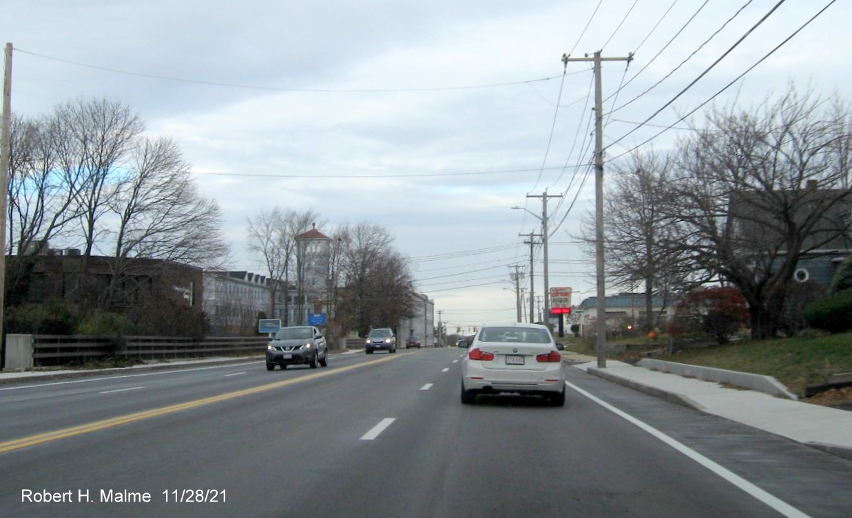
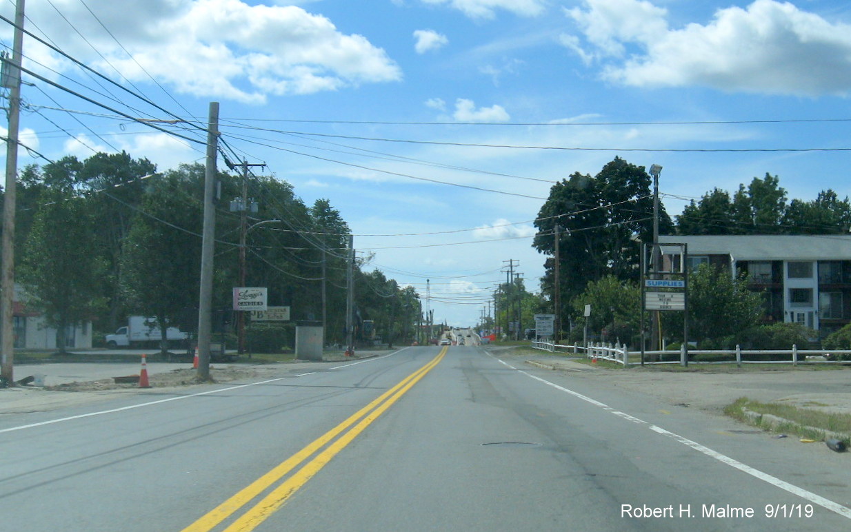
Traffic approaching the Middle Street intersection and the end of
the widening project work zone.
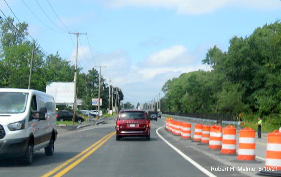
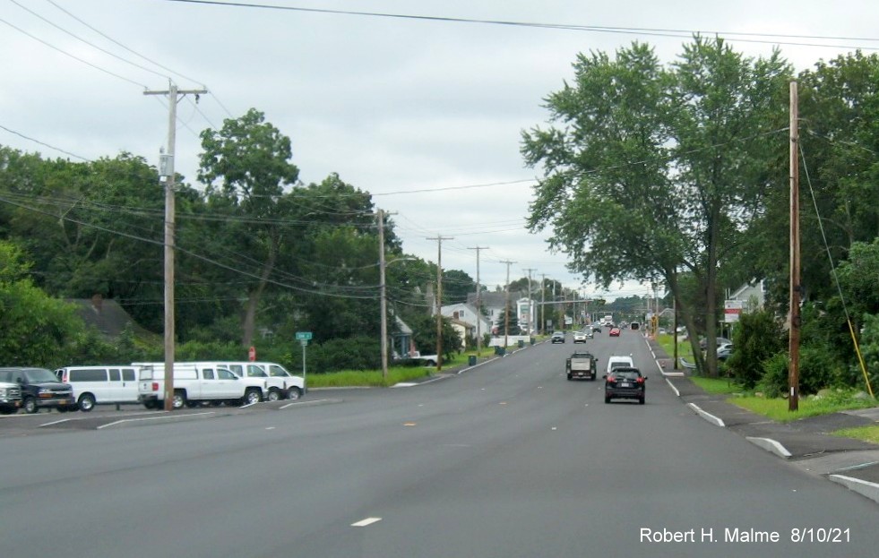
Taken August 10, 2021
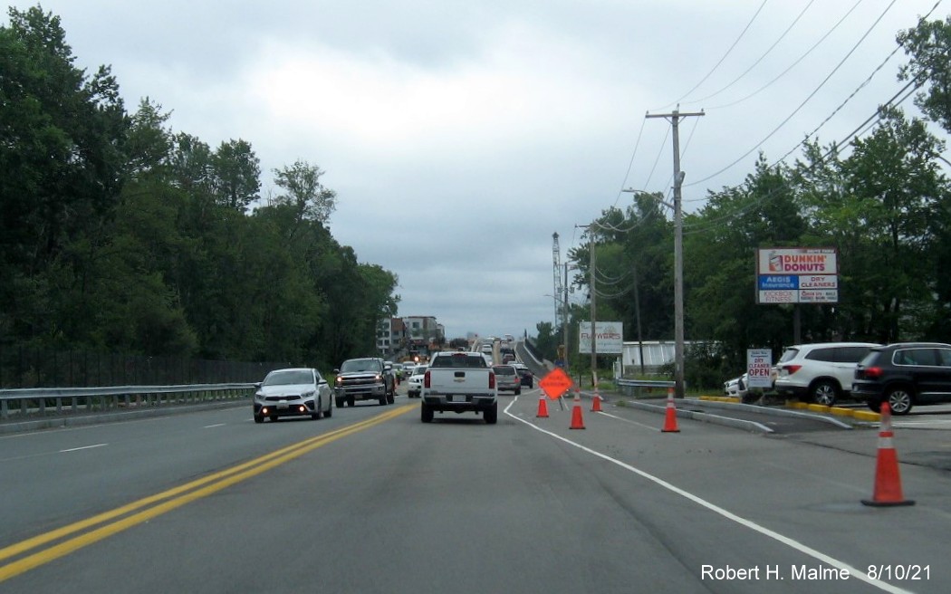
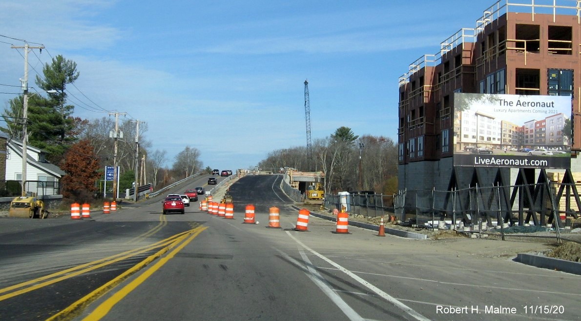
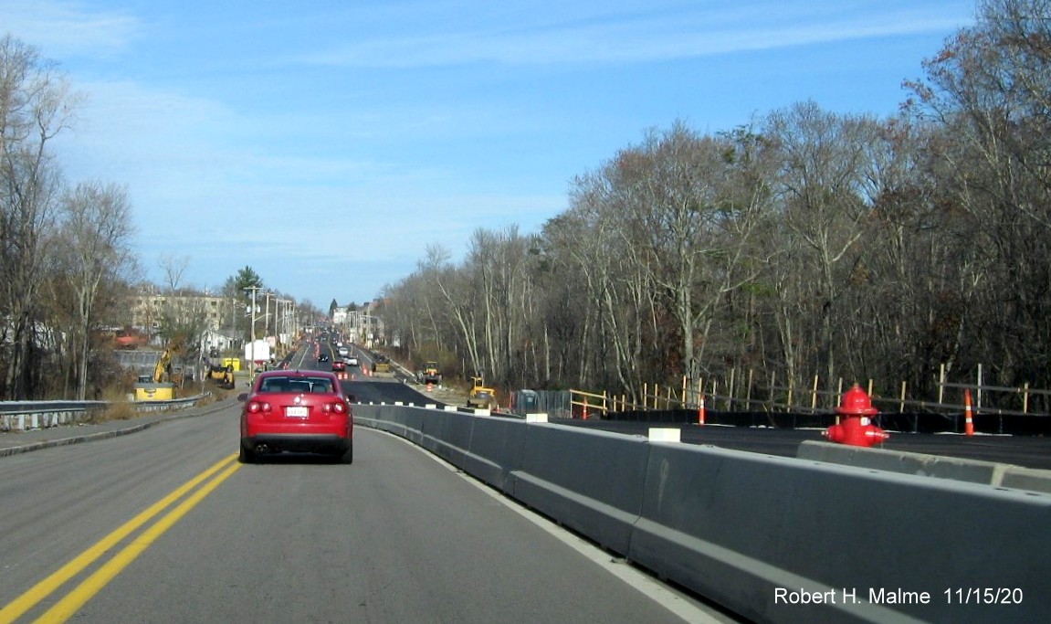
Approaching the commuter railroad bridge on Route 18 South. Traffic
was moved back to the completed future southbound lanes of the bridge after the structure for the northbound bridge was put in
place in early August 2021.
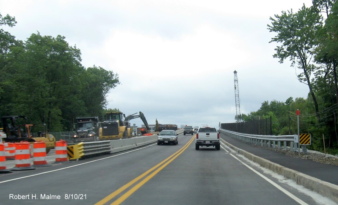
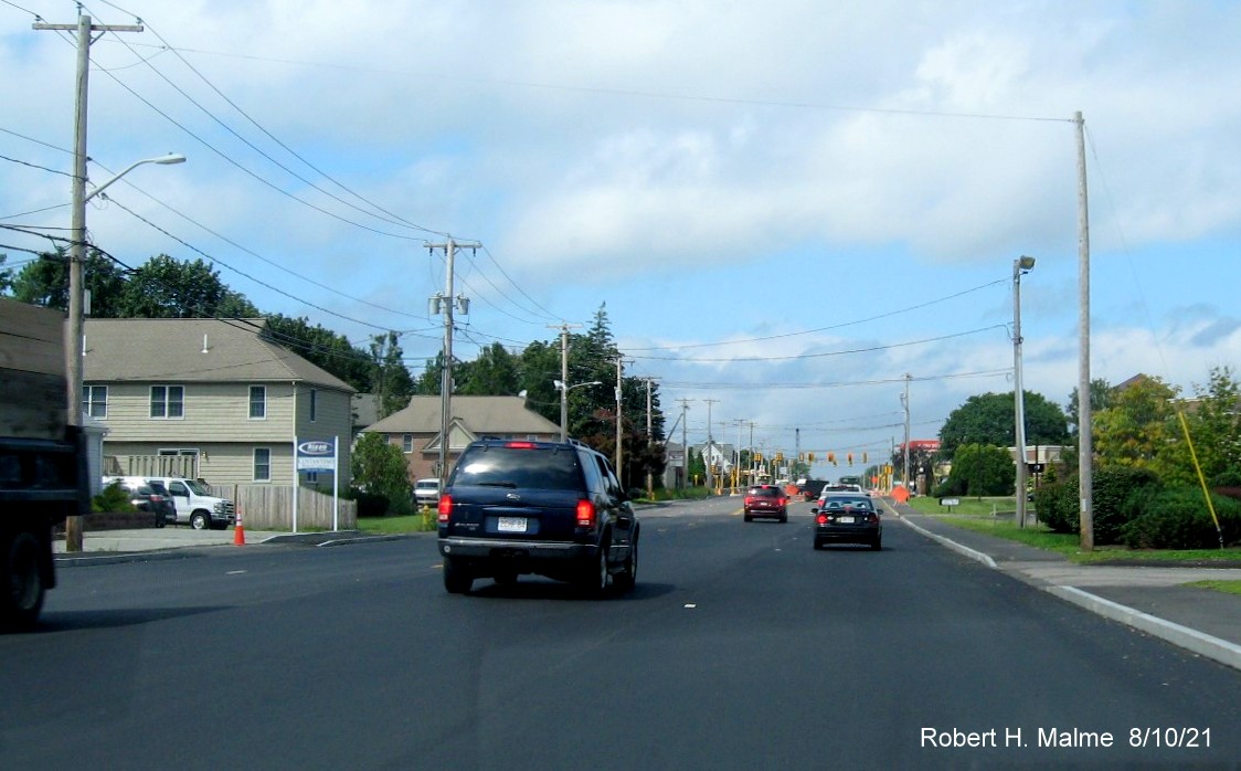
At the foot of the railroad bridge on Route 18 South. Work continues
to tie in the new northbound bridge with the existing travel lanes.
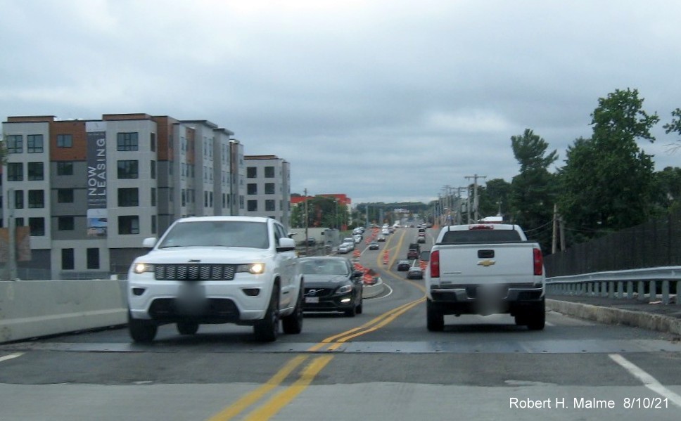
View at the top of the commuter railroad bridge on Route 18 South
sharing the bridge with northbound traffic.
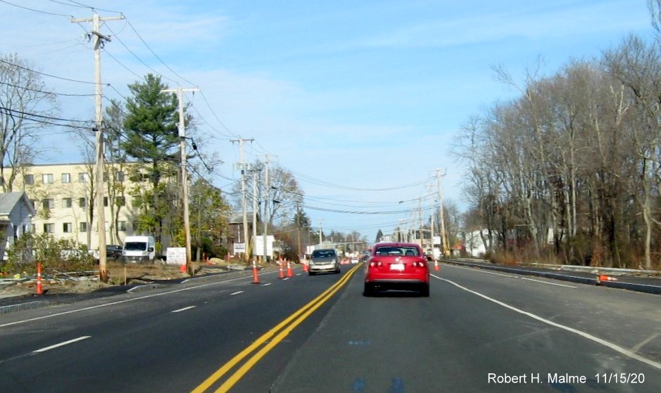
View leaving the commuter railroad bridge on Route 18 South. Hard
to tell whether all the construction equipment at the bottom is for the bridge or the new apartment building being
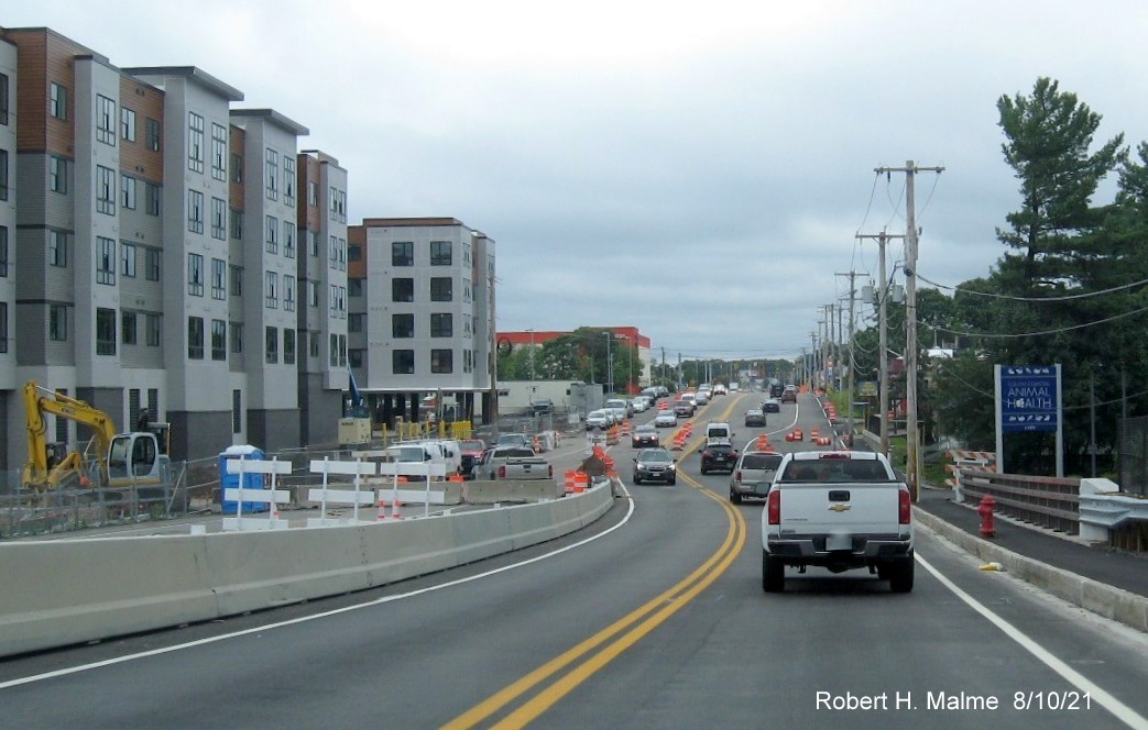
constructed. Now turning around...
Traffic shifted to the left approaching the commuter railroad bridge
on Route 18 North. The new bridge structure is behind the concrete barrier at the top of the bridge.
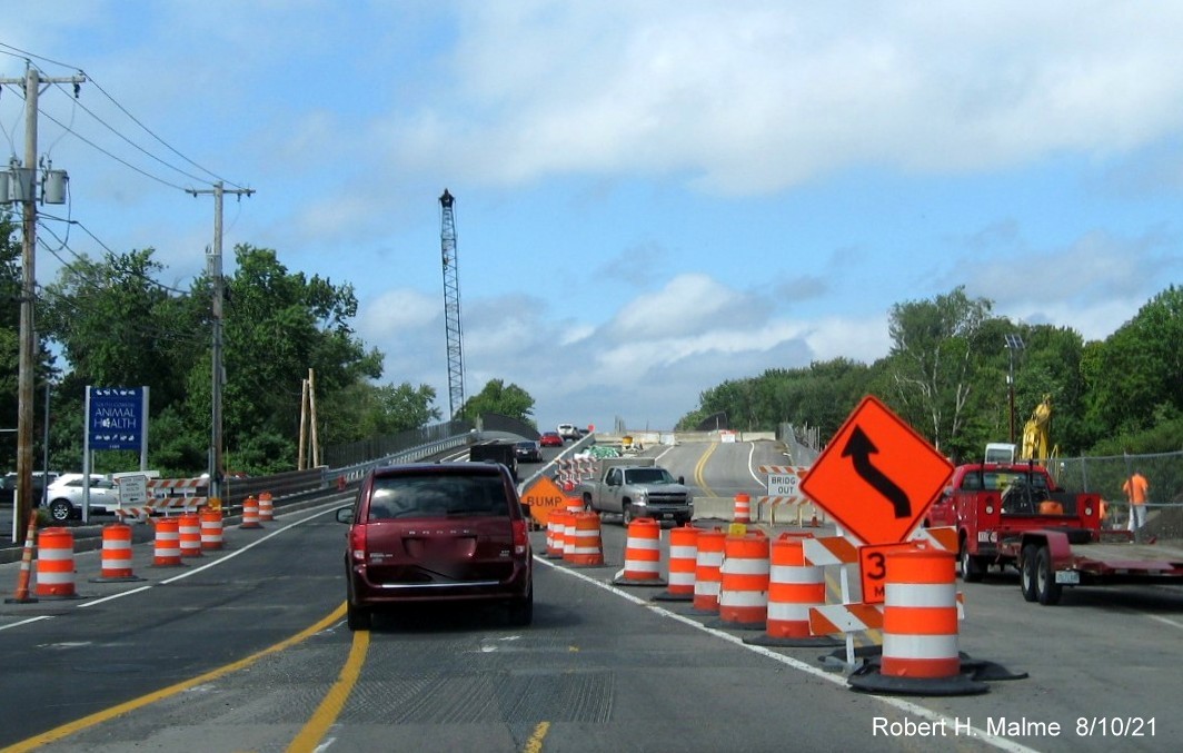
Traffic shifted back to the right after the commuter railroad bridge
on Route 18 North. New fencing can be seen behind the guardrails along the Northbound lanes. Heading back south beyond the
Route 58 intersection...
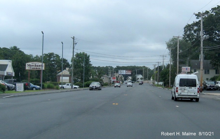
Route 18 south of the Route 58 intersection has received its final
pavement layer and awaits final lane striping.
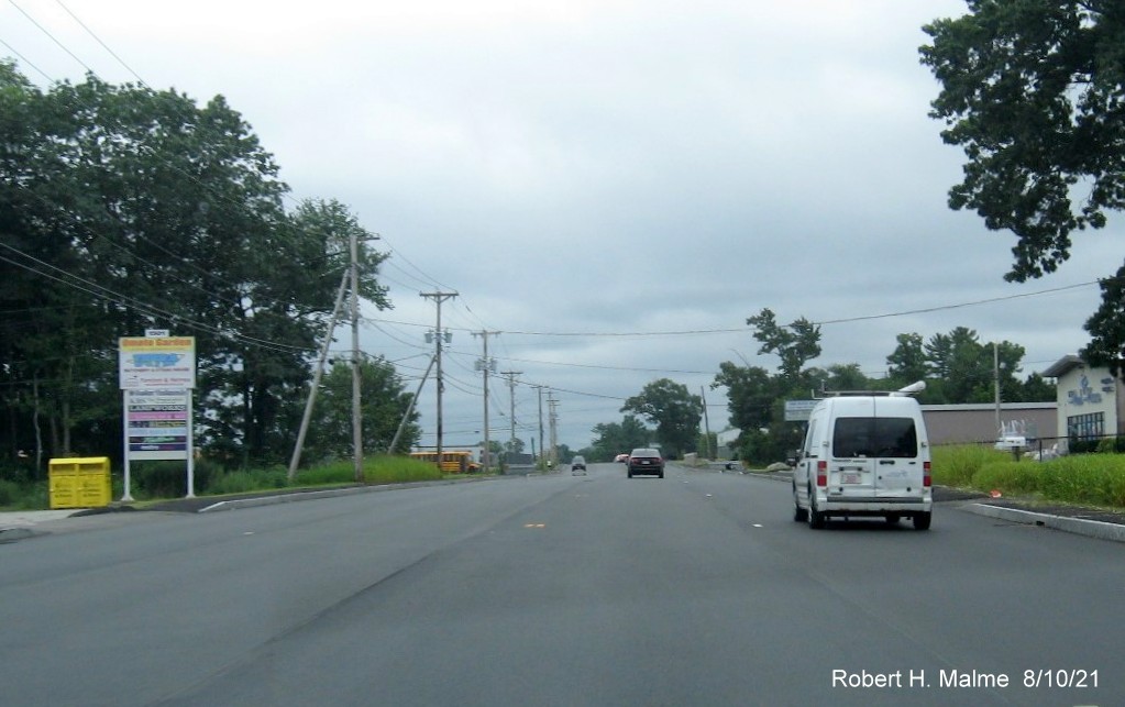
The paved lanes of Route 18 just over the Abington town line.
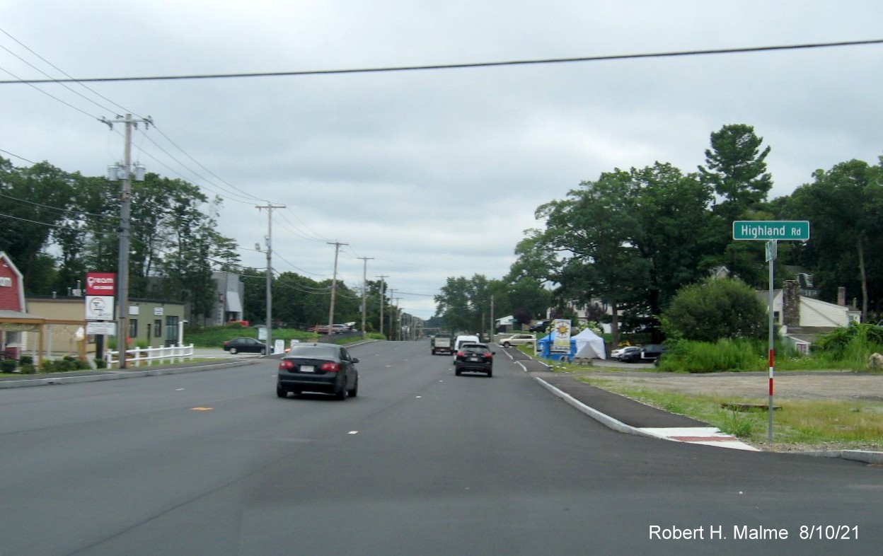
Repaved Route 18 just south of the Abington Ale House at the corner
of Highland Road.
Paved Route 18 looking toward the southern end of the project at
the Route 139 intersection in Abington.
Paved Route 18 looking toward the southern end of the project at
the Route 139 intersection in Abington.
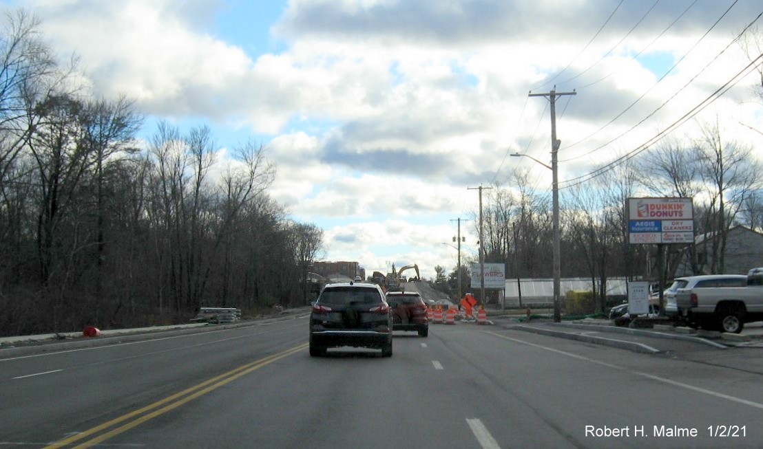
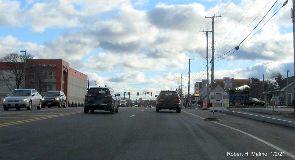
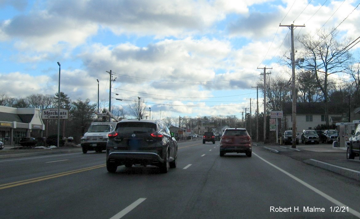
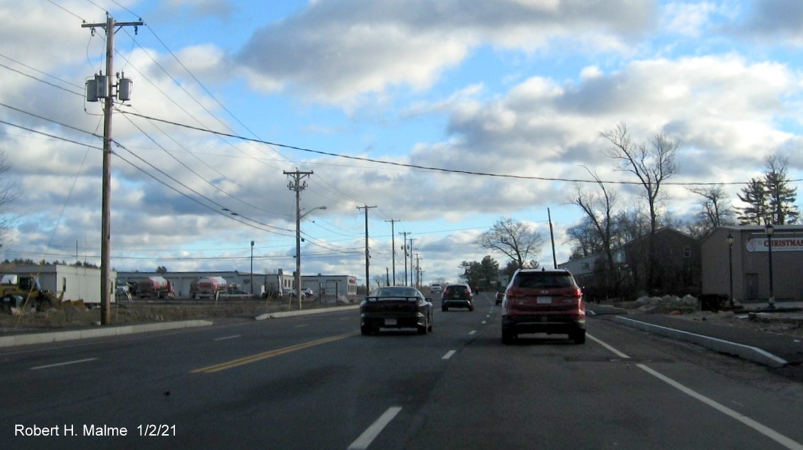
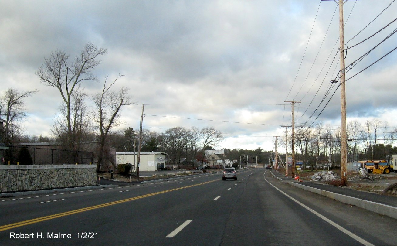
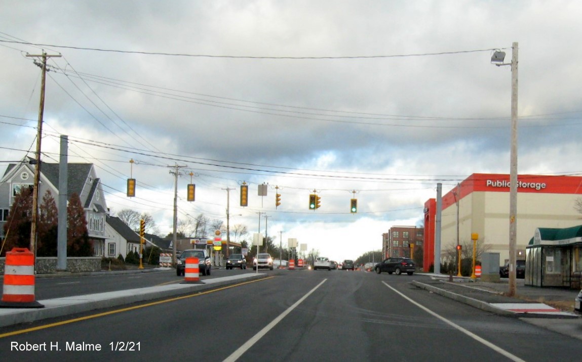
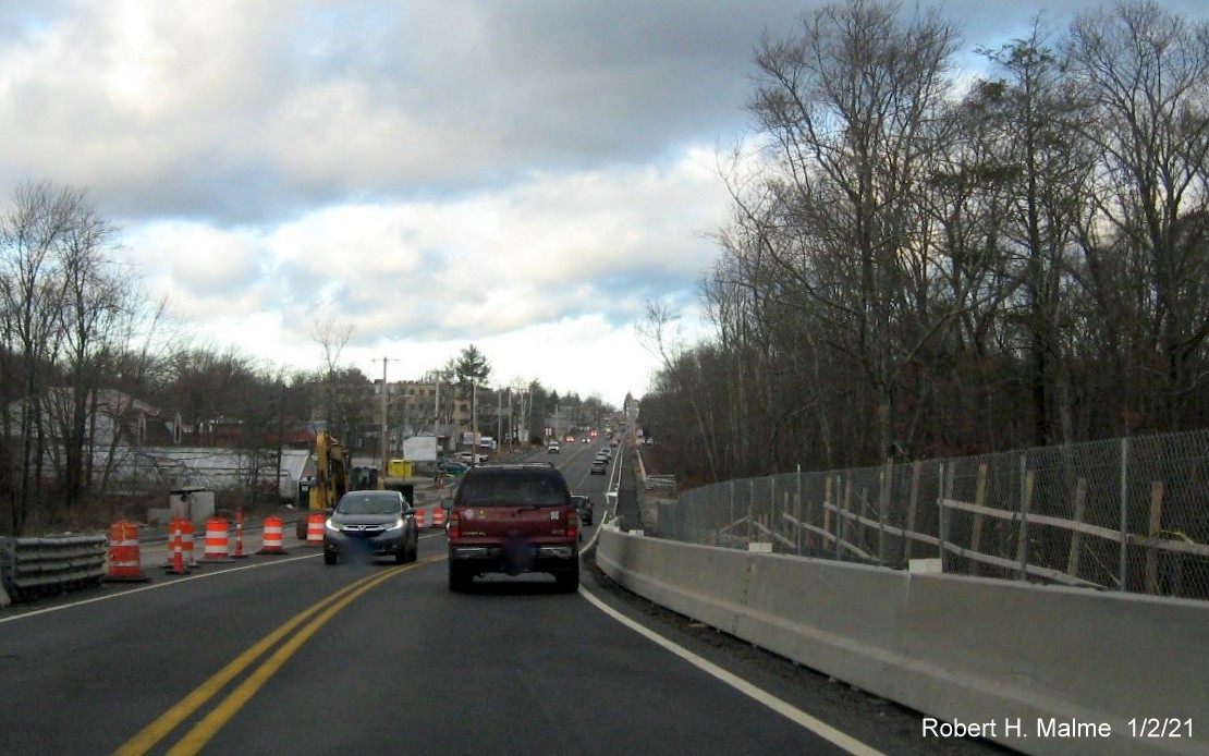
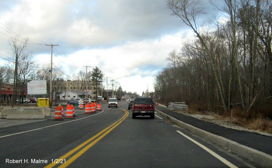
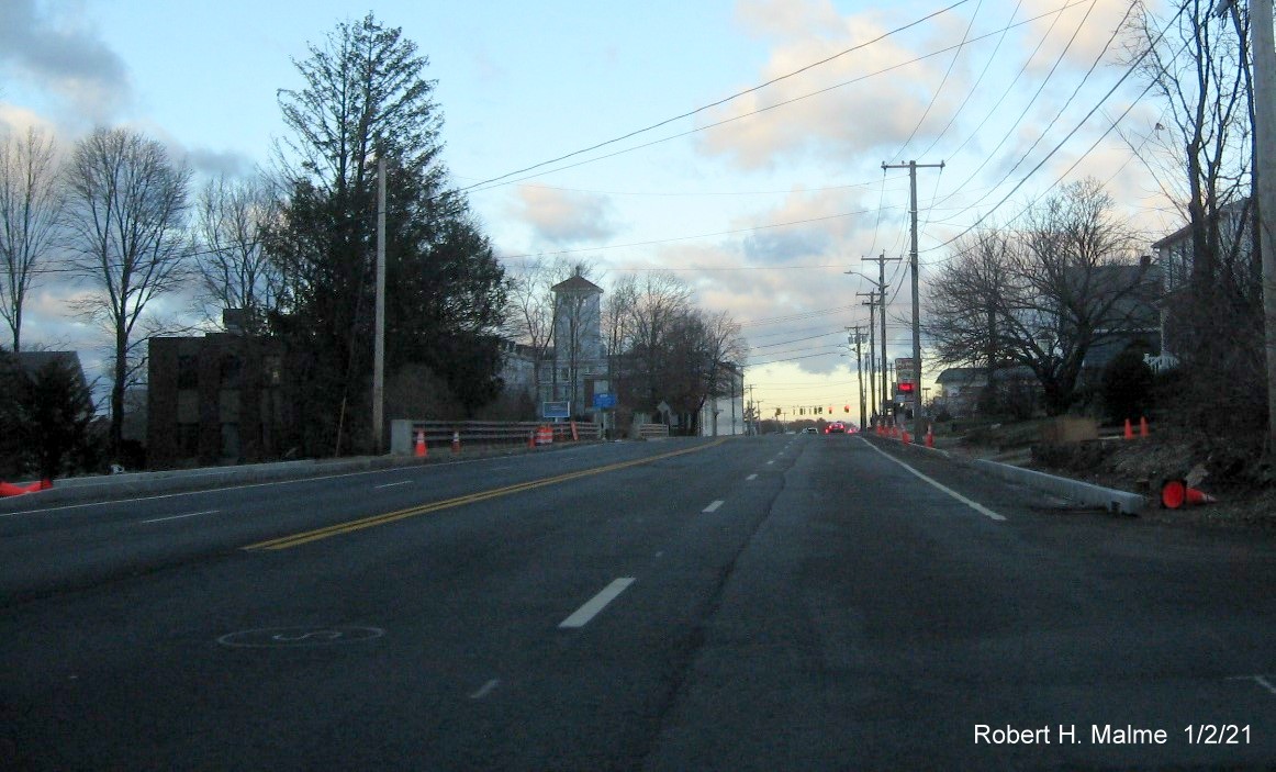
Taken January 2, 2021:
Heading south from Pleasant Street in Weymouth towards
Abington:
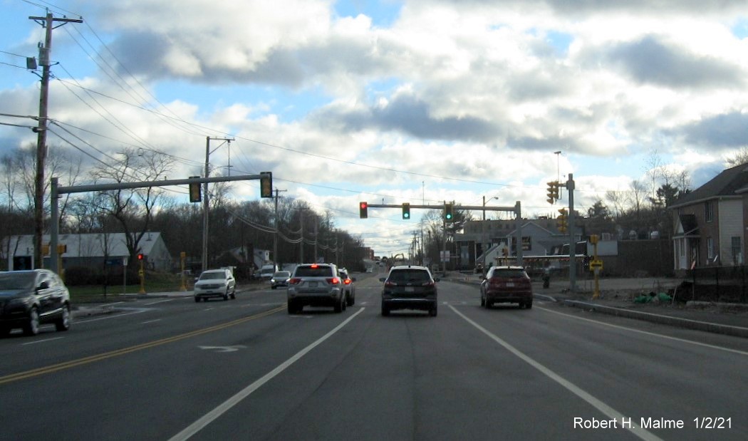
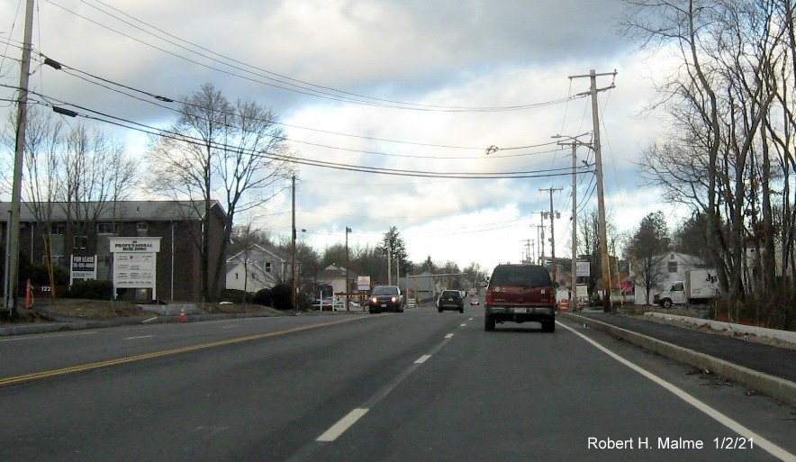
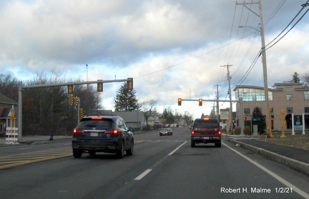
Four lanes, and here 4 lanes and a left turn lane, now open
along Route 18 headed south at the Shea Blvd/Union Point entrance.
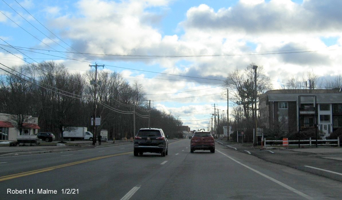
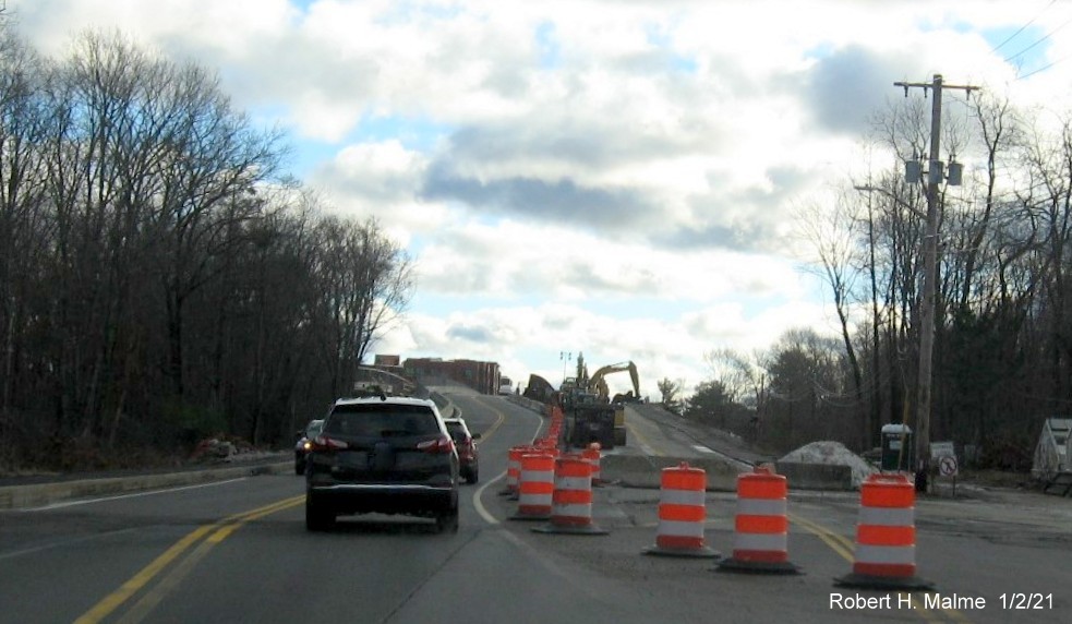
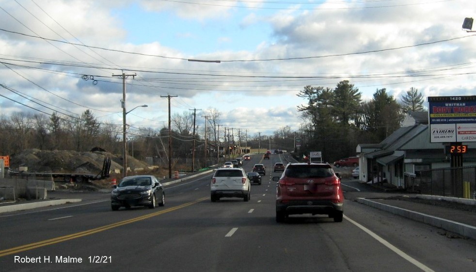
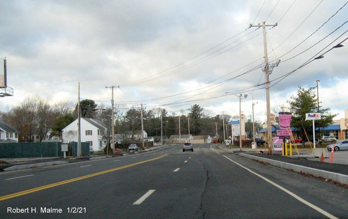
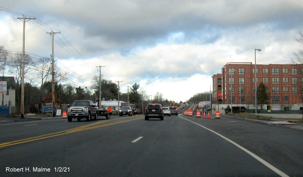
Four lanes continuing south of the Shea Blvd/Union Point
entrance.
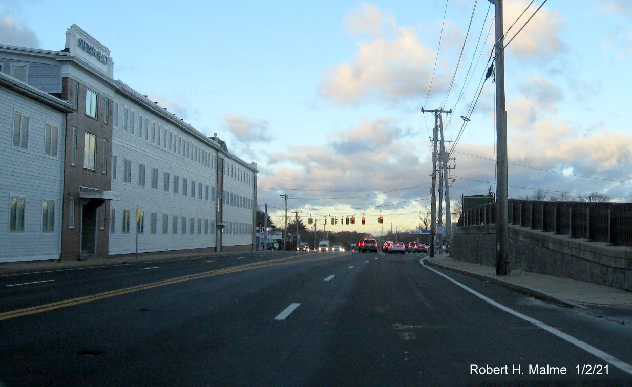
The four lanes are about to end as we approach the still under
construction commuter railroad bridge.
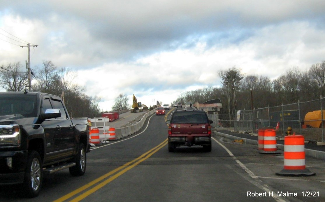
Traffic has now been shifted to the future north lanes approaching
the commuter railroad bridge.
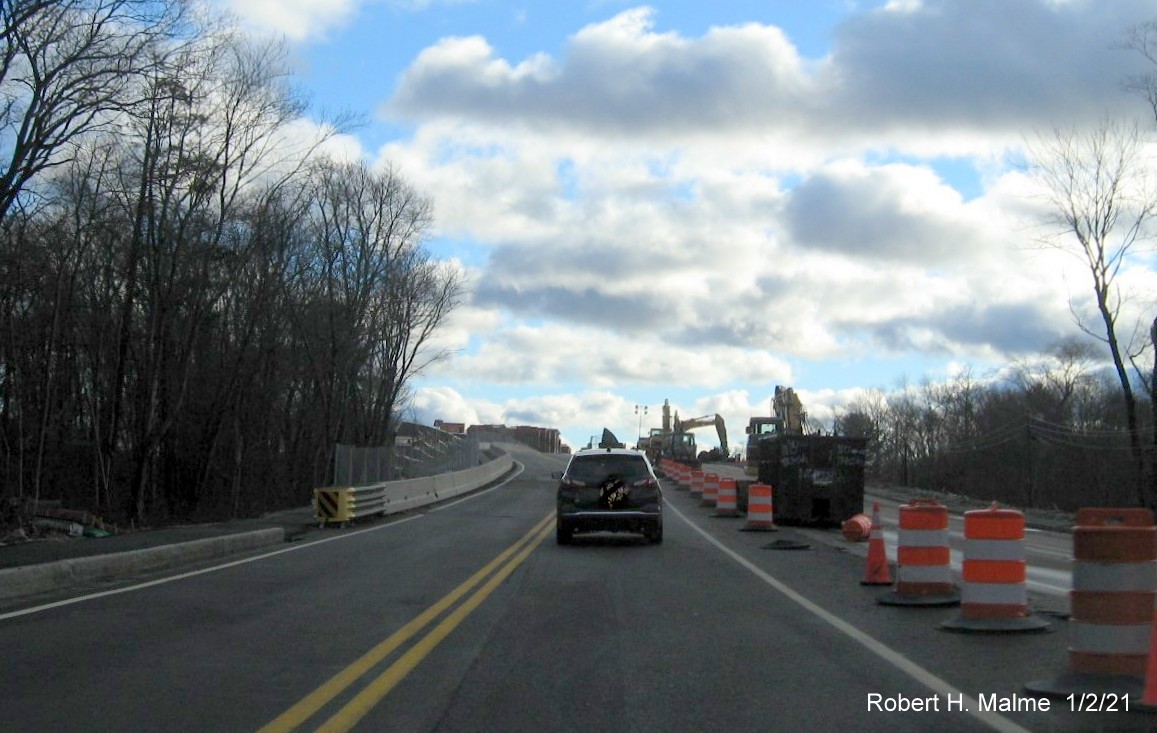
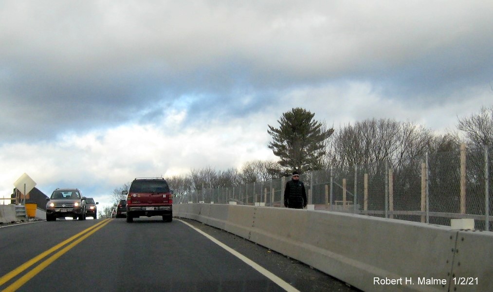
Proceeding on the commuter railroad bridge with construction going
on in the future south lanes.
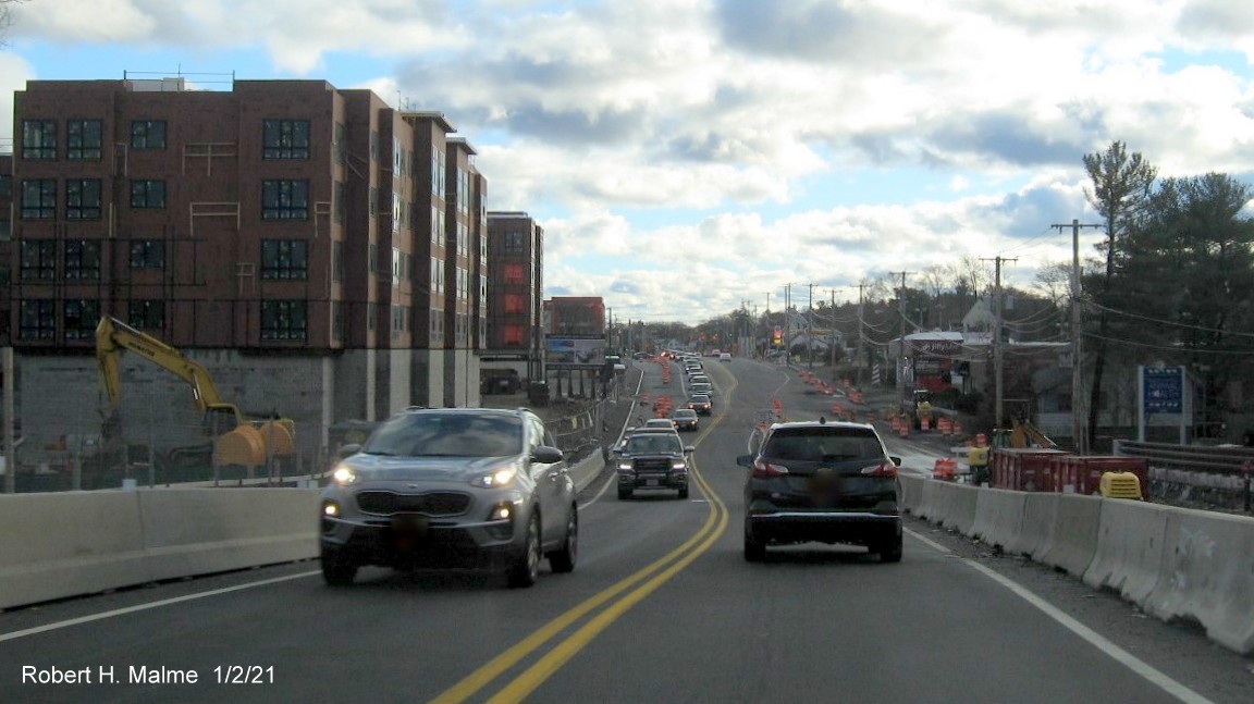
Looking south from the top of the commuter railroad bridge.
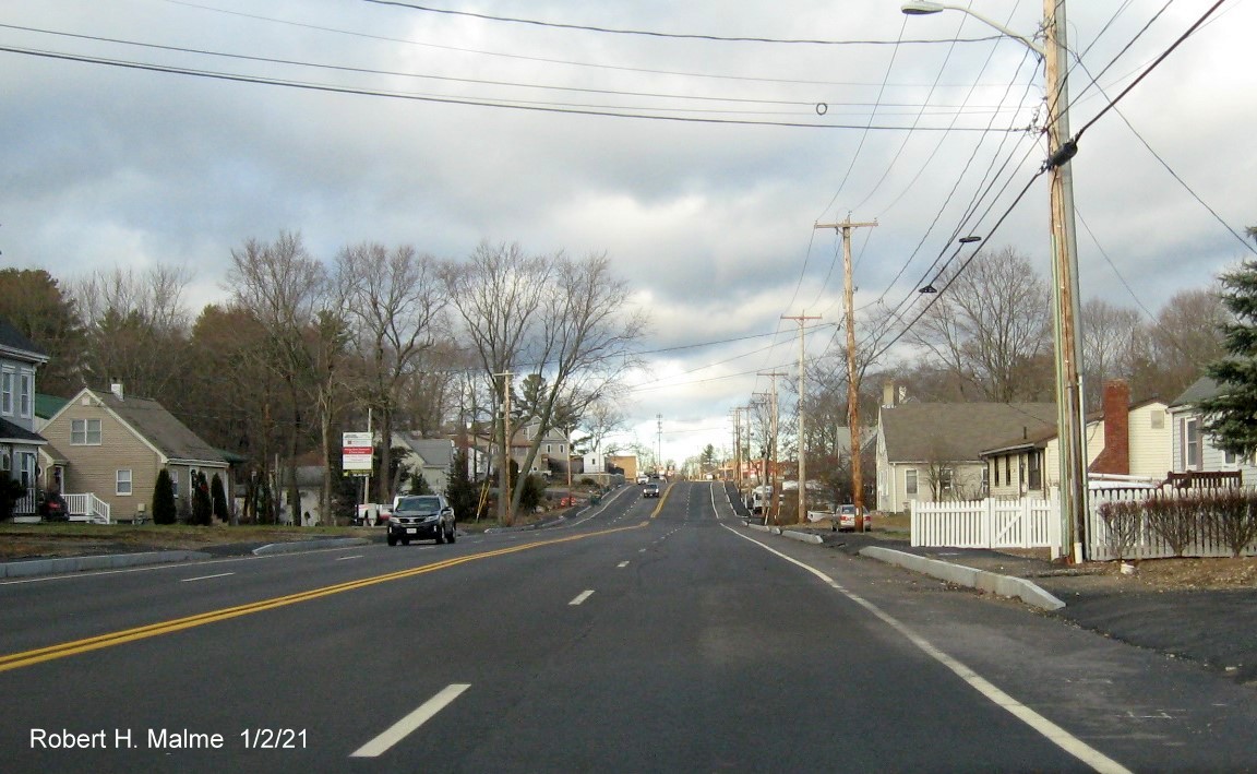
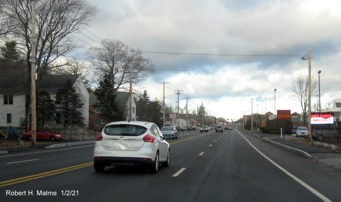
The four lanes begin again as Route 18 approaches Trotter Road.
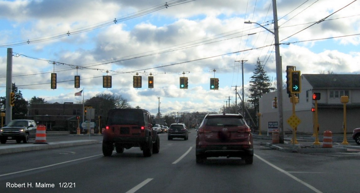
Scene of widened
Route 18 at the intersection with Route 58 heading toward Abington.
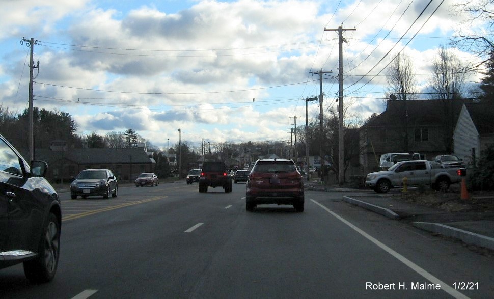
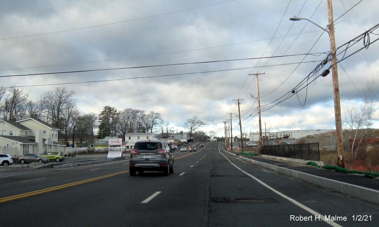
The fully widened roadway after Route 58 heading towards
Abington.
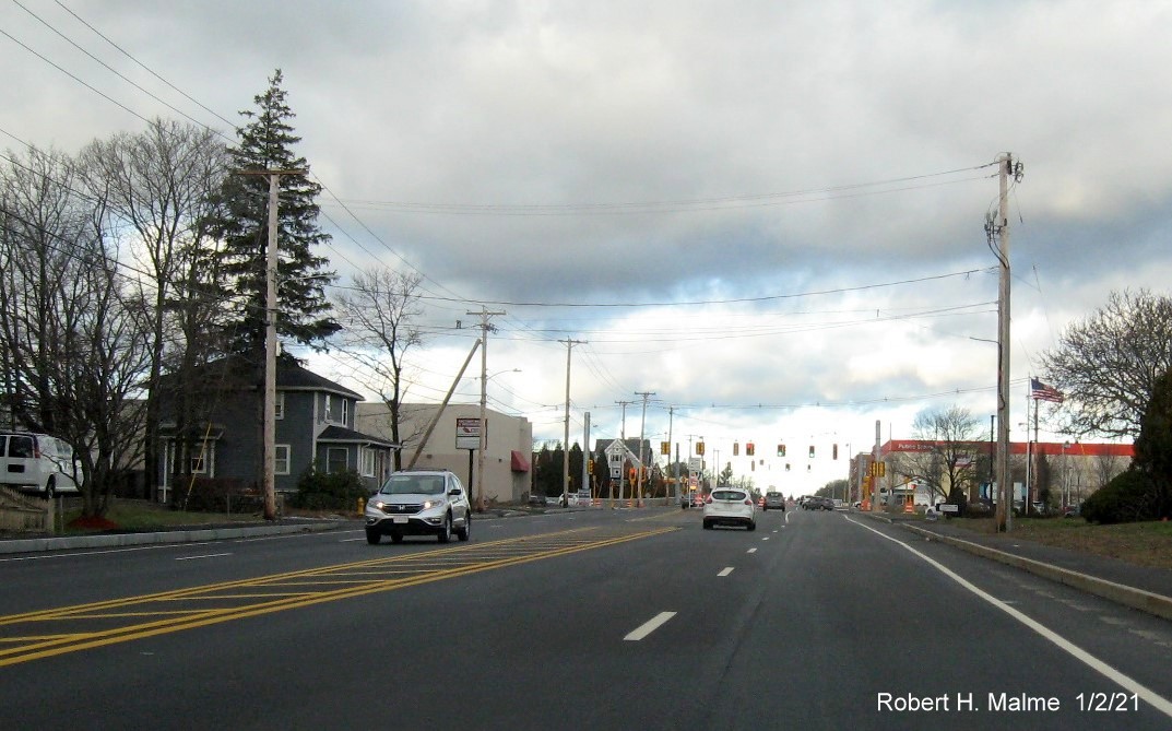
Still heading towards Abington, the roadway here appears to have
its final pavement.
Now across the line into Abington, the roadway here would get
another layer of pavement in the spring.
Widened 4-lane roadway in Abington, another pavement layer and
landscaping were still needed here.
Now heading back north from Route 139:
The widened roadway passing the fire station, looking north.
The widened roadway after the Abington Ale House, the right lane
will benefit by a final pavement layer.
Getting closer to the Weymouth border, a final pavement layer still
needed to improve the right lane.
The newly widened roadway about to cross into Weymouth.
Heading back towards the Route 58 intersection along the first
completed section of widened roadway.
Approaching the Route 58 intersection and added left turn only
lane.
Traffic barrels still in the concrete median between the Route 58
and Trotter Road intersections.
Two lanes reduce back to one to cross the again over the commuter
railroad bridge.
Traffic squeezing over to cross the commuter railroad
bridge.
The have completed a temporary sidewalk along the northbound lanes
which meets up with the permanent one by the commuter rail parking lot.
Looking from the top of the bridge as the two lanes increase again
to 4 at the bottom of the bridge.
Entering the widened section of Route 18 North after the commuter
railroad bridge.
The recently widened Route 18 roadway between the commuter railroad
bridge and Shea Blvd.
Stopping for the light at Shea Blvd, still need a final pavement
layer here. Now skipping to the northern end of the project...
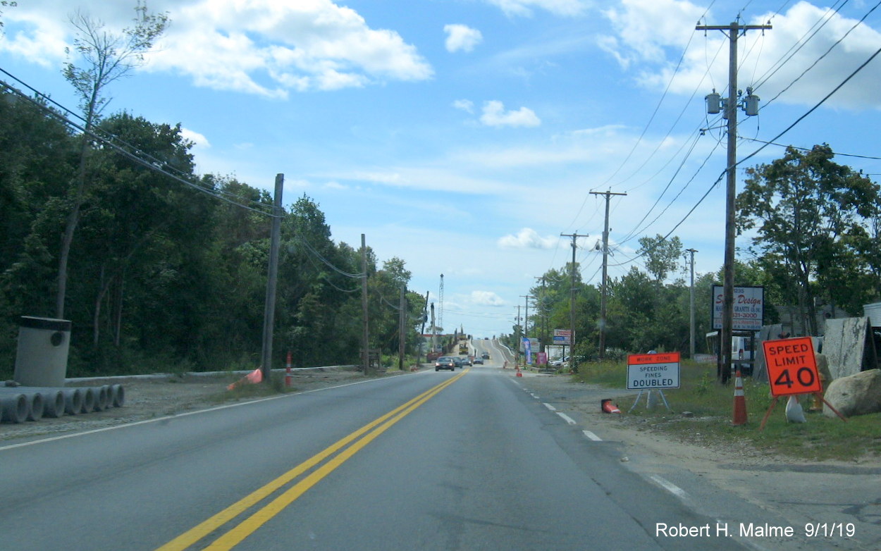
The recently widened Route 18 roadway at the end of the former 2-lane
section near Middle Street, the sidewalk still needs to be completed and a final pavement layer applied.
The northern end of the Route 18 widening project at Middle Street,
the interchange with Route 3 is down the hill after the traffic light.
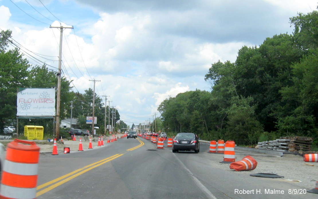
2020 Photos
Taken in mid-November 2020. Heading north from Route 139 in Abington
to Pleasant Street in Weymouth:
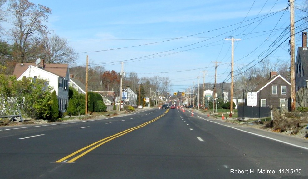
The widened roadbed has received a final layer of pavement and all
lanes are now open from Route 139 to just short of the fire station.
Only 1 lane is open from here to the Weymouth line restricted by
cones or orange barrels, some landscaping work remains.
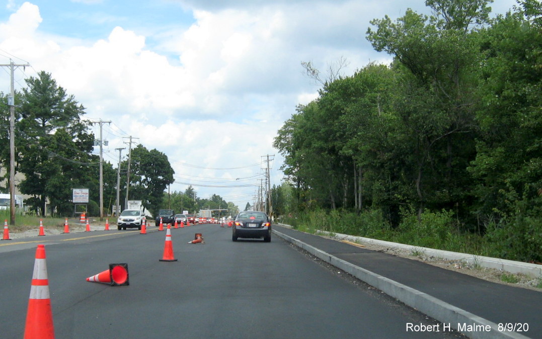
Line painting is complete with more landscaping work needed to be
done heading up hill towards the Abington Ale House.
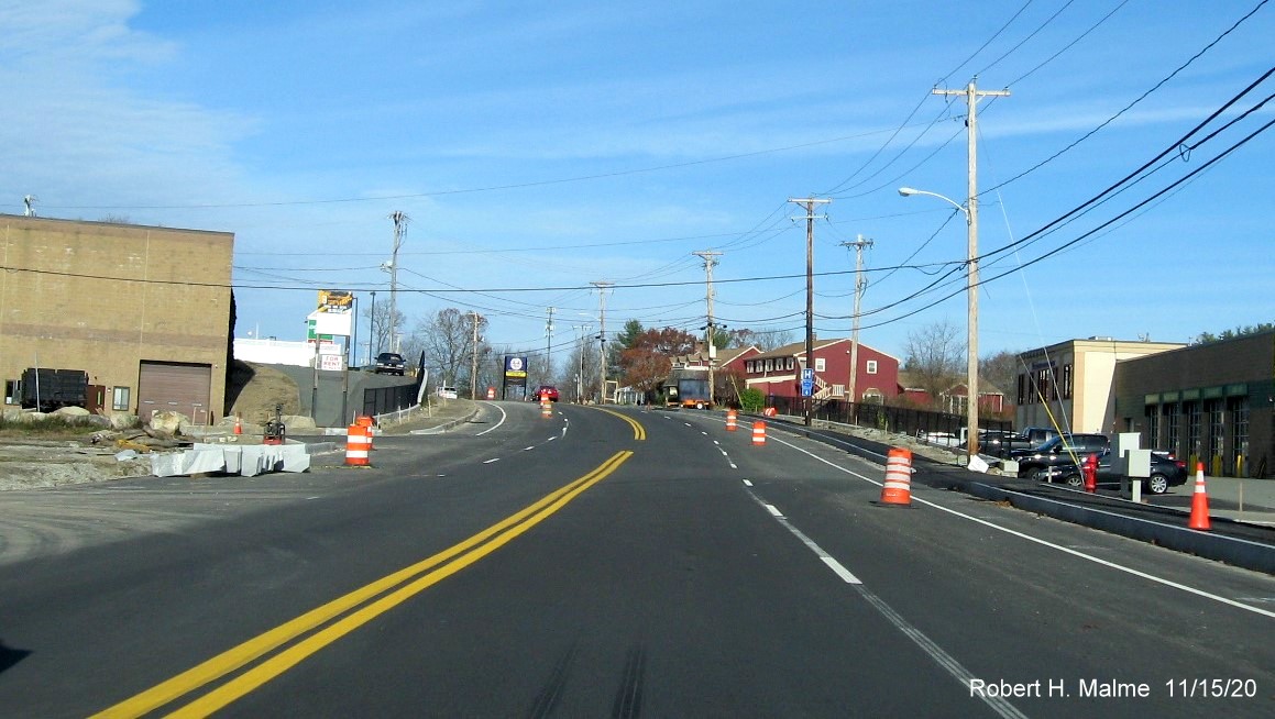
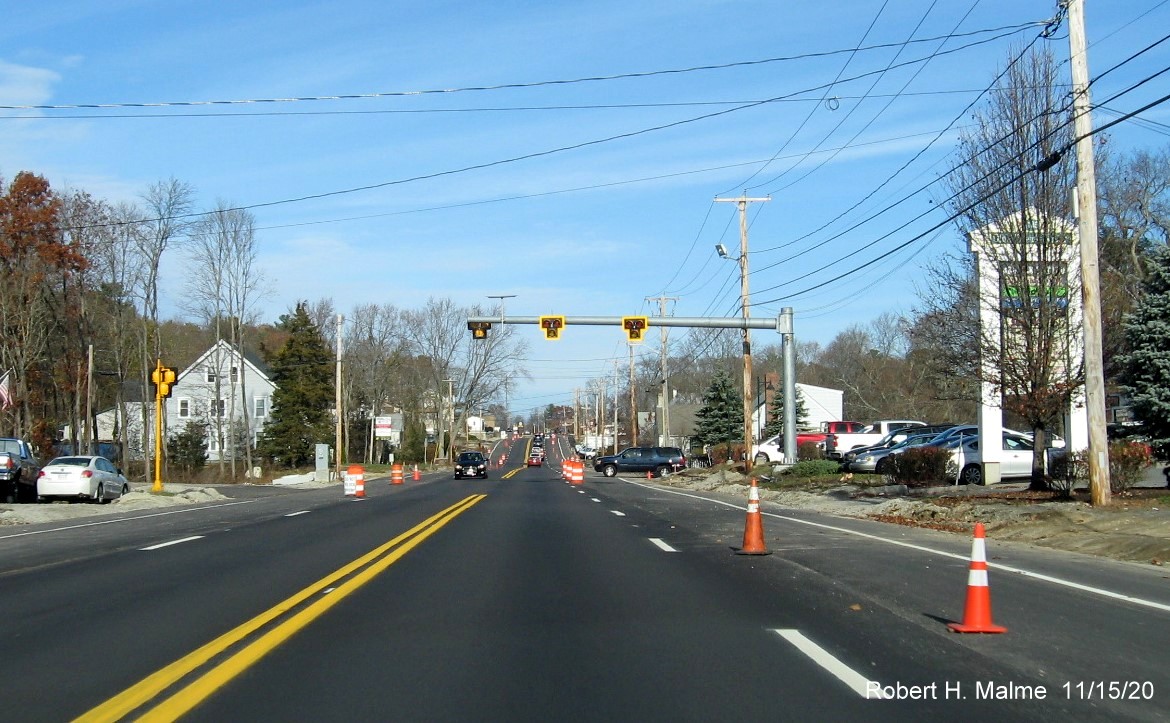
Some final curbing work needs to be completed before final line
painting can be done near the top of the hill.
Work appears near completion along Route 18 between the Abington
Ale House and the Weymouth town line, including newly paved sidewalks.
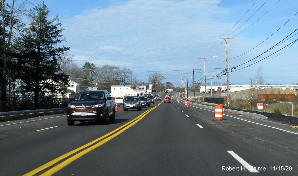
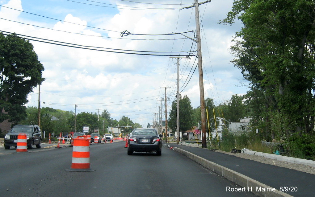
Same appearance heading north as get closer to the Weymouth
border.
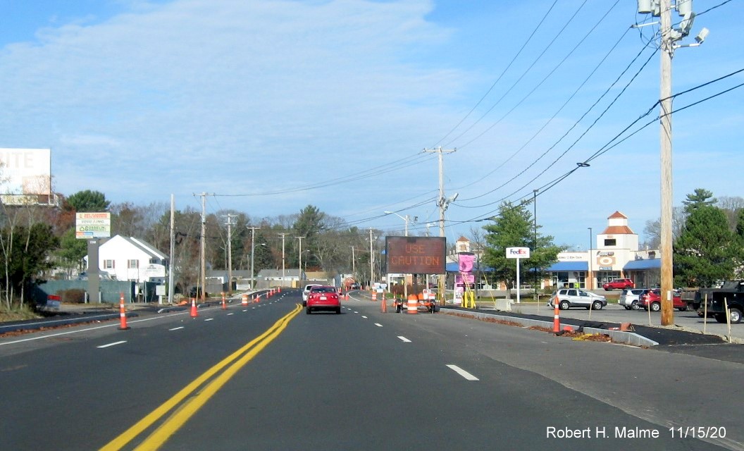
The widened roadway at the Abington/Weymouth border, portable VMS
with "Use Caution" text concerns driving in a construction zone, but could be applicable to driving Route 18 at any
time.
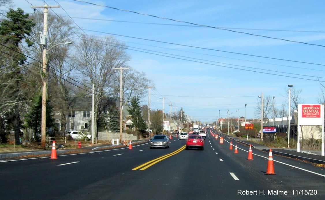
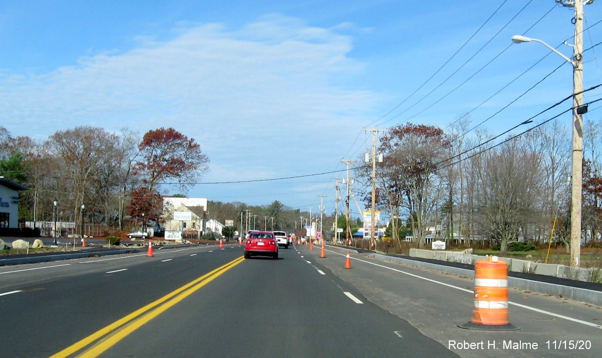
Now in Weymouth, the Route 18 roadway more recently paved and lanes
painted, though the new lanes are also restricted by traffic cones and barrels.
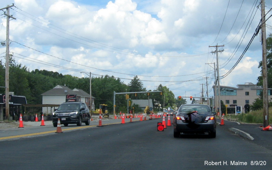
Approaching the Route 58 intersection, road widens further to
accommodate a left-turn only lane.
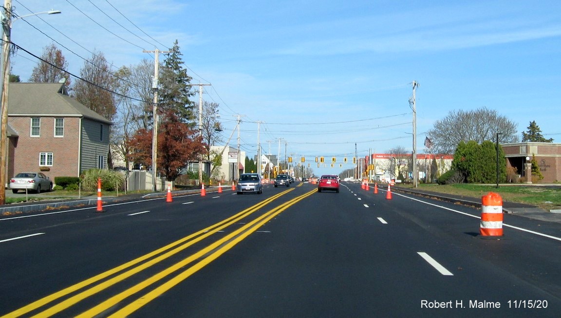
Now past the Trotter Road intersection headed towards the commuter
railroad bridge where traffic narrows back to one-lane in each direction.
That is because work on the bridge continues and all traffic must
use what will be the southbound side of the bridge.
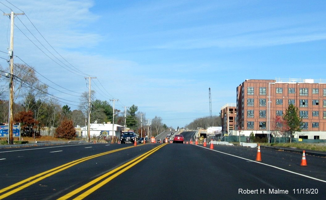
Looking north from the top of the bridge towards the nearly completed
widened roadway on the other side.
After the bridge the southbound lanes have been re-striped, but not
those for Route 18 North.
Heading further north, it appears work on southbound lanes is
complete, waiting the lane re-striping of Route 18 North.
Lanes southbound have been repainted to allow for a left turn only
lane to Shea Blvd, on the other side of traffic signal.
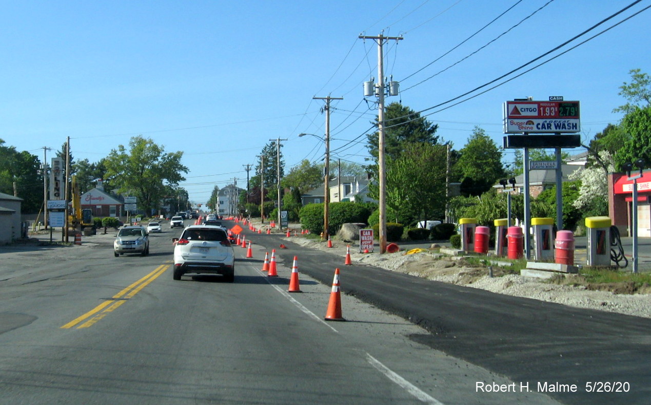
Four lanes of traffic now open along Route 18 North after the 99
Restaurant, southbound waiting for remaining sidewalk paving to be complete across from the Citgo station.
All lanes are now open approaching the Pleasant and Pond Streets
intersection in South Weymouth.
The newly opened 4-lane Route 18 south of Pleasant/Pond Streets
meets the existing 4-lane section to the north.
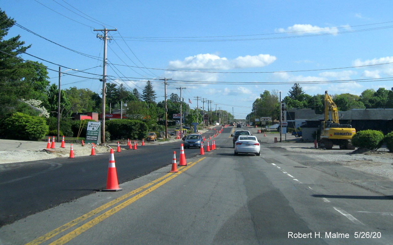
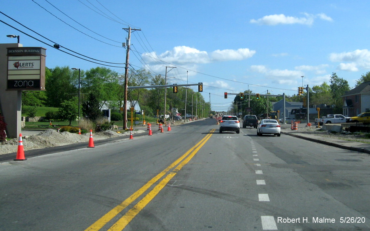
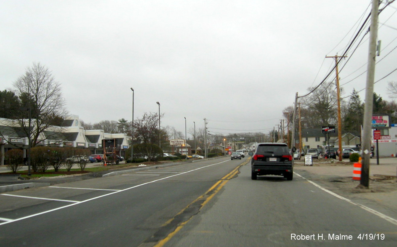
Photos taken in September 2020. Heading north in Abington:
Progress seen
heading north in Abington with future southbound lane now paved along
with northbound lane.
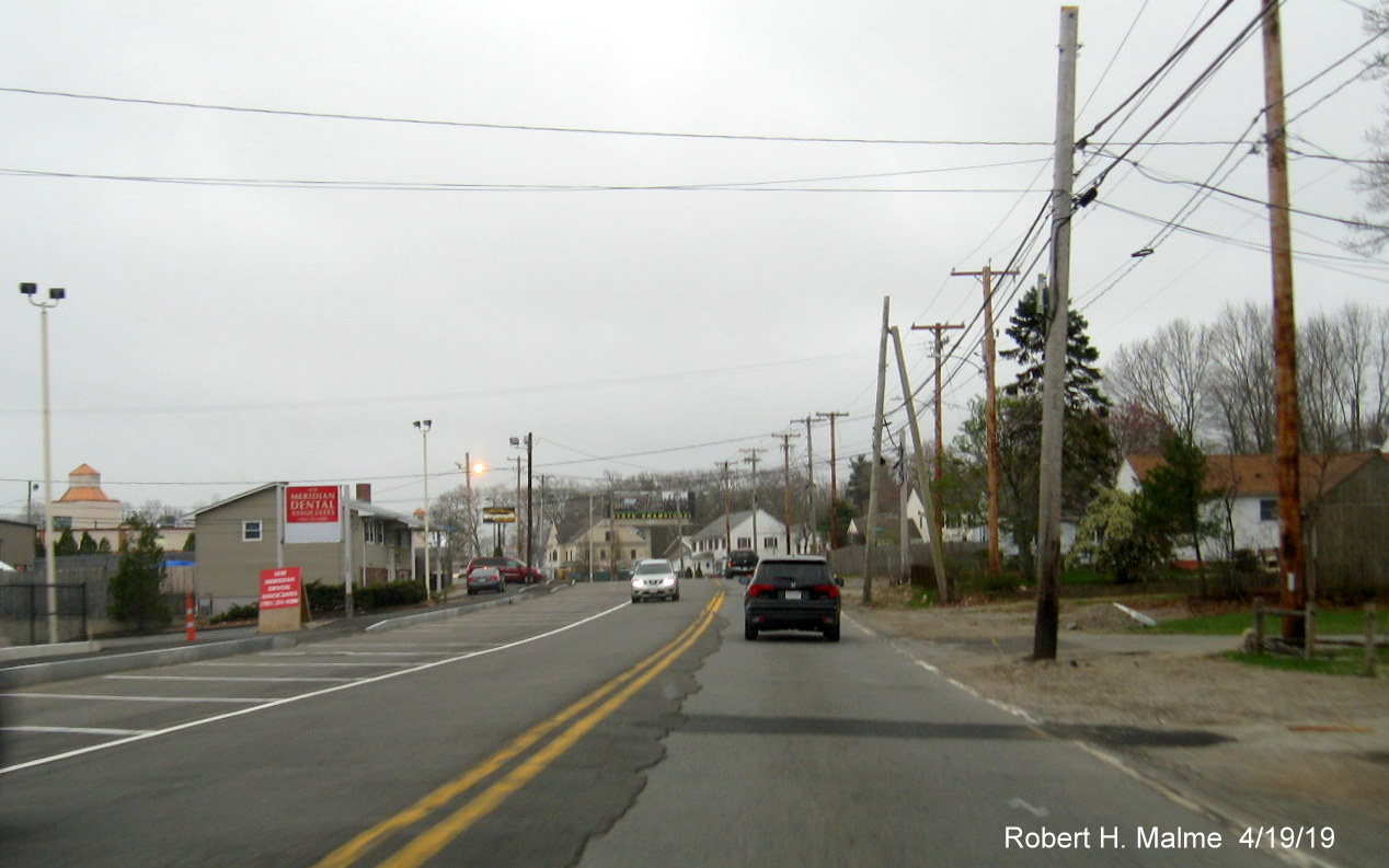
The newly paved
Route 18 South lane continues toward the curve at the Abington Ale
House.
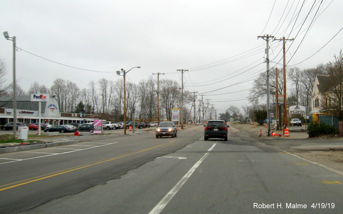
Future lanes on
both sides now paved beyond Abington Ale House heading north toward
Weymouth.
Curbing has now
been installed along both sides of the highway as the route approaches
the Abington/Weymouth border.
Approaching the
Weymouth line, work still needs to be done to install curbing along the
northbound lanes.
The newly paved
lanes end at the Weymouth line where the Route 18 North roadway was
previously widened. Not much progress seen up to Commuter Railroad
bridge since August, see photos below.
Heading south
starting at Pleasant Street in Weymouth
Soon after the
beginning of construction starts for the new southbound lanes prior to
the Shea Blvd./Union Point intersection.
Approaching the
Shea Blvd intersection showing grading of future south lane starting
which continues toward railroad bridge.
Which then turns
into a paved lane blocked off by cones closer to the bridge.
The paved
southbound lane continues to the foot of the bridge.
Traffic shifts to
right to go over temporary bridge while new bridge construction goes on
to the left.
View from the top
of the temporary railroad bridge showing road work and new building work
surrounding the commuter rail parking lot.
View from the
just south of of the temporary railroad bridge showing start of newly
paved future south lane across from commuter rail parking lot.
Approaching the
intersection with Trotter Road with the new pavement of the future
southbound lane continuing.
View southbound
after the Route 58 intersection of the paved new lane and curbing
heading towards Abington.
The paved new
lane and curbing continues along the future south lane, only near the
Abington town line.
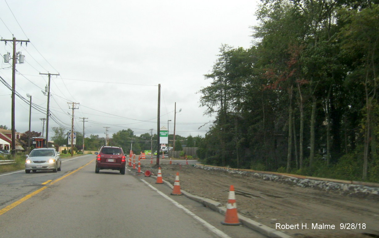
New pavement
starts again along southbound Route 18 after crossing into Abington.
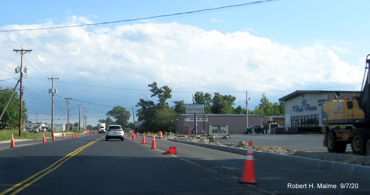
New pavement and
curbing continue along southbound Route 18 in Abington.
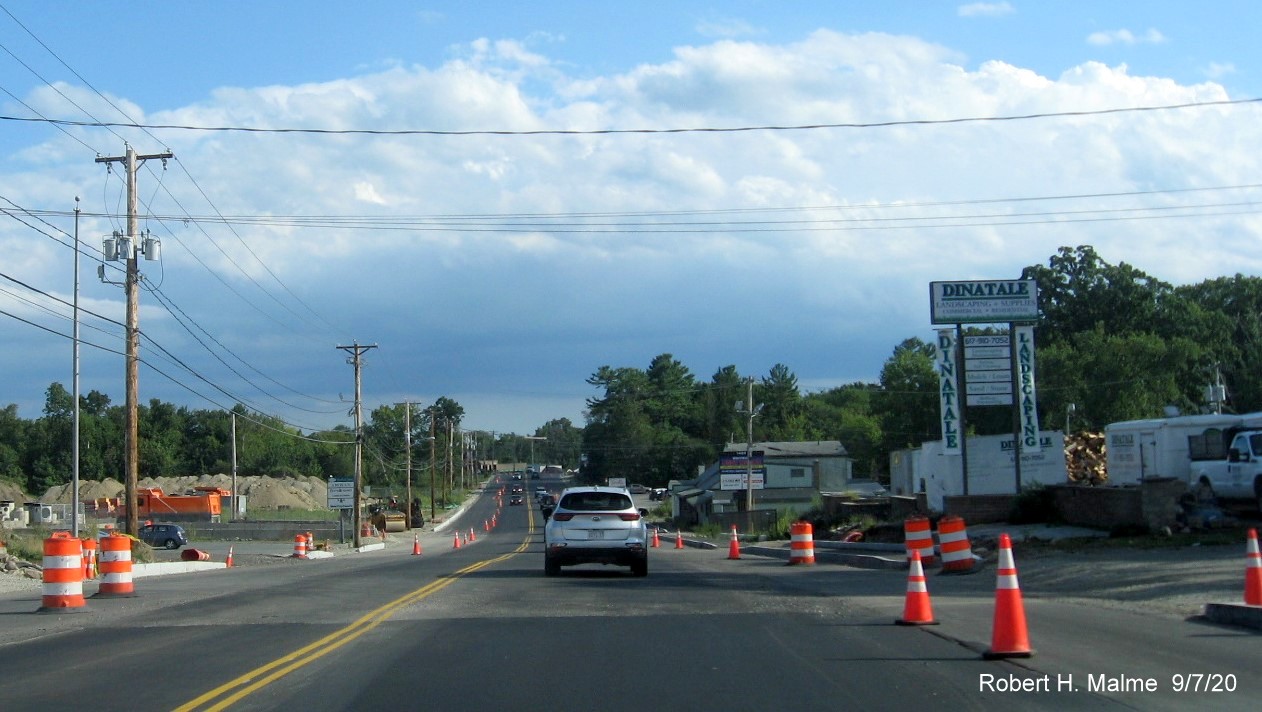
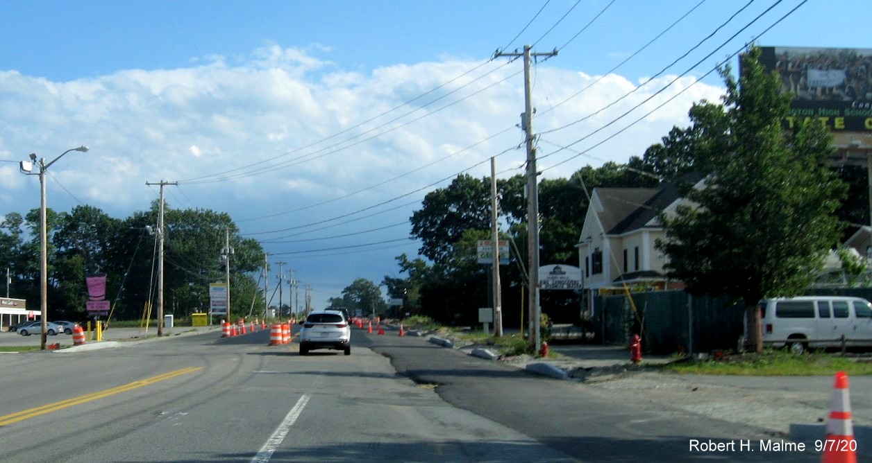
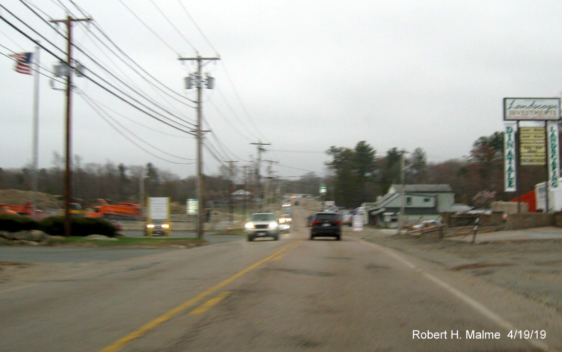
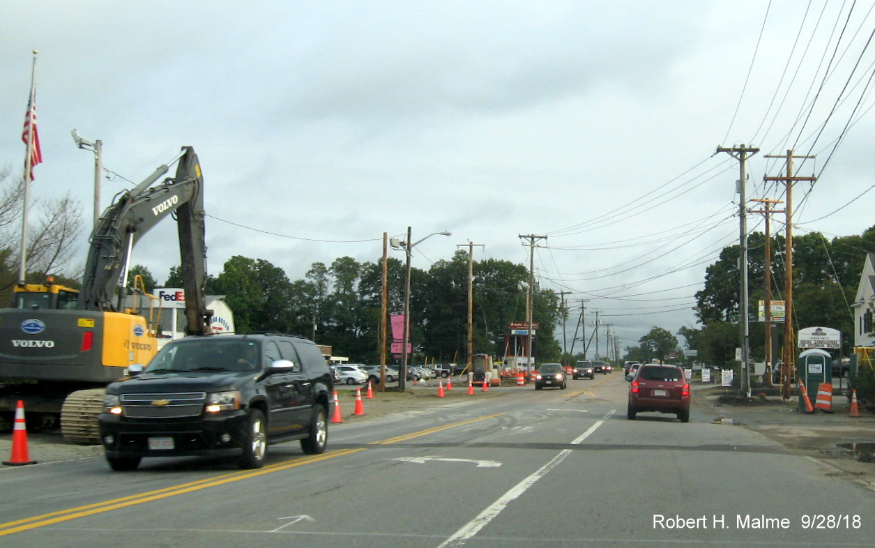
Curbing completed
along both sides of Route 18 starting at the DiNatale Landscaping Co. in
Abington, though new pavement of existing lanes temporarily ends.
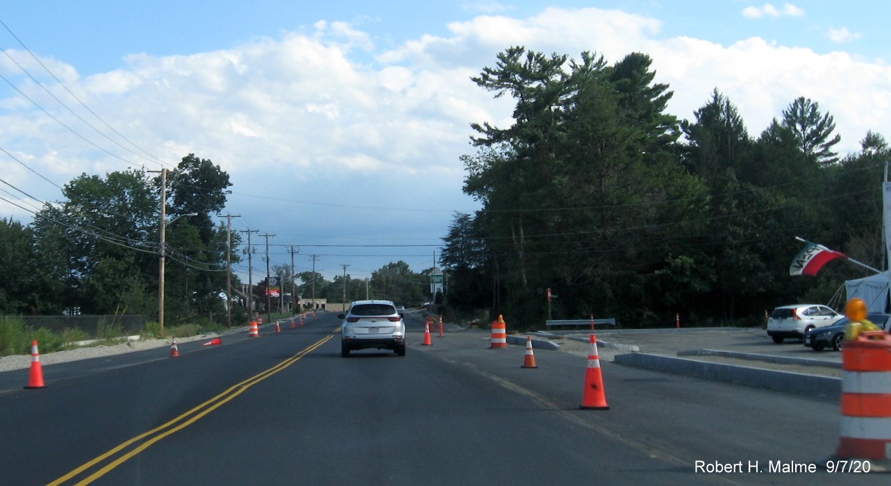
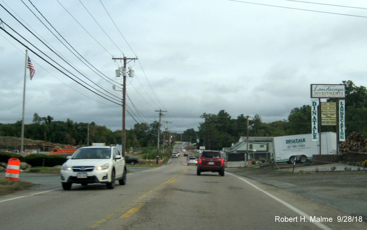
New pavement
starts again approaching the Abington Ale House, though no curbing
northbound again.
New pavement ends
along Route 18 after the curve following the Abington Ale House.
The existing
pavement returns along southbound Route 18 until the Route 139 intersection.
Photos taken in August 2020:
A new overhead
set of traffic signals has been placed just north of Route 139 in
Abington for the fire station, little other widening progress seen at
the very southern end of the project.
The new northern
lane has been paved starting north of the fire station.
The paving of the
future new northern lane continues up the hill toward the Abington Ale
House. No new progress heading south.
The paving of the
future new northern lane continues after the Ale House. Note grading of
future lane heading south.
The paving of the
future new northern lane continues heading north along with south lane
grading.
Meanwhile the
deterioration of the pavement on the current lanes continues.
Appoaching the
Weymouth line, the southbound future lane is paved as well along with
the installation of new curbing.
The paved and
curbed southbound future lane continues, along with the paved northern
lane approaching the border.
The new pavement
comes to an end northbound at the previously completed section at the
Weymouth line.
However, the
placement of curbing and new pavement continues along Route 18 South
heading toward the Route 58 intersection.
The new pavement
expands to cover the entire South Route 18 lanes approaching Route 58.
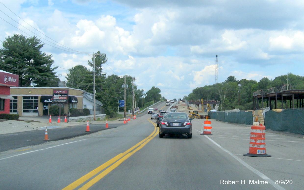
More paving along
the future Route 18 South lane approaching the commuter railroad bridge,
steel supports have been placed on the bridge for the future northbound
lanes.
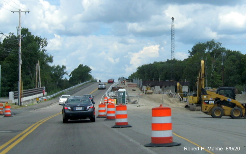
A closer look at
the steel structure now in place for the right side of the commuter
railroad bridge.
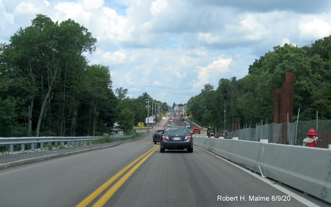
Looking north
from the top of the railroad bridge showing traffic using widened
section of Route 18.
Traffic heading
north transitioning to new lanes after the commuter railroad bridge,
notice grading along the southbound roadway.
Curbing has been
completed and new sidewalk paved north of the railroad bridge heading
toward the intersection at Shea Boulevard.
The completed
curbing and sidewalk continues toward Shea Boulevard, traffic still
restricted to one lane this direction by traffic barrels.
The paved and
widened Route 18 North lanes at Shea Boulevard/Union Point Development.
The sidewalk
transitions to concrete at the entrance to Union Point and continues as paved after the intersection.
The new paved
northbound roadway, sidewalk and curbing continue after the Shea Boulevard intersection.
New pavement
stops and work on the new sidewalk has not been completed further north in the vicinity of the 99 Restaurant.
Looking north
towards the Pleasant Street/Pond Street intersection with widened
northbound lanes paved but sidewalk work continuing.
Work has just
started on installing curbing approaching the Pleasant Street intersection.
The paved widened
northbound lanes continue to the Pleasant Street intersection.
Earlier Photos
Taken of paving
along Route 18 North between Railroad Bridge and Pleasant Street on May
26, 2020:
Heading south
after Pleasant Street showing some paving in current northbound lane, if
not future lane.
Approaching
intersection with Shea Blvd. at entrance to Union Point, more paving
completed after intersection, see photos below.
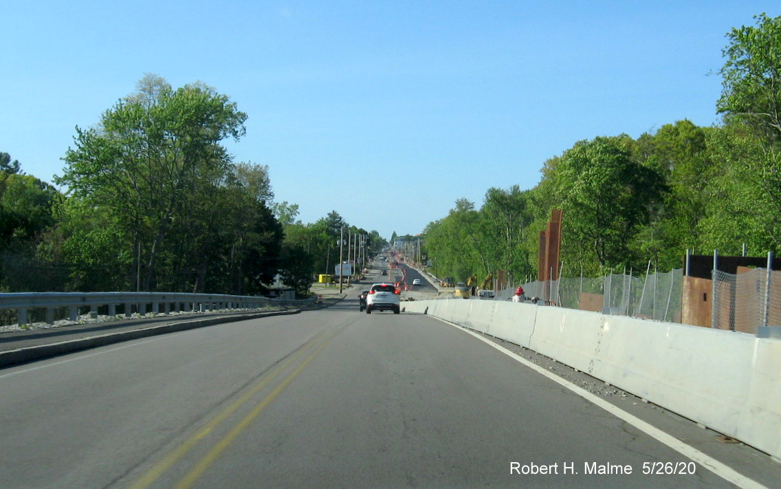
Looking north
from commuter rail bridge showing new paving along northbound lanes
after the bridge.
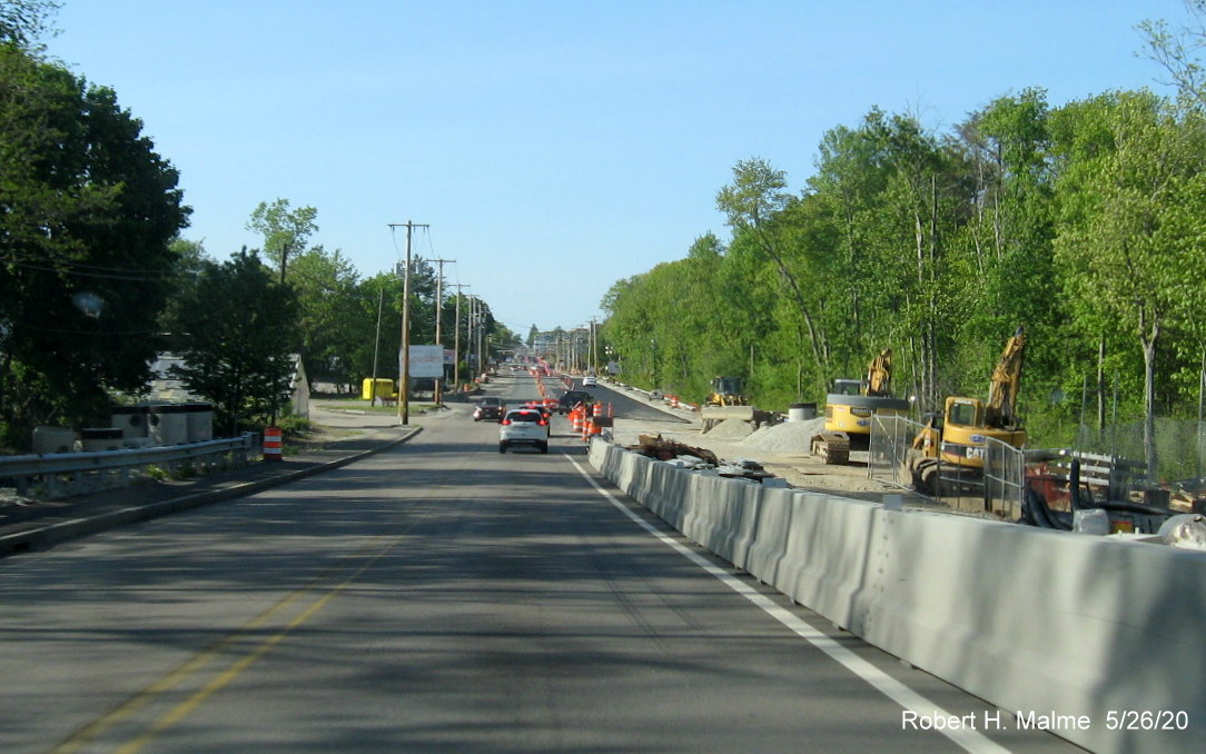
Work continues on
bridge and its approaches causing Route 18 North traffic to shift to
right onto newly paved lanes after the bridge.
Traffic now using
new right most northbound lane as work continues along the right
shoulder to include the installation of curbing.
Newly paved
northbound lanes continue until intersection with Shea Boulevard, see
photo at top of section.
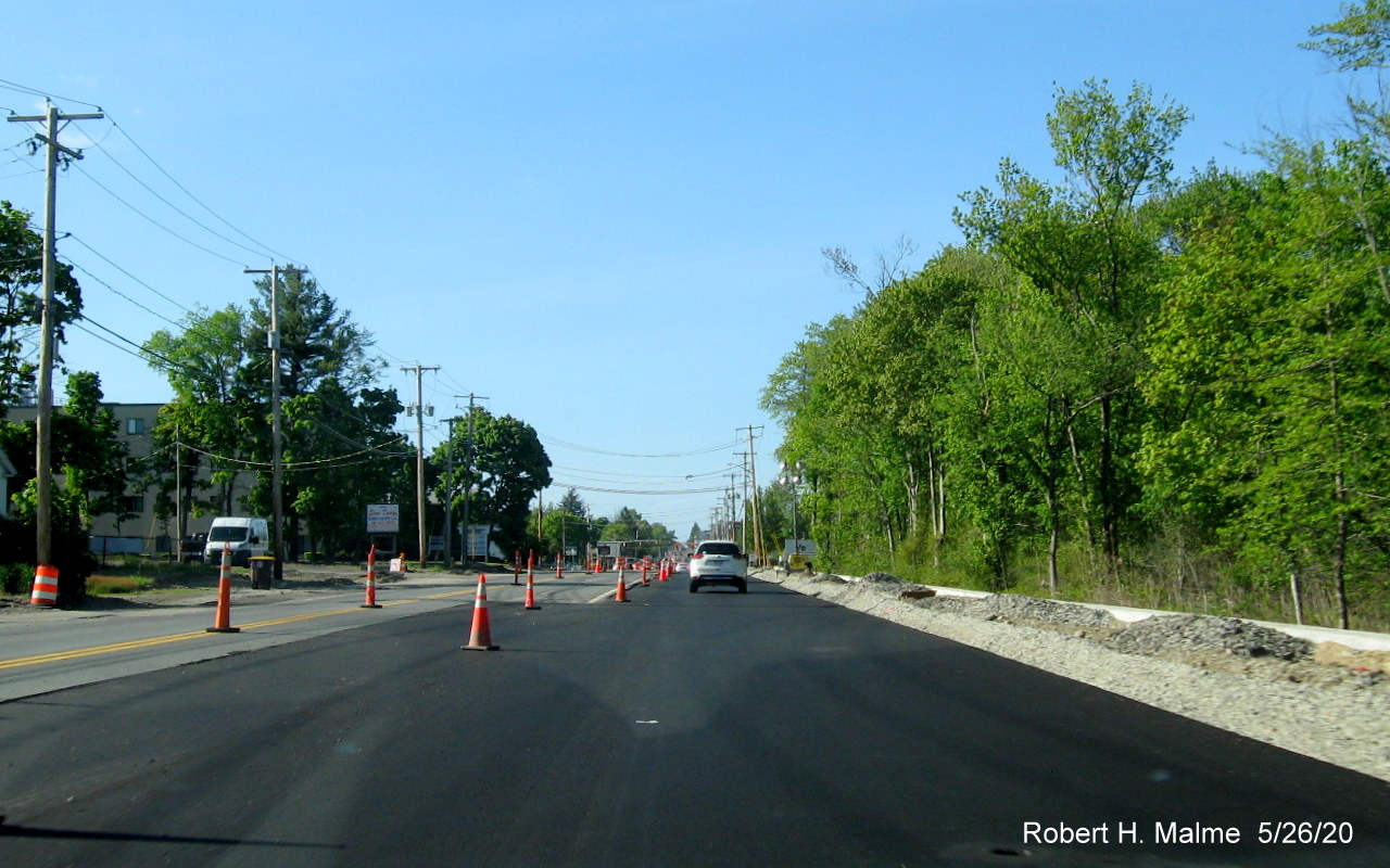
A closer look at
the end of the northbound lane full paving at Shea Boulevard.
North of Shea
Boulevard the new pavement is restricted to the right most side of the
Route 18 North lanes.
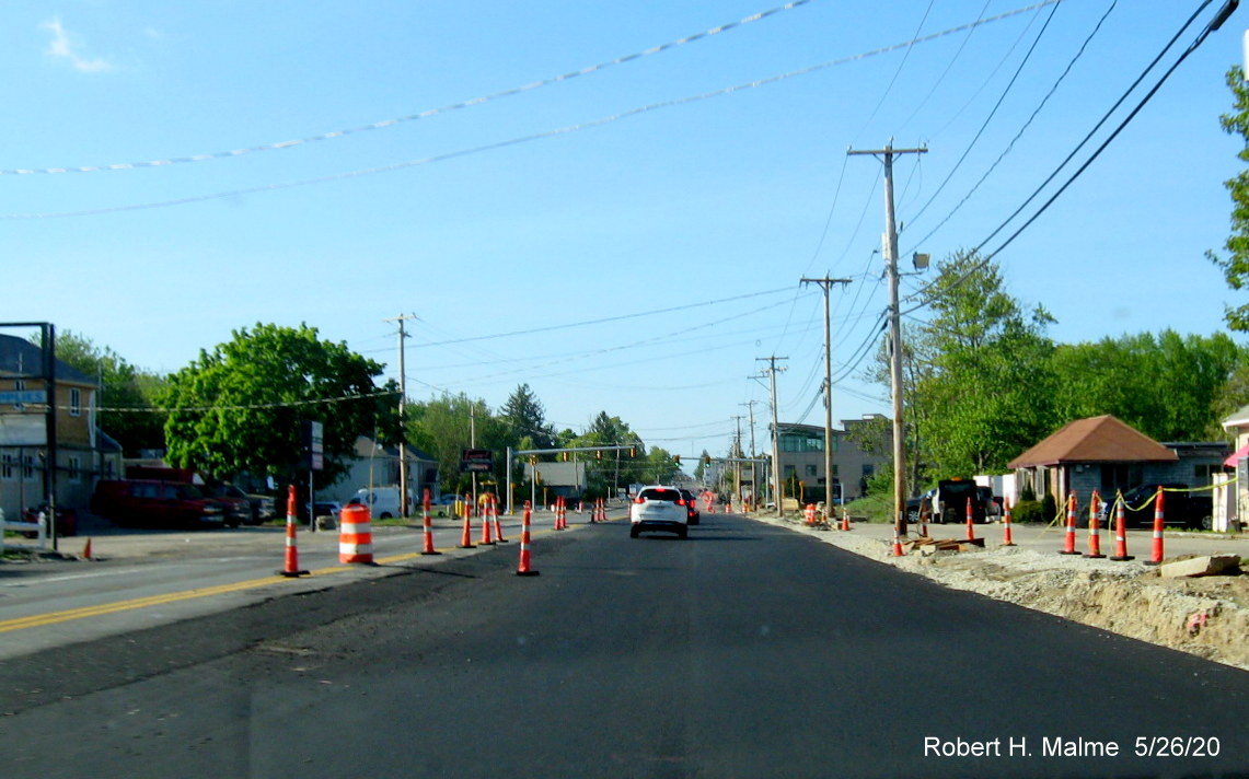
The Bump advisory
sign indicates a widened area of new pavement between the 99 Restaurant
and the Citgo station.
Paving of the
future northbound lane continues with pavement encompassing all the
northbound lanes after the station to just before Pleasant Street.
Previous Photos
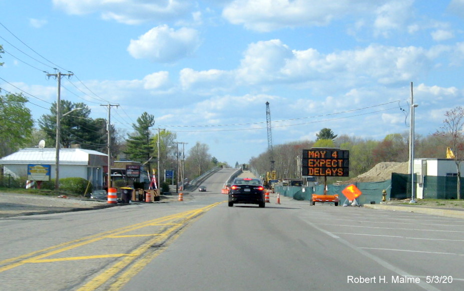
Taken along Route
18 North the entire length of the widening project work zone on May 3,
2020:
Little progress
seen since the beginning of the year just beyond the Route 139
intersection. New utility poles are in but most of the wires are still
on the old poles.
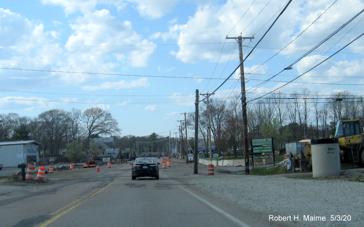
In vicinity of
fire station. Again, new poles placed bur wiring predominantly on old
poles, pavement conditions have deteriorated further along this stretch.
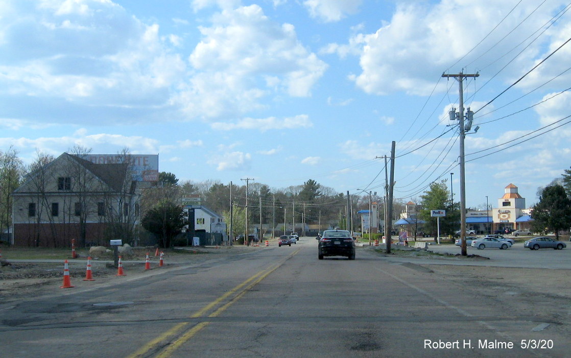
Further north
approaching the Abington Ale House, little progress seen until reach the
top of the hill.
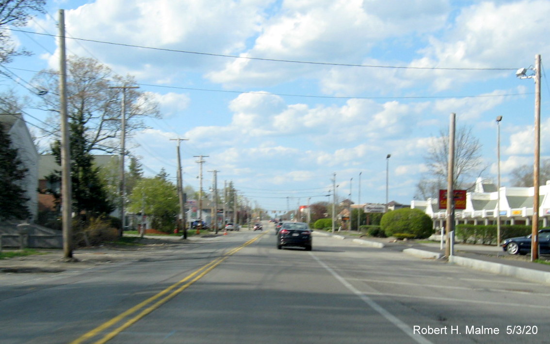
Along Route 18
North clearing of utility poles from future northbound lane still needs
to be completed for any further work to proceed.
Now past the
Abington Ale House, work is still needed to relocate utilities and
guardrail in new lane right of way.
While some of the
future northbound lane has been graded, work remains to relocate
utilities approaching the border with Weymouth.
More work has
been done to clear the southbound future lane than the one for Route 18
North at the Abington/Weymouth line.
Little progress
seen in clearing utility poles from right of way along Route 18 South,
compared to completed North lanes approaching Route 58 intersection.
VMS prior to
railroad bridge on Route 18 North warns of upcoming paving operations
north of the bridge during May.
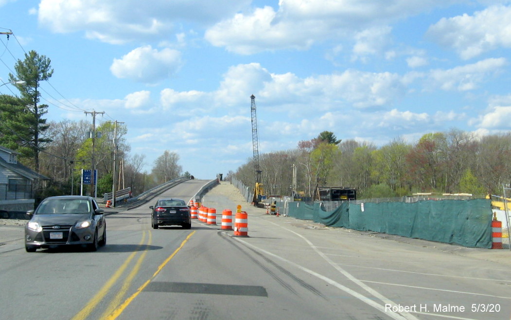
Work continues on
building the new northbound lanes on the commuter railroad bridge, after
most of the old bridge was demolished.
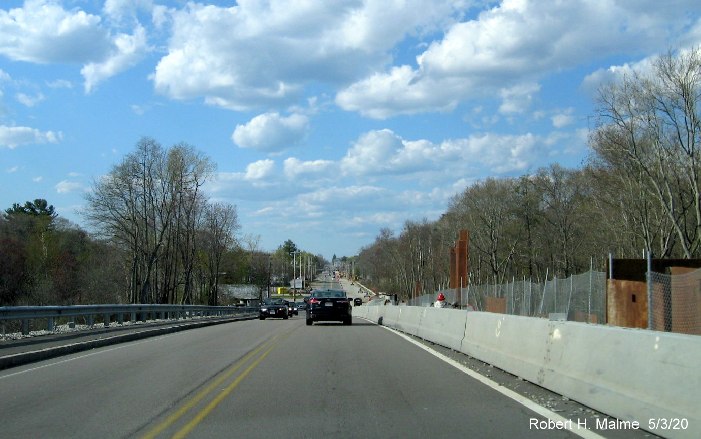
Looking north
from the top of the commuter railroad bridge showing bridge construction
ongoing.
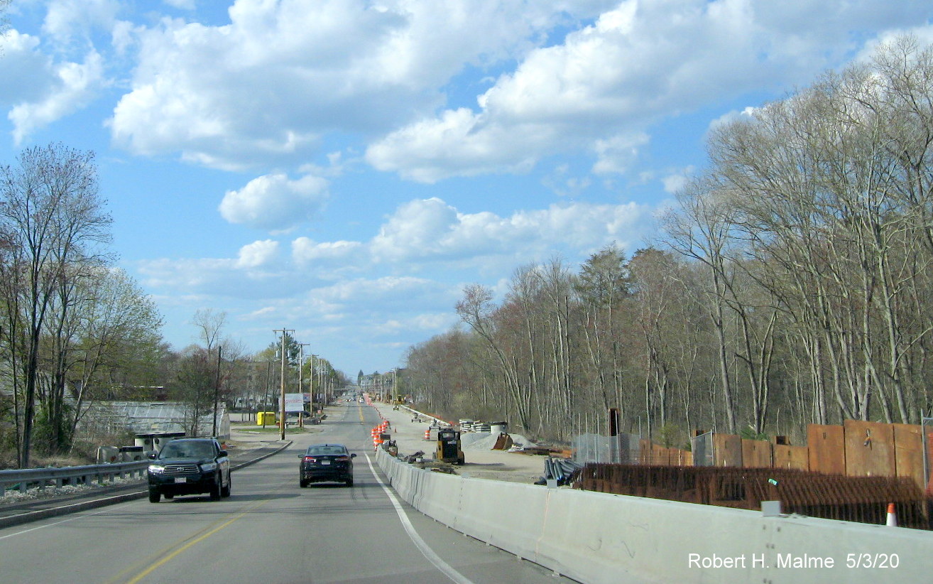
View from other
side of commuter railroad bridge showing transition to graded new Route
18 lane north of the bridge awaiting paving.
Some further work
being done along graded new lane awaiting paving further north from
commuter railroad bridge.
Further north
approaching intersection with Shea Boulevard with more graded new lane
awaiting paving.
Construction
equipment still grading future Route 18 North lane approaching between
Shea Boulevard and Pleasant Street.
More work is
needed before paving can begin on this part of the future Route 18 North
lane approaching Pleasant Street.
Concrete culverts
still need to be placed before the short section between Pleasant Street
and South Shore Hospital can be widened.
Not much progress
seen in the northern widening area between Park Street and Middle Street
since January.
New gas line
pipes are stored along the Route 18 south lanes approaching Middle
Street indicating these will have to be placed before widening work can
be completed.
Earlier Photos
Photo from early
March 2020 at the commuter rail bridge:
Looking north at
the commuter rail bridge still under construction in April 2020. Route
18 was to be closed down at night for a week in mid-April to expedite
final reconstruction. Paving of the new northbound lanes north of the
bridge is suppose to then start in late April or early May.
Earlier photos
from December 27, 2019 near commuter rail bridge:
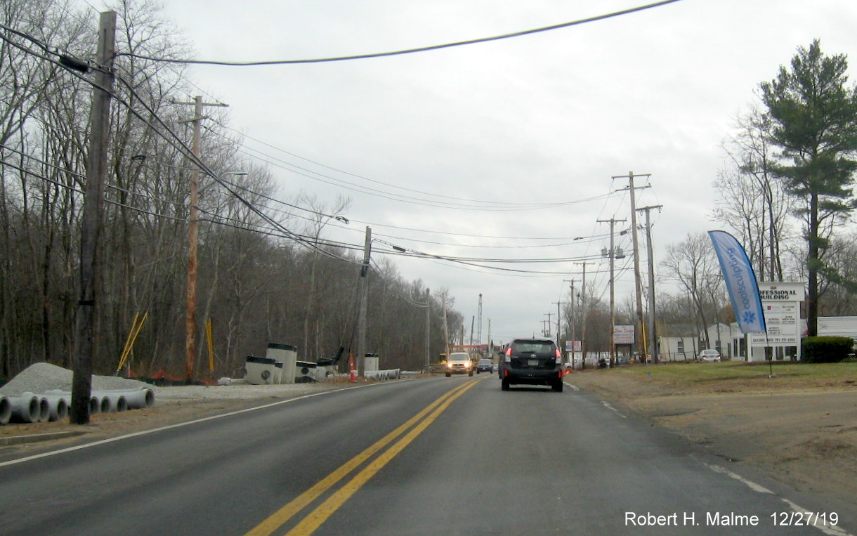
Concrete drainage
structures await placement sitting in future Route 18 North lanes to
north of bridge.
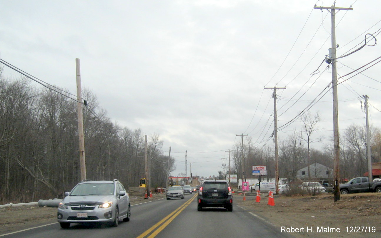
While the wires
have been moved to the new telephone poles along the southbound lanes,
the old poles still stand in the future north lanes approaching the
bridge.
Roadbed is quite
bumpy approaching the commuter rail bridge, unlikely to be fixed until
spring.
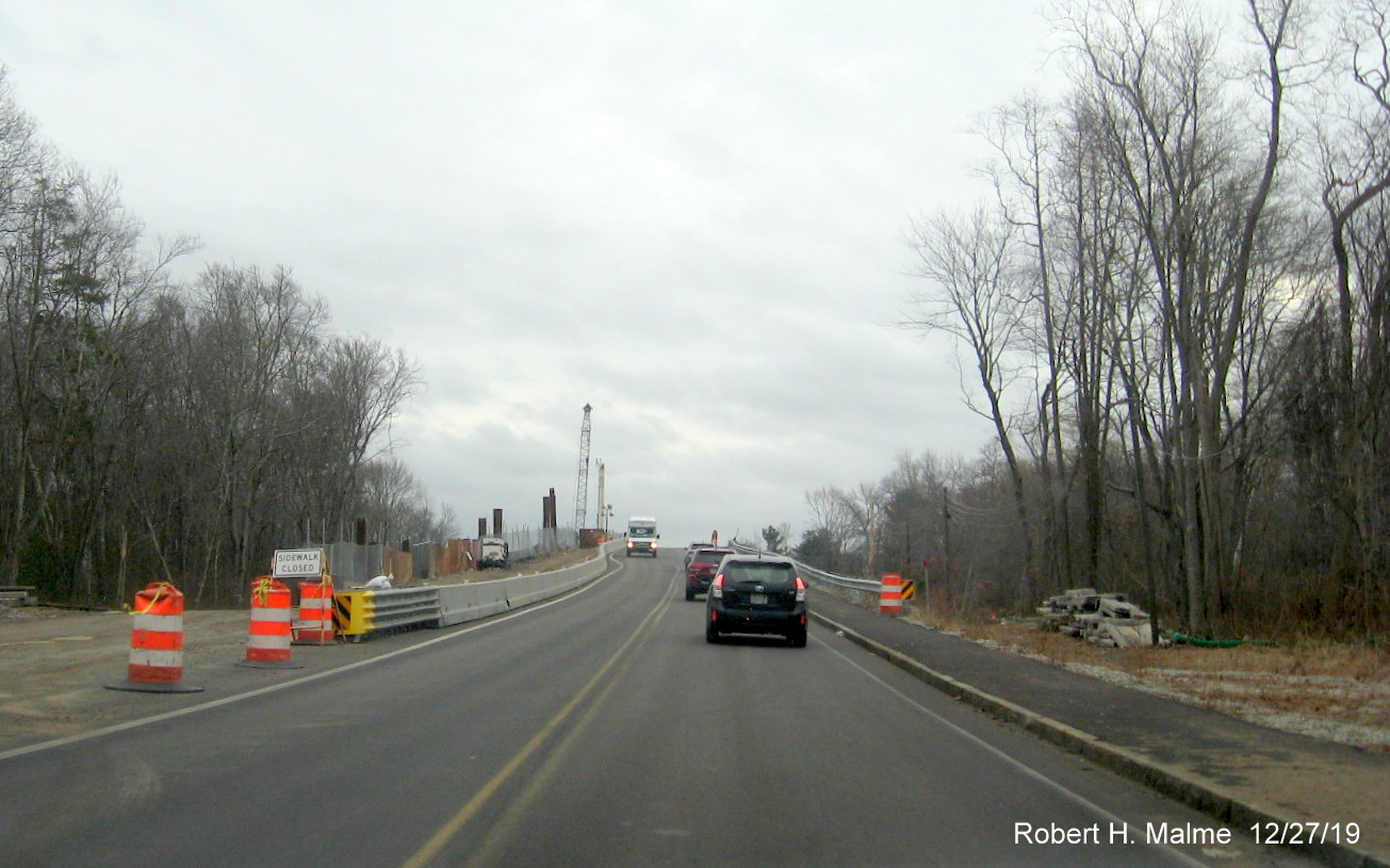
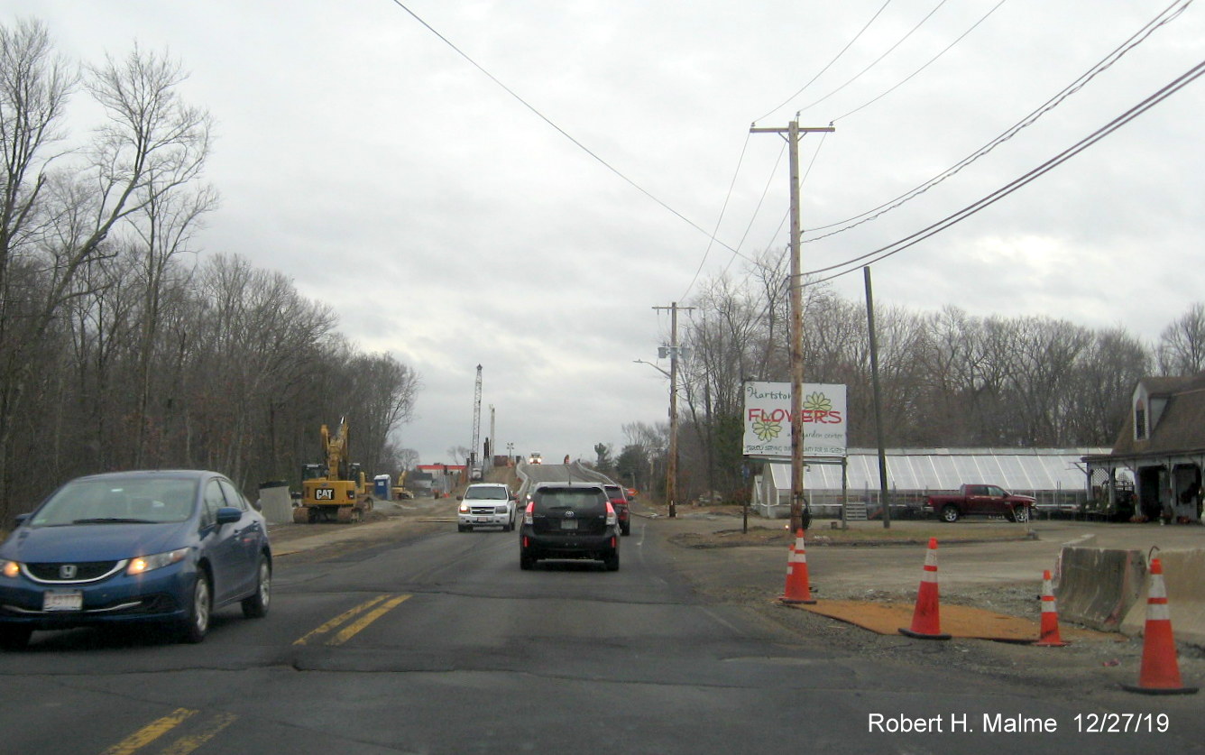
Work is
continuing to expand side of commuter rail bridge for future additional
Route 18 North lane.
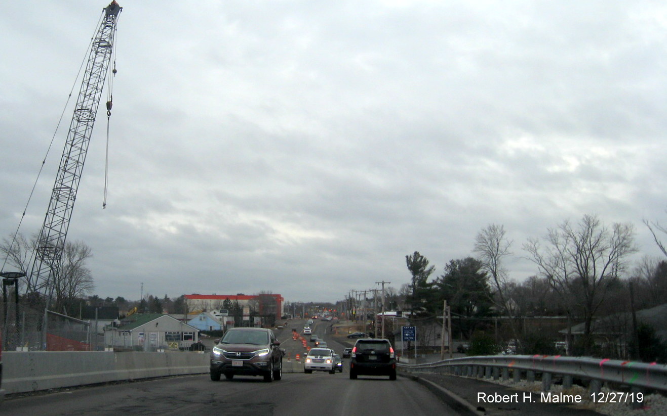
View from top of
the bridge, large crane still being used to widen east side of bridge
for additional northbound lane.
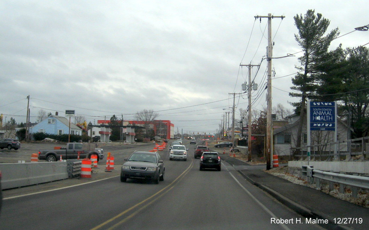
View at bottom of
south side of commuter rail bridge, not much progress in expanding paved
new lanes toward the bridge.
Photos from
December 15, 2019 at north end of project in Weymouth:
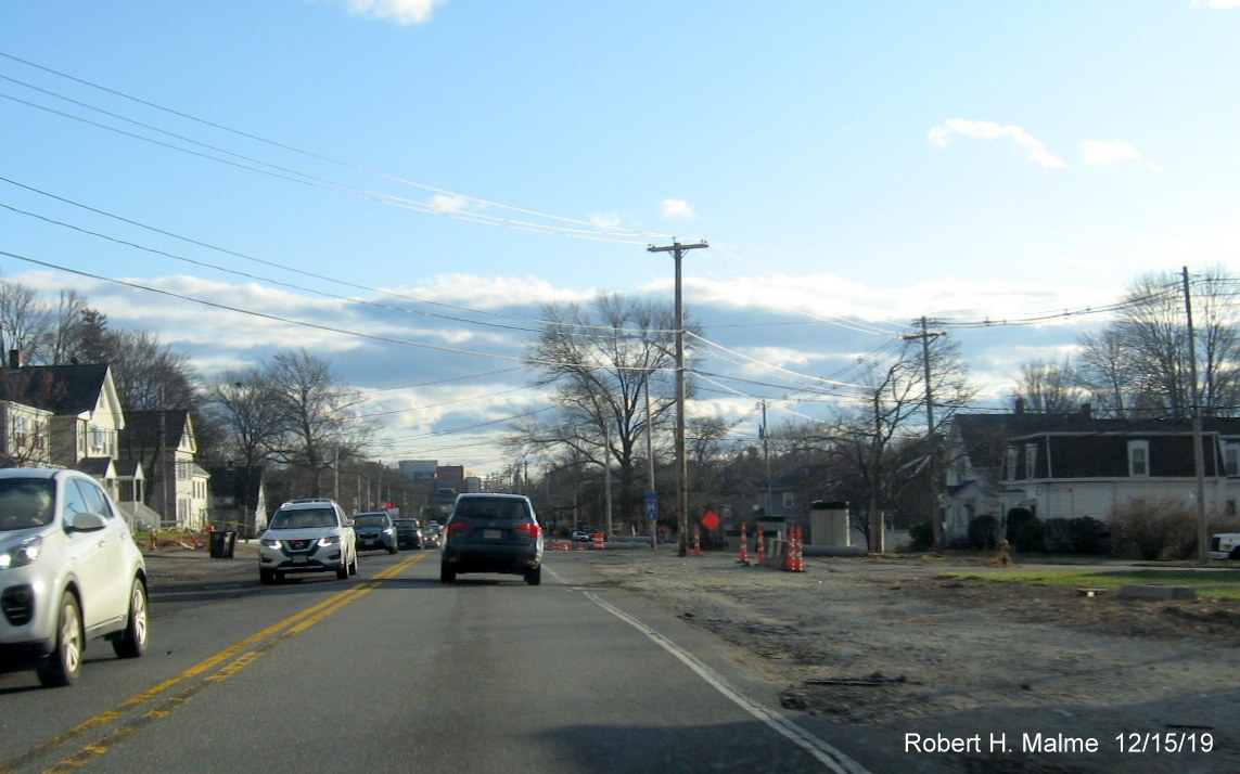
Heading south
beyond Middle Street shows utility poles still in the future additional
Route 18 South lane.
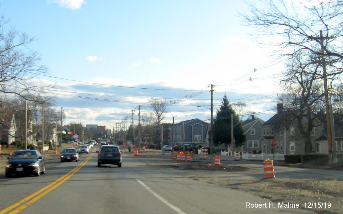
Not too much
progress seen further south heading toward Park Avenue, Weymouth portion
of project was to be completed by end of 2019.
Piece of
construction equipment in future Route 18 South lane indicates some
progress is being made, most utility poles approaching Park Avenue have
been moved.
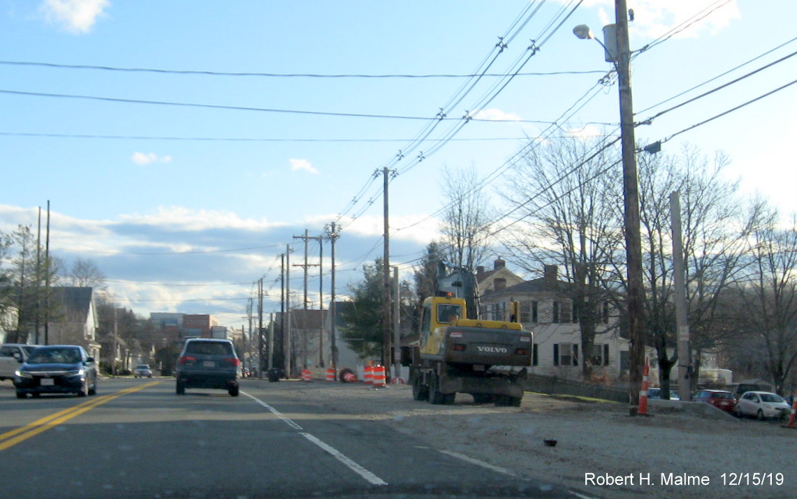
Photos from
October 23, 2019 of work on the commuter rail bridge:
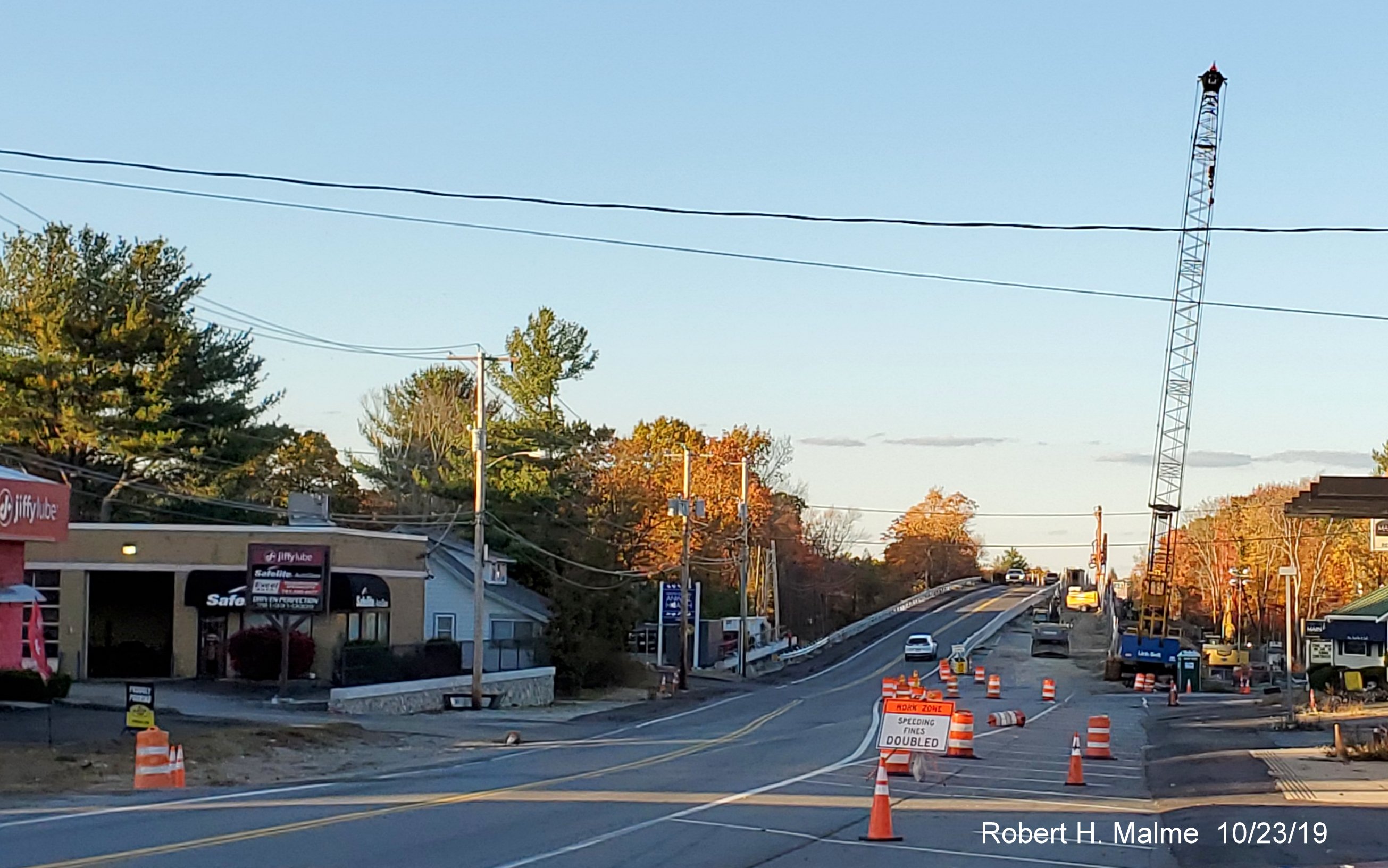
Work continues on
replacing and widening commuter rail bridge near the South Weymouth
commuter rail station, looking north.
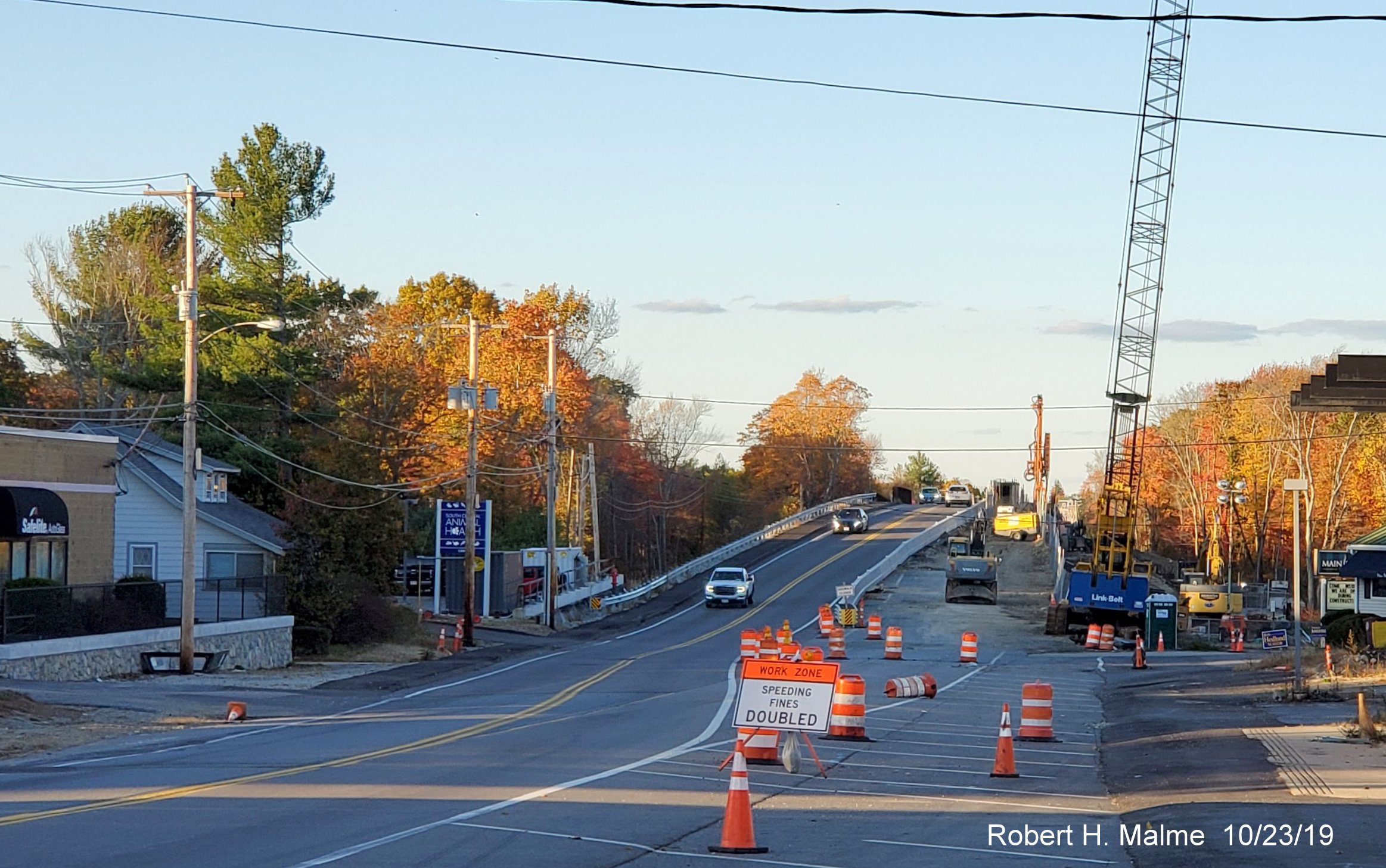
A closer view of
work on the future northbound lanes over the bridge.
Photos from
October 6, 2019 heading north between Route 139 and Pleasant Street:
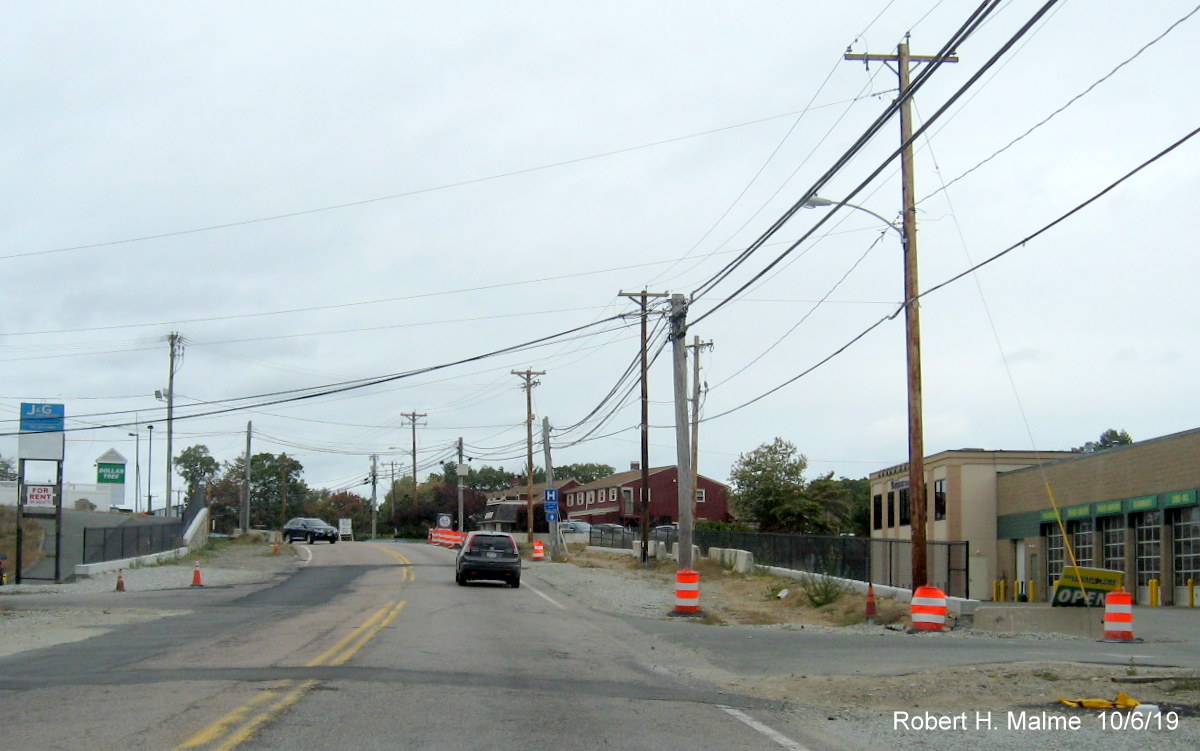
View approaching
Abington Ale House, work to move wires to new utility poles along Route
18 North has begun.
View heading
toward Weymouth, little but utility work being done in this area prior
to widening, lanes are closed between 8 PM and 5 AM Sunday to Thursday.
New utility poles
are only evidence of future widening approaching the Weymouth town line.
Work has started
along future southbound lanes to the left near the Route 58 intersection
in South Weymouth.
Work continues on
widening the northbound side of the commuter rail bridge in South
Weymouth.
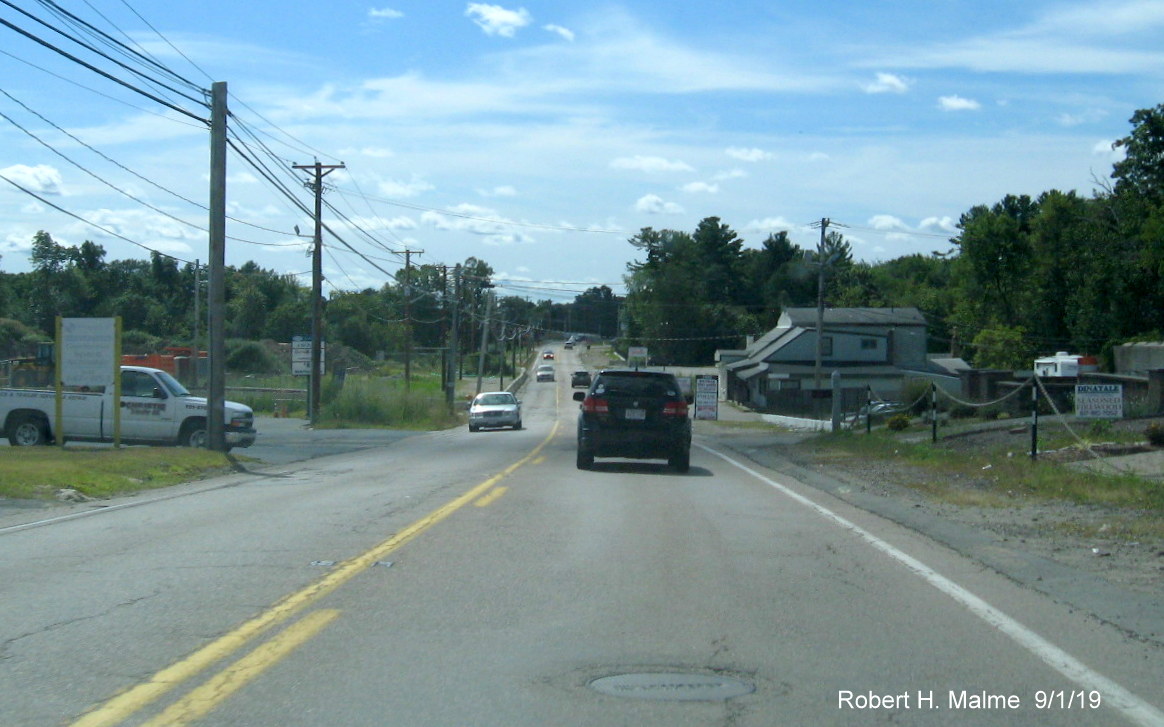
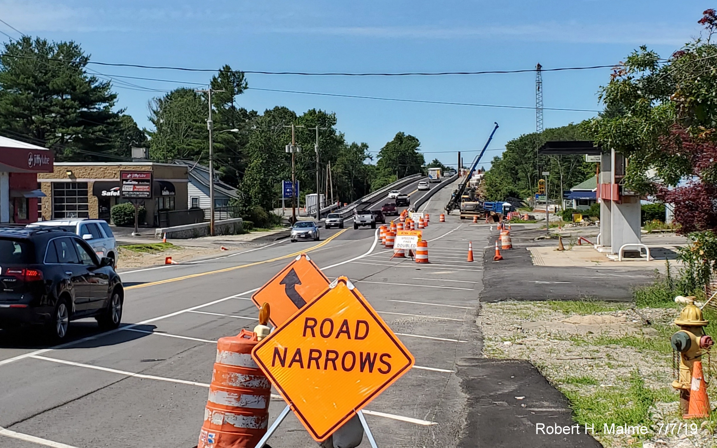
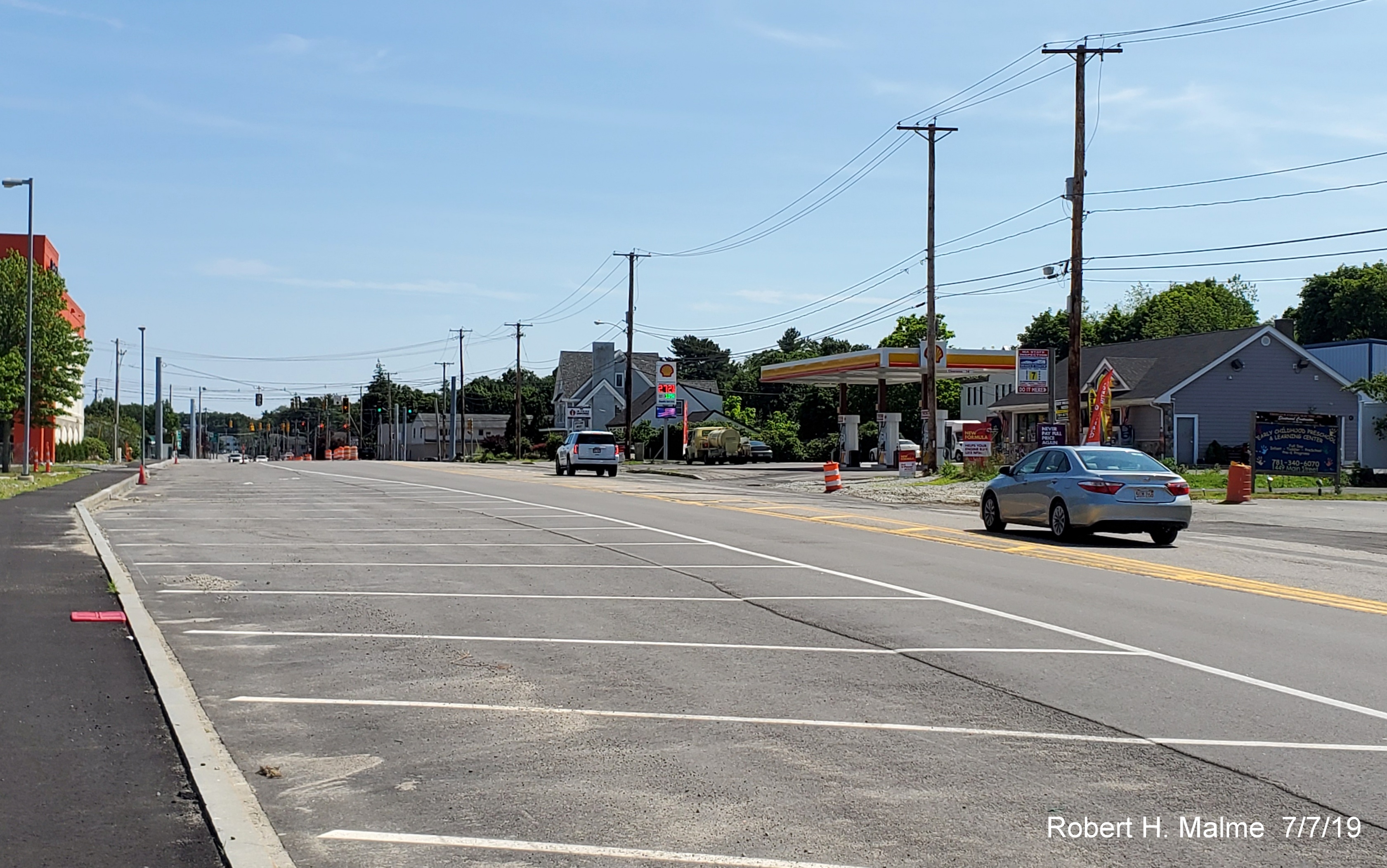
Photos from
September 1, 2019 heading south from Route 3 to Route 139:
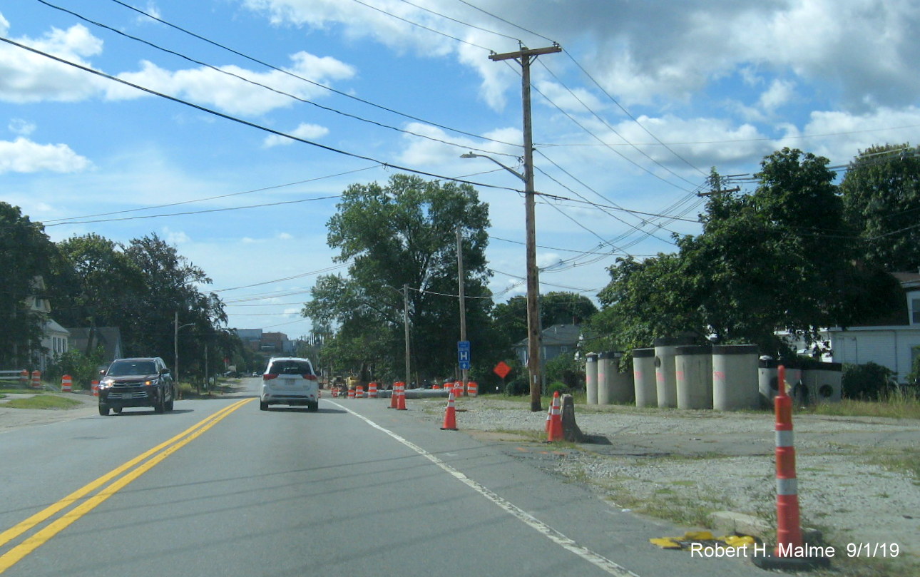
This is how the
first section of the widening project between Middle Street and Park
Drive appeared on September 1. Work is still underway to place new a new
drainage system under the future south lanes.
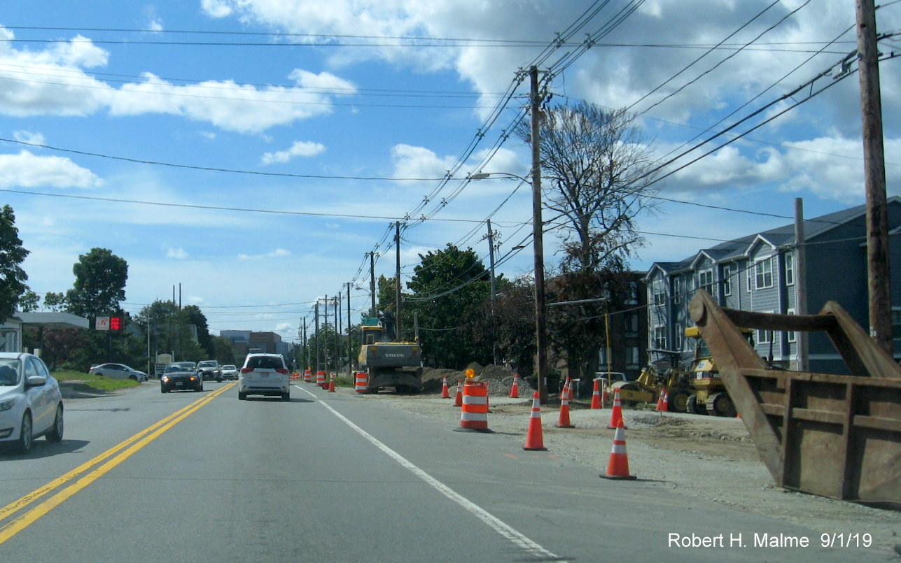
Approaching Park
Drive work is still continuing on moving both the above and below ground
utilities before widening work can begin.
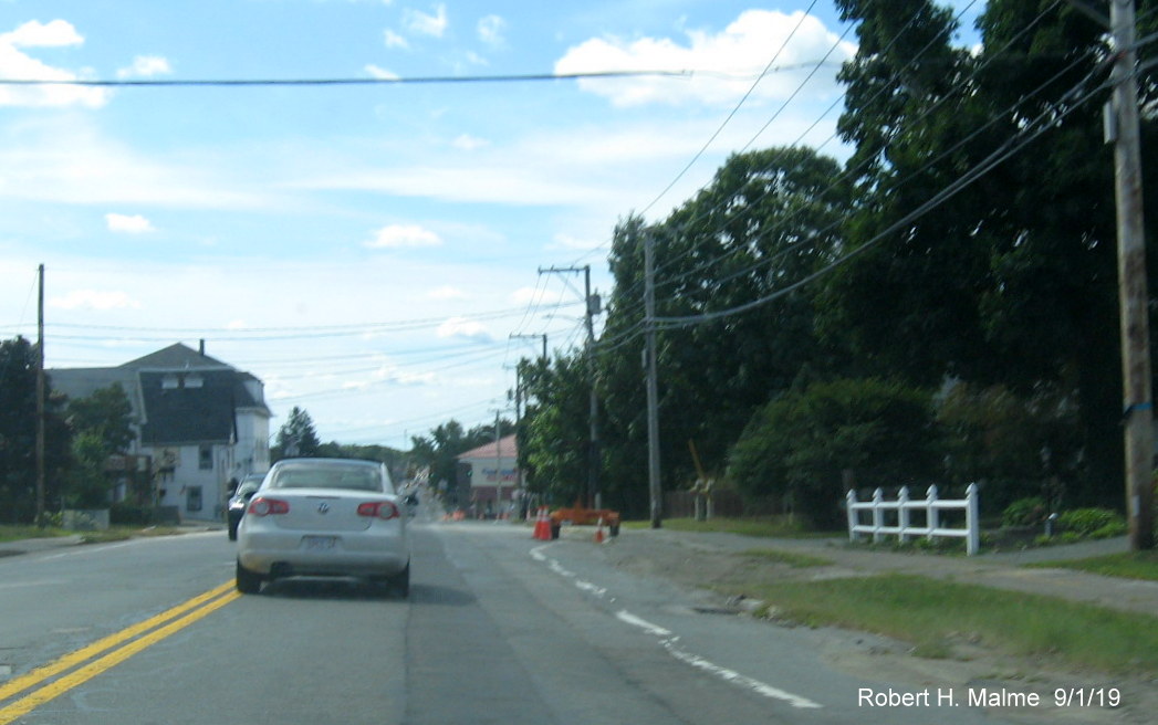
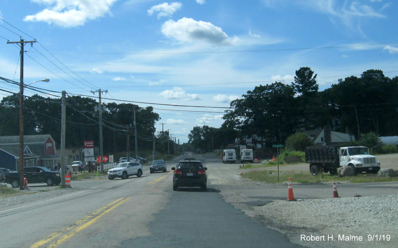
A few traffic
cones is the only evidence of work done in the second widening zone
between Columbian Street and Pleasant/Pond Street intersection.
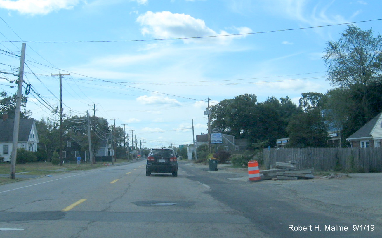
Little work on
widening has occurred in the past two months in the third zone area
between Pleasant Street and the entrance to the Union Point Development,
especially along the northbound side.
The intersection
with Shea Blvd. at Union Point has a new traffic signal designed for 2
southbound lanes, currently the left turn only arrow is above the second
through lane at this location.
Not much progress
to report south of Shea Blvd. during the last 2 months. Power lines
still on old utility poles.
Pipes for
drainage work still stand along Route 18 North along with old utility
poles prior to commuter rail bridge.
Work can be seen
at the commuter rail bridge. Traffic was detoured during the weekend of
August 24-25 so that work could be expedited on replacing the northbound
lanes.
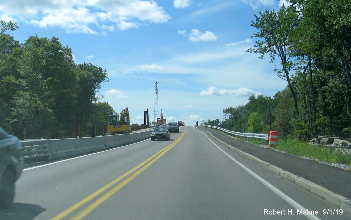
Construction
equipment and a crane are parked besides Route 18 North lanes for bridge
reconstruction.
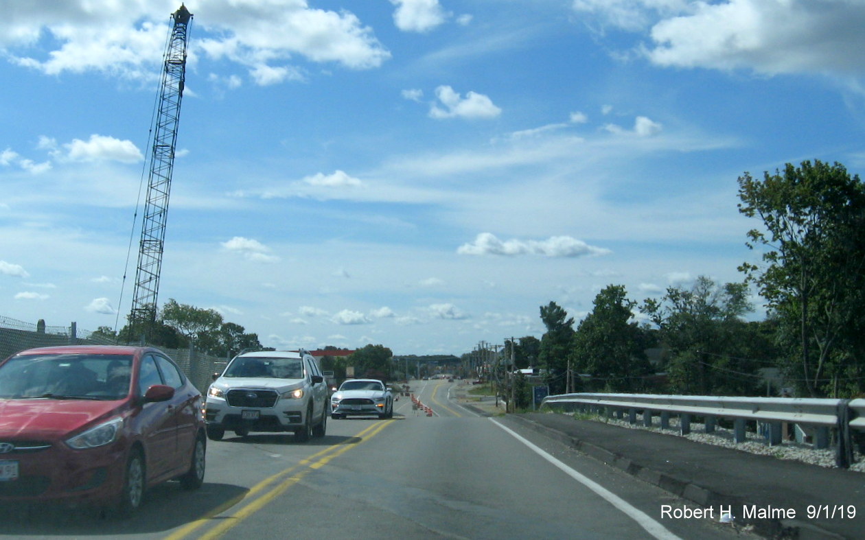
View looking
south from the top of the commuter rail bridge showing little progress
widening the southbound lanes headed toward Route 58.
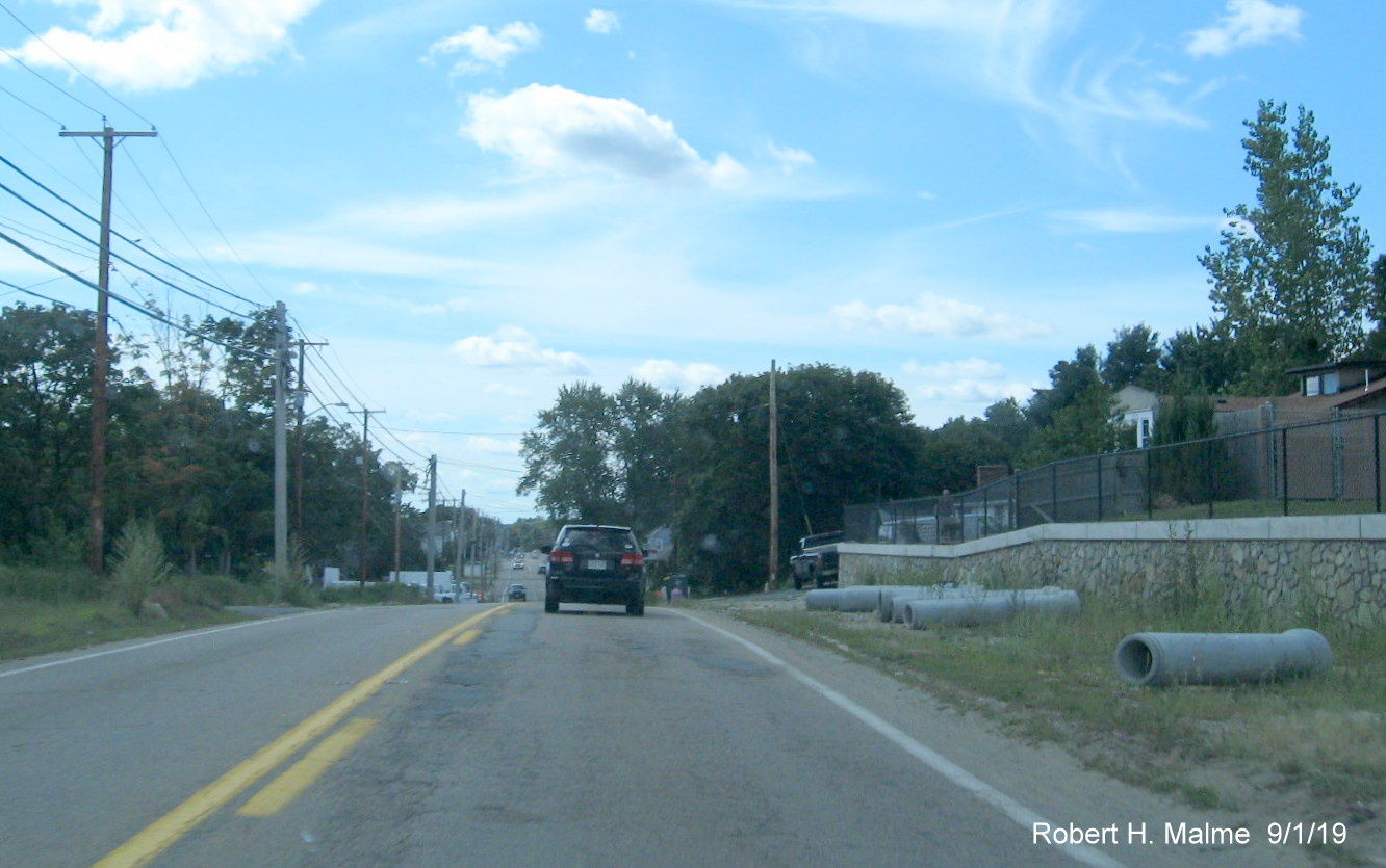
New retaining
wall along Route 18 South awaits utility pole removal so road can be
expanded opposite the South Weymouth Commuter Rail Station parking lot.
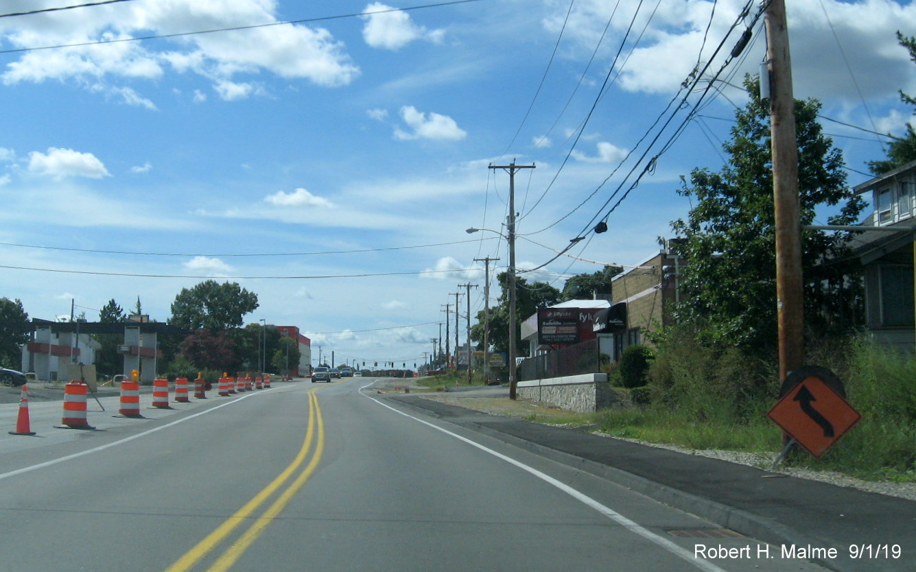
Nothing new to
report in past two months at intersection with Route 58 except new
yellow traffic light structure going up in the right.
A closeup view of
the new traffic light.
Little work can
be seen southbound in moving the power lines from the old to new poles
that would allow for road widening between Route 58 and the Abington
line.
View largely
changed southbound entering Abington in the last couple month, more
utility pole removal is need before widening can begin.
This section of
Route 18 in Abington is supposedly to be the last part of the widening
project, which explains the lack of progress here.
The road
conditions have only gotten worse beyond the Abington Ale House with a
mixture of old and new pavement where underground utilities have been
moved.
The cleared
future southbound lane is now being used as a storage area for drainage
pipes approaching Route 139.
Southbound lanes
by Abington Fire Station, future new lane also a storage area and
existing pavement torn up for utility relocation underground, while
wires remain to be moved above ground.
New utility poles
along northbound lanes hint at construction to come approaching end of
project limits at Route 139 in Abington.
Photos at
Commuter Rail Bridge from July 2019:
Work is
proceeding in demolishing old bridge along former northbound lanes.
Looking south
toward Route 58 interchange showing progress in preparing road widening
opposite rail station.
Photos from May
2019 between Route 3 and South Shore Hospital:
View heading
south showing clearing for new lane along properties after intersection
with Middle Street.

Work continues
approaching the intersection with Park Drive (Route 128 until 1959).
Widening project
work picks up again after the 4-lane section surrounding South Shore
Hospital, new utility poles in place.
Work moving
utilities for the widening is still occurring along Route 18 South
approaching the intersection with Pleasant Street.
Photos from April
2019 between Pleasant Street and Route 139:
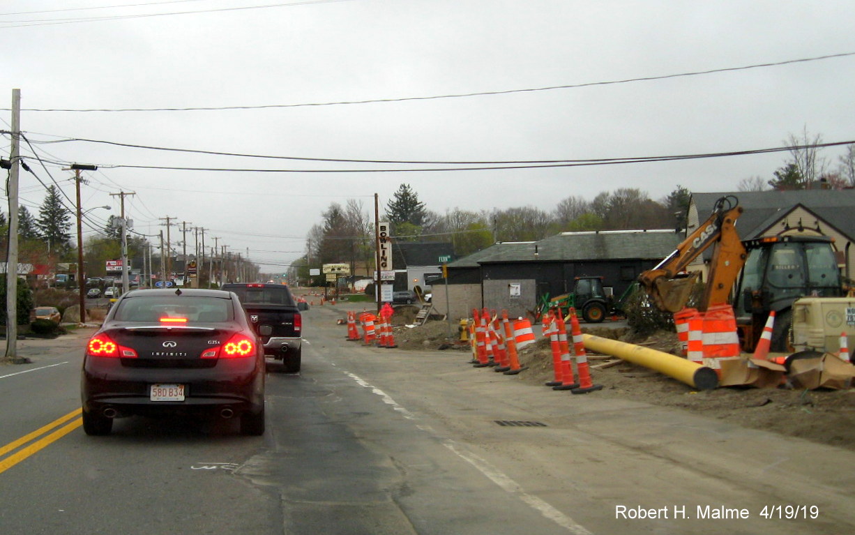
View heading
south after Pleasant Street in Weymouth showing progress in moving
utilities out of future roadway right-of-way.
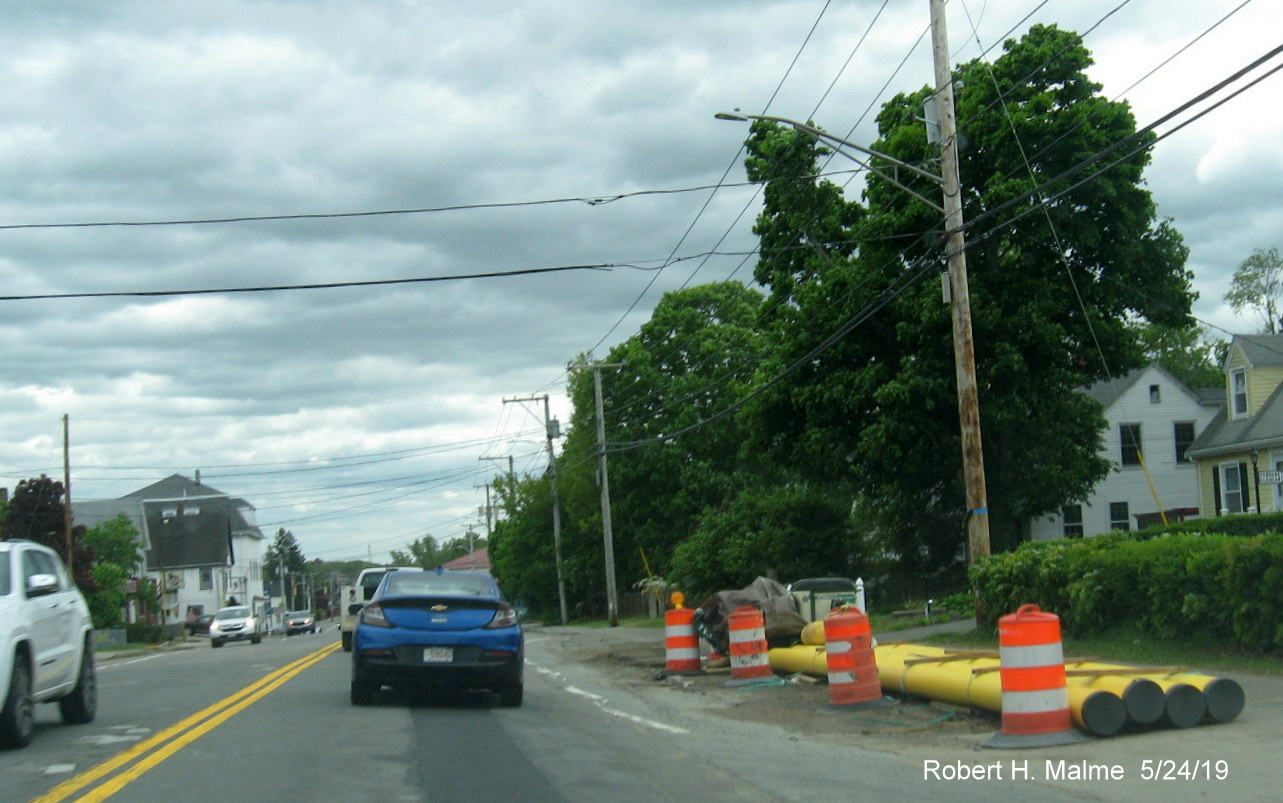
Similar work
going on further south by Stockholders and the 99 Restaurant.
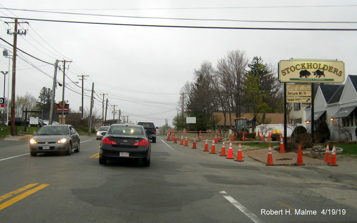
Work not as
pronounced approaching the Shea Boulevard intersection on Route 18
South.
Work mostly along
northbound lanes approaching the Commuter Rail bridge southbound.
Utility lines now
on new poles along southbound Route 18 approaching railroad bridge,
poles along northbound side still need to be removed.
Work was almost
completed along new bridge section which Route 18 traffic was to shift
onto the first week, then delayed to the second week of May.
Looking south
from top of railroad bridge toward intersection by South Weymouth
Commuter Rail Station with completed new northbound land separated by
painted line after the bridge.
On the right, old
utility poles have had wires removed to be placed on new poles, finished
northbound lane with painted lines over it to exclude traffic to the
left opposite the South Weymouth Commuter Rail Station parking lot.
Concrete pipes
await placement along Route 18 South just prior to the Route 58
intersection.
A new slightly
wider support posts awaits new traffic signals at the intersection of
Routes 18 and 58 South.
South of Route 58
the completed northbound lane is striped to prevent use by traffic and
work is proceeding to remove wire from the old utility poles along Route
18 South.
Similar
conditions further south just prior to crossing into Abington.
The completed
northbound lane ends as Route 18 enters Abington, construction on this
southernmost section will not finish until 2020.
Less progress
heading south in Abington and lack of maintenance on to be replaced
roadbed leads to a bumpy ride and blurry picture.
Not much progress
seen since last fall in the widening construction along the southbound
lanes near the Abington Ale House.
Similar story on
the bumpy roadbed south of the Abington Ale House.
More concrete
pipes await placement, as well as utility poles heading south toward
Route 139 in Abington.
Little has
changed since last fall approaching the Route 139 intersection.
Nine days later,
a look at the completed and striped off new Route 18 North lane by the
South Weymouth Commuter Rail station parking lot.
Portable VMS in
the new Route 18 North lane advising drivers as to upcoming traffic
shift on commuter rail bridge in May.
Looking south along the ready to use Route 18 North lane between
Route 58 and the Railroad Bridge.
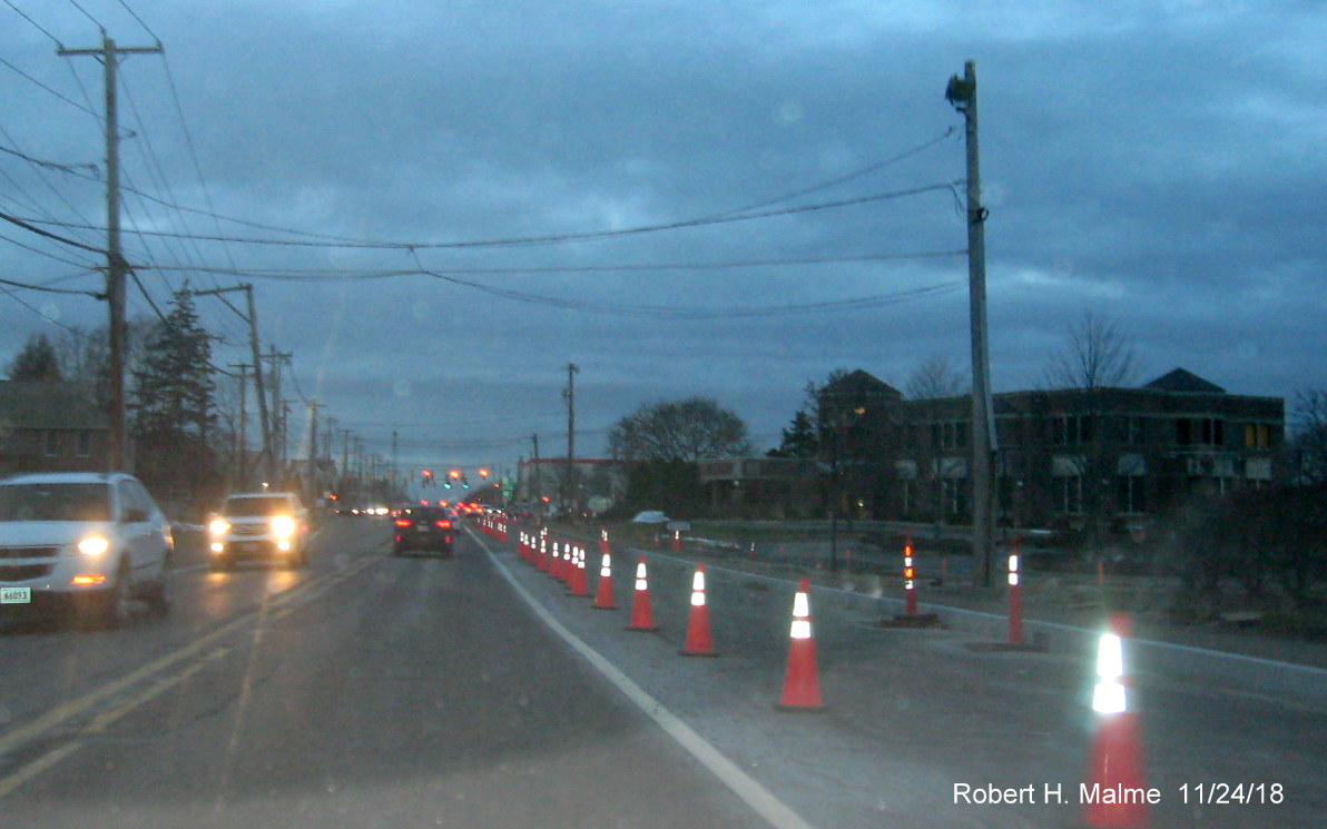
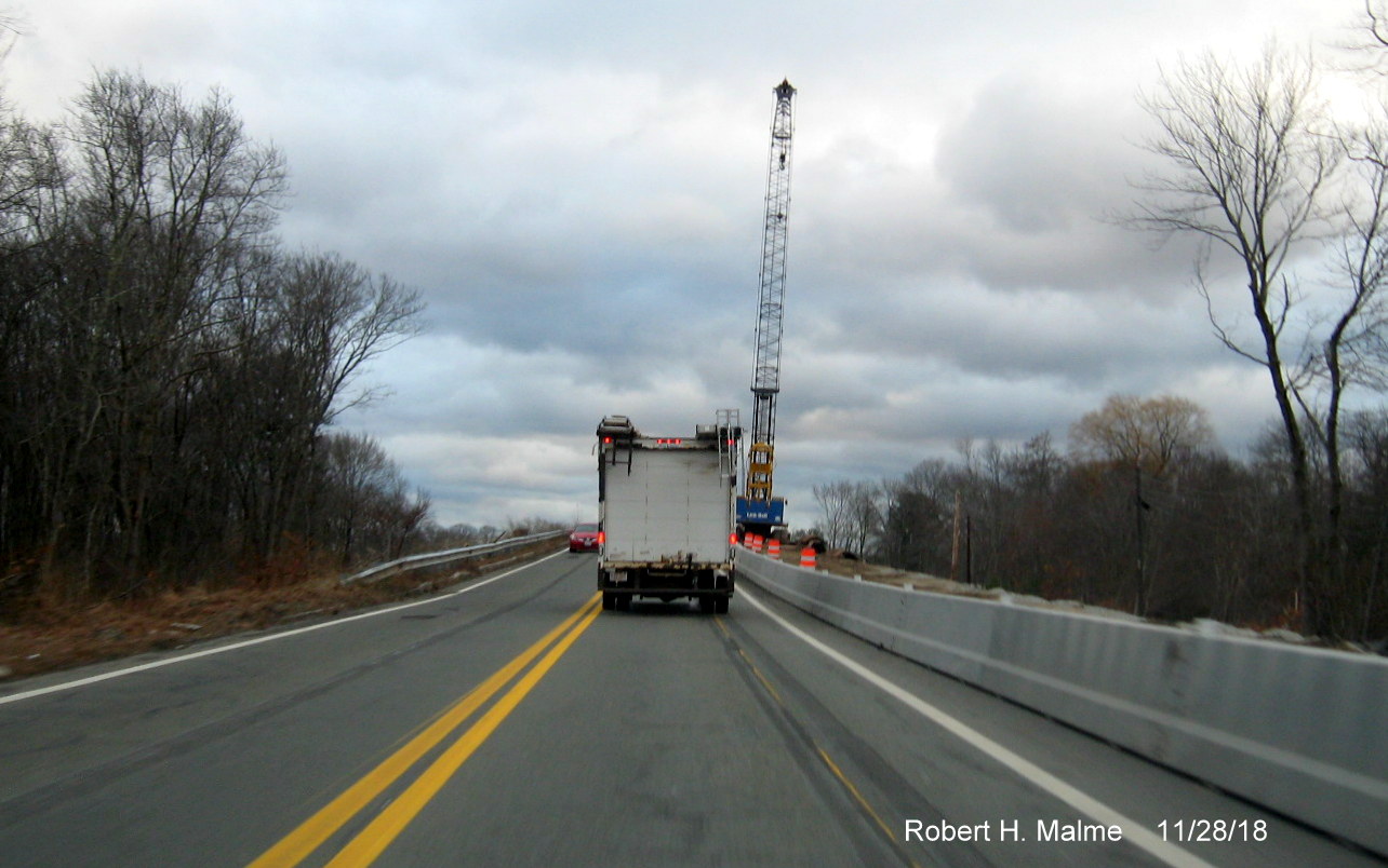
Photos from November 2018:

Twilight view of cleared land on both sides of current roadway as
seen on MA 18 North in Abington near the Weymouth town line.
Starting at the Weymouth line preliminary paving has been completed
for the future northbound right lane.
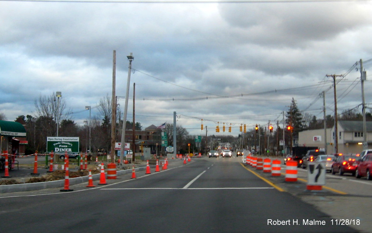
Newly paved lane continues to MA 58 intersection, seen at traffic
light in distance and then beyond the intersection to just south of railroad bridge.
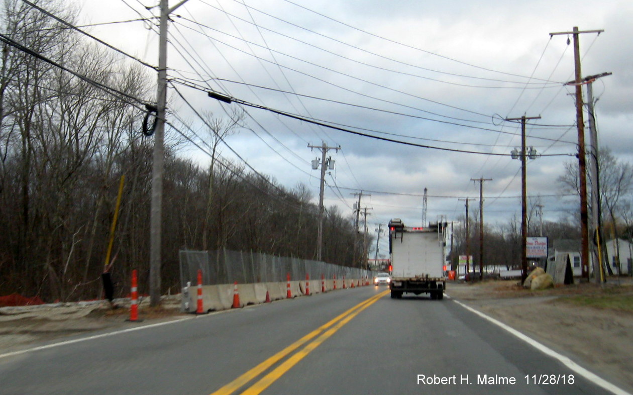
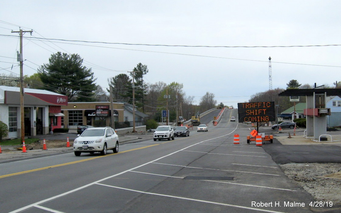
Heading south a few days later approaching the railroad bridge, work
on the bridge is being staged behind the concrete barriers on the left, while clearing has been completed along the southbound
lanes.
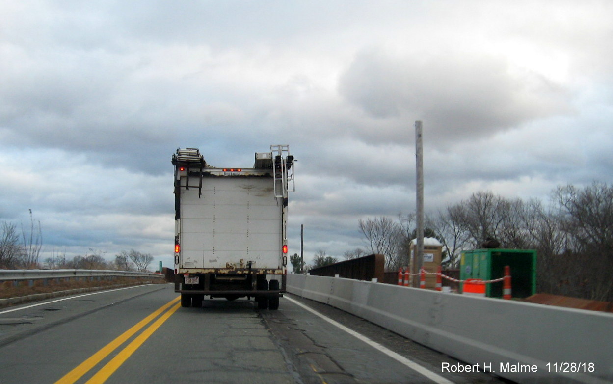
Former utility poles in the future southbound lanes have been
removed as seen approaching the railroad bridge.
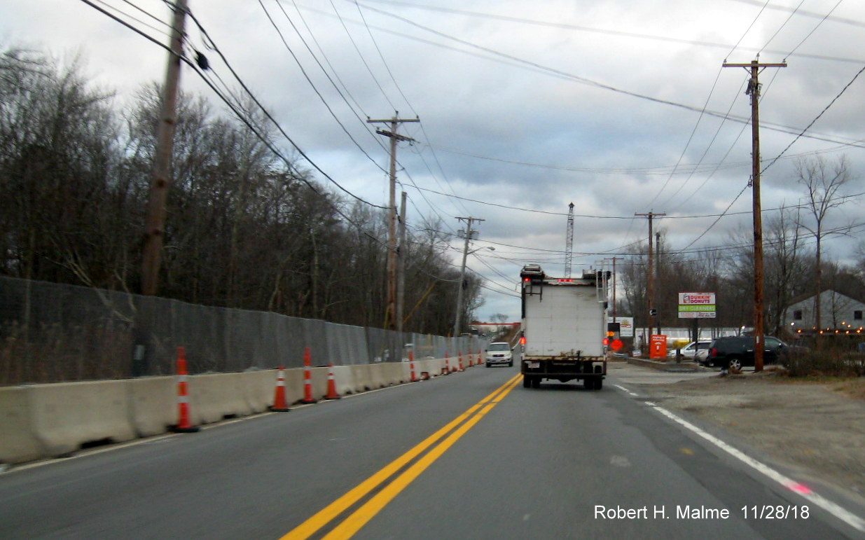
Temporary advisory sign (along with portable VMS, not pictured)
regarding lane shift southbound approaching the railroad bridge.
Apparently work to demolish the current bridge while it's still open
requires shifting traffic over, the Route 18 North lane is now partly in the former shoulder.
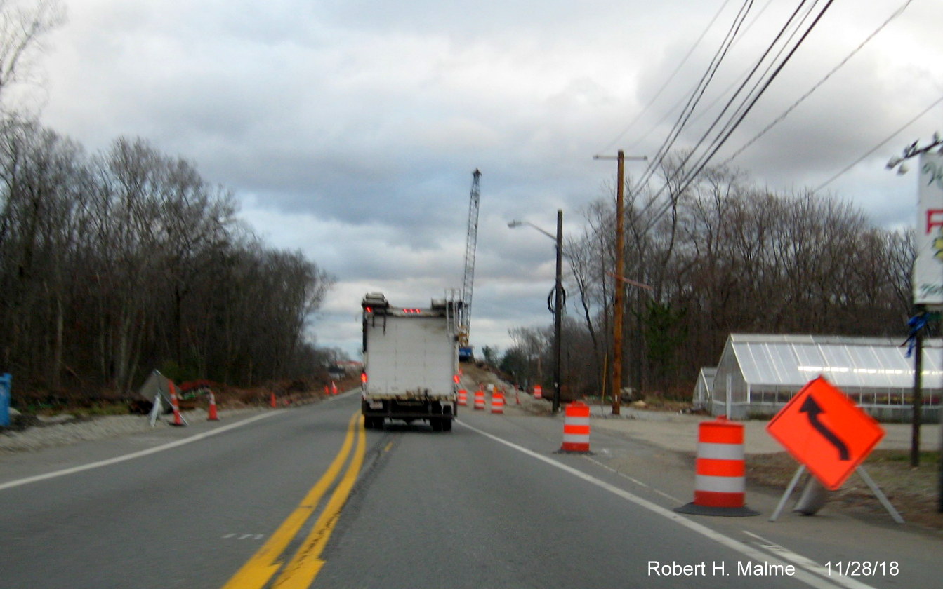
Construction equipment and other needed items in the construction
zone at the top of the bridge.
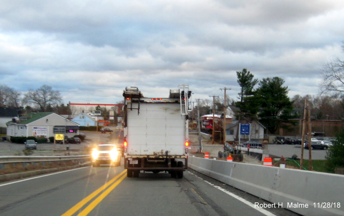
View looking south from the top of the bridge which was to show the
beginning (or end) of the new paved lane heading northbound, hidden by traffic unfortunately.
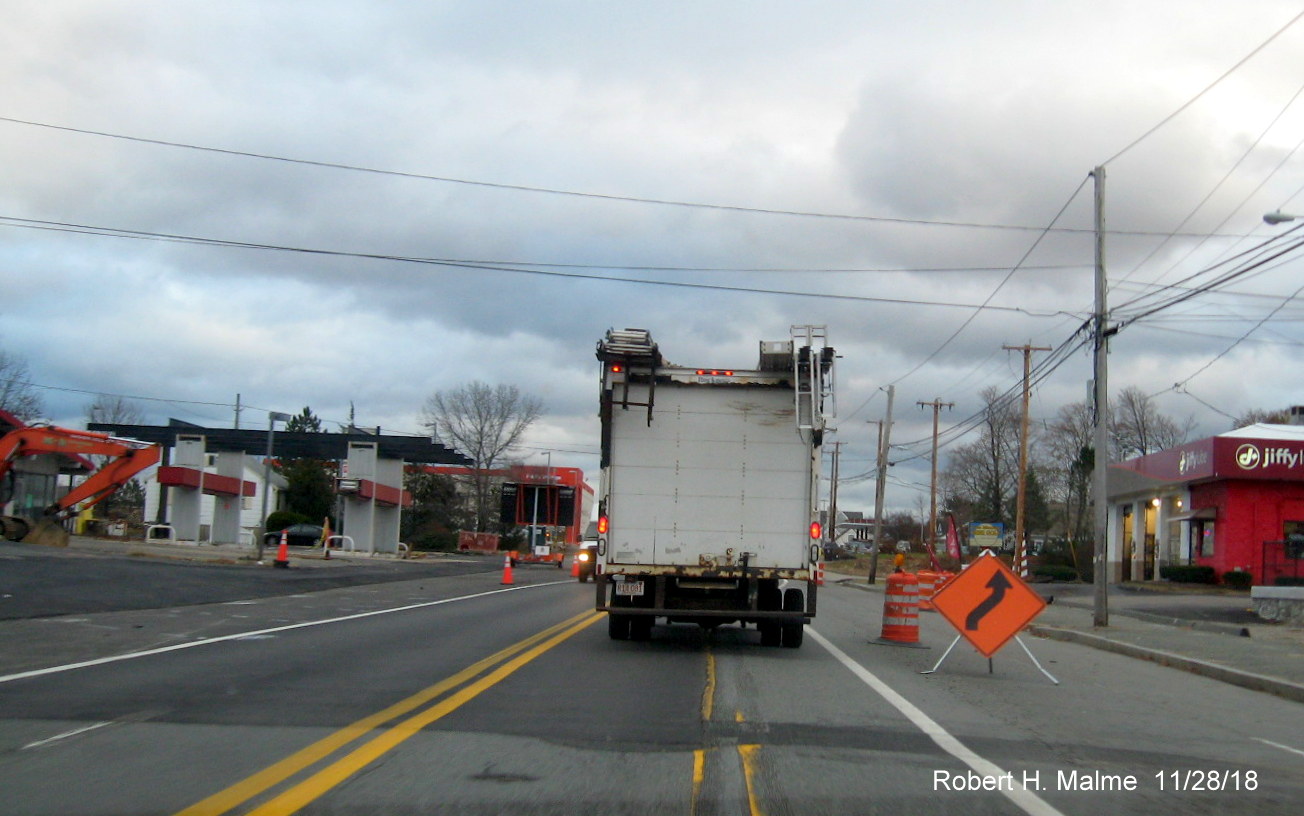
View of paved future northbound lane on left as Route 18 traffic
is shifted back to its original alignment after the railroad bridge.
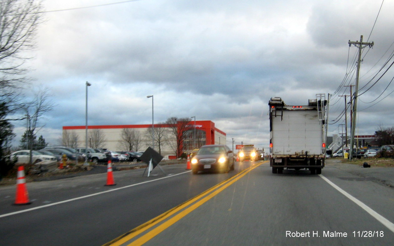
Future Northbound lane paved heading past commuter rail parking
lot.
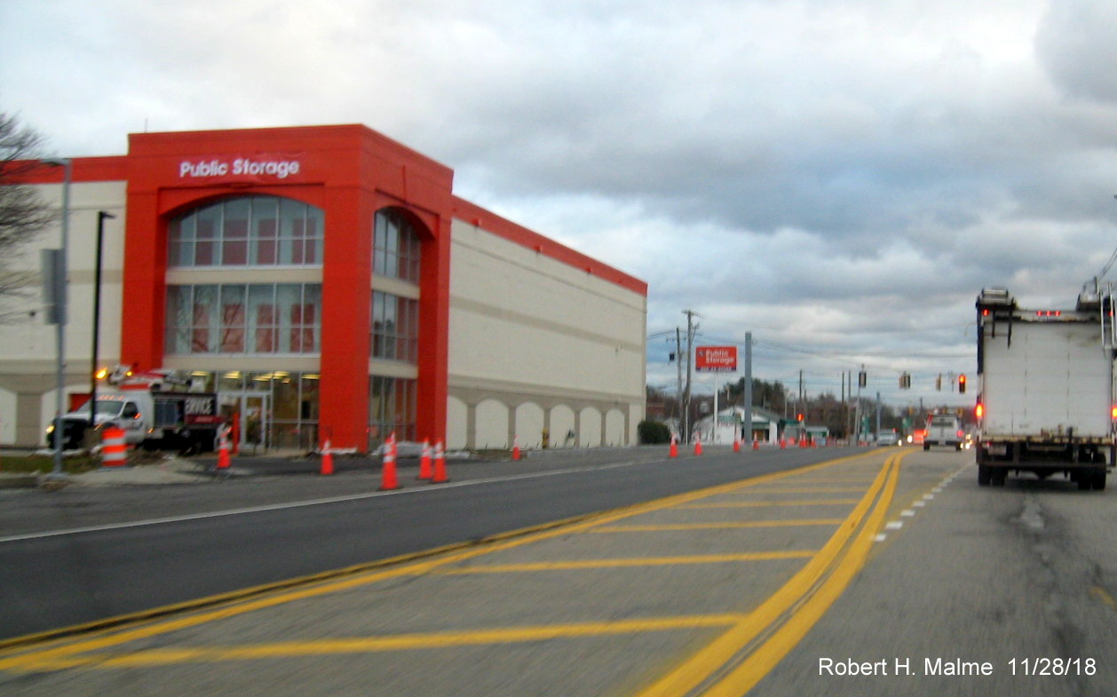
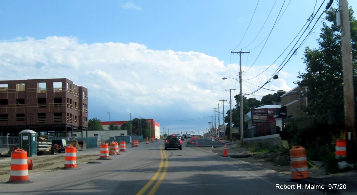
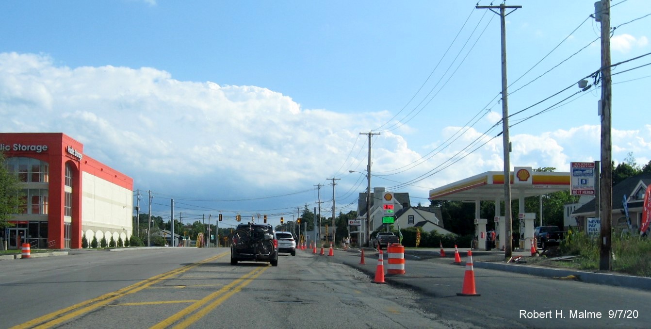
The widening project has resulted in the future roadway's close
proximity to the Public Storage warehouse building.
View of completed paving between the MA 58 and Trotter Road
intersections on Route 18 North. This section was already 4 lames, but the road has been widened a little more with new
curbing added.
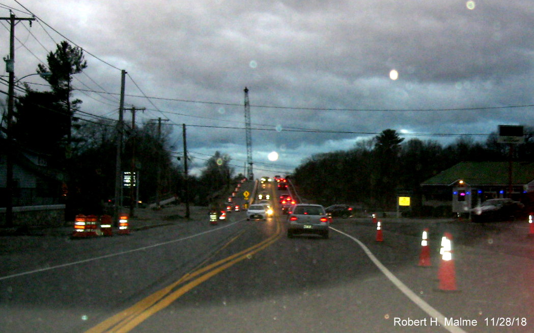
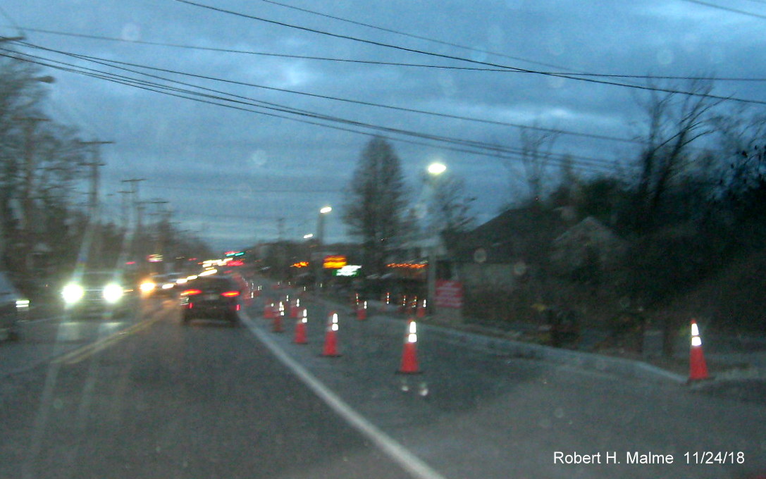
My attempt to capture the railroad bridge approach heading north at
dusk.
Photos from September 2018:
Area cleared along North Route 18 just prior to the railroad bridge
for future lane. VMS messages indicate preliminary paving was to take place during October, weather permitting.
Heading south now, prior to the Union Point development entrance,
new utility poles have started going up in this area.
New barriers and barrels put up along Route 18 South prior to the
Route 58 intersection where preliminary widening work is taking place.
New temporary barriers have also been placed along MA 18 North after
the current railroad bridge, work to demolish the old bridge and open a new wider one will take place in 2019.
One of the VMS advising traffic of paving work prior to the railroad
bridge on Route 18 South prior to the South Weymouth commuter rail station.
View from top of the railroad bridge looking south shows progress
grading new northbound lanes as seen in the first photo.
Closer view of new lane being constructed northbound approaching
the Route 58 intersection heading south on Route 18.
Work has also started for adding a northbound lane between the Route
58 intersection and the Abington town line.

More future northbound lane grading awaiting preliminary paving
approaching the Abington town line.
Construction
equipment stored near the end of the current widening work being done just over the line in Abington.
Only preliminary work still has been completed at the southern end
of the project approaching Route 139.
The exception is near the Abington Ale House where the widening
work is apparently being coordinated with a new development (see earlier photos below).
Photos from July 2018:
Only preliminary work and some new utility poles can be seen
southbound approaching the southern limits of the project at Route 139 in Abington.
Only some tree cutting has been completed southbound approaching
Route 139.
Little progress can be seen since May approaching the current
railroad bridge on Route 18 South in Weymouth.
Work can be seen on building the new bridge to the left of the
current structure heading south.
View looking north from the top of the railroad bridge, not too
different from that in May.
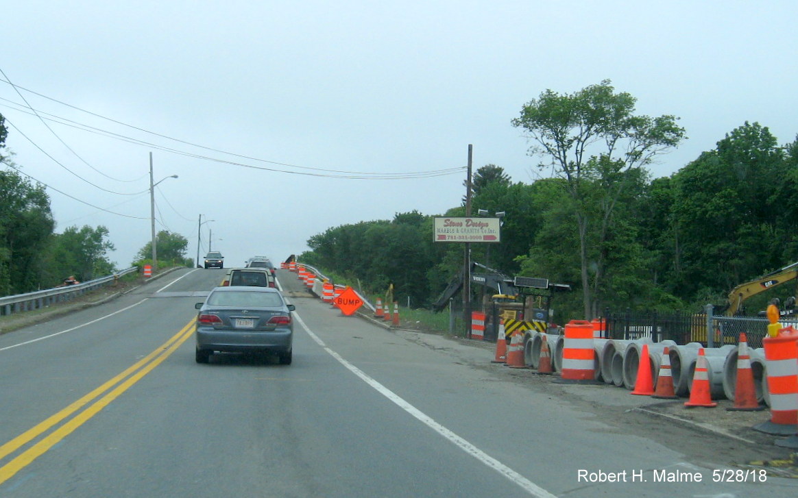
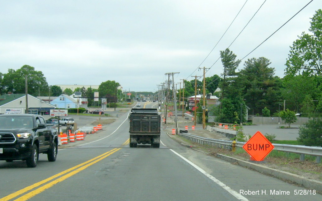
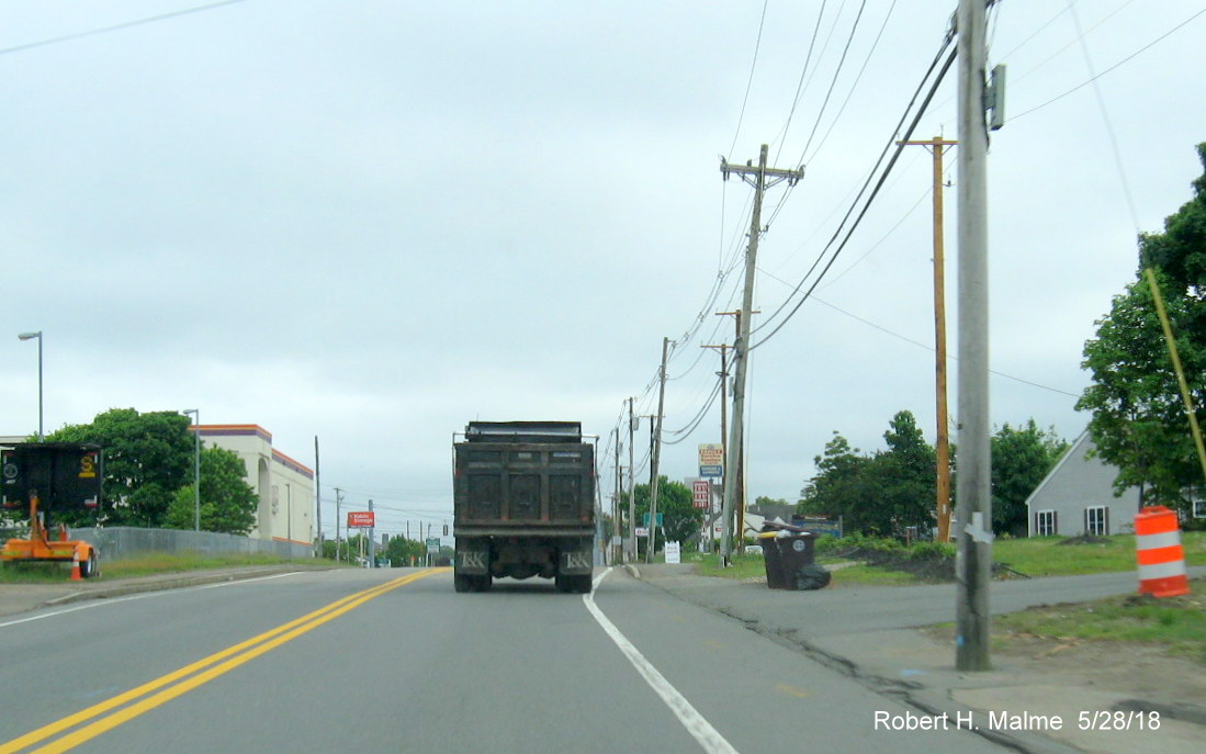
Earlier photos from May 2018:
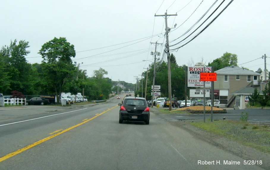
Work zone sign south of Route 139 intersection on Route 18 North
in Abington.
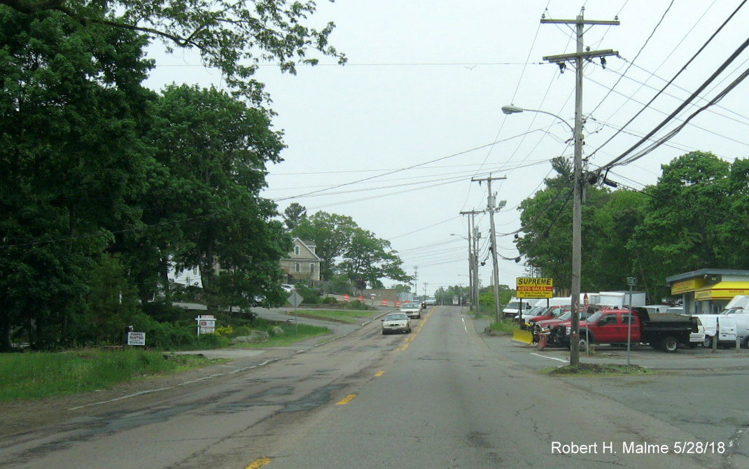
Some clearing but not much work has started north of Route 139
heading towards Weymouth.
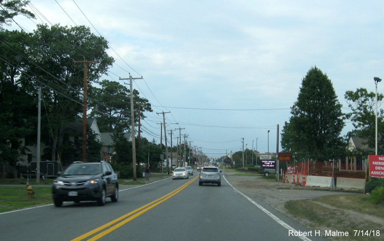
Work had started along the southbound lanes in coordination with a
new development going in near the Abington Ale House.
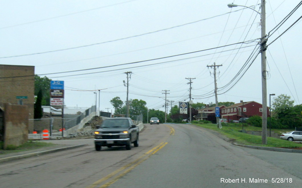
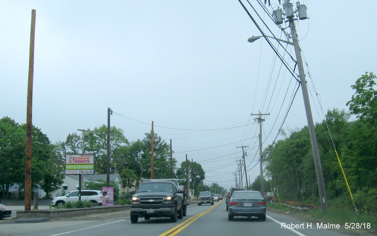
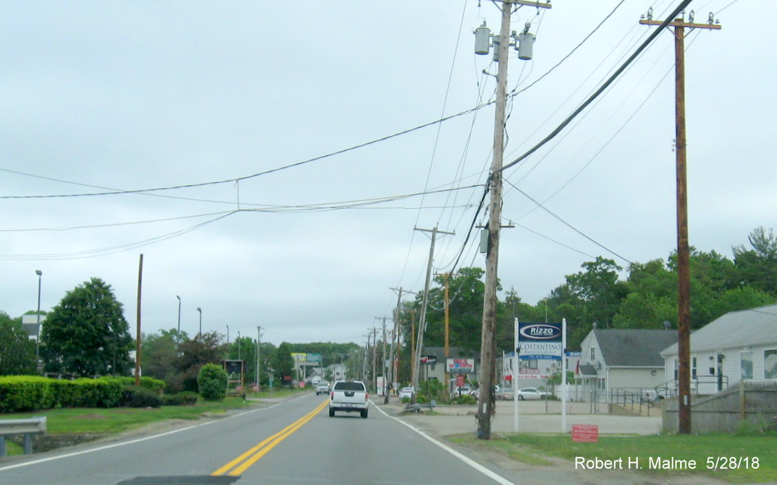
Starting at the Abington/Weymouth town line work was proceeding
in putting in new utility poles along the sides of the future widened highway.

Portable VMS sign warns drivers of lane closures overnight for
widening work as more new utility poles stand next to existing ones in South Weymouth.
Route 18 about to head onto bridge over commuter rail tracks, bridge
to be demolished and rebuilt, part of new bridge can be seen to the left of the current one.
Miscellaneous construction equipment and materials are store along
northbound lanes prior to bridge.
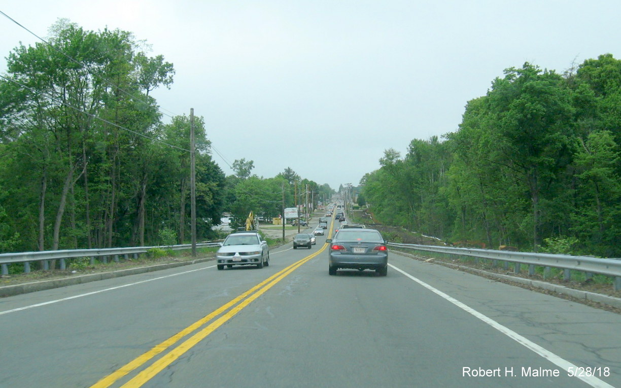
Looking north from top of railroad bridge showing clearing and
other work taking place in project work zone.
Utility pole relocation work continues north of the bridge.
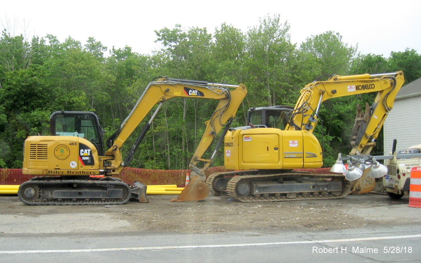
Some of the bigger construction equipment being stored in future
Route 18 southbound lane in Weymouth. Turning around and heading south...
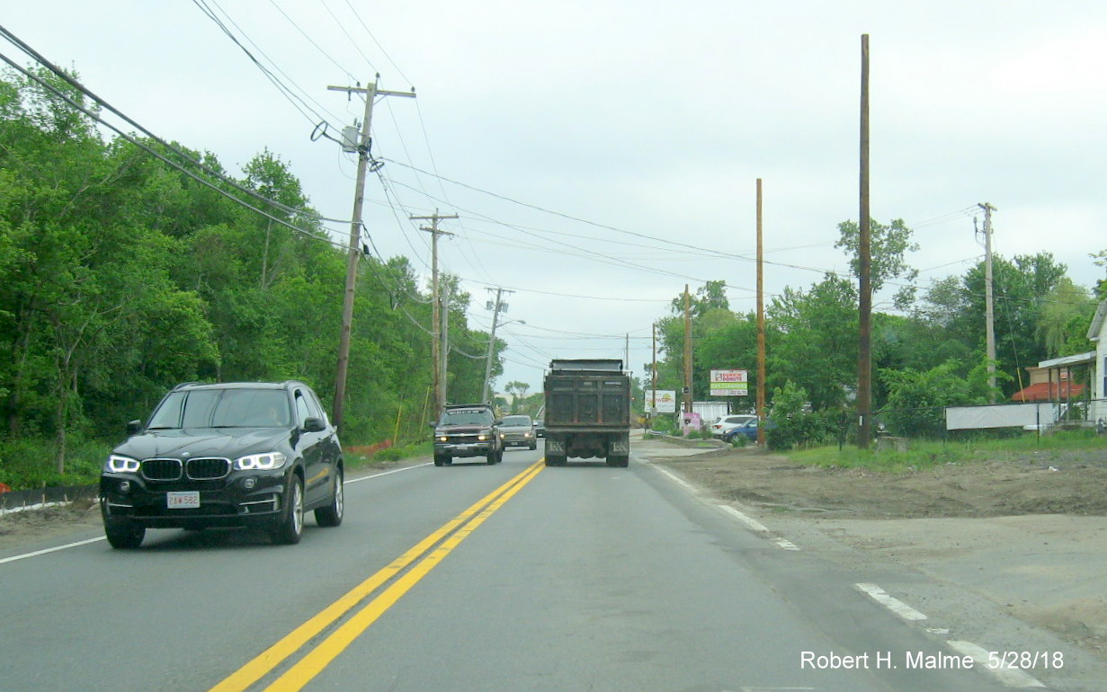
Clearing for future Route 18 south lane heading toward railroad
bridge in Weymouth.
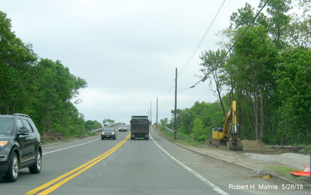
Heading south over current railroad bridge, clearing for new bridge
continues on the right.
Looking south toward Route 58 intersection from top of current
railroad bridge, new bridge construction seen on right.
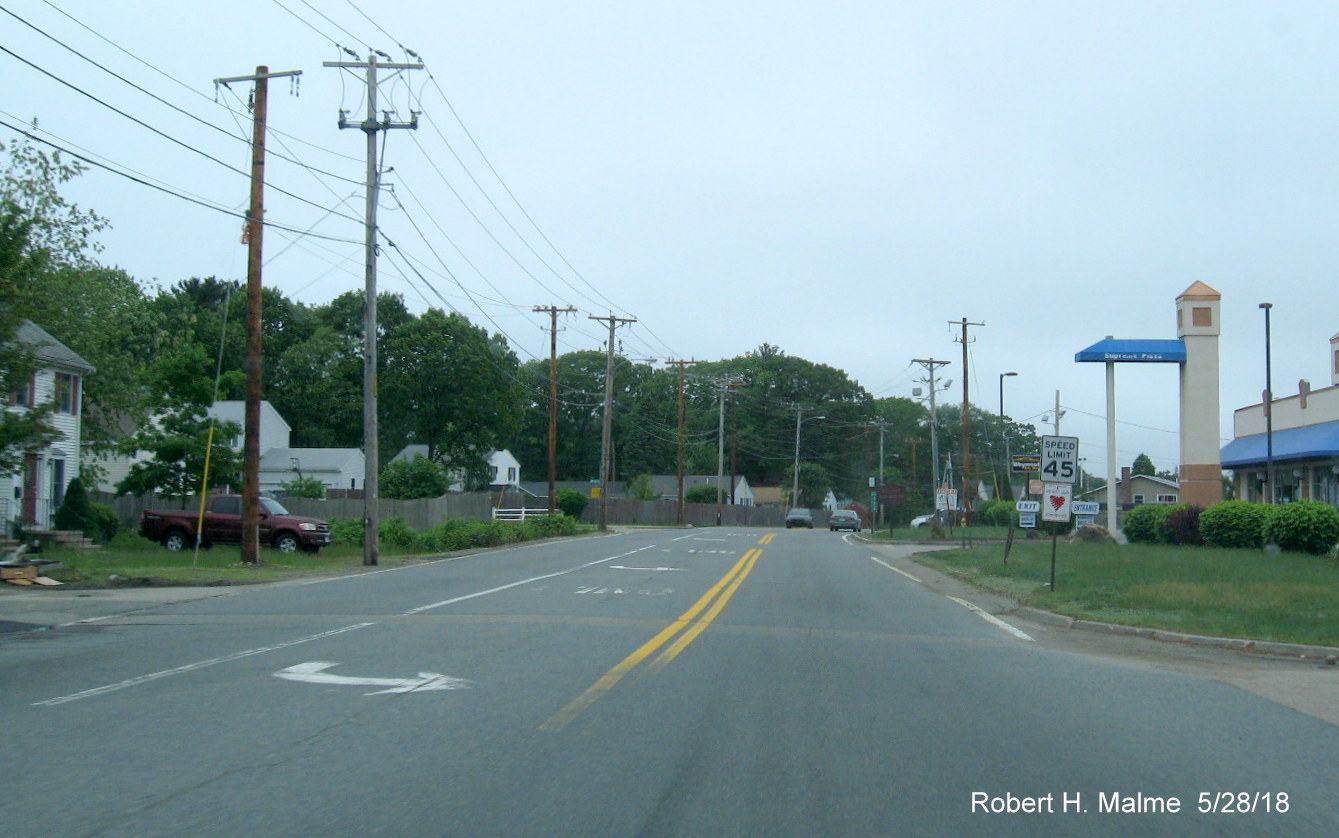
Some preliminary work has been completed approaching the Route 58
intersection southbound.
View of the new utility poles placed beyond the future highway lanes
south of the Route 58 intersection.
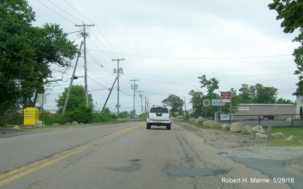
Now further south in Abington, one can tell that maintenance of
this section of Route 18 was deferred awaiting the highway's widening.

Passing southbound work being done in coordination with a new
development along the southbound lanes prior to the Abington Ale House.
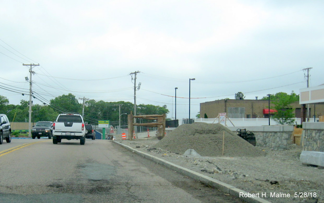
New barrier wall being placed for new building development providing
room for future southbound Route 18 lane across from the Abington Ale House.
More preliminary work can be seen along Route 18 South approaching
the Route 139 intersection.
This residential property in Abington will be losing much of its
front yard to the new Route 18 South lane.
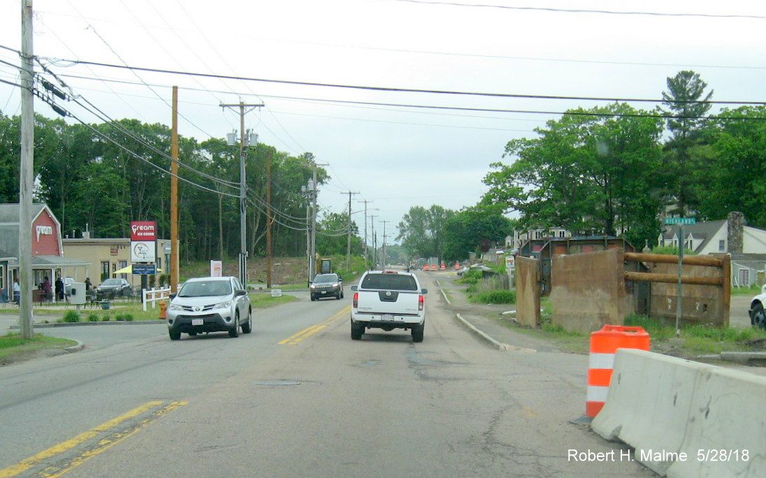
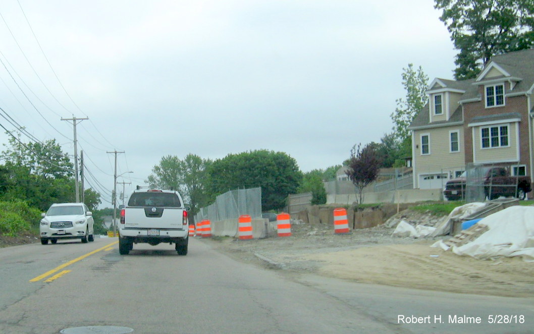
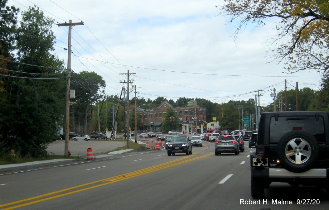
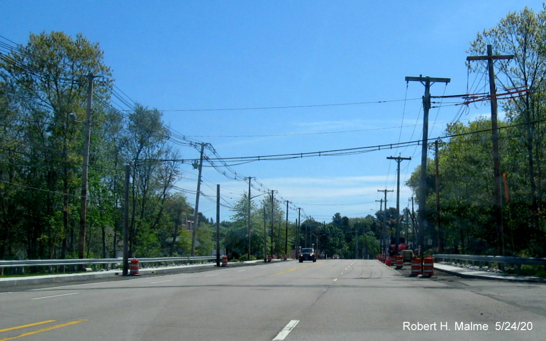
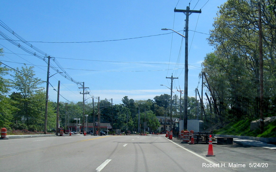
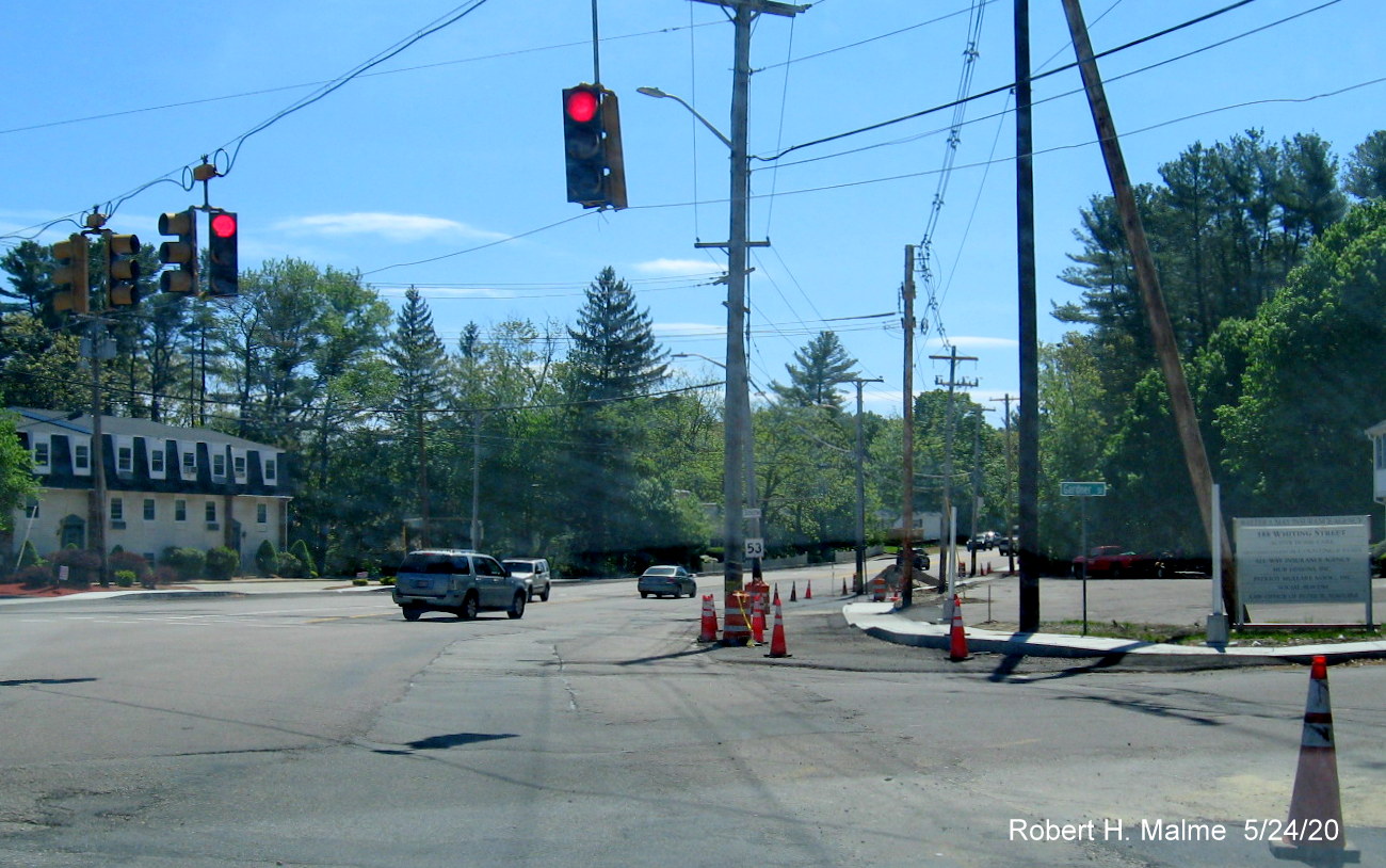
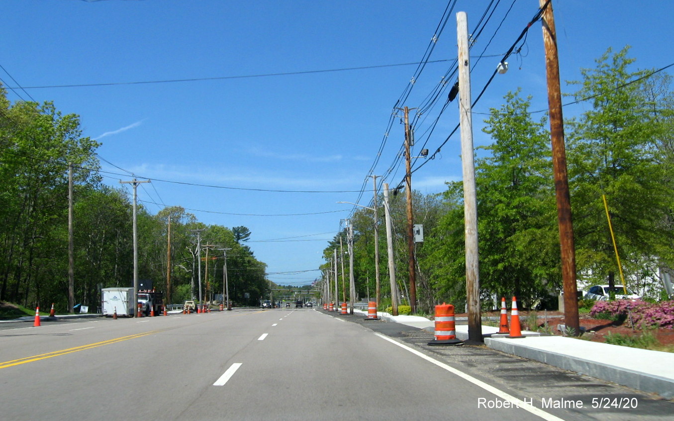
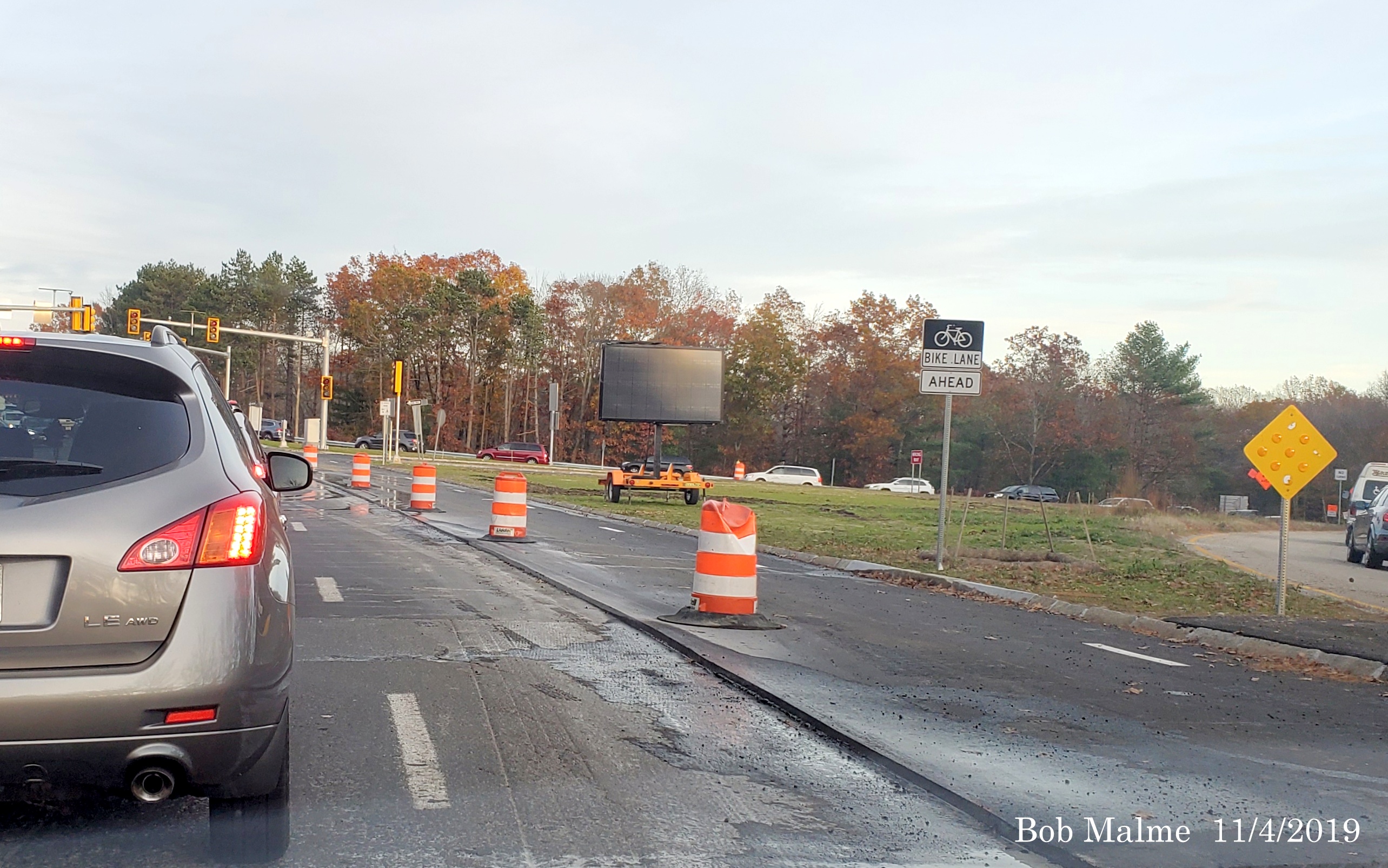
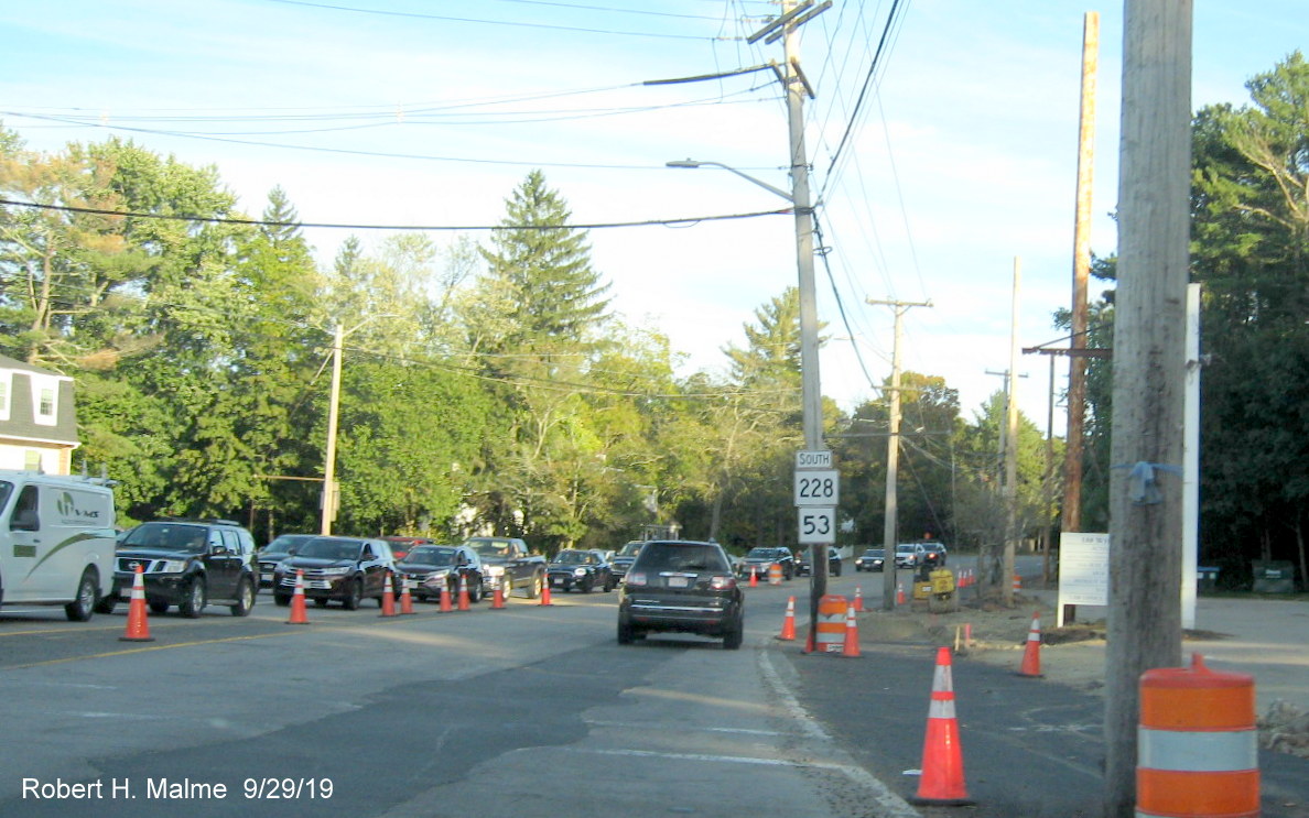
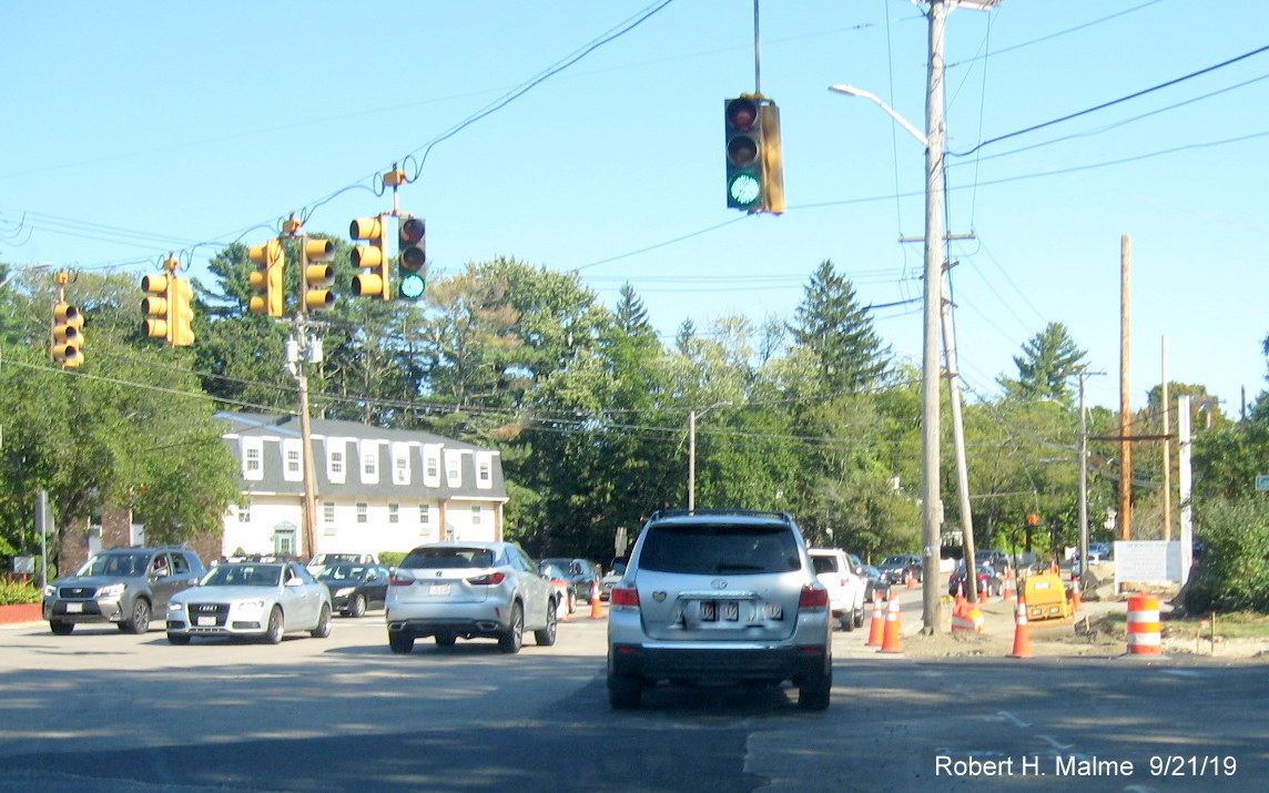
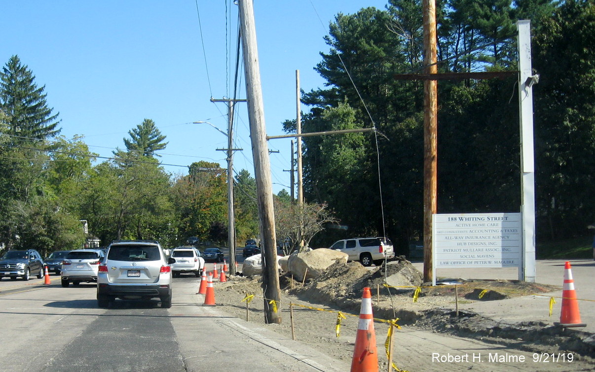
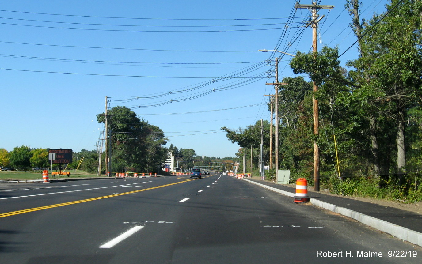
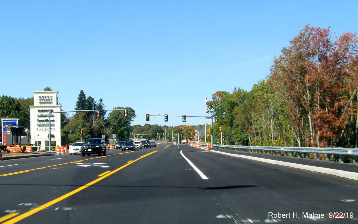
C. Derby Street Reconstruction in Hingham (2018-2021)
This project,
constructed under 2 different contracts between the fall of 2018 and
spring of 2021, rebuilt Derby Street between the Route 53 (Whiting
Street) intersection and the Route 3 interchange. As part of the project
the road was widened to add bicycle lanes, new traffic signals were put
up at the Route 3 ramps and at the intersection with Old Derby Street,
which was revised to add left turn lanes and that the road met Derby
Street at the same point. The intersection with Route 53 was also
redesigned so there is now also a dedicated left turn lane onto Route 53
North and Gardner Street. Work started on the Cushing Street to Route 3
portion in 2018 while the remainder from Cushing Street to Route 53 was
started in the spring of 2019. Work was completed west of Cushing Street
in the summer of 2020. While work on the Whiting/Gardner Street
intersection continued until May 2021 mainly due to slow progress in
removing remaining utility poles from widened right-of way in
2020. In October 2020 the contractor had to wait until the
received an Extra Work Order to proceed. Work then restarted in late
October and the supports for the new traffic signals were put up in
early December. The remainder of work, however, waited until the weather
warmed up in late March and April 2021 with the first project of
updating the signage. The final acts of repaving the road, redoing the
lane markings and revising the traffic signals occurred in May, with
completion just before the Memorial Day weekend. The project was
completed in late July with the addition of new guide signs at the Derby
and Whiting Street intersection. Here are photos taken in the 2 construction areas, latest photos first:
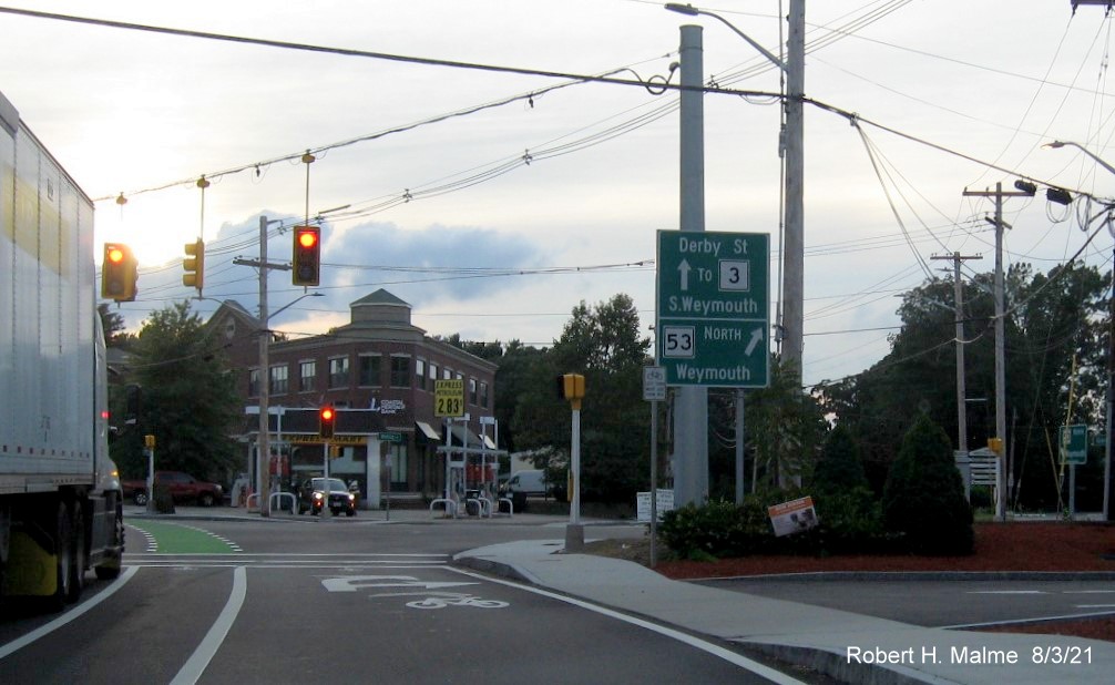
Latest photo taken on July 31 and August 3, 2021:
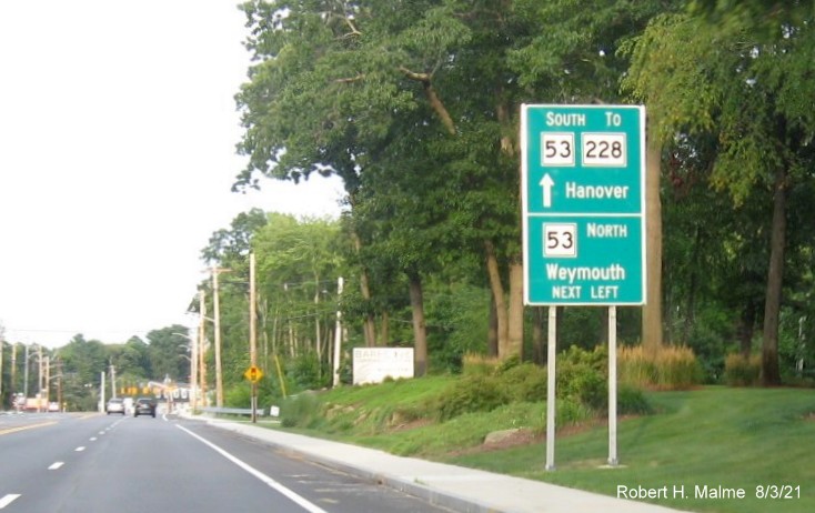
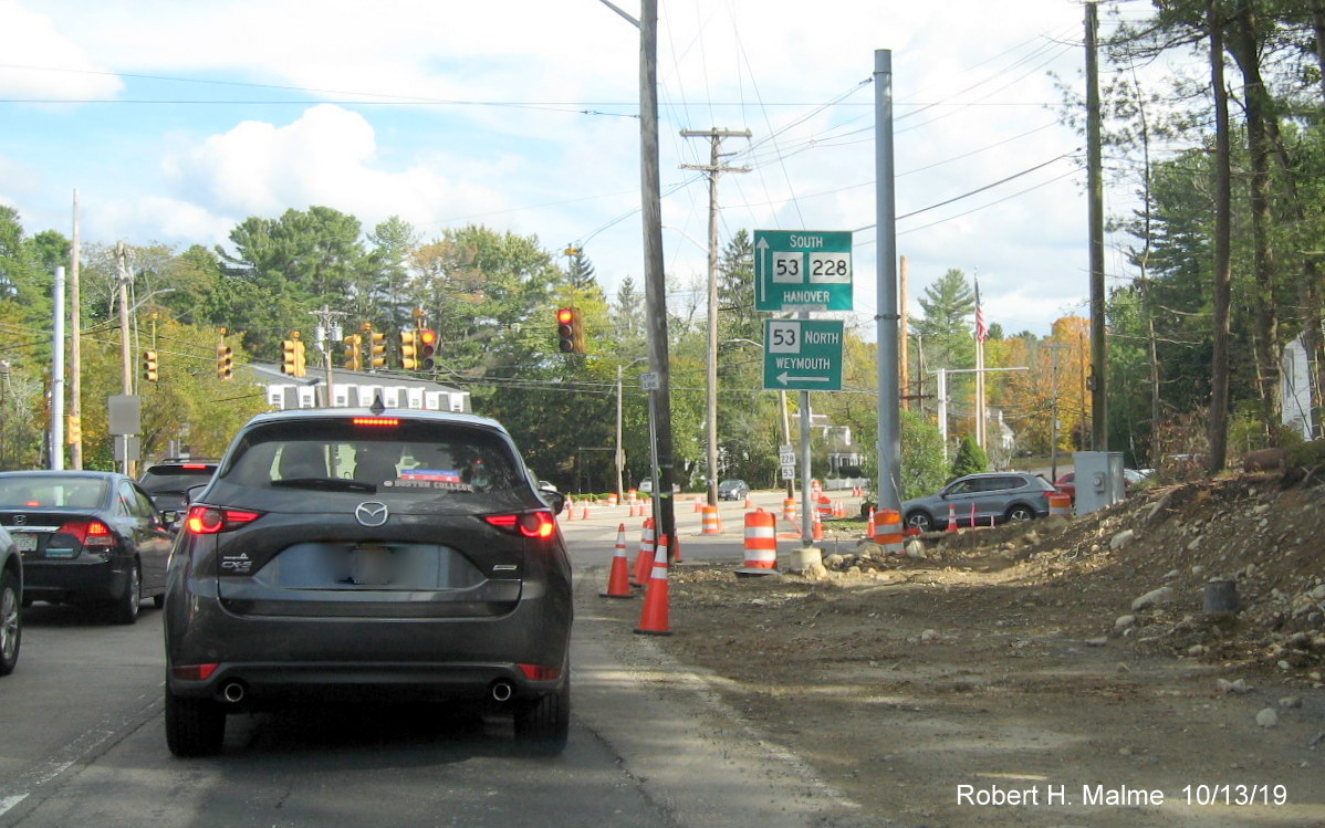
The first of two new style MassDOT guide signs on Derby Street
approaching Whiting Street. This one replaced a Route 53 South guide sign, and includes both directions and a reference to
Route 228. The destination in for 53 South is Hanover, though the To 53 auxiliary sign on Route 3 lists Norwell.
The second of the two new guide signs on Derby Street heading east.
This one replaces the previously erroneous South Route 53/228 sign. A 228 shield remains but this time accurately accompanied
by a 'To' label.
The new guide sign on Whiting Street heading north. This one
basically replaces the previously one but has a Route 3 shield. The additional one approaching the intersection has not
been replaced, at least at this time.
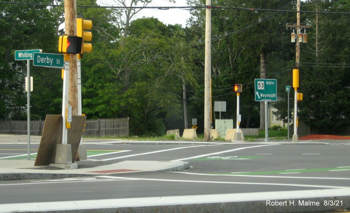
A more traditional new 'paddle' guide sign was also placed at the
intersection of Gardner and Whiting Street positioned to be seen from traffic entering the intersection headed east on
Gardner Street, guess they assume they can figure out Route 53 South goes the other direction.
Taken earlier on June 18, 2021:
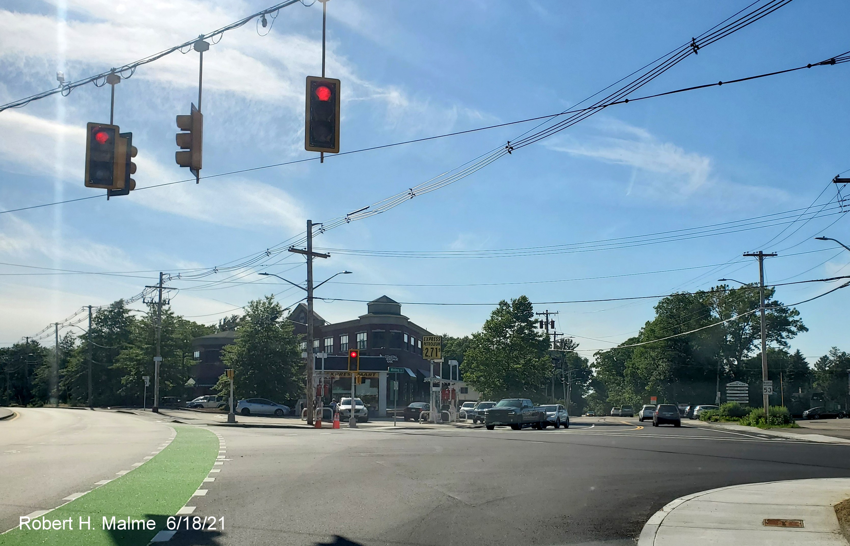
This final photo shows the painted bike lane heading from Whiting
Street/Route 53 North onto Derby Street and installed North Route 53 reassurance marker beyond the intersection.
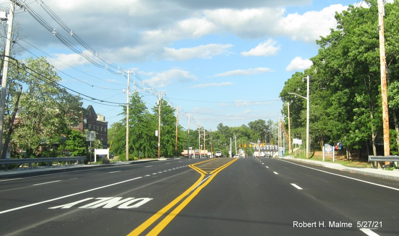
Earlier Photos Taken on May 27, 2021:
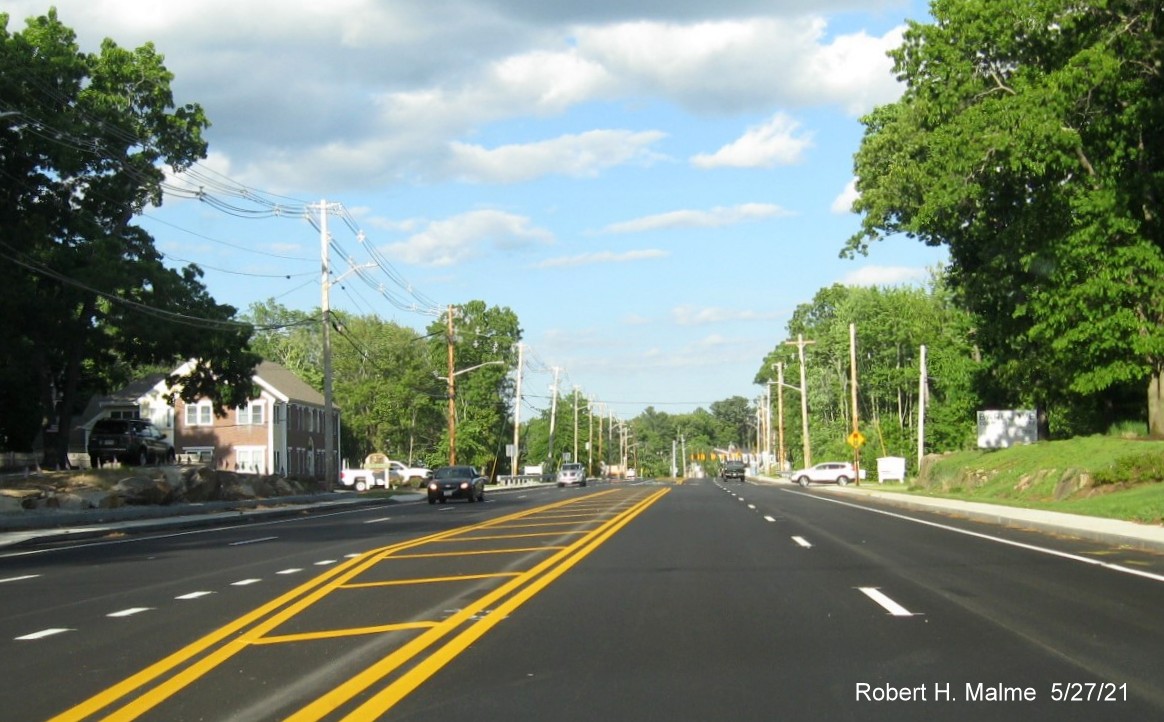
The final pavement and lane striping on Derby Street headed east
just beyond Cushing Street.
The final lane striping includes a dedicated left-turn lane for
Recreation Park Road as seen on Derby Street headed east.
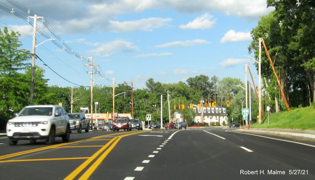
The beginning of the new dedicated left-turn lane for traffic headed
for Whiting Street (Route 53) North and Gardner Street east.
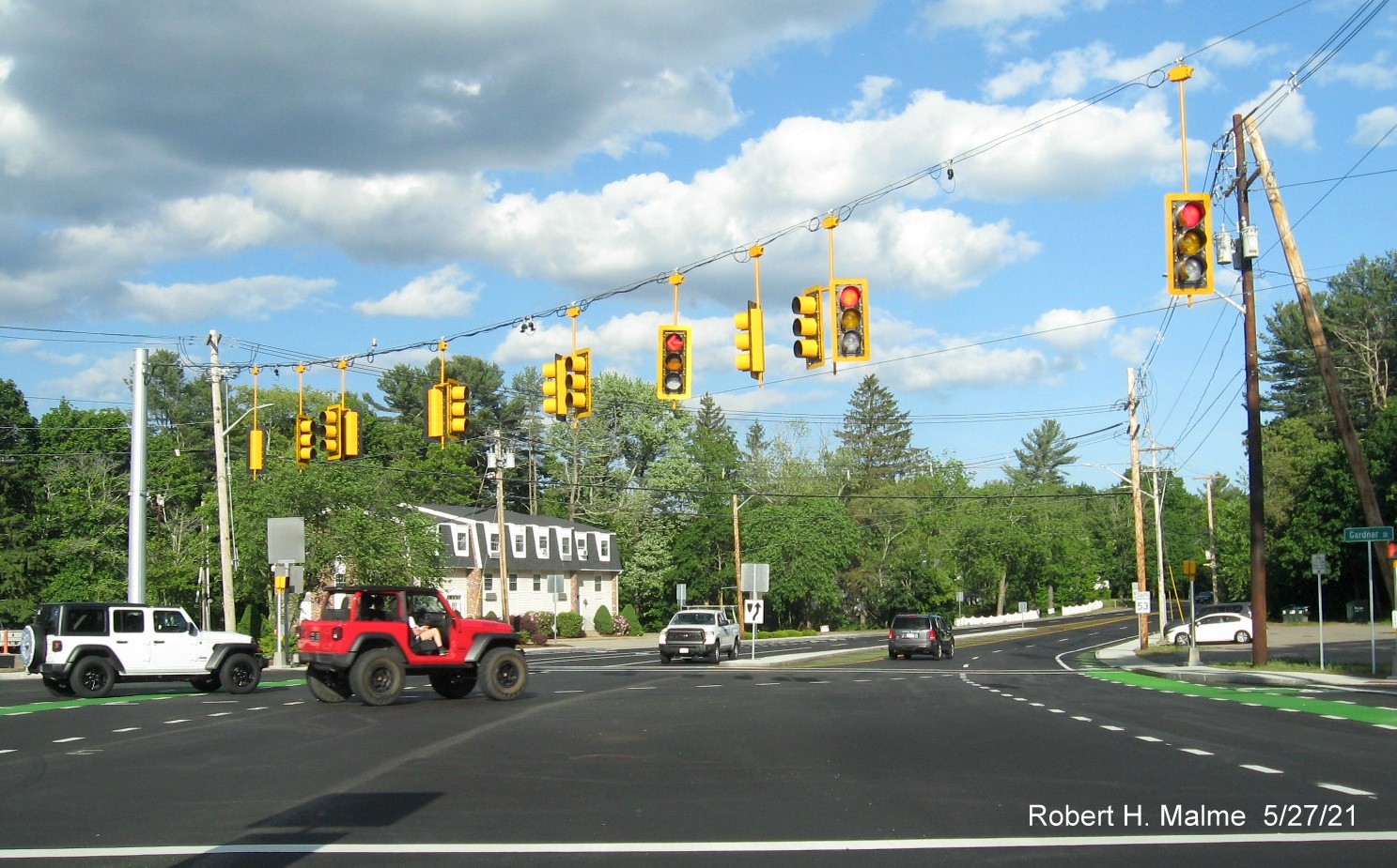
The new traffic signal at the new left-turn lane for traffic headed
for Whiting Street (Route 53) North and Gardner Street east.
Taken on April 4-11, 2021:
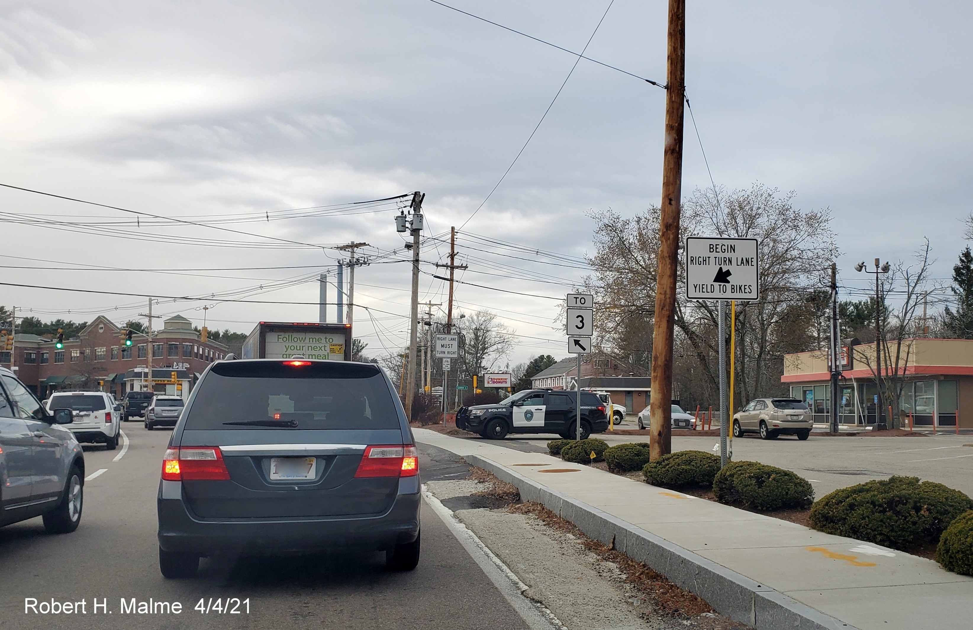
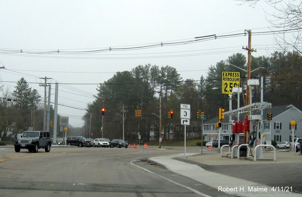
New signage placed in early April include a Right Lane Turn only
sign (and corresponding Bike Lane sign), and more importantly, a To Route 3 trailblazer to replace the former erroneous Route
228 North one, matching the information on the guide signs.
Along with new signs, a new median was being placed on Whiting
Street and at the end of Derby Street.
Construction barrels have reappeared along Derby Street approaching
Whiting Street, along with new signage.
Among the new signage, a hint of things to come, a Left Turn Only
lane sign.
New median being placed at the end of Derby Street, however
existing paddle/guide sign has not been replaced.
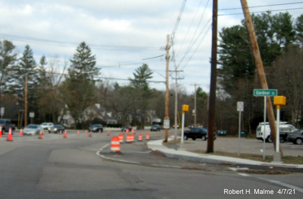
New Gardner Street signs have also been placed at the end of
Derby Street, plus a new South Route 53 reassurance marker beyond, hidden in photo by telephone pole with older sign on
it.
The new To Route 3 trailblazer southbound at the Derby Street
intersection has already been partially bent. (New South Route 53 reassurance marker referred to above can be seen in the
distance across the intersection).
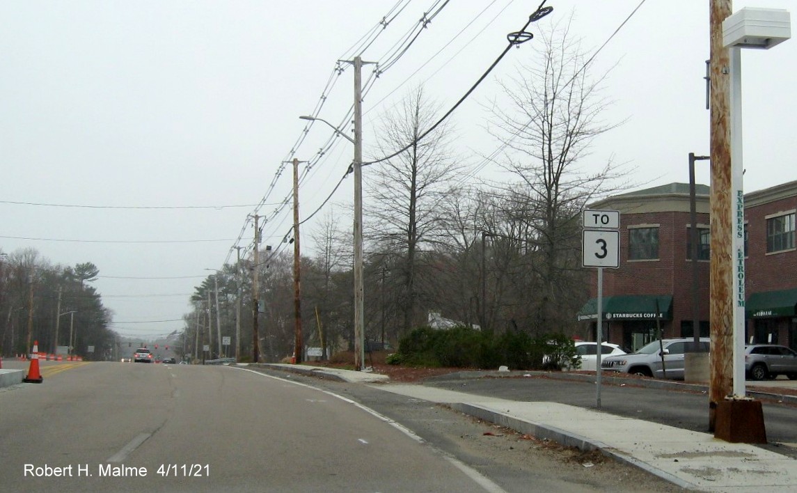
The new To Route 3 trailblazer heading west on Derby Street.
(End of new median can be seen on the left). The new sign was knocked down in May and reposted, but the Route 3 shield
remained bent until late July.
Taken December 13, 2020:
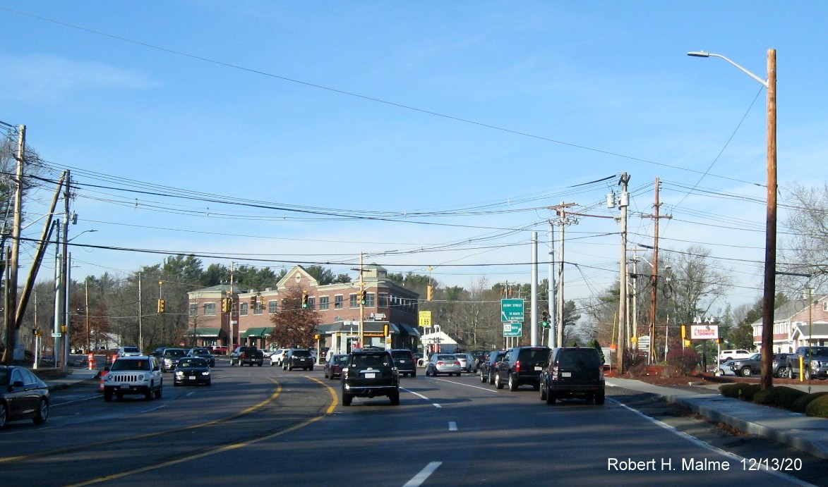
Looking north along Whiting Street (Route 53) toward the Derby
Street intersection after the new traffic signal supports were put in on either side of the roadway.
Earlier Photos
Taken December 6, 2020:
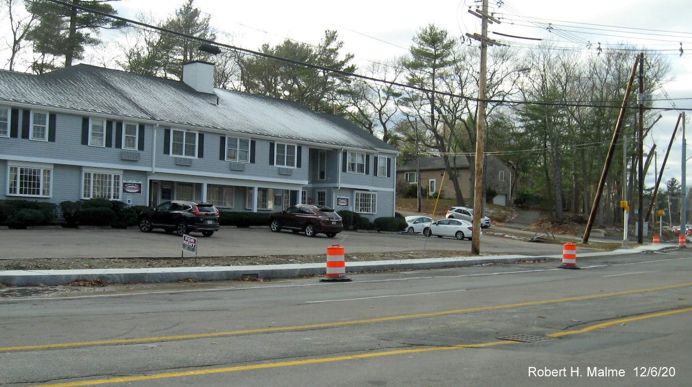
The rest of the sidewalk along the southbound lanes of Whiting
Street, Route 53, were installed in late November.
Taken November 8, 2020:
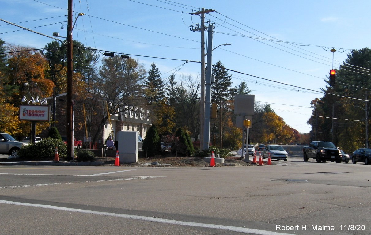
One of two new foundations placed for future traffic signals at
corner of Whting (Route 53) and Gardner Streets.
Taken September 27, 2020:
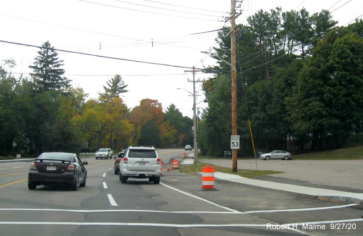
View along Whiting Street, Route 53 South, after the Derby/Gardner
Streets intersection showing recent removal of last utility poles in widened roadway.
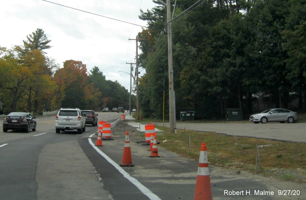
A closer view of the area now cleared of the last utility pole
which will allow final paving and the completion of the sidewalk.
Looking at the cleared southbound lanes of Route 53 heading north
toward Derby Street.
Earlier Photos, taken August 18, 2020:
One utility pole remains, along with guide sign in widened Derby
Street right-of-way approaching the Gardner Street/Whiting Street (Route 53) intersection.
Two of the remaining utility poles along Route 53 South were
removed in early August, the South 53 reassurance marker was moved to one of the new poles with no more gap where a Route
228 shield was taken down.
This last old pole headed south still remains and its removal is
preventing the completion of the sidewalk and final paving of the widened Derby/Gardner/Whiting Streets intersection.
Earlier Photos taken on August 2, 2020:
Looking east after Cushing Street. The remaining utility poles in
the widened Derby Street right-of-way were removed in late July.
Equipment and traffic barrels still remain in widened eastbound
Derby Street roadway approaching Whiting Street (Route 53).
Looking at the intersection of Derby Street with Whiting (Route 53)
and Gardner Street shows little progress in removing remaining utility poles and building new sidewalk (or removing outdated
guide sign).
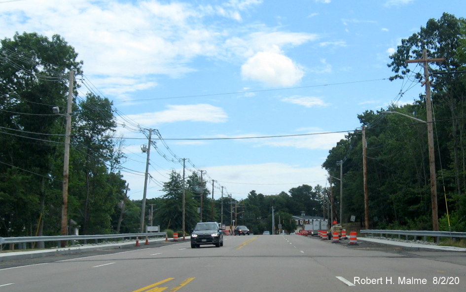
Photos taken on July 11, 2020:
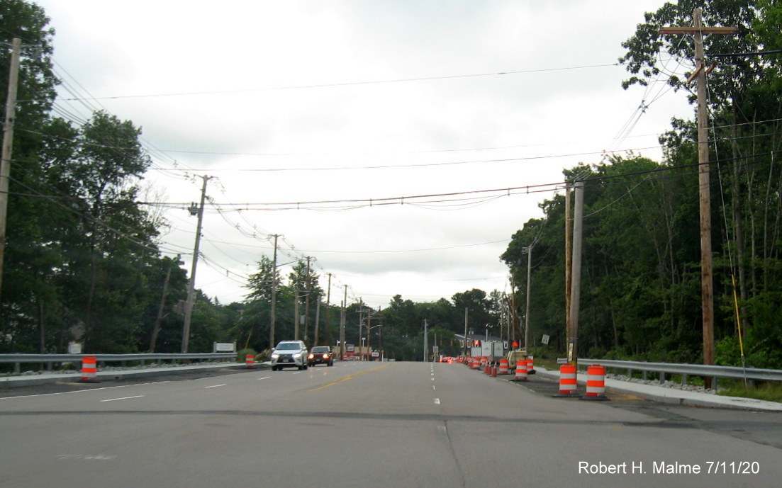
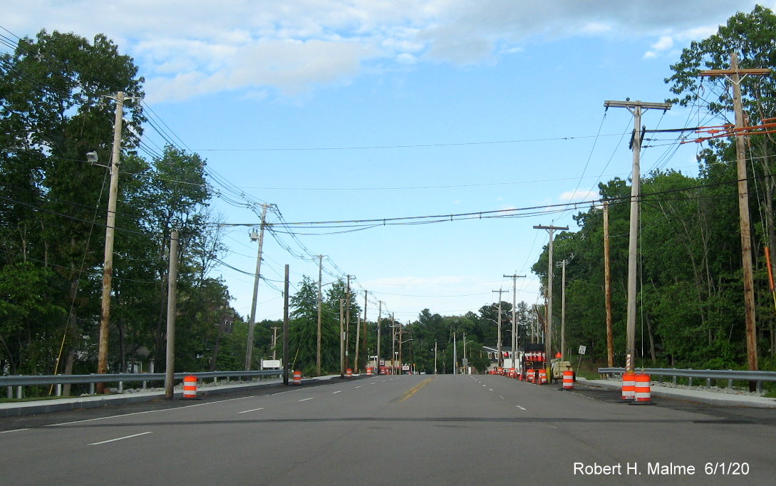
Looking east on Derby Street at widened roadway still awaiting
removal of utility poles before final reconstruction can begin.
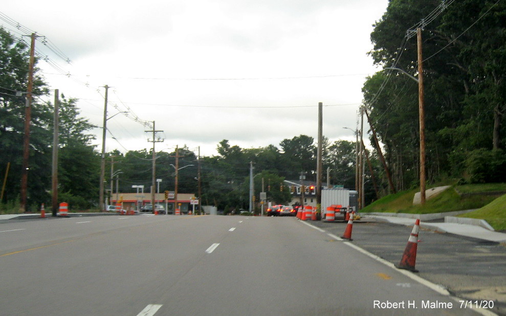
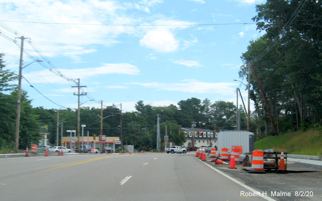
Two remaining utility poles straddle both sides of Derby Street
approaching Whiting Street (Route 53)/Gardner Street intersection along with construction equipment.
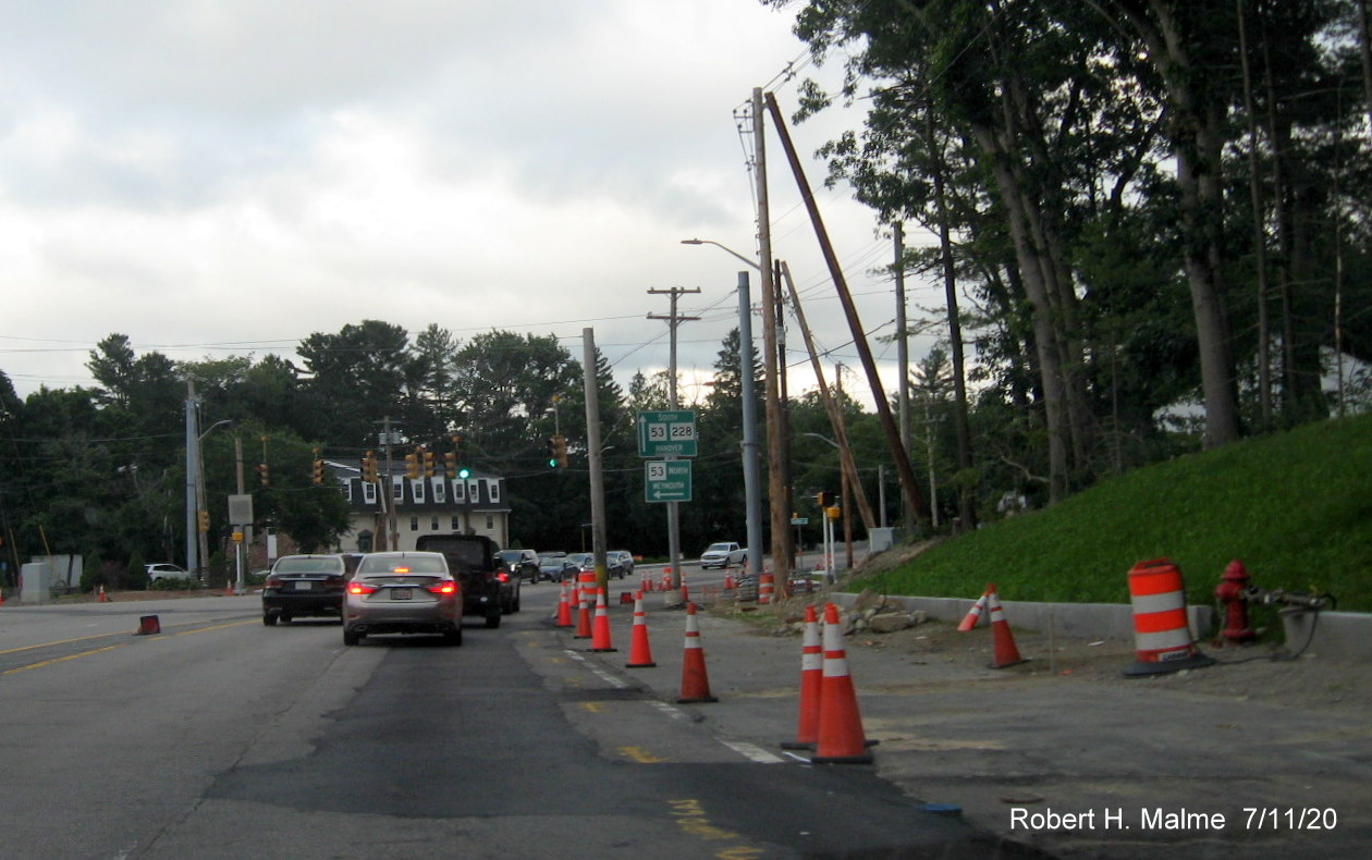
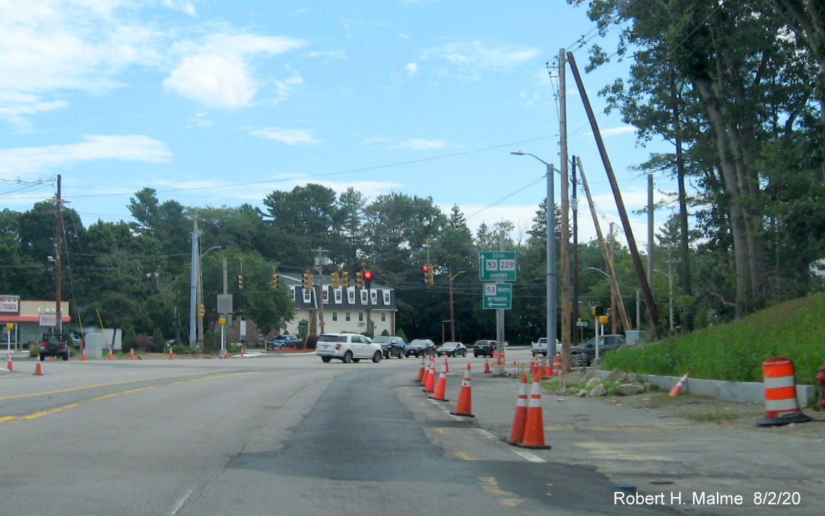
Curbing and grading still not completed heading east approaching
the Whiting Street (Route 53) and Gardner Street intersection. Note guide sign also in widened roadway and will need to be
removed (or better replaced with one with only Route 53 shield).
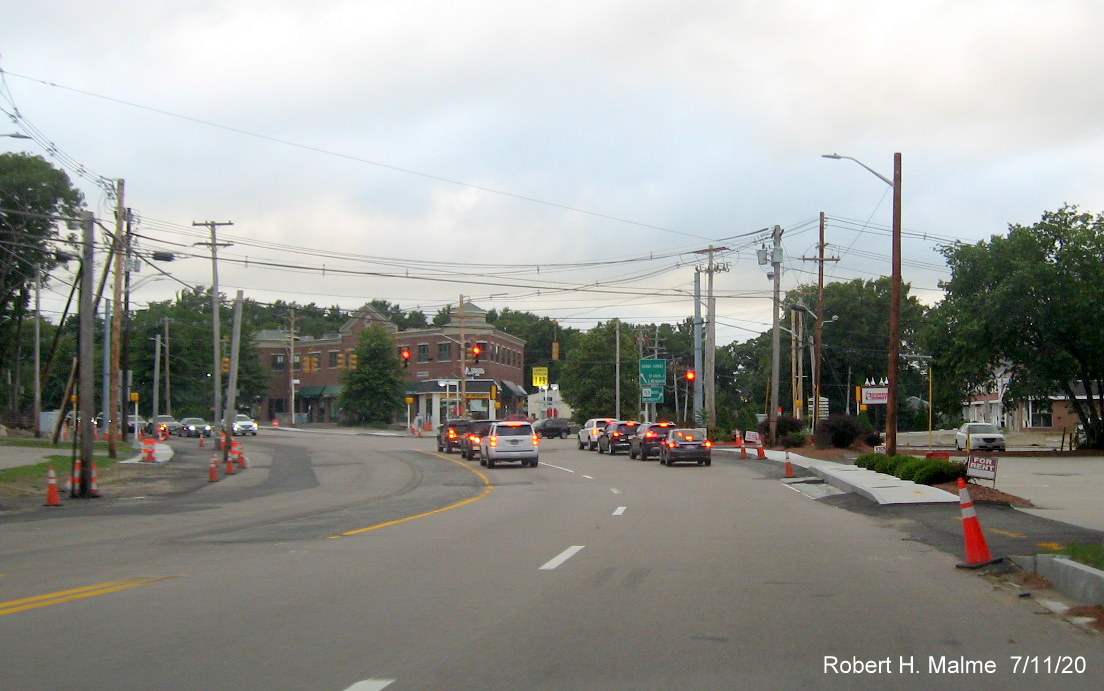
View along Whiting Street, Route 53 heading north relatively
unchanged since June except for the removal of the long-standing North Route 228 trailblazer.
Photos taken between May 20 and and June 1, 2020:
Not much progress seen in moving utility poles from photograph
taken a week before.
More curbing has been placed along right side of Derby Street
just prior to Whiting Street intersection, also new traffic and pedestrian signals have been placed upon supports seen in
photos below.
Closer look at a widened Whiting Street (Route 53) waiting for
utility poles to be removed to allow for final paving.
Work still remains to complete sidewalk along Route 53 after the
intersection, and the removal of utility poles.
Looking across Whiting Street from Gardner Street showing
construction of sidewalks continuing and installation of new pedestrian signals.
Looking east in vicinity of Recreation Road showing much work
still needed along south side of Derby Street (and utility poles still need to be moved on left).
Sidewalk work continues along the south side of the road
approaching Whiting Street/Route 53.
Work also continues on sidewalk on other side of Gardner Street
intersection with utility pole removal needed here also.
Looking west now along Derby Street headed toward Cushing Street,
showing need to remove remaining utility poles now in highway right-of-way.
Earlier Photos
Photo taken on March 15, 2020:
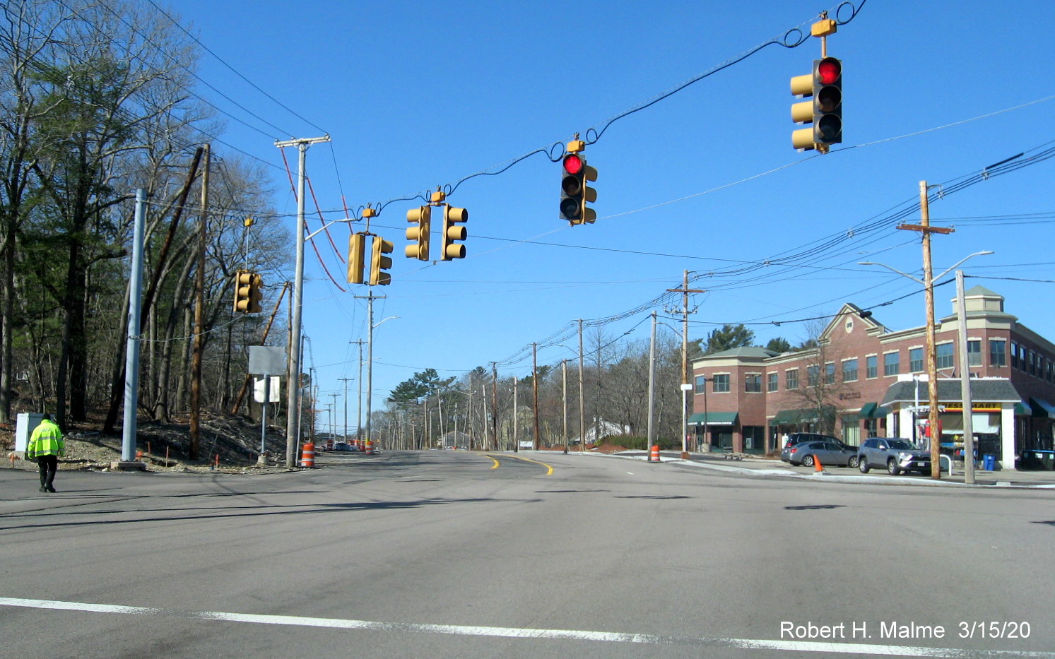
Photo shows resumption of work at Derby/Whiting and Gardner Streets
intersection after the winter hiatus. Utility workers (out of frame to the left) are moving utility pole wires from the old to
new poles. Work was halted again in early April.
Earlier Photos taken December 8, 2019:
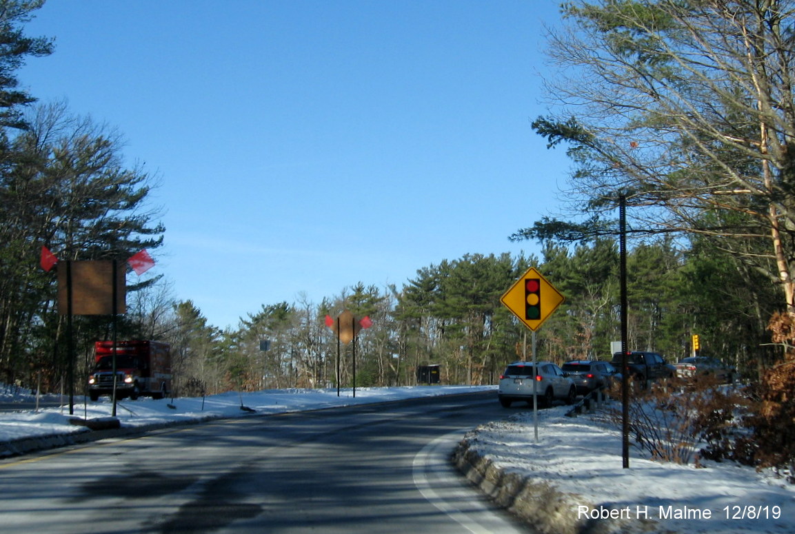
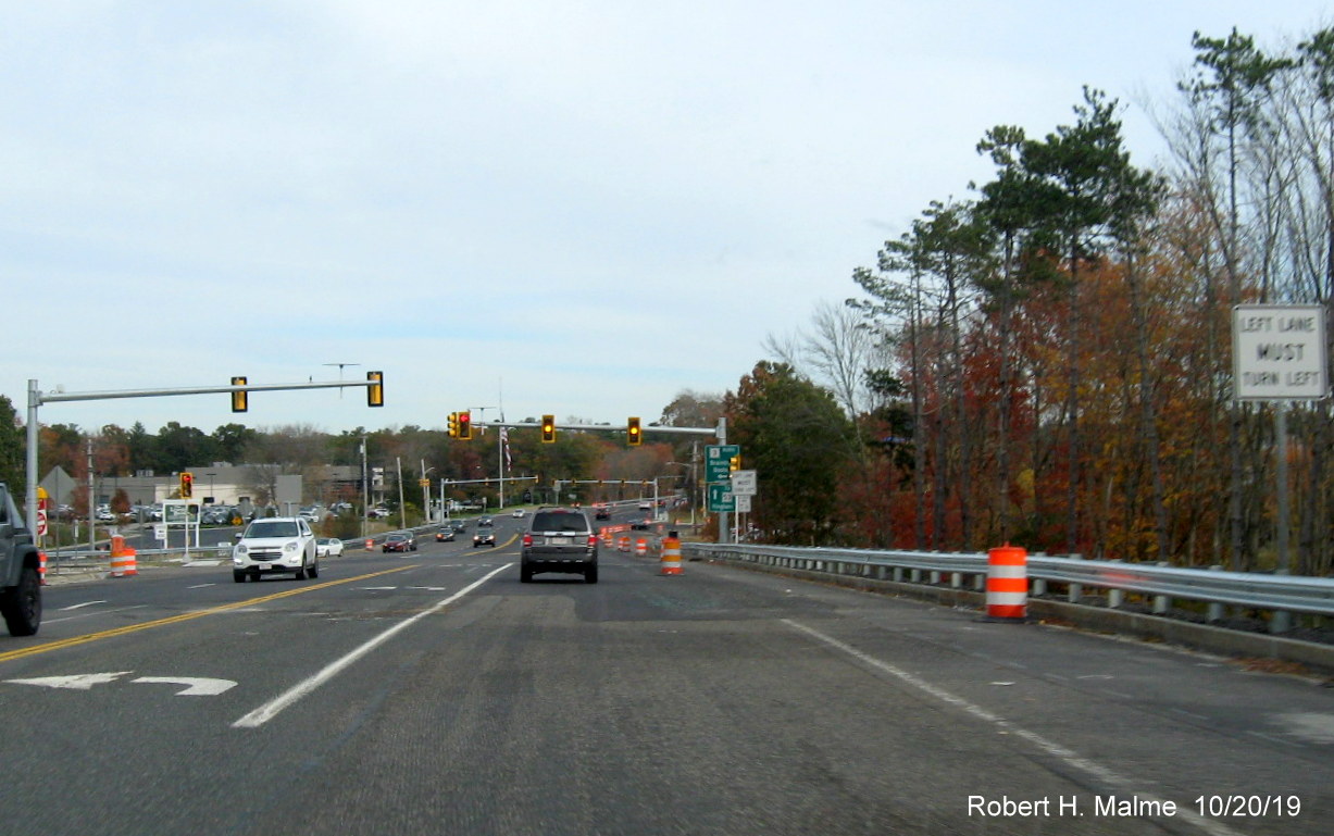
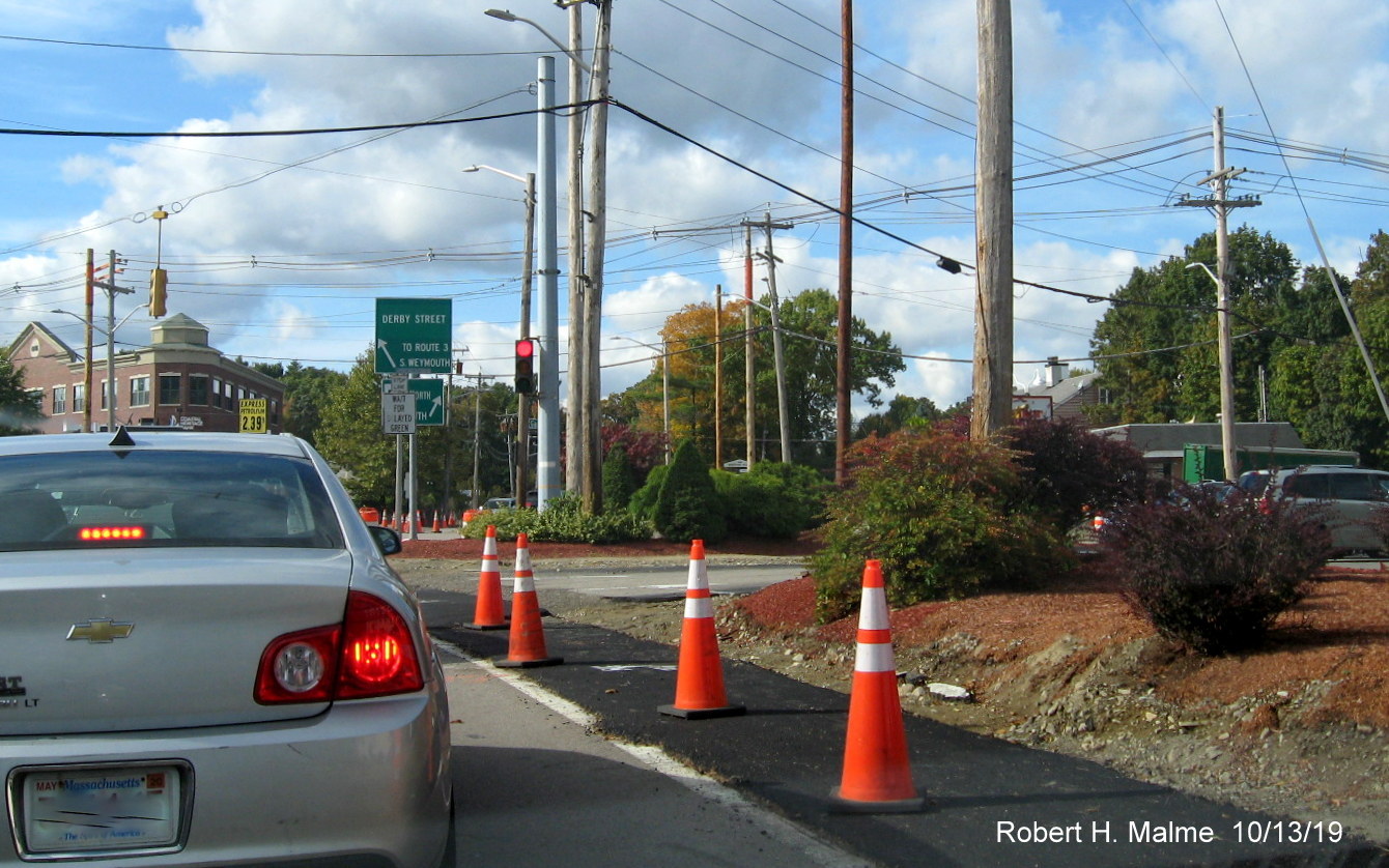
Traffic is backed up from activated traffic lights (beyond new
traffic signals ahead advisory sign) at the end of the ramp to Derby Street from Route 3 South. There is a 'No Turn on Red'
sign at the end of the ramp preventing traffic proceeding, like it used to, when there was no traffic coming.
The activated red light at the end of the ramp for traffic heading
left onto Derby Street.
Traffic on Sunday morning backed up on ramp from Route 3 South
due to 'No Turn on Red' sign on pole to new activated traffic signal.
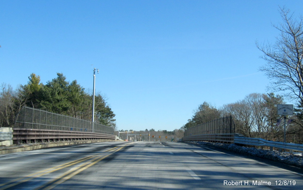
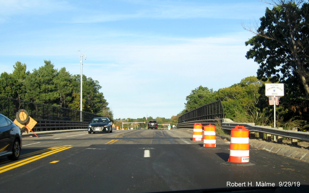
The new lane alignment on the Benjamin Lincoln Bridge carrying
Derby Street traffic over Route 3 is 2 lanes eastbound and one westbound, the bridge, only rebuilt several years ago, was
not widened.
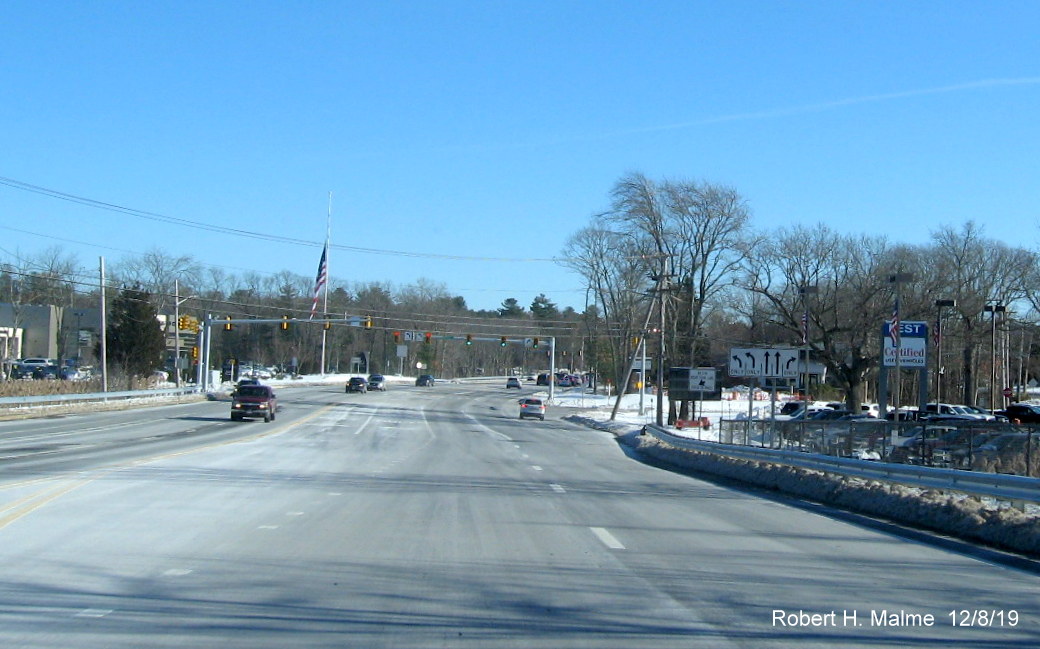
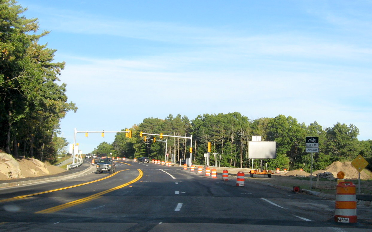
The final lane configuration between Route 3 and Old Derby Street
provides 2 through lanes in both directions, 2 left turn lanes eastbound and 1 westbound and 1 right turn only lane in each
direction.
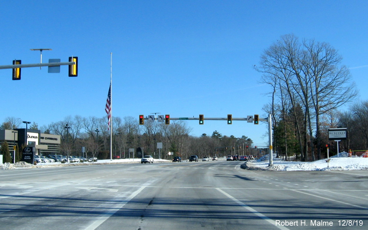
A look at the completed realigned intersection with Old Derby
Street headed east on Derby Street including striping for new bike lane across the intersection.
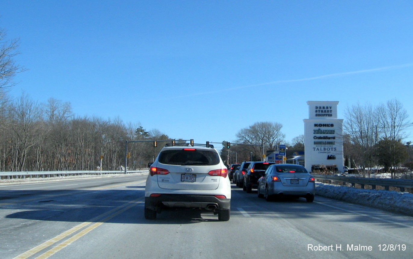
Traffic backed up from existing signals at entrance to Derby
Street Shoppes.
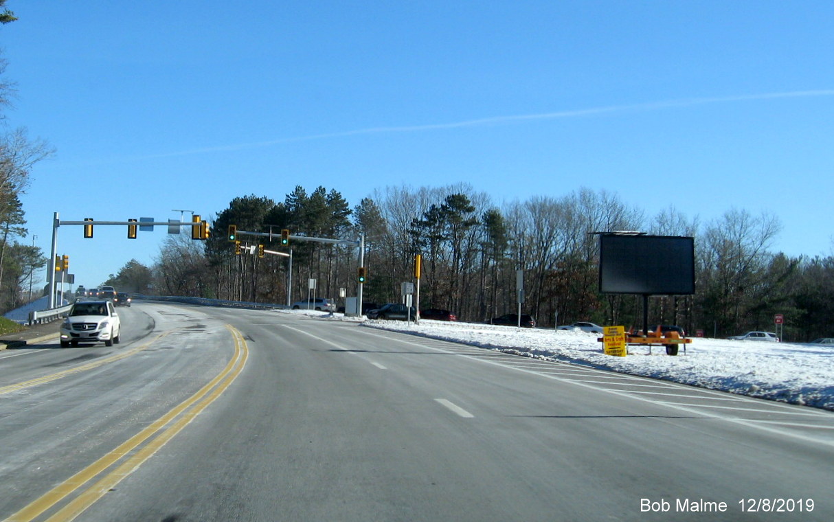
Earlier photos from November 2019:
Newly activated traffic signals the Monday before Thanksgiving,
notice the new lane ends sign after the westbound on-ramp.
The newly activated green traffic signal, traffic backed up due to
continued ramp construction on other side of bridge.
A little more than 2 weeks earlier:
Temporary lane striping placed on final paved section of Derby
Street headed west prior to Old Derby Street intersection, traffic signals still on flash mode.
New Junction Route 3 trailblazer in front of flashing traffic
signals. The sign is after the guide signs for Route 3 North (see photos below), disregard the October date.
A few days earlier:
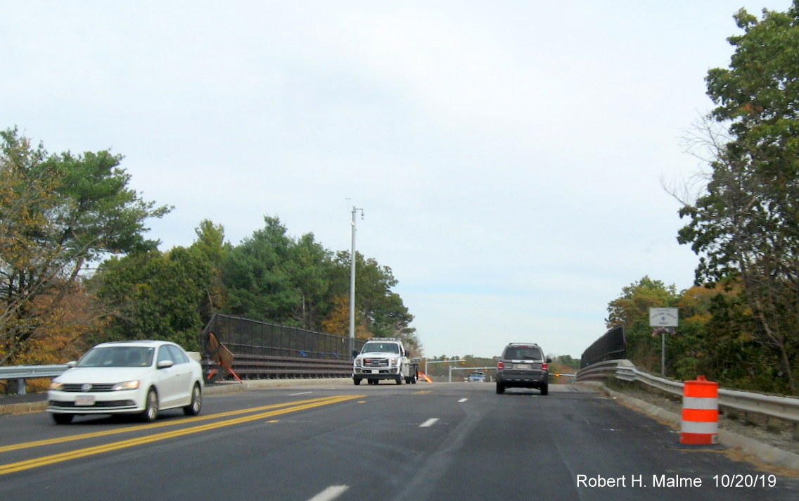
Final paving has started at the ramps to Route 3 South, heading
west on Derby Street.
Final paving proceeding on the Benjamin Lincoln bridge, traffic
in both directions using westbound lanes during the work.
Traffic signals still on flash mode at Route 3 North off-ramp
during final paving operations.
View of eastbound signage at Route 3 North ramp from westbound
lanes carrying two-way traffic during final paving operations.
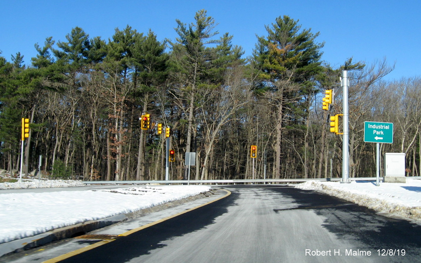
Earlier Photos from October 2019
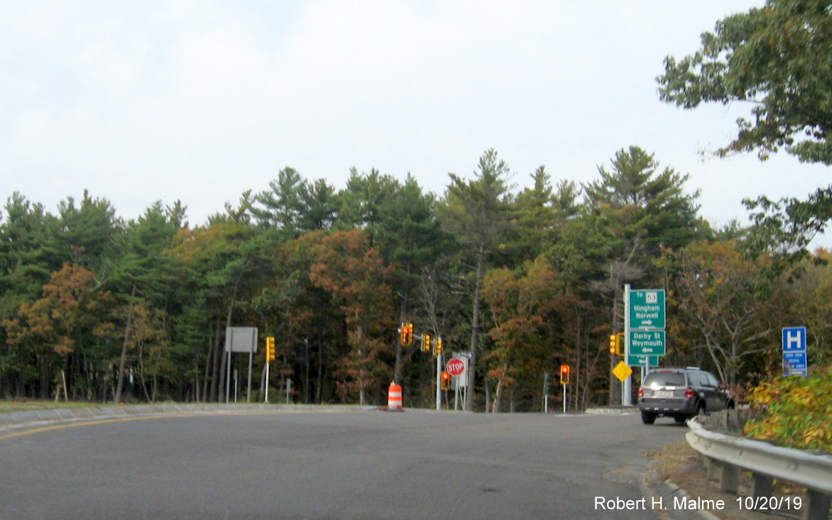
Traffic signals at end of ramp from Route 3 South now activated
on flash mode while signals for ramp to eastbound Derby Street are yet to be installed.
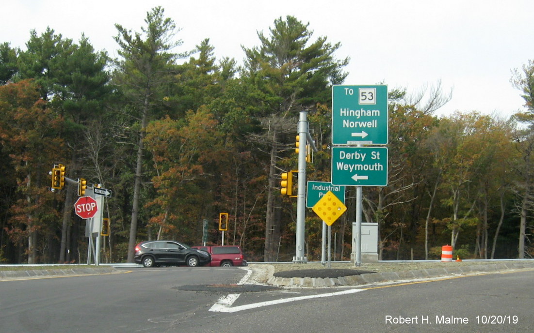
Closeup of new guide signs at split of ramp from Route 3 South,
sign behind reflector is for Industrial Park.
While initial final paving has taken place on Derby Street, no
pavement yet on the Benjamin Lincoln Bridge nor lane markings for 2 eastbound travel lanes.
New traffic signals at the Route 3 North ramps also in flash mode,
with left turn lane striped for on-ramp.
1 day earlier...
The new traffic signals at Derby Street in flash mode
(photographed when off) heading toward the Route 3 North ramps.
The new signals at the Route 3 North off-ramp caught in the act of
flashing yellow.
About a week earlier...
View of Derby Street heading east after Cushing Street showing
installation of new sidewalk along south side of road.
Cisterns and other construction equipment stored on south side of
widened Derby Street between existing road and new sidewalk approaching the Route 53/Whiting Street intersection.
More work is needed at Derby and Whiting/Gardner intersection
before new sidewalk can be built. Notice that the removed guide sign at the intersection has been restored.
Heading north on Route 53 approaching the Derby and Gardner Street
intersection, the widened portion has been given an initial paving by Dunkin' Donuts.
Earlier Photos from September 2019:
Temporary lane markings placed before final paving begins on
Derby Street at Route 3 South ramps in late September.
Preliminary paving stops at beginning of Benjamin Lincoln bridge
over Route 3, bridge lane markings do not match surrounding road's.
Some paving has started along the shoulders after the placement of
new guardrails just east of the Benjamin Lincoln Bridge.
Preliminary paving of lines leading to Old Derby Street has 1
designated left-turn lane eastbound (it will be 2 in the final configuration).
New traffic signal heads turned to the right prior to activation
with wire placement in road prior to Old Derby Street completed.
Drain grate frame still rises above existing pavement between
entrances to the Derby Street Shoppes (Road Work Ahead sign is for next project after Cushing Street).
Beyond the Derby Street intersection with Gardner and Whiting
Streets, the erroneous South Route 228 reassurance marker has been restored, this time nailed to a to be removed later
telephone pole.
Photos from a week earlier on September 21/22:
Looking east on Derby Street after Cushing Street showing completion
of new sidewalk construction.
Stacks of curbing remain for new sidewalk closer to the Whiting
Street (MA 53)/Gardner Street intersection.
New sidewalk work had not yet reaching the Whiting/Gardner Street
intersection. Back of erroneous South Route 228 reassurance marker can be seen, this was taken down in December.
At the intersection with Whiting Street (Route 53) and Gardner
Street, sidewalk after Gardner Street has been removed along with South Route 53/228 reassurance marker that would be put back
up a week later.
Closeup view of lane widening construction after the Derby Street
intersection, future part of Route 53/Whiting Street has been graded, route signs removed.
Looking west on Derby Street just past Cushing Street showing paved
lanes being marked up for final pavement work.
Similar scene further west toward the Derby Street Shoppes
entrance.
Temporary single dedicated left turn lane for Old Derby Street
marked up prior to final paving headed west toward North Route 3 ramps.
Work continuing at site of new traffic signals, not yet activated on
flash mode at off-ramp from Route 3 North.
Problem area at Benjamin Lincoln bridge for westbound Derby Street
traffic, new markings for center lane, but old shoulder fog line has not been moved creating potential traffic problem.
More markings on the pavement prior to the final paving of Derby
Street at the new dedicated left-turn lane for the South Route 3 ramp.
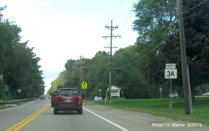
D. Trip along "The Coastal Route," Route 3A North in September 2018:
Photos taken from Plymouth to Hingham on Route 3A, (mostly) the
old coastal route between Boston and Cape Cod, which was given the Route 3A designation (after first being New England Route
6A) in the 1920s. The other route, the inland route or "Cape Way" got the primary Route 3, then Route 53, number at the same
time:
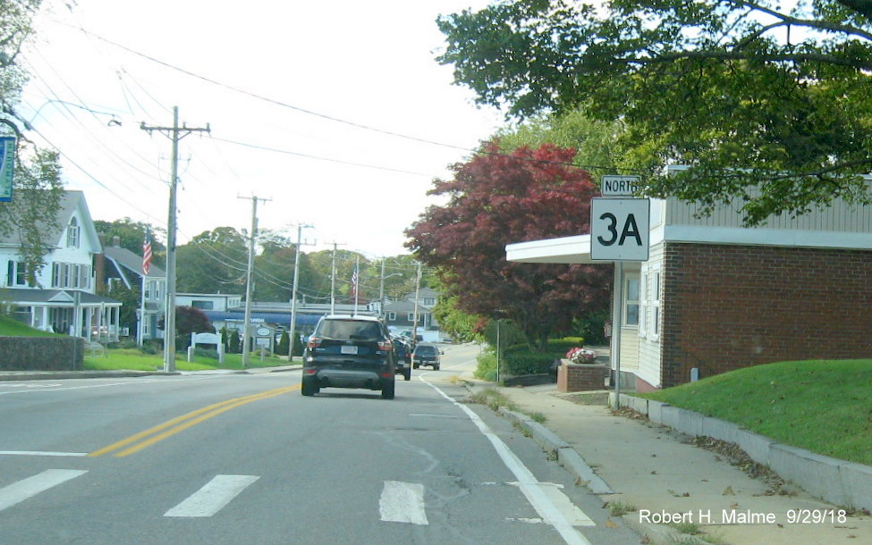
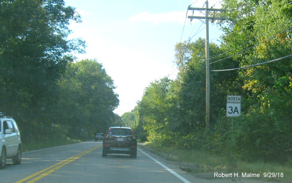
A modern, and very large, North Route 3A reassurance marker seen
in North Plymouth.
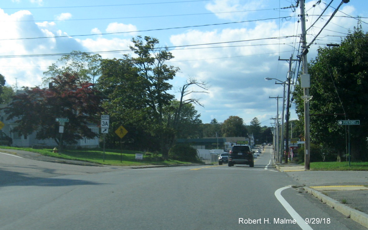
A North Route 3A trailblazer on the left side of the road, going
left leads you back to Route 3 just north of US 44.
A guide/paddle sign, not of recent vintage at the intersection with
Chestnut Street in Duxbury.
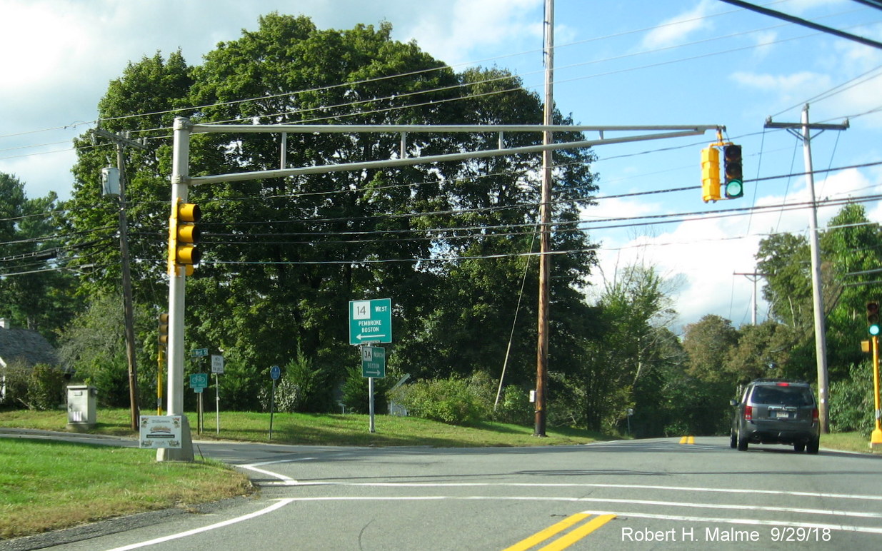
Guide/Paddle signs at the intersection of Routes 3A and 14 in
Duxbury.
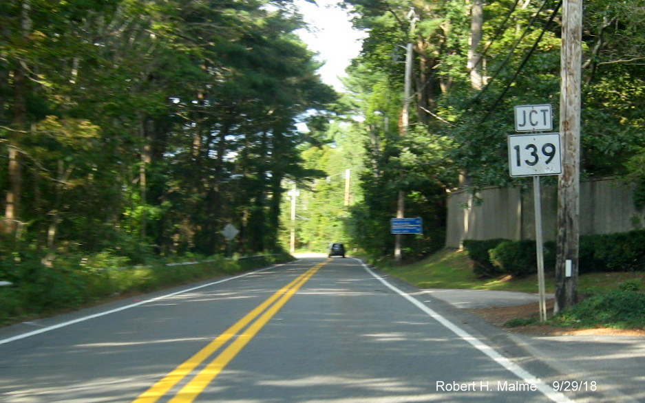
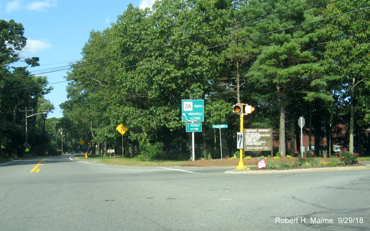
Junction Route 139 trailblazer approaching first of two intersections
with this route in Duxbury, with an interesting twist...
You turn right to go onto Route 139 West and left to go east.
Route 139 does an 180 degree turn at the Marshfield coast. MassDOT apparently decided changing directions was too confusing.
The previous guide signs at this location had no direction.
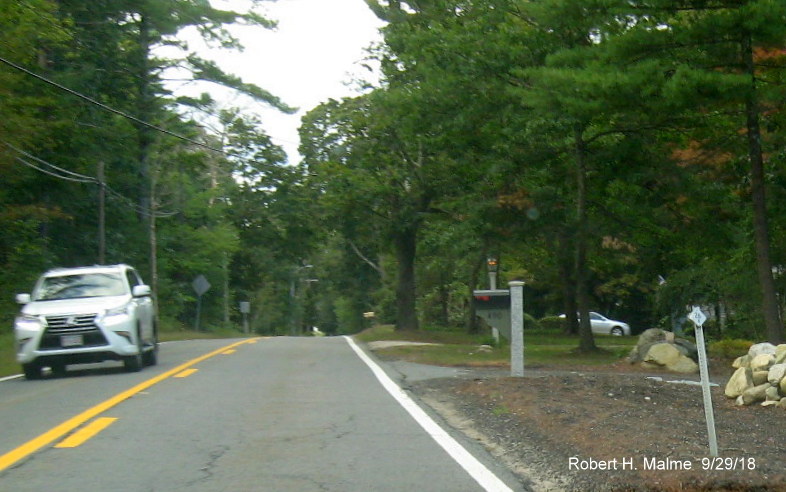
One of many old-style Mass. DPW tenth-mile posts along this stretch
of Route 3A. These were installed along most routes in the state in the 1970s.
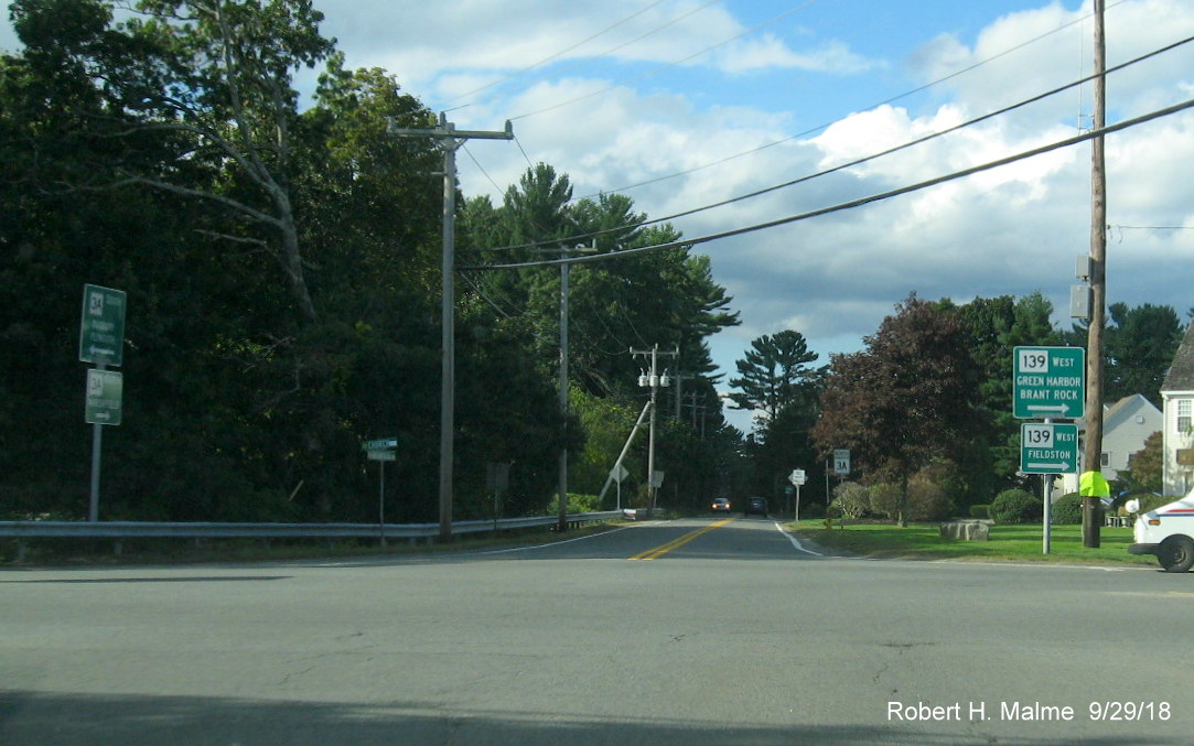
Recent Guide/Paddle sign installations approaching the second
intersection with Route 139 in Marshfield, the sign directions here are geographically correct.
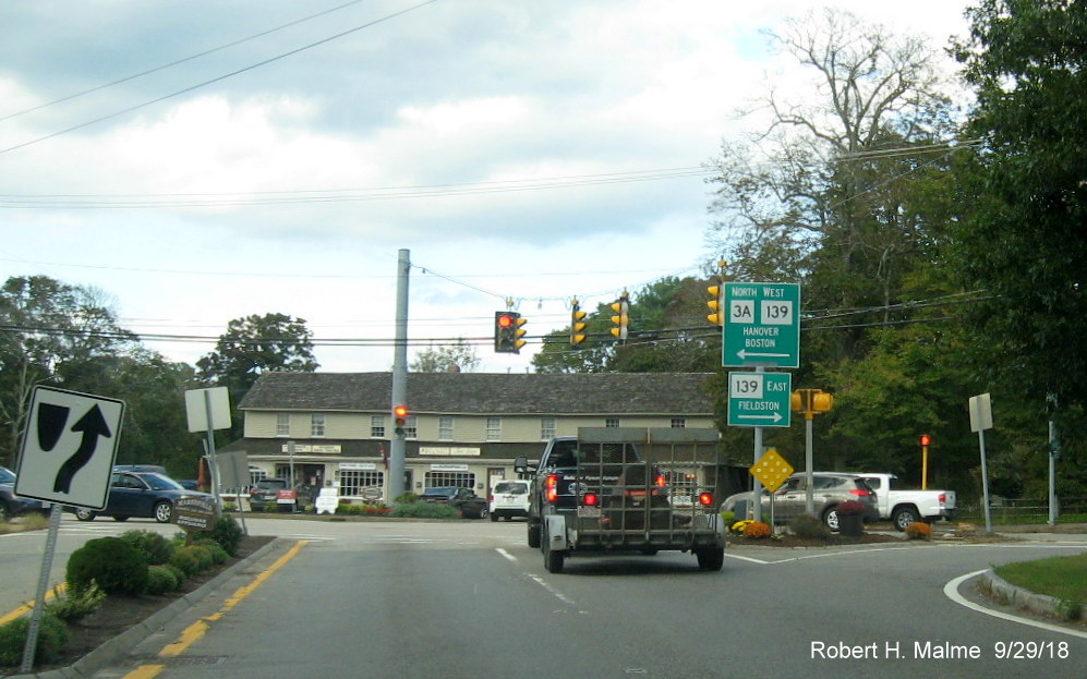
The signs at the intersection itself, Route 3A North joins Route
139 West for about 1/2 mile.
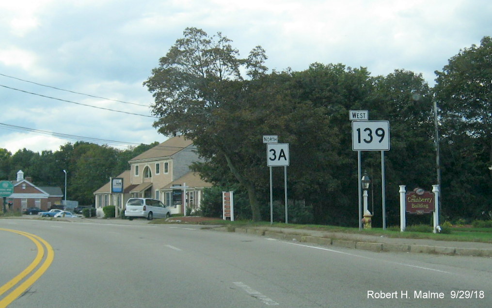
MassDOT decided to put the somewhat modern style large route markers
on separate posts west of the intersection of Routes 3A and 139.
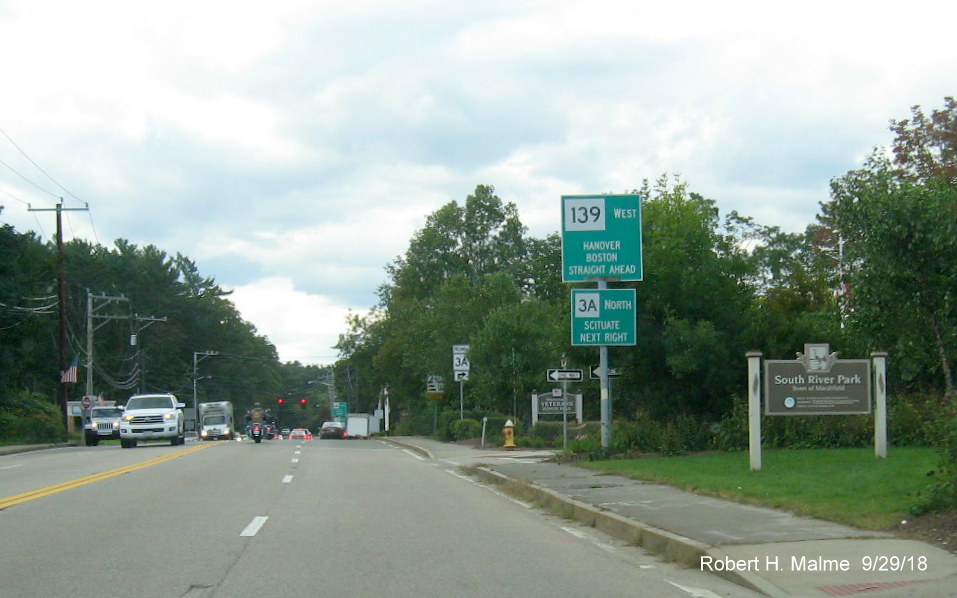
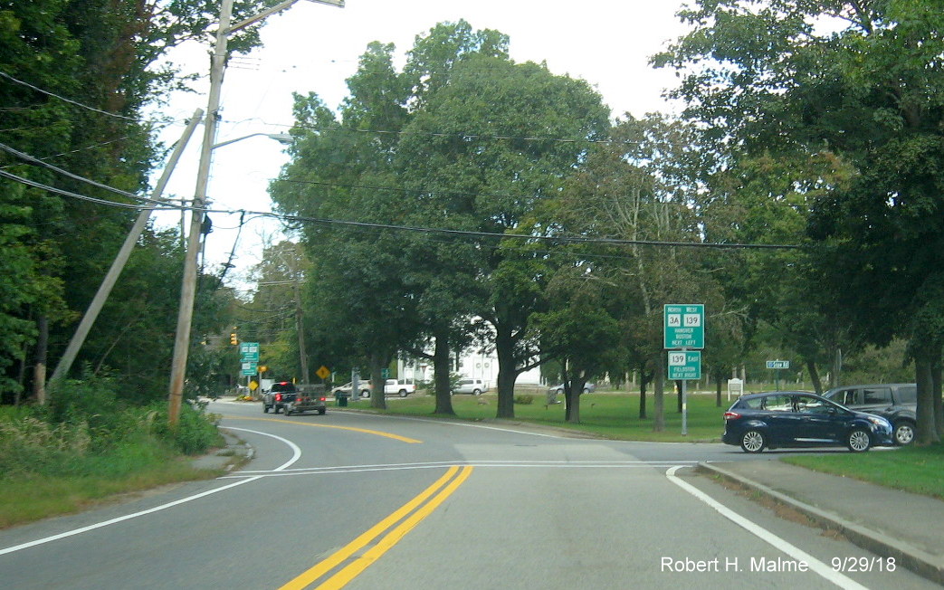
Slightly older Guide/Paddle signs approaching the split of Route 3A
North and Route 139 West in Marshfield.
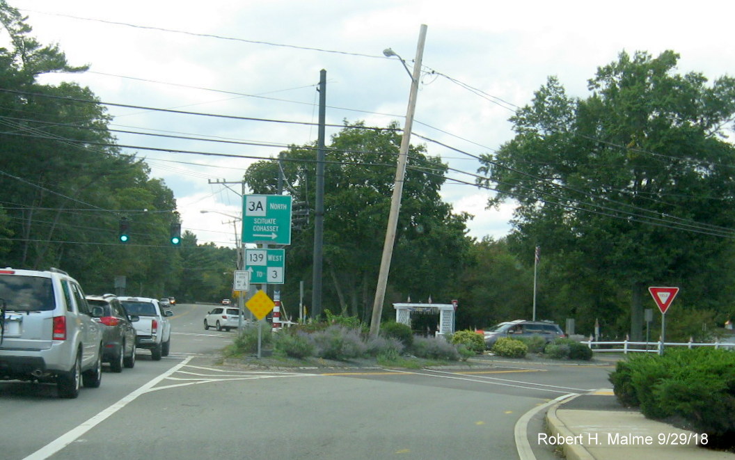
The signs at the actual intersection. Of course, you can get to
Route 3 using 3A, but it would take longer.
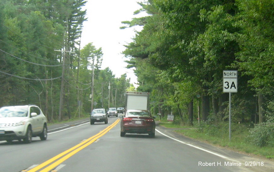
This part of Route 3A in Marshfield north of Route 139 was recently
reconstructed and received new signage, such as this North 3A reassurance marker.
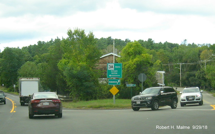
One of the signs not updated was this Guide/Paddle sign at the
intersection with Ferry Street. Humarock is a coastal neighborhood of Marshfield.
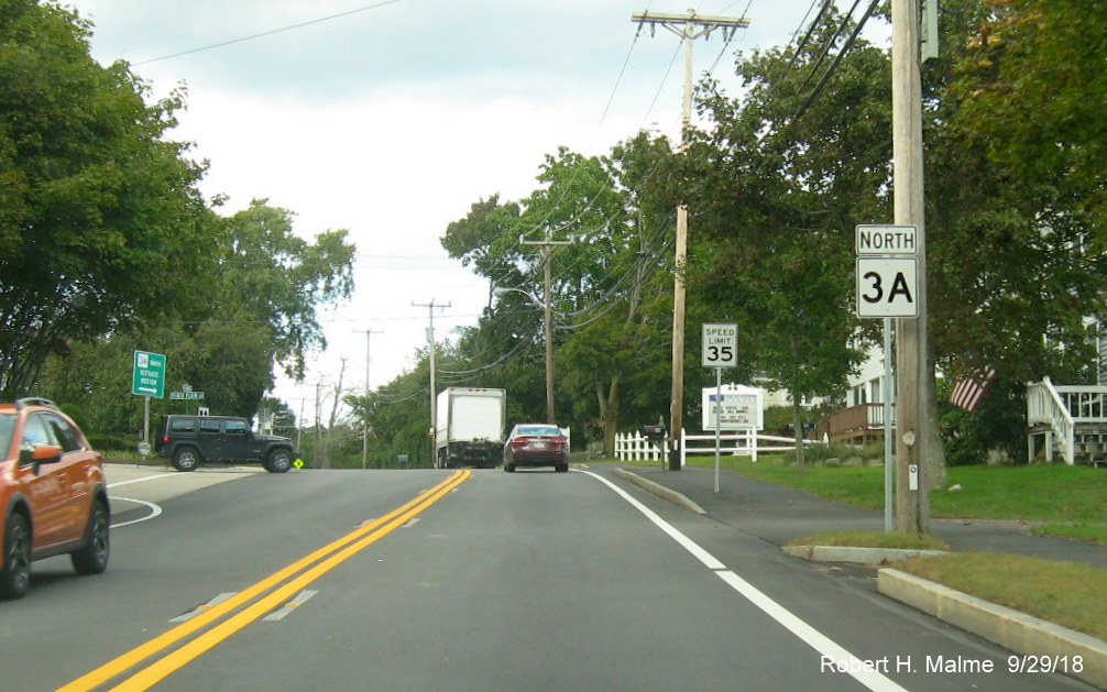
Another new North Route 3A reassurance marker heading toward the
border with Scituate.
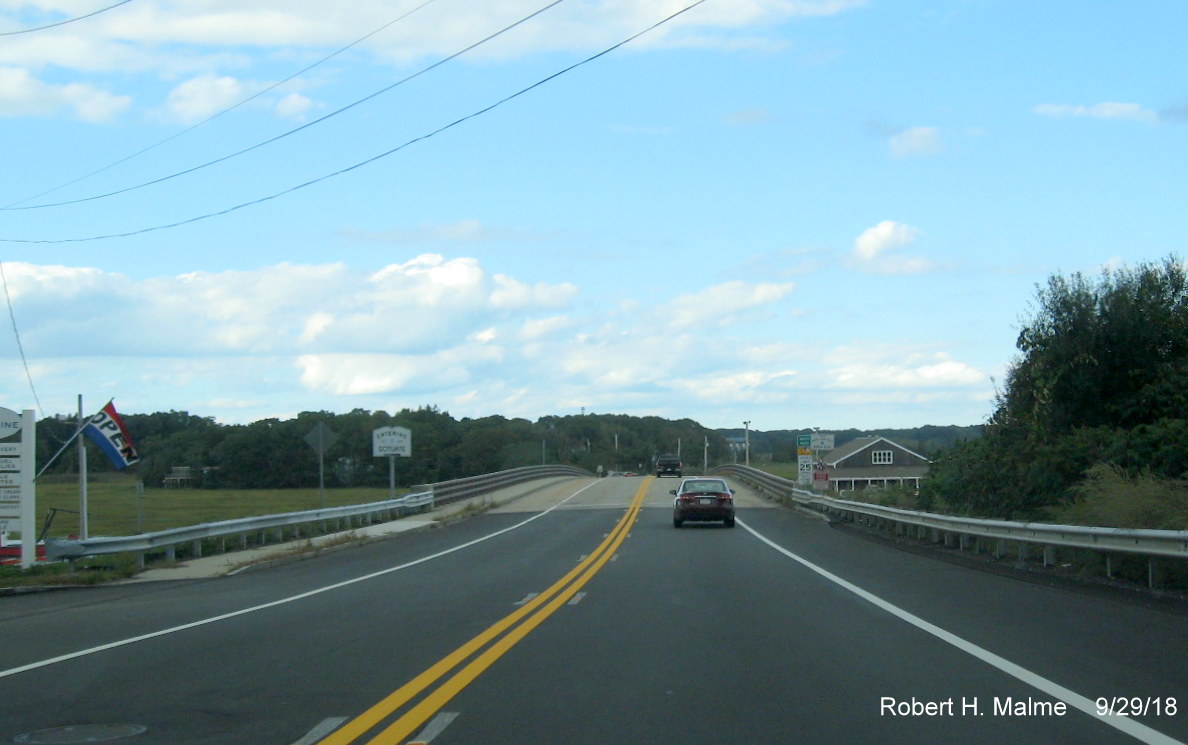
Heading acros the latest iteration of the North River bridge that
is the border between Marshfield and Scituate. The new bridge was built in the 2000s.
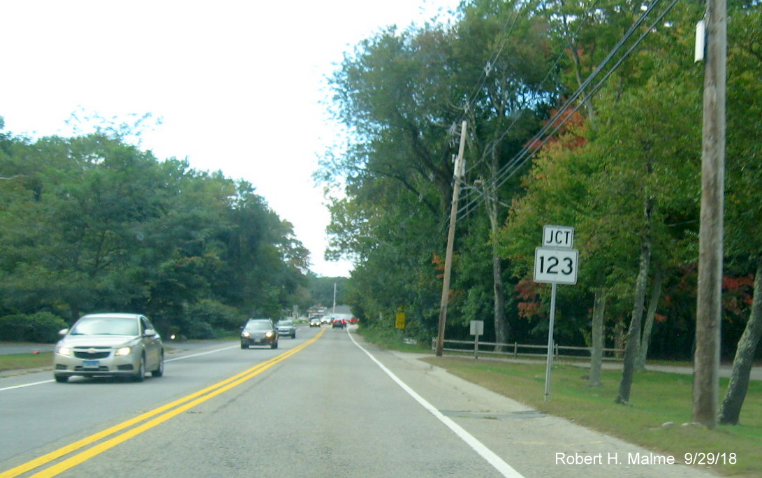
New Junction Route 123 trailblazer in Scituate.
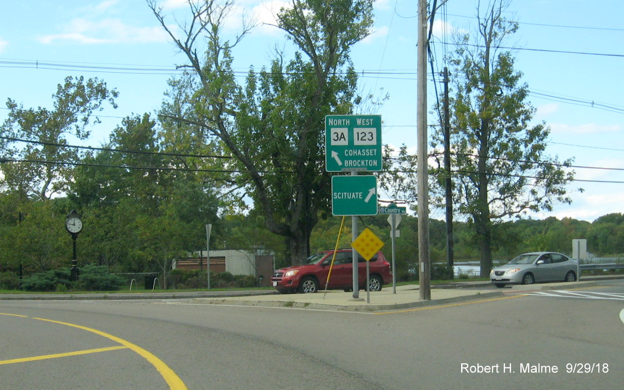
Guide/Paddle signage in the roundabout at the intersections of
Routes 3A and 123. The Scituate sign points to Country Way, the original Coastal Route, and original alignment of Route 3A
until 1933 when Justice Cushing Way was completed as a bypass between Scituate and Hingham.
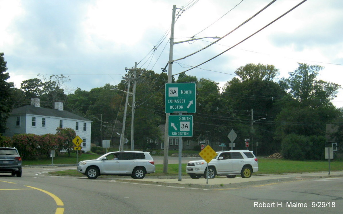
Additional signage in the roundabout which marks the eastern
terminus of Route 123.
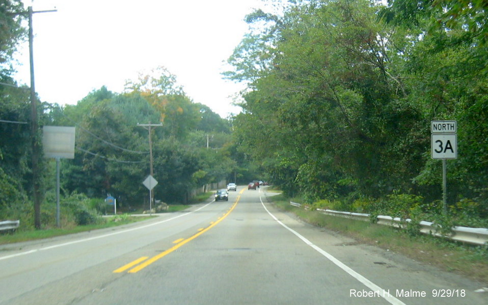
A typical North Route 3A reassurance marker in Scituate.
Except for one of the several on wide 3-digit shields near Scituate
High School.
An older North Route 3A reassurance marker in the next town to the
north, Cohasset.
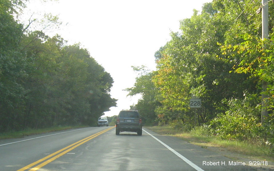
A rather old Junction Route 228 trailblazer in Hingham. This
dates back to the 1980s and was not replaced, unlike shields heading south, during the recent Division 5 sign replacement
project (perhaps it wasn't spotted among the plant growth).
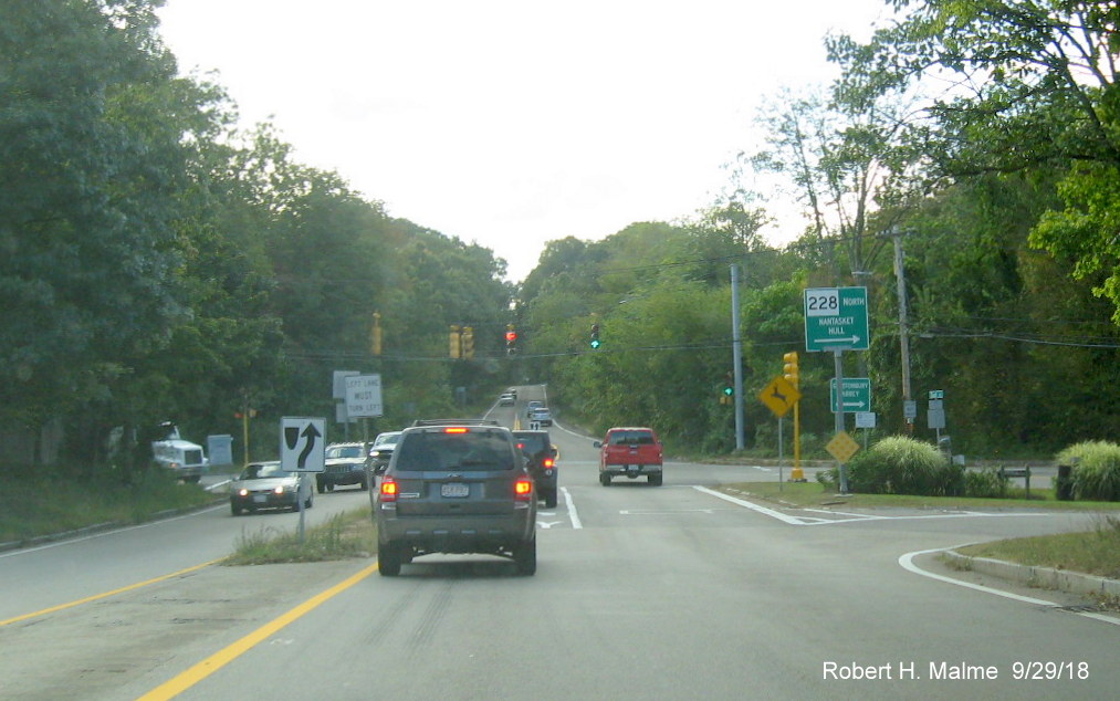
Guide/Paddle signage at the Route 3A/228 intersection. There
currently is no signage for 228 South, the small paddle sign disappeared a few years ago and has not been replaced. Prior
to the building of Chief Justice Cushing Highway in 1932 this was a concurrency between Routes 128 and 3A on East Street
which ran between Summer Street, to the left, and Hull Street, to the right.
E. Misc. Sign Photos from May 2018:
1. Here's some photos of route beginnings clustered around Route 3A and 106 in the Kingston Area.
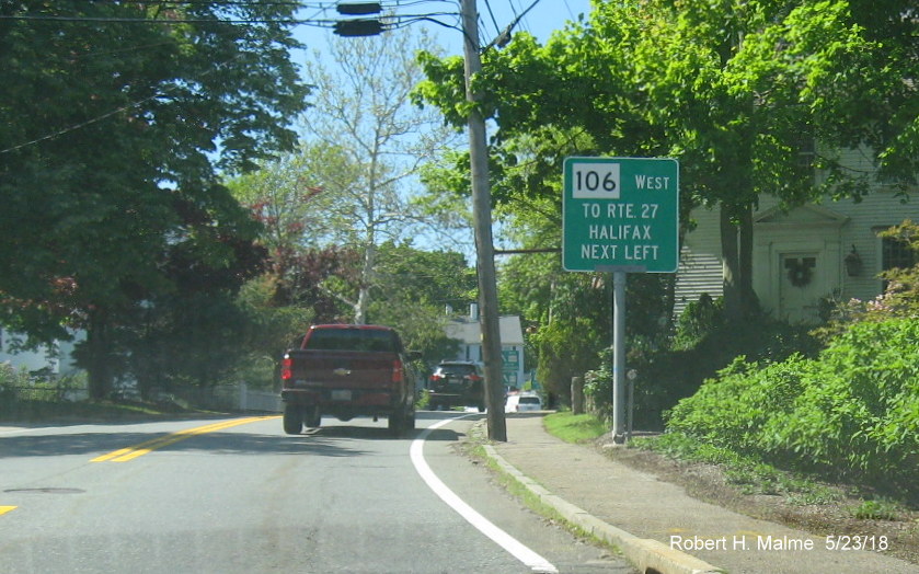
The first of two guide signs for the beginning of Route 106 on Route 3A North.
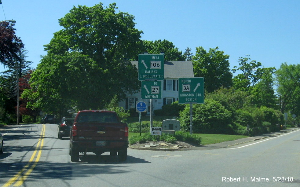
Notice the second smaller sign for Route 27, which begins about a mile further west on 106. If its that important to sign,
wouldn't it be better to just extend 27 to 3A?
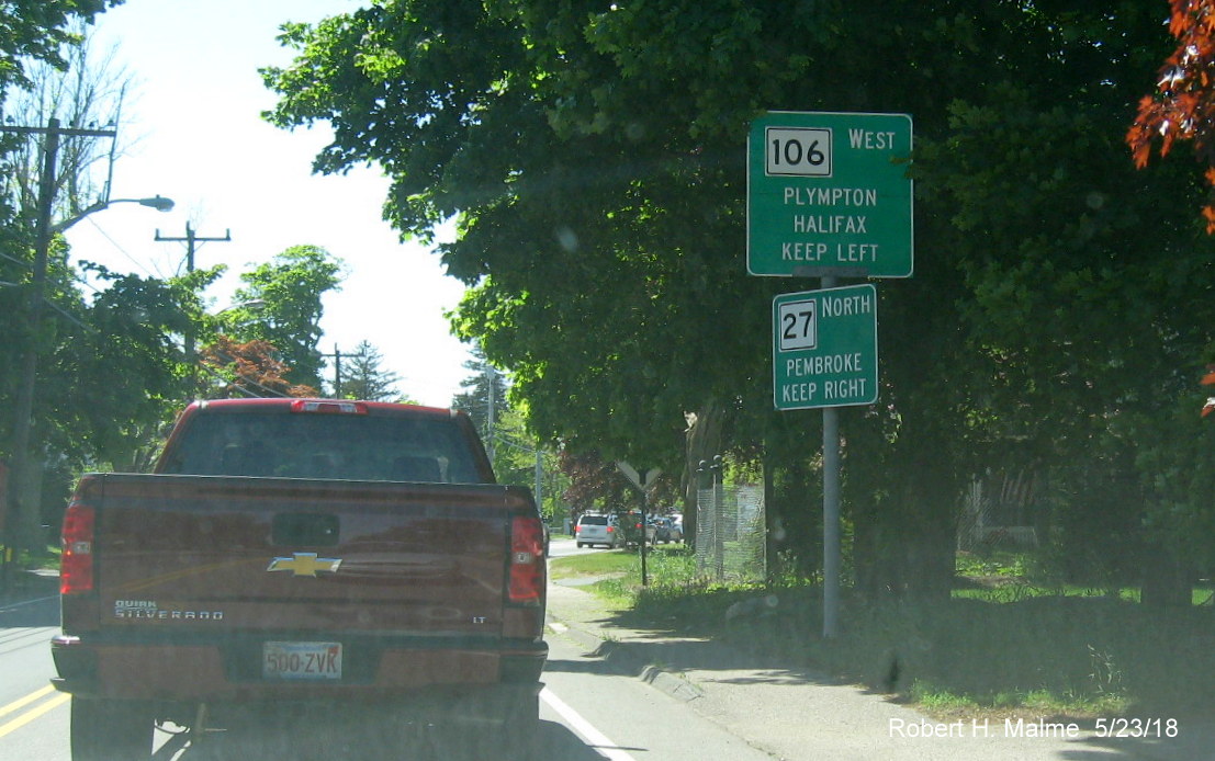
Speaking of Route 27, here's the first guide/paddle sign for the beginning of Route 27 North.
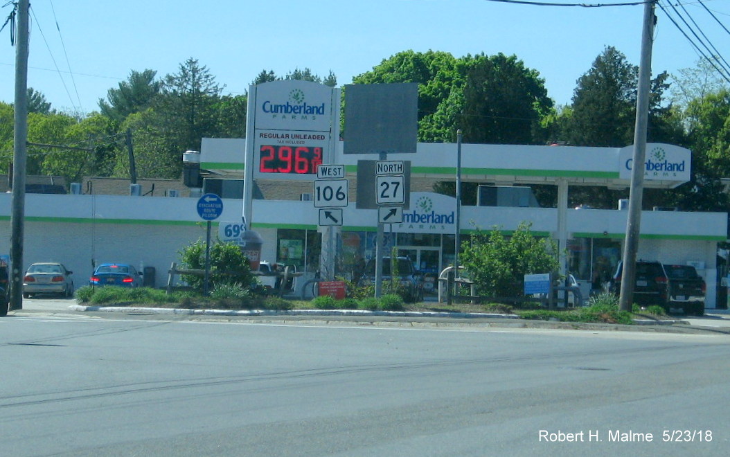
The intersection only features trailblazers. I would prefer two-digit routes to take precedence and instead would have
Route 106 begin here with 27 beginning at 3A.

A few miles west, and over the border with Plympton, is the beginning of MA 36 North, a short route apparently deserving
of less than standard quality paddle signs.
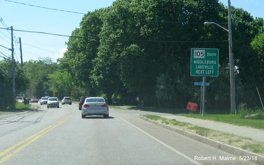
Further west in Halifax is the beginning of Route 105 South.
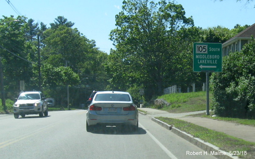
The second sign has an unusual number font.
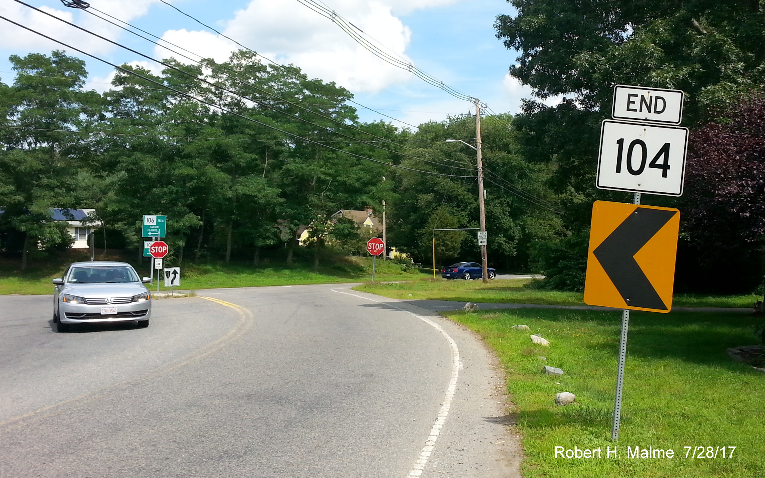
Here's the end of Route 104 East at Route 106 further to west in East Bridgewater:
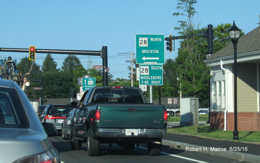
And a photo of the Route 106 and 28 intersection in Bridgewater:
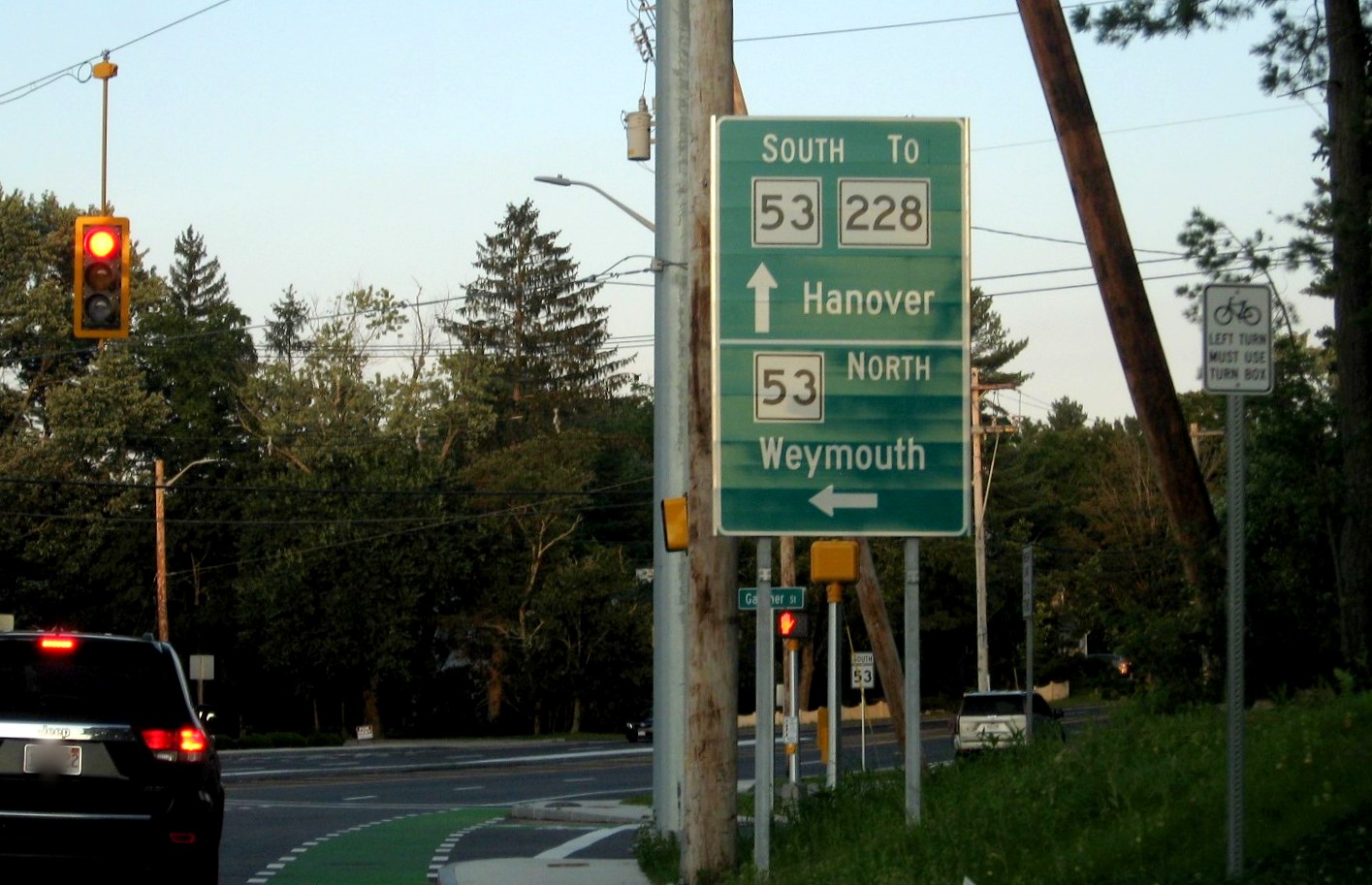
2. Here's photos from 2017 of a couple of signs from the intersection of Whiting Street (MA 53), Derby Street (Formerly
MA 128 and also 228 at least to the 1990s) and Gardner Street in Hingham. A closeup of a Mass. Guide (aka Paddle) Sign recently
updated with new text:
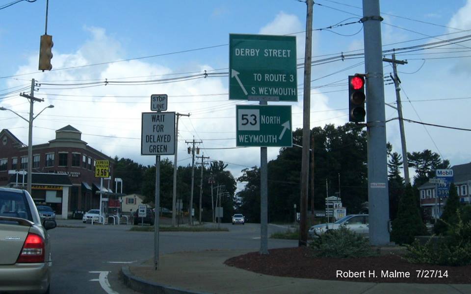
The sign used to read North MA 228 to Route 3, South Weymouth. It was
one of 3 green signs put up between 1988 and 1993 to mark the split of 228
from 53. The first sign actually read South MA 228. In the spring of 2014
the South 228 sign was removed and the two remaining were greened out with
the new text added. MassDOT had apparently realized that 228 hasn't been
officially routed along Derby Street for at least 15 years. Still, the
route signs, put up around the same time, were not removed. In December
2016, a contract was let to replace signage in District 5, which includes
Hingham, interestingly, the contract calls for replacing the route signs
at the intersection, including the 228 shields. Apparently, the project
engineer was not aware they are not needed, not the town which apparently
approved their installation. Unfortunately, no one pointed out the error
and the signs were installed in June 2017. Here are photos showing the new
signs and those that they replaced. First, the North MA 228 trailblazer on
MA 53 South approaching Derby Street, the back of the sign above is in the center of the photo:
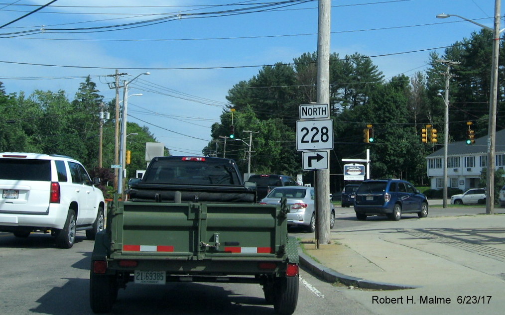
The previous sign:
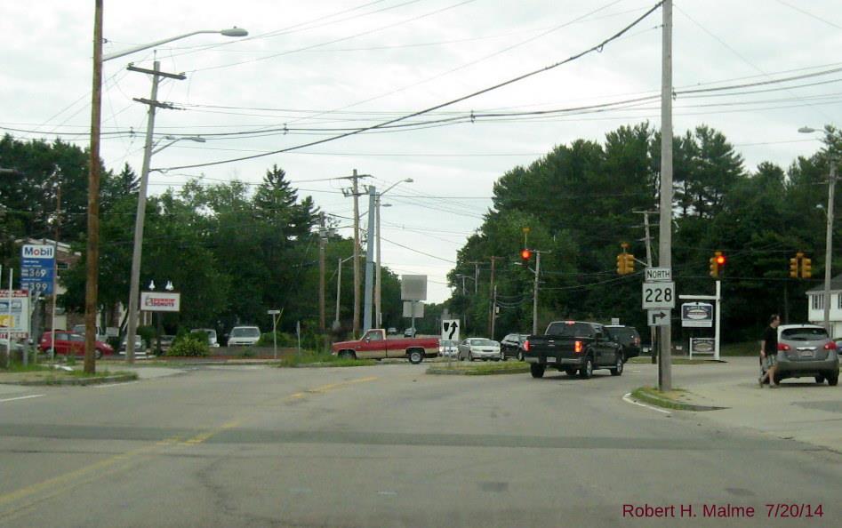
If you look closely, you'll notice the directional banner had been updated to specifications in the 2009 MUTCD even
though the shield dates from the 1980s, and has been wrong for at least 15 years.
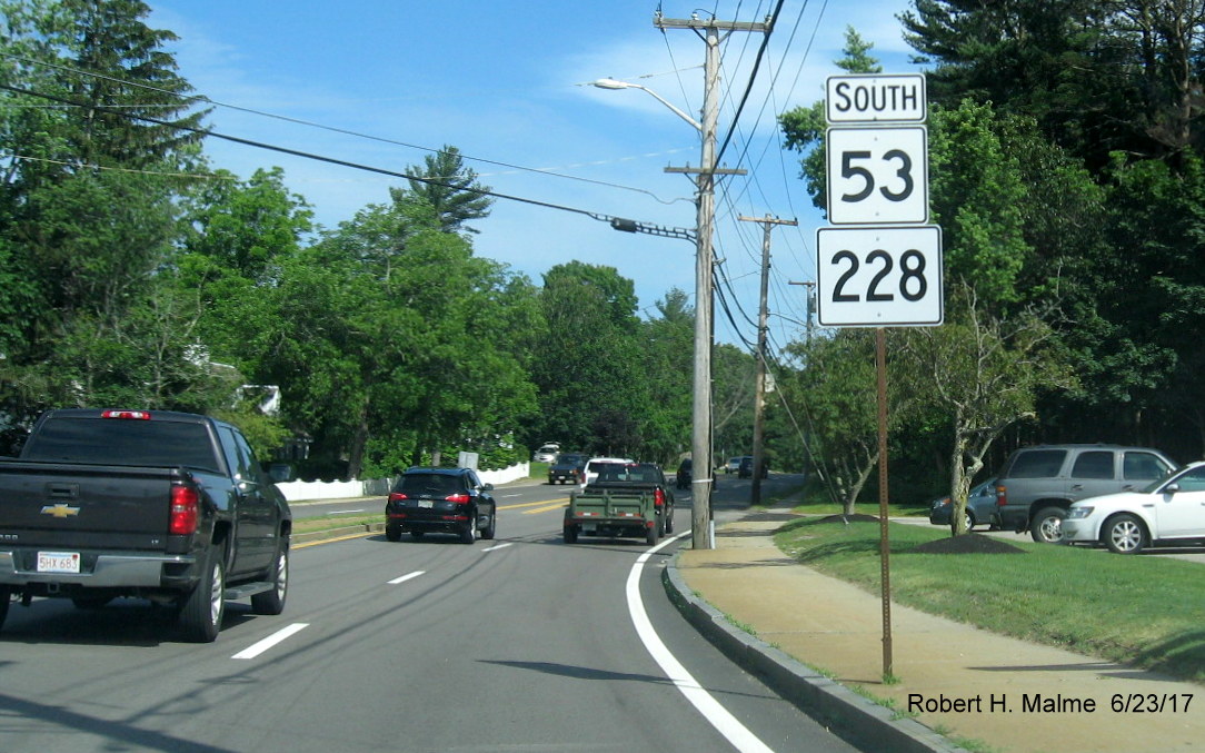
Here's a closeup of the signs that follow on MA 53 South, incredibly the sign replacement contract installed new shields
without replacing the support post. Later, in September 2019, this sign was taken down when the surrounding sidewalk was
removed for a widening project:
However, the signs were put back up in late September, nailed to
the nearby telephone pole (which was removed shortly thereafter), in a different order:
Here's the previous shields on the same post:
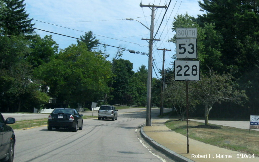
The shields above date from the 1980's, as does the rusting sign post, the South
directional banner is at least 10 years older.
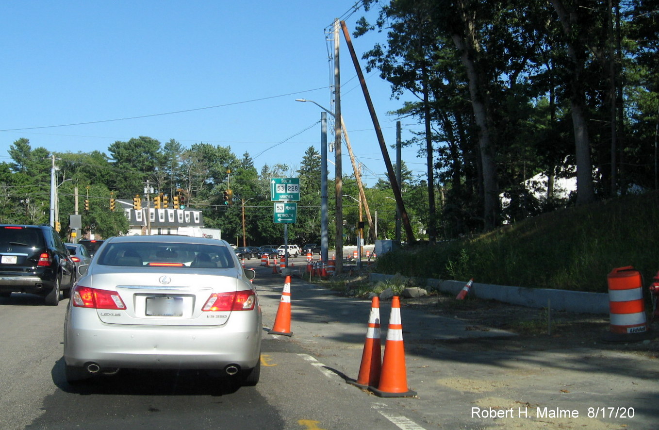
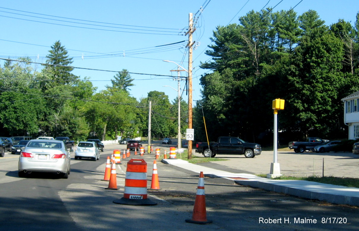
The new North 228 trailblazer on Route 53 North prior to Derby Street, with the corrected green guide sign in the
distance. This was taken down during the intersection reconstruction project that started in August 2019 (see Section C),
however it was later put back up attached to the telephone pole seen in front of it:
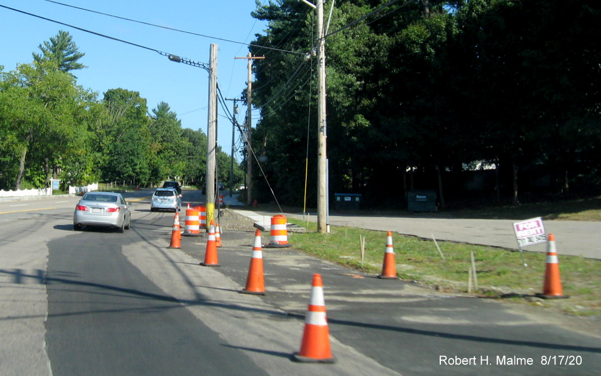
The North Route 228 reassurance marker on Derby Street beyond the intersection, as well as trailblazers for Routes 53
North on Derby Street heading toward the intersection have not been replaced as of June 24. The South MA 53/228 trailblazer,
hidden by leaves, was replaced. Both sign assemblies were taken down during the widening and reconstruction of the Derby
Street/Whiting Street/Gardner intersection in the fall of 2019:
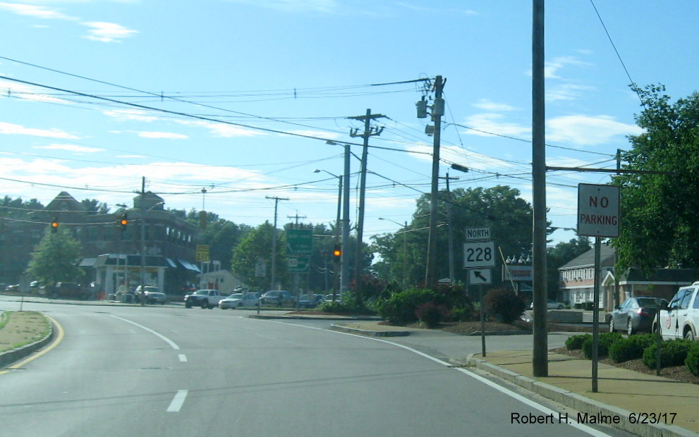
Here's the signage on Route 53 South approaching Queen Anne's corner with the correct information about Route 228:
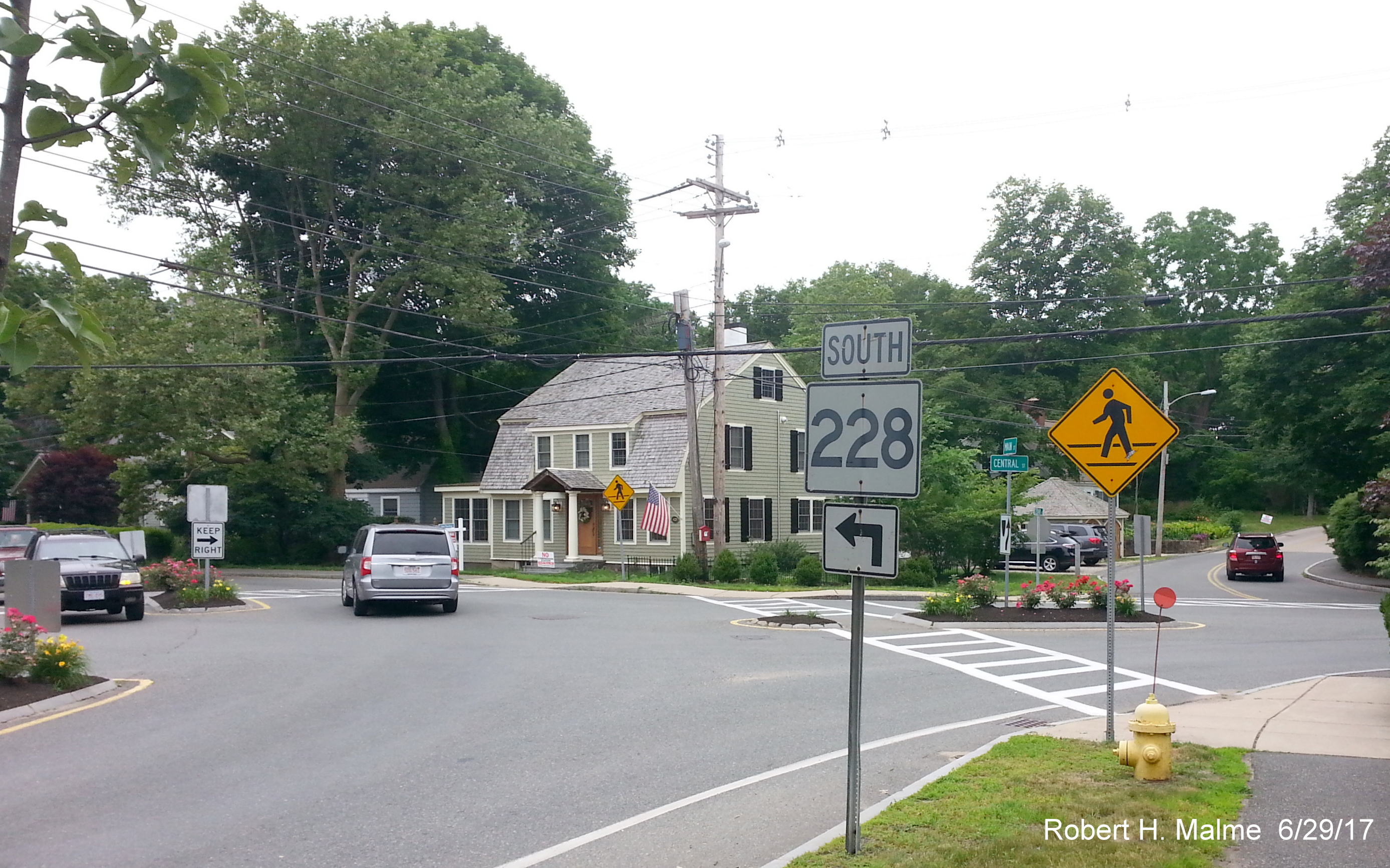
Meanwhile, signage that could be replaced, like here at the corner of Main and Central Streets in Hingham, was not
replaced:
A correct replacement shield on Route 53 after Cushing Street in Hingham, the next intersection north on 53 from the photo
above:

And a correct Route 228 on Main Street in Hingham just north of the Cushing and South Pleasant Street intersection:
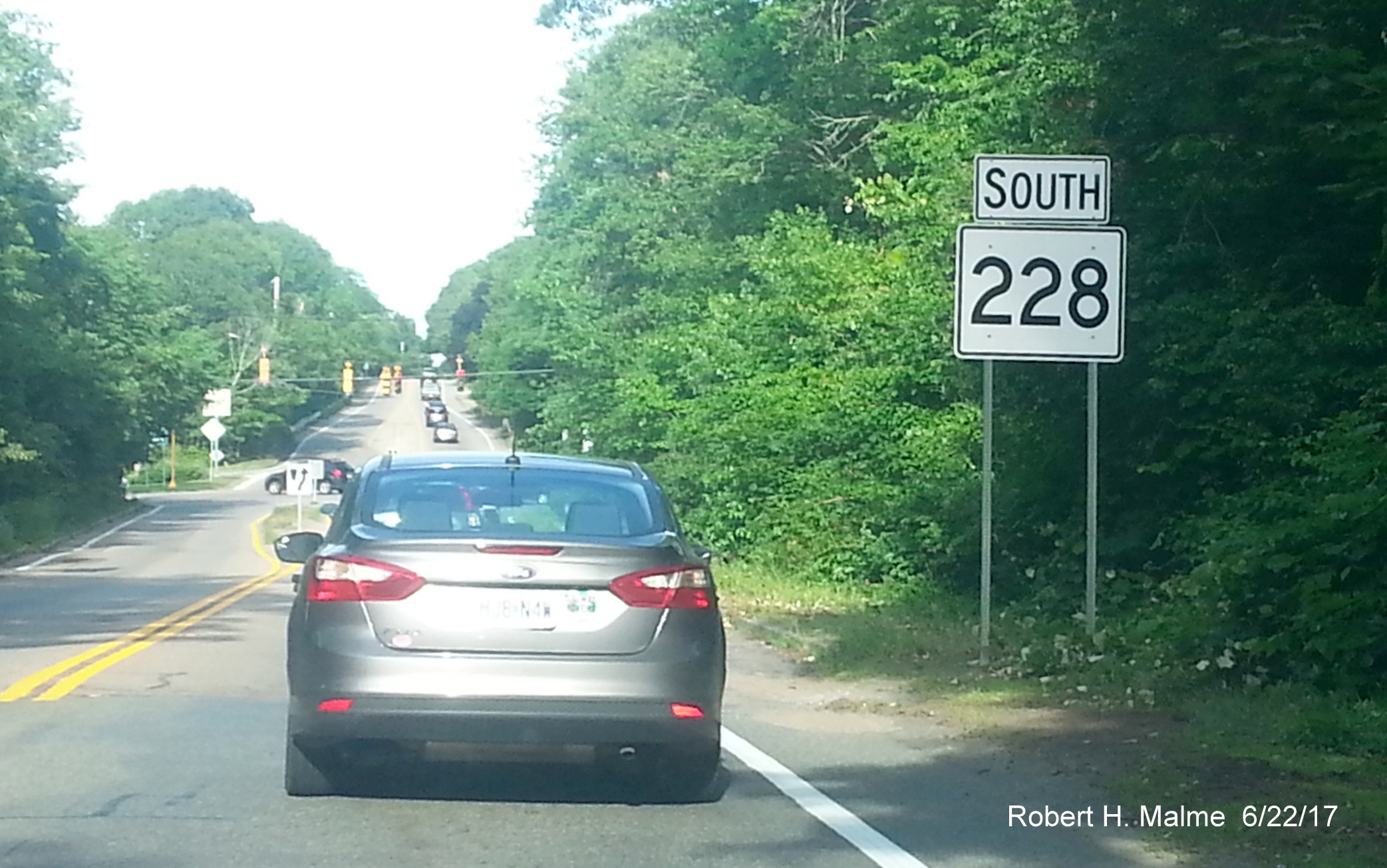
This Route 228 sign put up earlier in the week is missing a right arrow because this is on Route 3A South approaching the
Route 228 intersection:
Here's a new Route 3A North reassurance marker put up on Otis Street at Hingham Harbor. The reassurance marker that it
replaced was less than 10 years old. The older shield though was smaller with one post. Did someone request a larger shield
for this location?
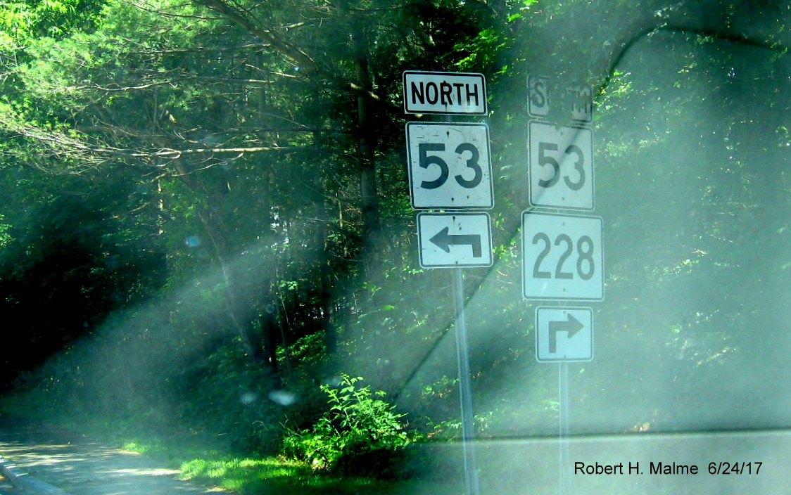
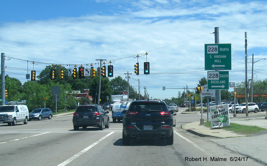
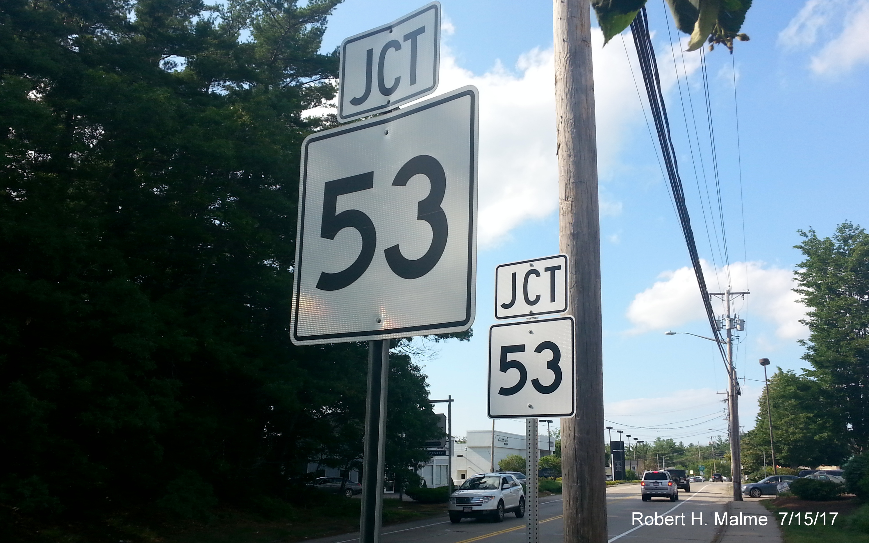
3. Seeing double in Queen Anne's Corner:
When the intersection of Routes 53 and 228, known locally as Queen Anne's corner, at the border of Norwell and Hingham
was reconstructed around 2010 new signage was put in place but most of the old signage was not removed. This left this curious
situation with 2 Junction 53 signs on 228 North ahead of the intersection:
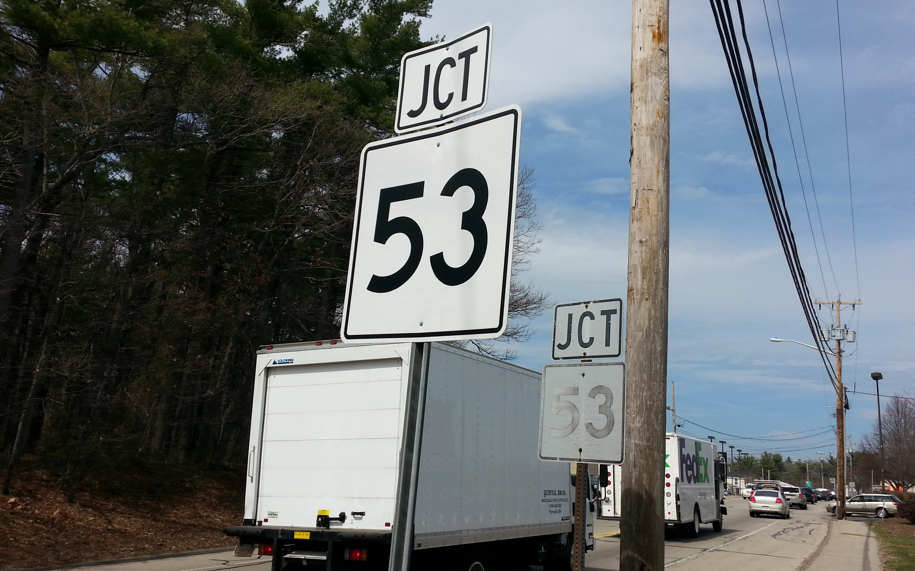
In 2017, the contractor for the Retroflective Sign Update contract removed the old sign in the back, but replaced it with
a new assembly:
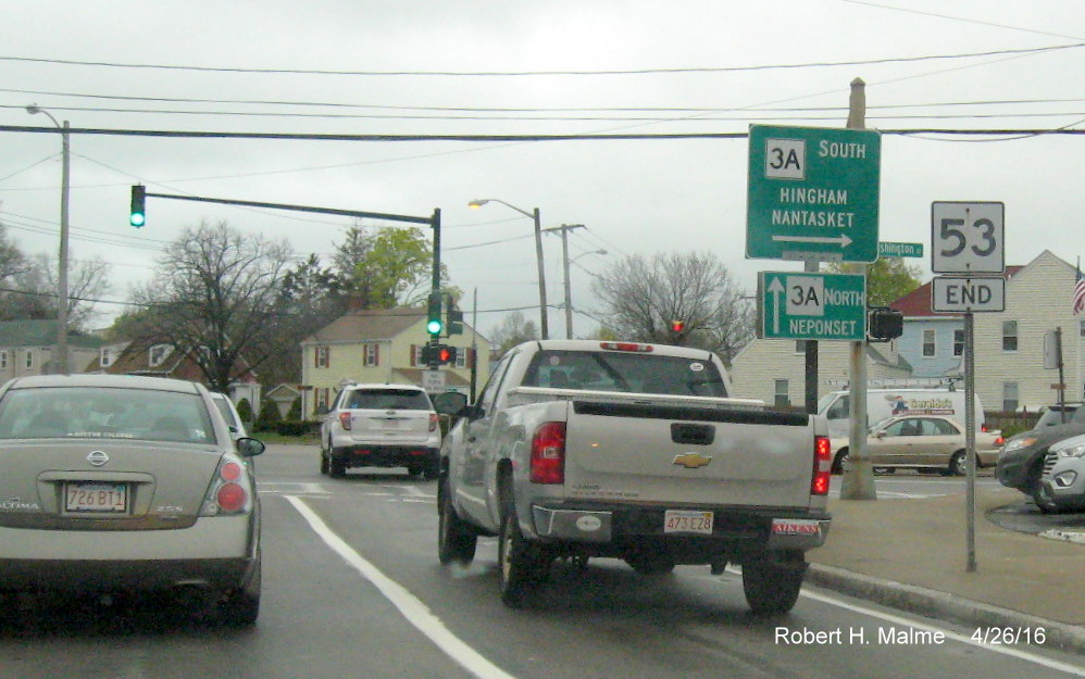
4. Here's the new End Route 53 sign at the intersection with Route 3A/Southern Artery in Quincy, photo taken in November
2019:
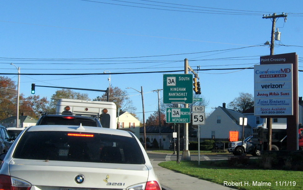
Here's the former End Route 53 sign seen from the intersection of the Southern Artery and Washington Street (Route 3A) in
Quincy taken in April 2016. Historically, until about 1960, this was the intersection of Routes 3, 3A and 135:
Last Updated: March 11, 2026