and
and  along Memorial Drive in
Cambridge and along Memorial Drive in
Cambridge
along Memorial Drive in
Cambridge and along Memorial Drive in
Cambridge travels with
  along Memorial Drive until the BU Bridge when
crosses the Charles River.
continues east along Memorial Drive to
along Memorial Drive until the BU Bridge when
crosses the Charles River.
continues east along Memorial Drive to  / Massachusetts Avenue, where it officially ends and
  begins. However, there is little signage approaching the BU Bridge, Mass
Ave, or the Longfellow Bridge indicating the existence of either
or . Here's some examples, heading
east first:
begins. However, there is little signage approaching the BU Bridge, Mass
Ave, or the Longfellow Bridge indicating the existence of either
or . Here's some examples, heading
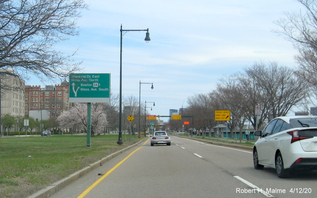
east first: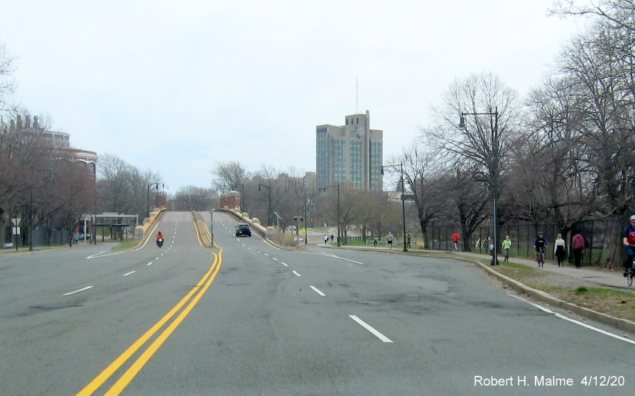 East leaves South to head over the BU Bridge to
Boston, but you wouldn't know it if looking for signs.
East leaves South to head over the BU Bridge to
Boston, but you wouldn't know it if looking for signs.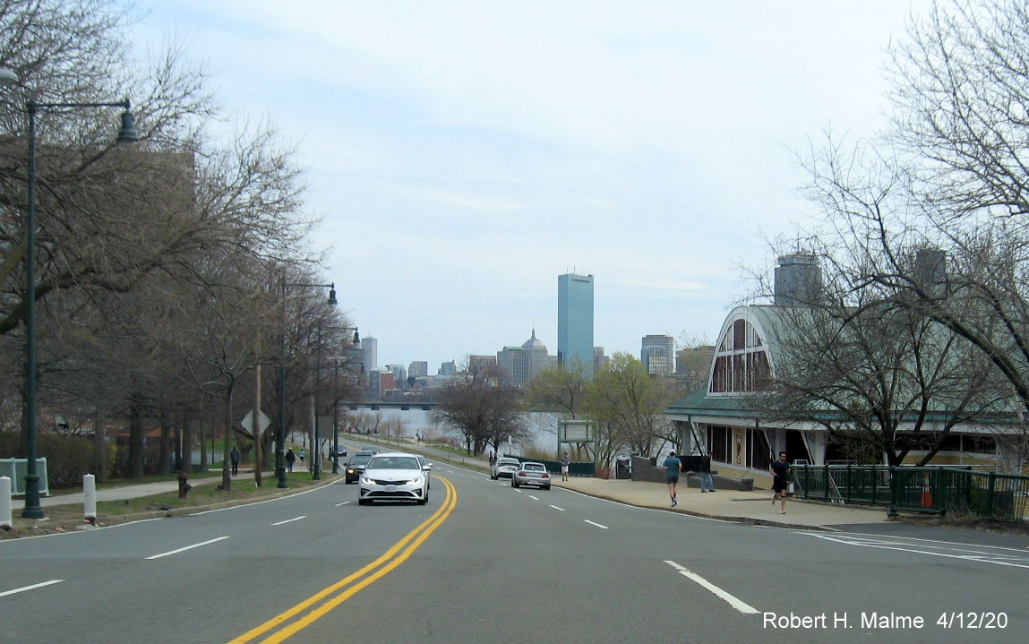 .
. ends or South begins there.
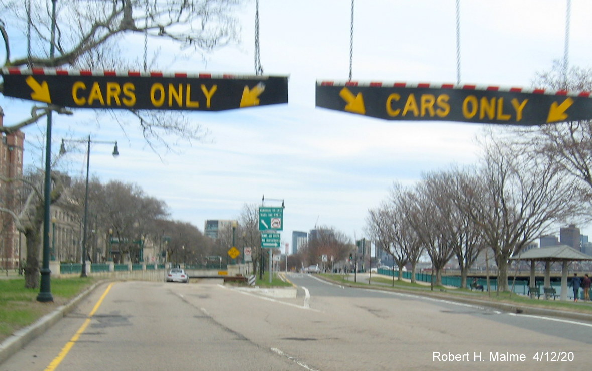 ,
or .
,
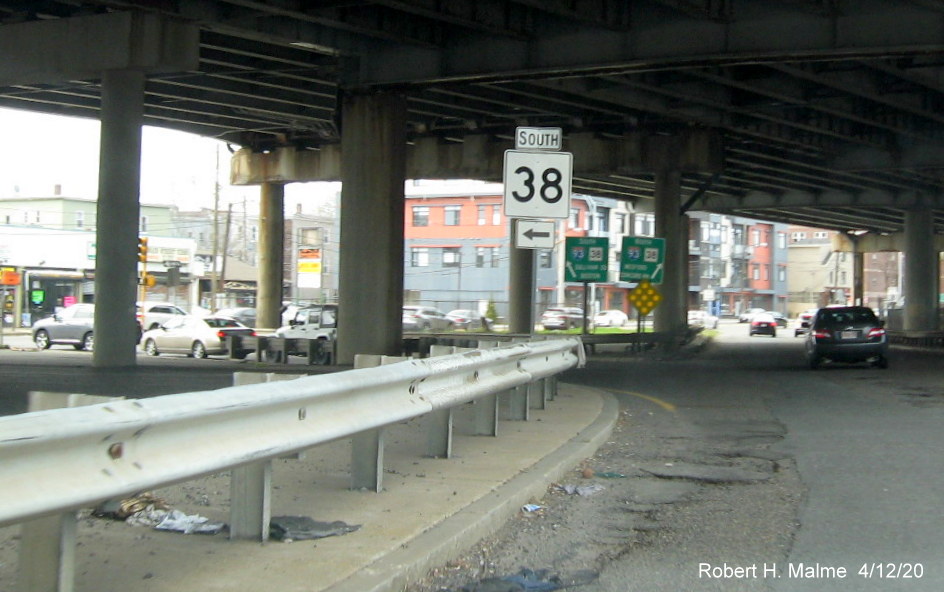
or .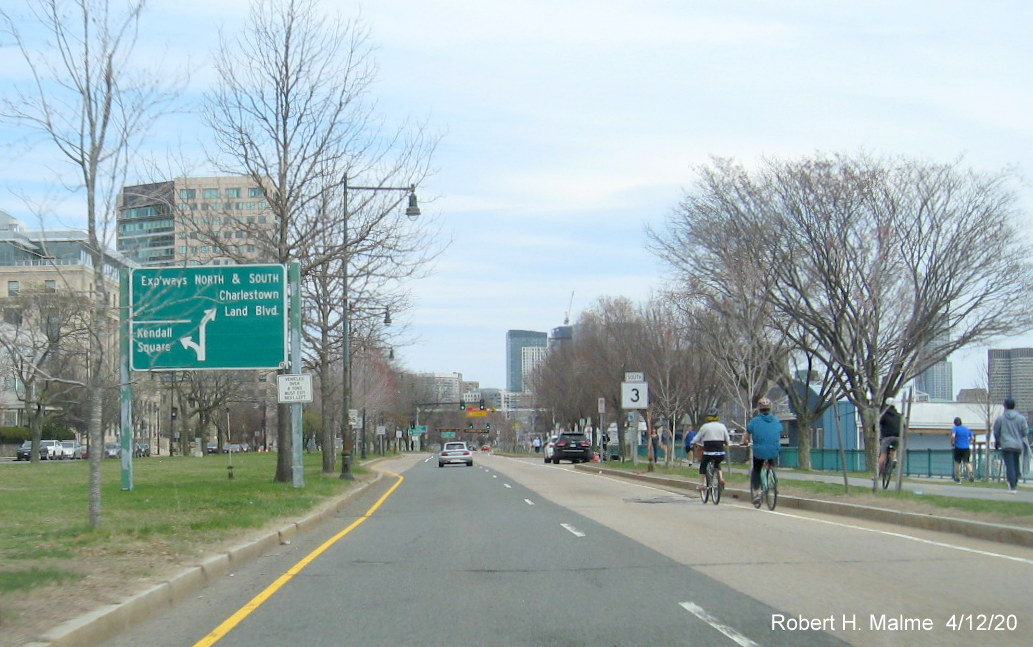 reassurance marker along Memorial
Drive headed east. While South leaves at the ramp, the DCR
guide sign simply states Expressways North and South.
reassurance marker along Memorial
Drive headed east. While South leaves at the ramp, the DCR
guide sign simply states Expressways North and South.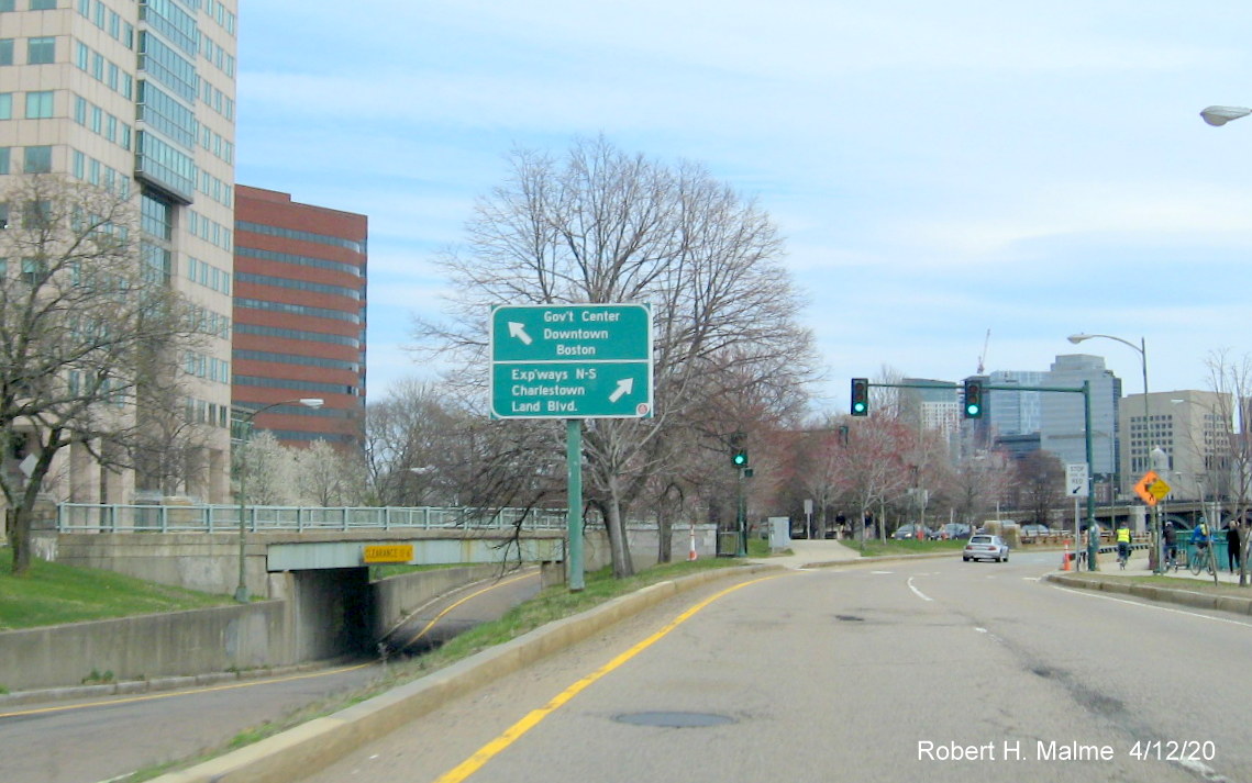
uses the ramp to the left, but you would never know from the sign.
Turning around, starting on the Longfellow Bridge: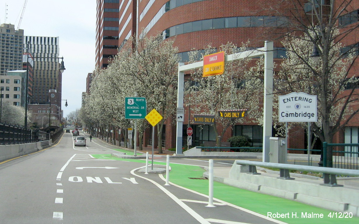 instead of
(I don't have a problem with that, but it is officially incorrect).
Instead of fixing that sign, this newer sign was put up with the same
error. There is a South reassurance marker along the road
to Memorial Drive.
instead of
(I don't have a problem with that, but it is officially incorrect).
Instead of fixing that sign, this newer sign was put up with the same
error. There is a South reassurance marker along the road
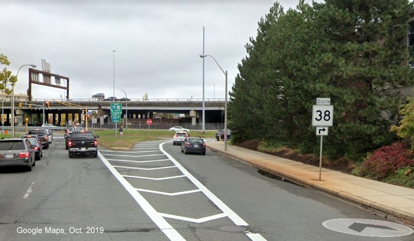
to Memorial Drive.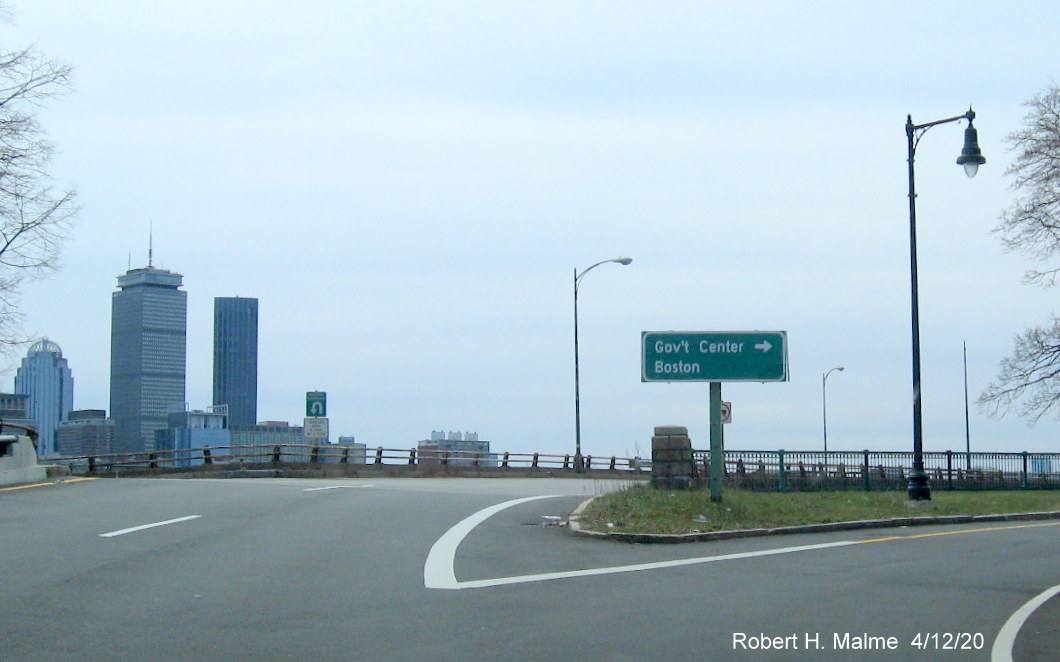 South on Memorial Drive West, but
you would not know from the sign.
South on Memorial Drive West, but
you would not know from the sign.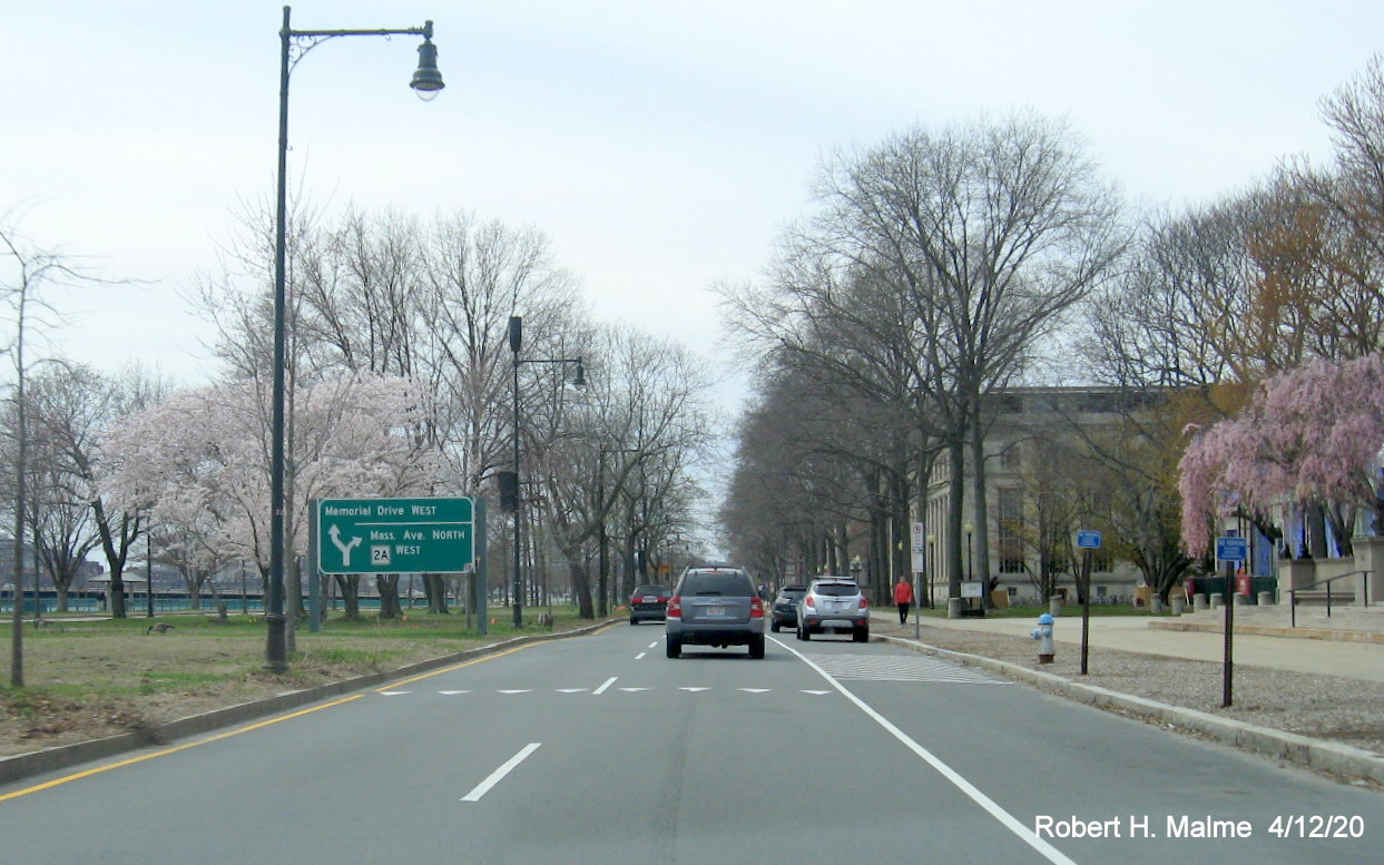
North ends here, or that North begins.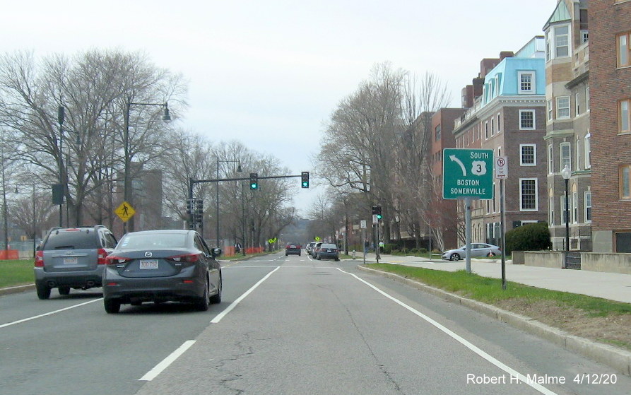 does appear
on a sign, it's erroneous. Here's a guide sign for traffic heading west
to turn around on Memorial Drive, however
ends two blocks to the east. The sign should say South ,
or To South :
does appear
on a sign, it's erroneous. Here's a guide sign for traffic heading west
to turn around on Memorial Drive, however
ends two blocks to the east. The sign should say South ,
or To South : in Somerville
 South in Somerville. Originally, the route joined
  /
/  along the McGrath Highway in
Somerville and traveled with these routes to end at the intersection
with the BU Bridge in Cambridge. In 1971, during a large revision of
routes in the Boston area,
was truncated to where it met
in Somerville. In the 1990s two guide signs appeared at McGrath Highway
and a block further south at the on-ramp to
along the McGrath Highway in
Somerville and traveled with these routes to end at the intersection
with the BU Bridge in Cambridge. In 1971, during a large revision of
routes in the Boston area,
was truncated to where it met
in Somerville. In the 1990s two guide signs appeared at McGrath Highway
and a block further south at the on-ramp to  that implied
continued to Sullivan Square. Google Maps Street View images from Sept.
2019, notice the 0.0 mile marker:
that implied
continued to Sullivan Square. Google Maps Street View images from Sept.
2019, notice the 0.0 mile marker: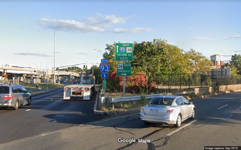
 extension, and the signs were attributed to contractor error. However,
in the past few years new versions of the above signage was put up and
now more has gone up on surrounding roadways, all implying the extension
of .
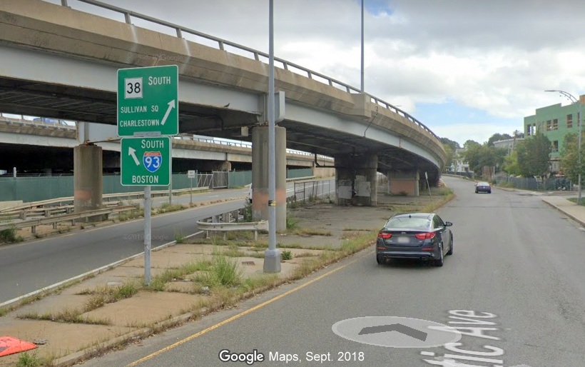
Here's a new style guide sign on the road leading from Sullivan Square
to McGrath Highway, the full Google Maps image labels the road as :
extension, and the signs were attributed to contractor error. However,
in the past few years new versions of the above signage was put up and
now more has gone up on surrounding roadways, all implying the extension
of .
Here's a new style guide sign on the road leading from Sullivan Square
to McGrath Highway, the full Google Maps image labels the road as :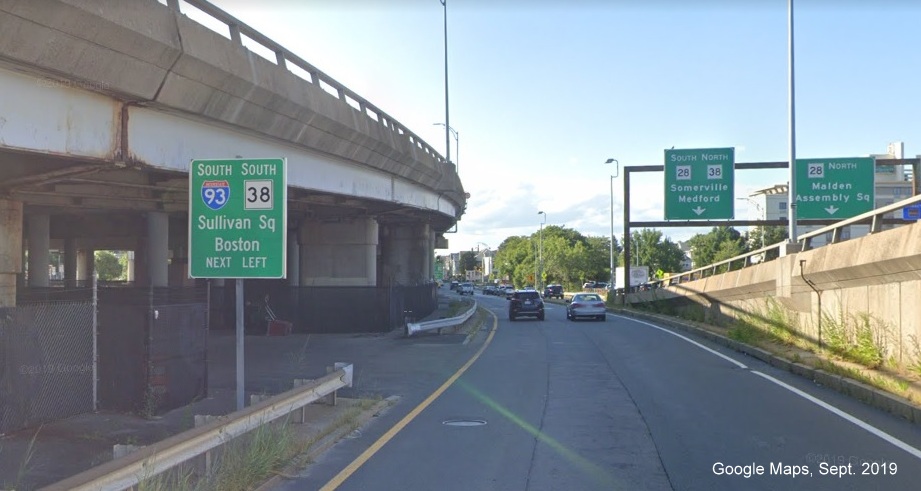 / McGrath Highway:
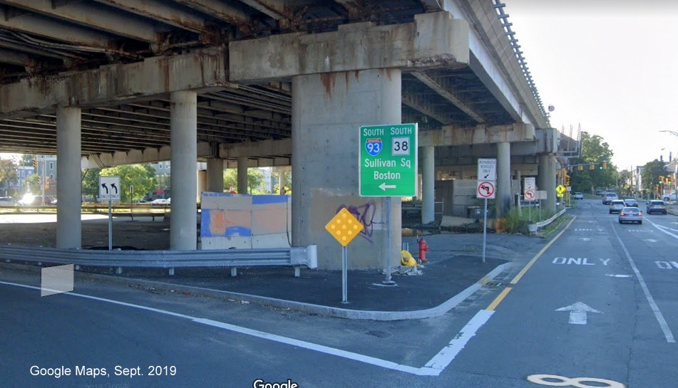 :
:
 South show that
goes in both directions:
South show that
goes in both directions: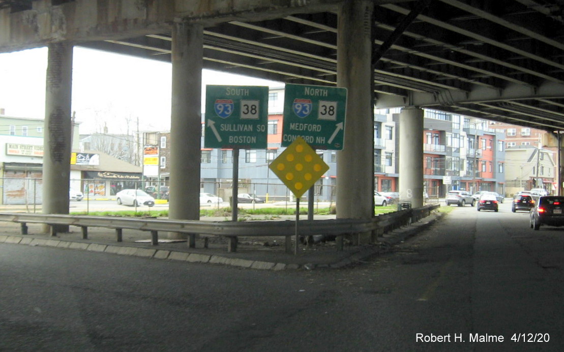 been extended? Not according
to the mile markers. If those are correct, then remove the signs. If so,
fully sign it to Sullivan Square and add signage on
been extended? Not according
to the mile markers. If those are correct, then remove the signs. If so,
fully sign it to Sullivan Square and add signage on  in the Square itself.
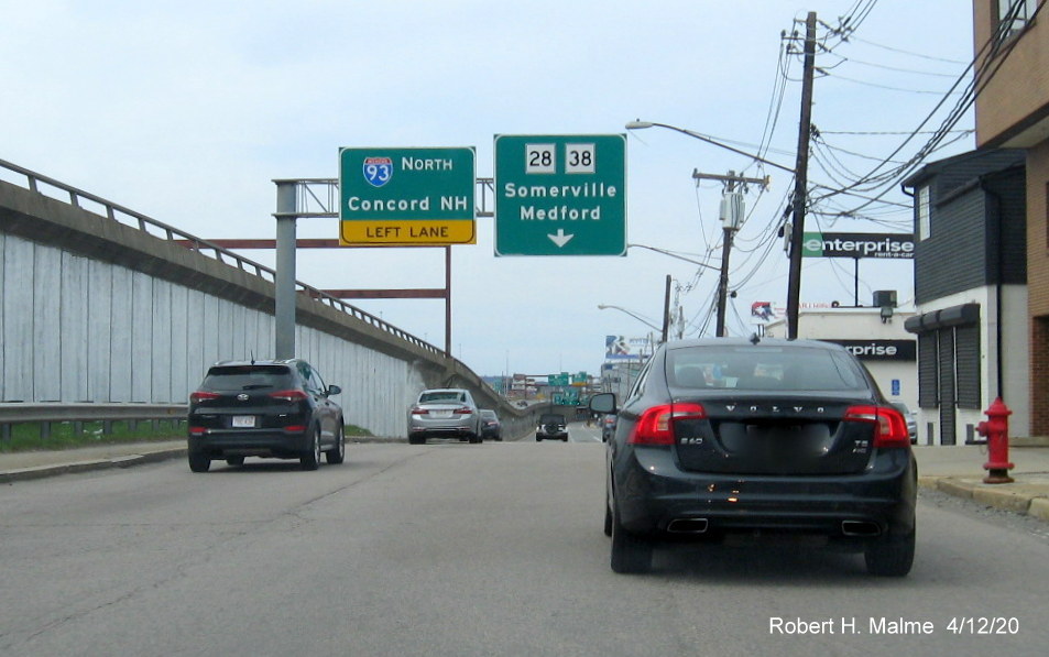
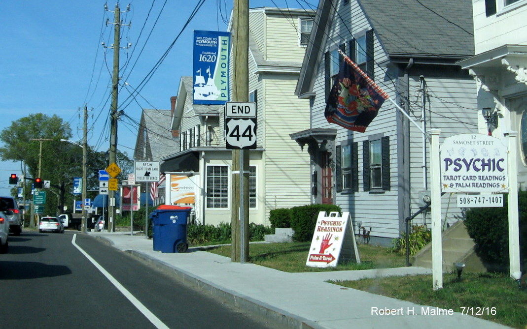
 in Plymouth
 in Plymouth was rerouted onto
a new freeway west of in 2005, there must have been some
confusion as to whether the existing
route would continue east of the Pilgrims Highway. Some maps had the old
being
rebranded as US 44A, and some may have thought of simply ending the
route at . Apparently officials thought the
better of both ideas but didn't apparently get the word out about the
latter because there are no references to ,
besides on the guide signs, along and Samoset Street until the
official end at
in Plymouth was rerouted onto
a new freeway west of in 2005, there must have been some
confusion as to whether the existing
route would continue east of the Pilgrims Highway. Some maps had the old
being
rebranded as US 44A, and some may have thought of simply ending the
route at . Apparently officials thought the
better of both ideas but didn't apparently get the word out about the
latter because there are no references to ,
besides on the guide signs, along and Samoset Street until the
official end at  .
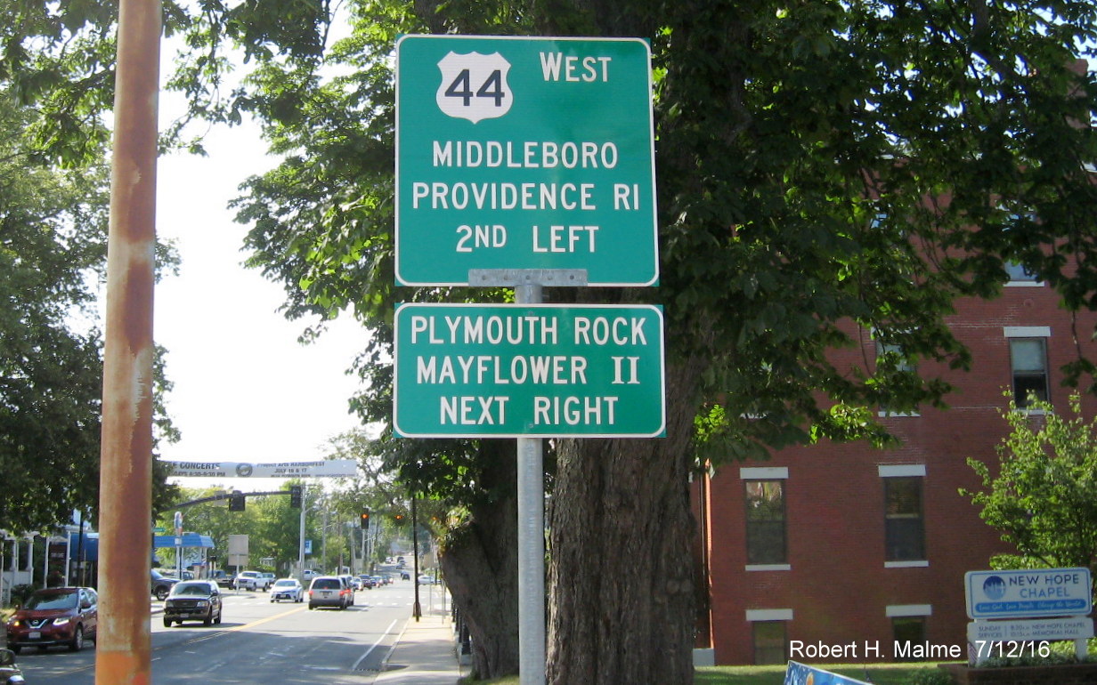
This is the only reference to the
/ concurrency, heading north:
.
This is the only reference to the
/ concurrency, heading north: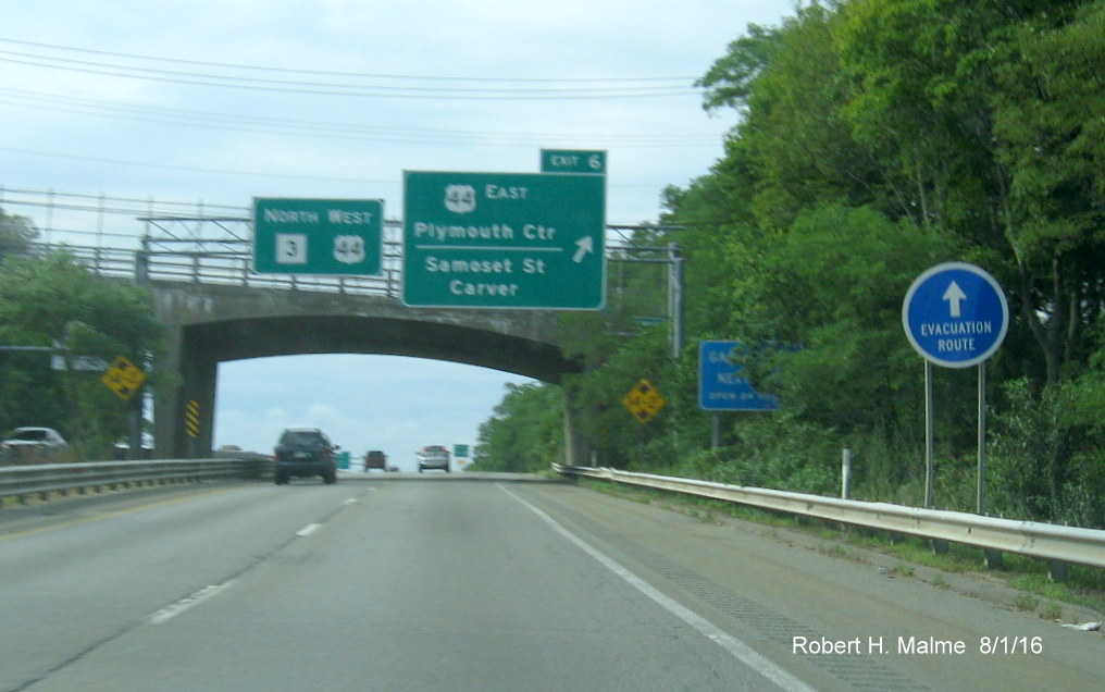 reassurance markers in either direction along the concurrency with ,
perhaps simply because they are near exit signs for that route, though
it wouldn't hurt:
reassurance markers in either direction along the concurrency with ,
perhaps simply because they are near exit signs for that route, though
it wouldn't hurt: 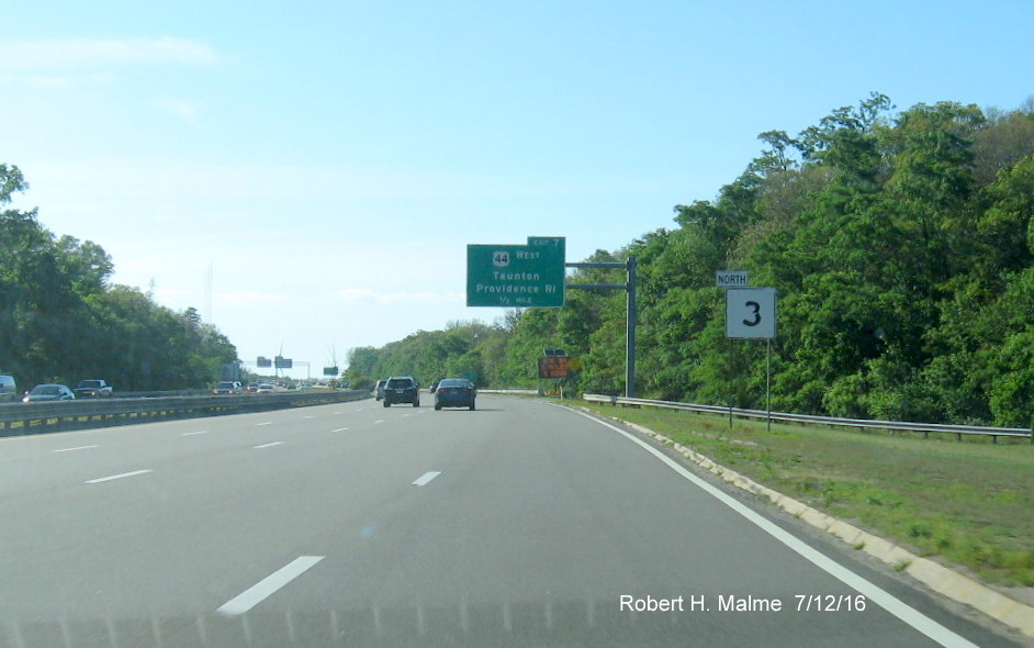 West at the Samoset intersection with (a former West trailblazer at the ramp was
taken down in a construction project several years ago and never
replaced):
West at the Samoset intersection with (a former West trailblazer at the ramp was
taken down in a construction project several years ago and never
replaced):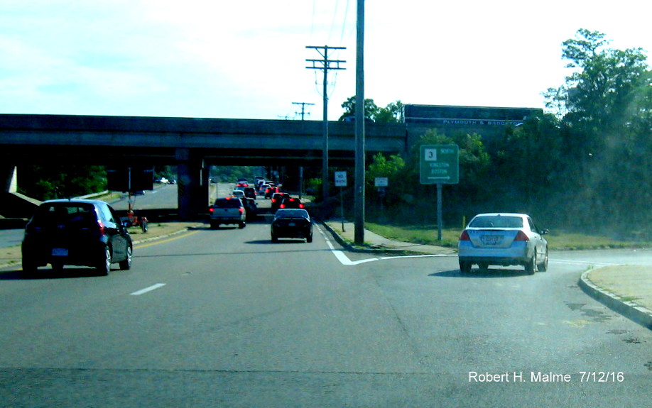
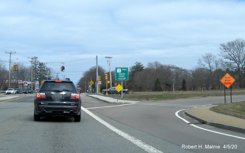 North does not refer to at all, from Google Maps
Street View in November 2018:
North does not refer to at all, from Google Maps
Street View in November 2018: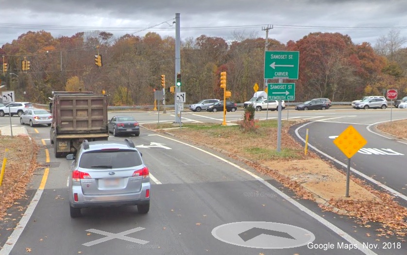 marking the end and beginning of the route. So you don't need to be a
psychic to figure out where it ends:
marking the end and beginning of the route. So you don't need to be a
psychic to figure out where it ends: