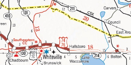
I-74 is to use the existing 9-mile US 74/76 Whiteville Bypass freeway
and an upgraded continuation for 14 more miles further east along the
current US 74/76 expressway to near the current exit with NC 211. The
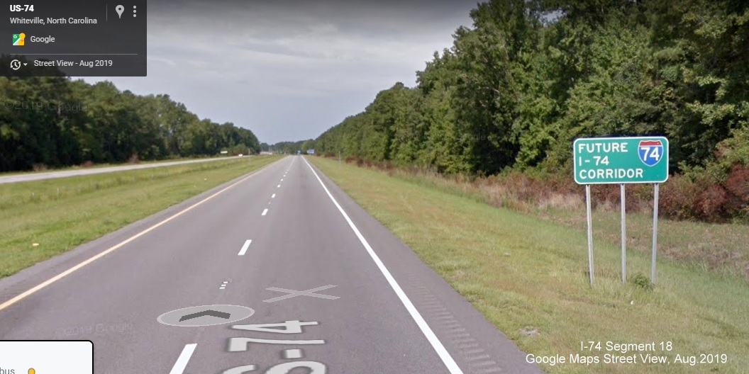
US 74/76 Bypass freeway around Whiteville has a 70 MPH speed limit but
would need to be upgraded to Interstate Standards to be signed as I-74
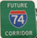
(a couple signs indicate it is a Future I-74 Corridor).
Another Piece-Meal Upgrade?
West
of Whiteville, a similar piecemeal approach is being taken to
upgrade US 74/76 to freeway standards as with Segment
17 to the east. A
new interchange was constructed for NC 211 in 2010 (see photo
below).1When
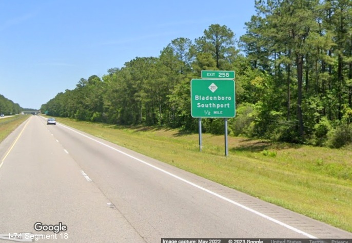
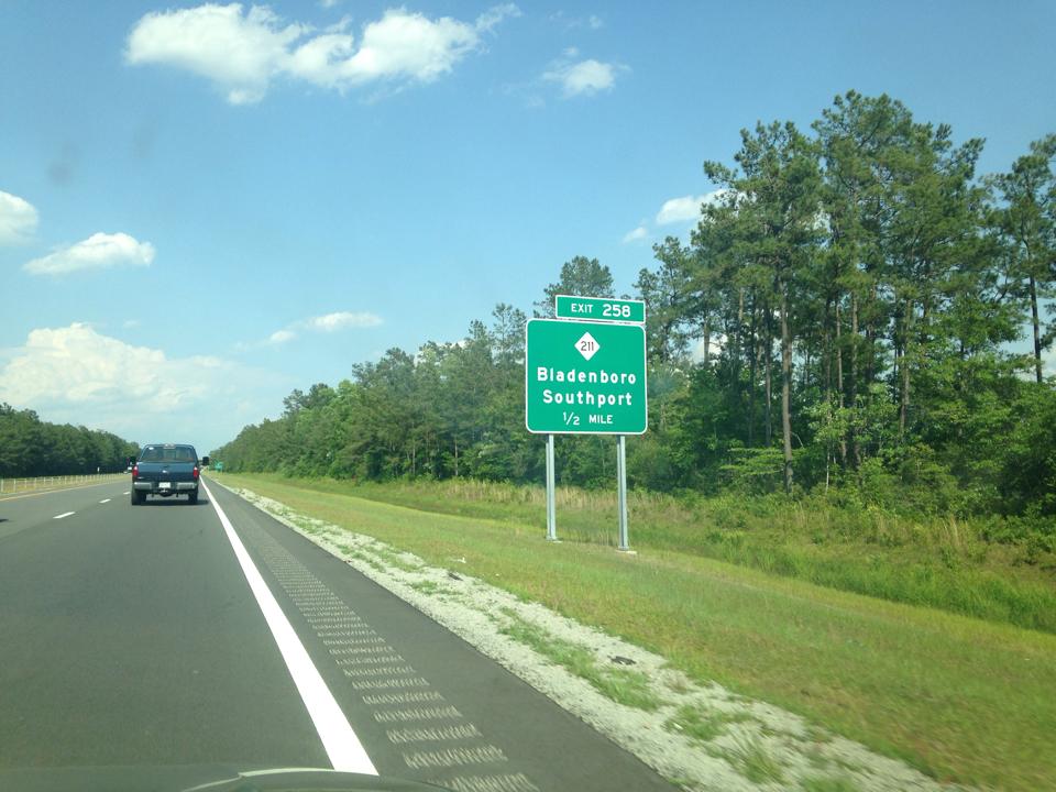
I-74 mile markers were put up along US 74/76 in 2012, continuing on to
Delco, (mile 270), 12 miles to the east, the NC 211 exit was given the
number 258. The Final 2020-2029 STIP released in September 2019 has
three projects listed as intersection to interchange/grade separation
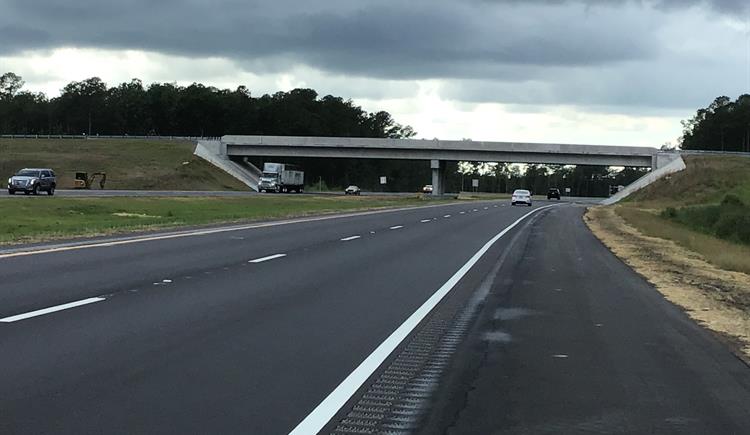
upgrades east of the Whiteville Bypass. Project R-5749 is upgrading
the intersection with SR 1001, Hallsboro Road to an interchange at a
cost of $6.3 million. This project started on April 25, 2018 and the
exit was opened on June 12, 2020 two months ahead of its expected
opening.2 It pushes the US 74-76 freeway three miles
further east. Here's a photo of the completed Hallsboro Road bridge
from NCDOT:2
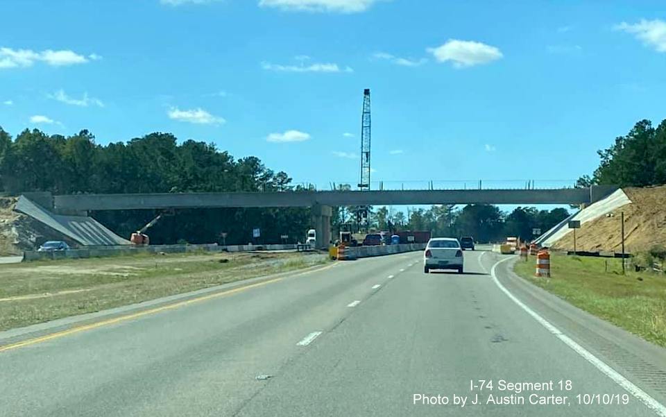
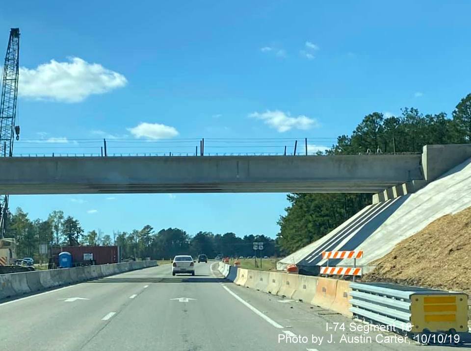
Here's
a couple photos while the interchange was being constructed, taken
after the girders were installed over US 74/76 for the future
Hallsboro Road bridge, taken by J. Austin Carter:
A
closer look at the bridge:
When plans were released for the Hallsboro Rd contract in January 2018,
they indicated the exit number for the interchange would be 248:6
NCDOT
announced on July 11, 2022 that Project R-5820 which will upgrade the
intersection with SR 1735, Chauncey Town Road to an interchange
starting in August 2022 (accelerated from 2025) was awarded to BMCO
Contractors. This project is now combined with Project R-5819 that
will replace the intersection with SR 1740, (Old Lake Road) with a
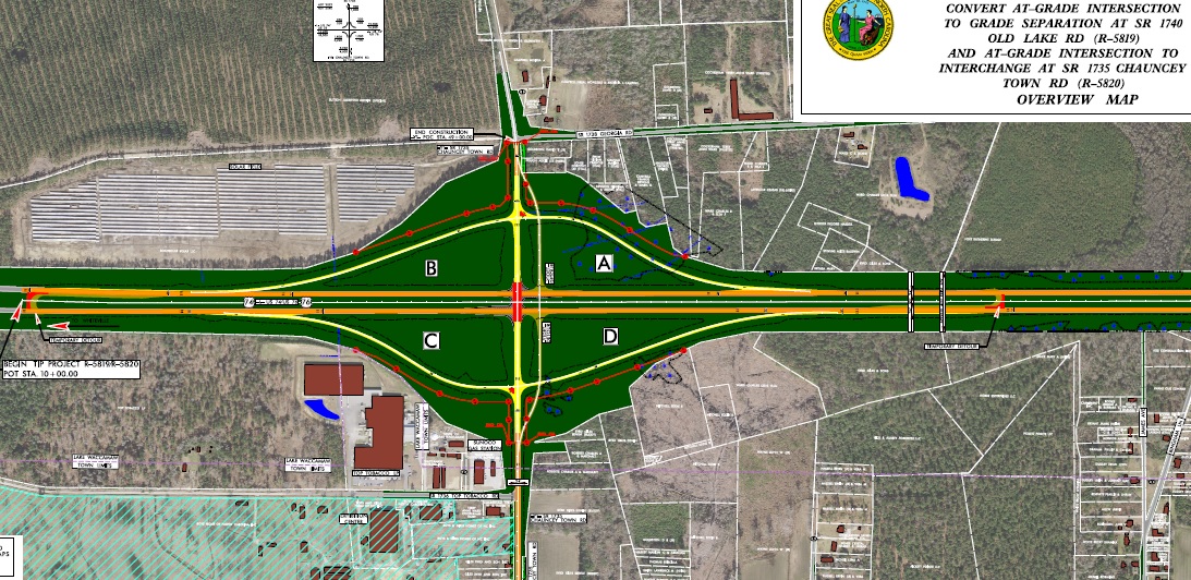
bridge, for a $44 million cost for both projects.3On
October 25, 2018, NCDOT held a public meeting outlining the plans for
this project. Here's a map of the proposed Chauncey Town Road
interchange presented at the meeting:4
The work will also include constructing 2 roundabouts south of US 74/76
where both roads intersect NC 214 and extending Georgia Road to Old Lake
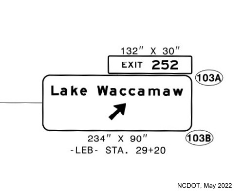
Road. When the project was advertised on May 24, 2022, sign plans
indicated that the new exit in this location, to be called Lake
Waccamaw, will be numbered 252:
Construction
started in August 2022 and as of February 15, 2024 was over 1/2
complete at 54.8%. The project is currently scheduled to be completed
by the January 2026.5 In the summer of 2012, NCDOT
replaced the US 74 mileposts with I-74 mileposts along this stretch,
continuing them from Segment 17, 13 miles beyond the NC 211 exit to
Delco at Mile 271. It is unknown whether this was a hedge in case the
route ends up going to Wilmington instead of Myrtle Beach.
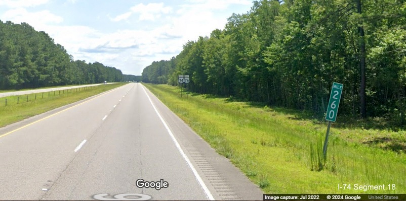
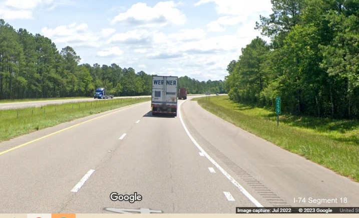
The Mile 260
marker along US 74/76 East, 2 miles beyond the NC 211 exit. Google
Maps Street View, July 2022.
Segment Photos
LATEST PHOTOS
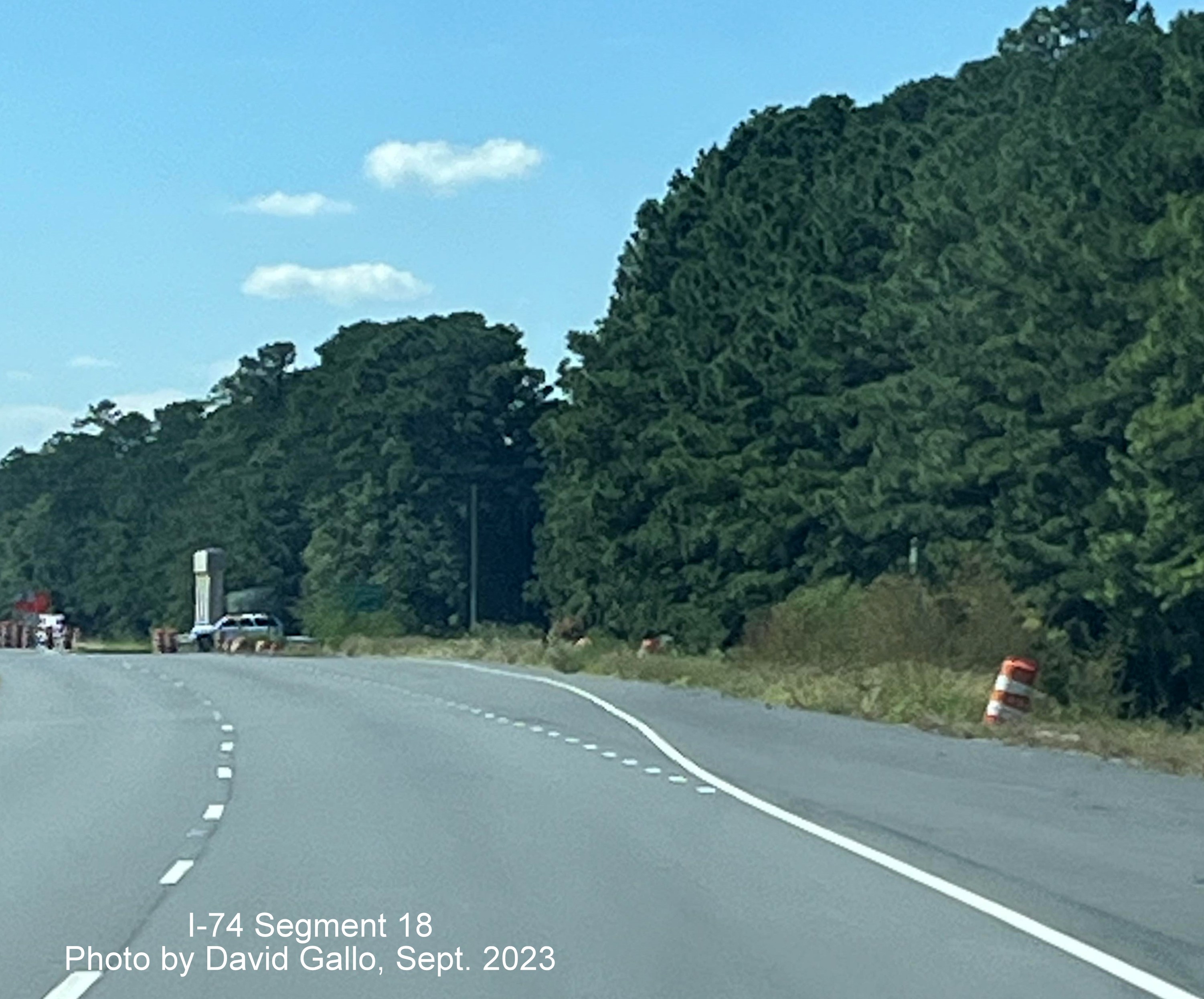
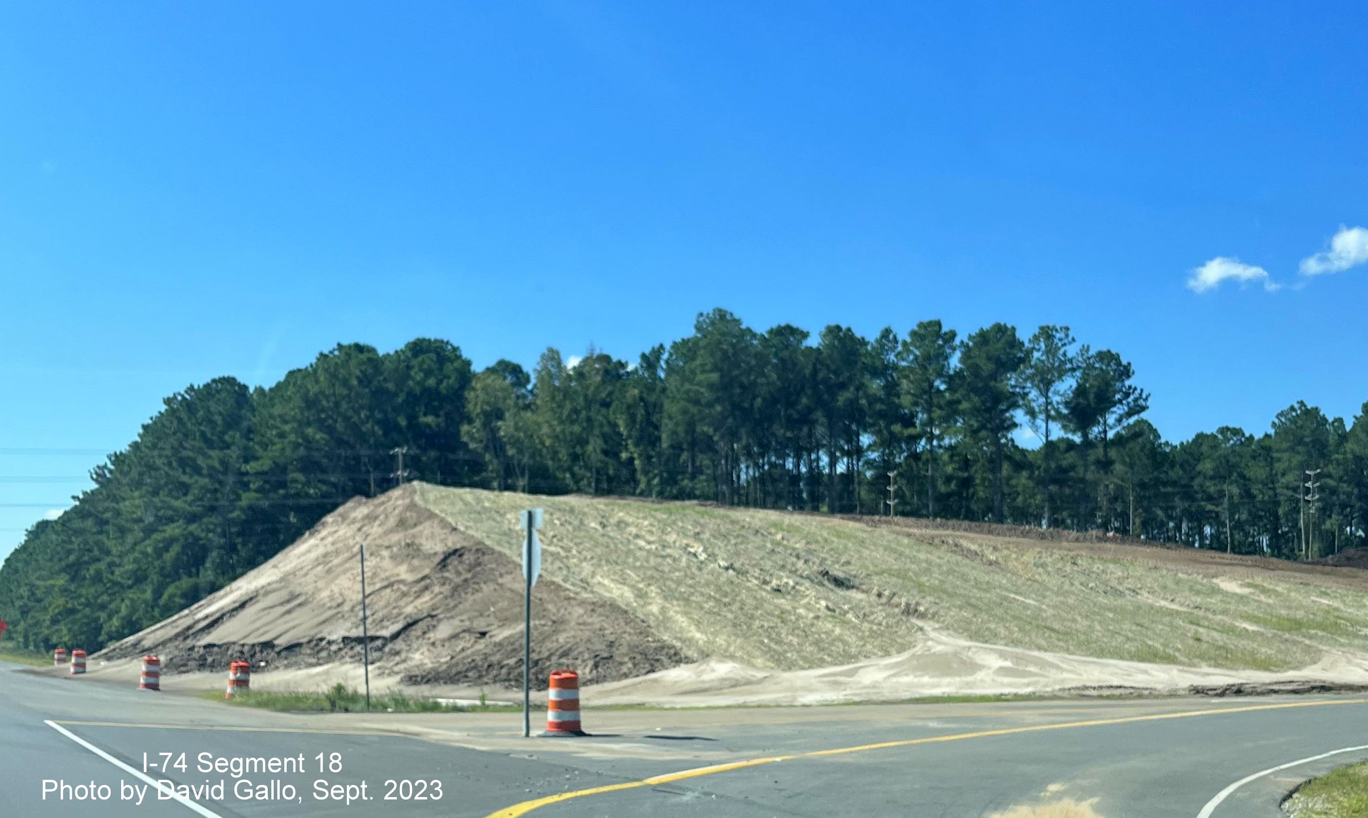
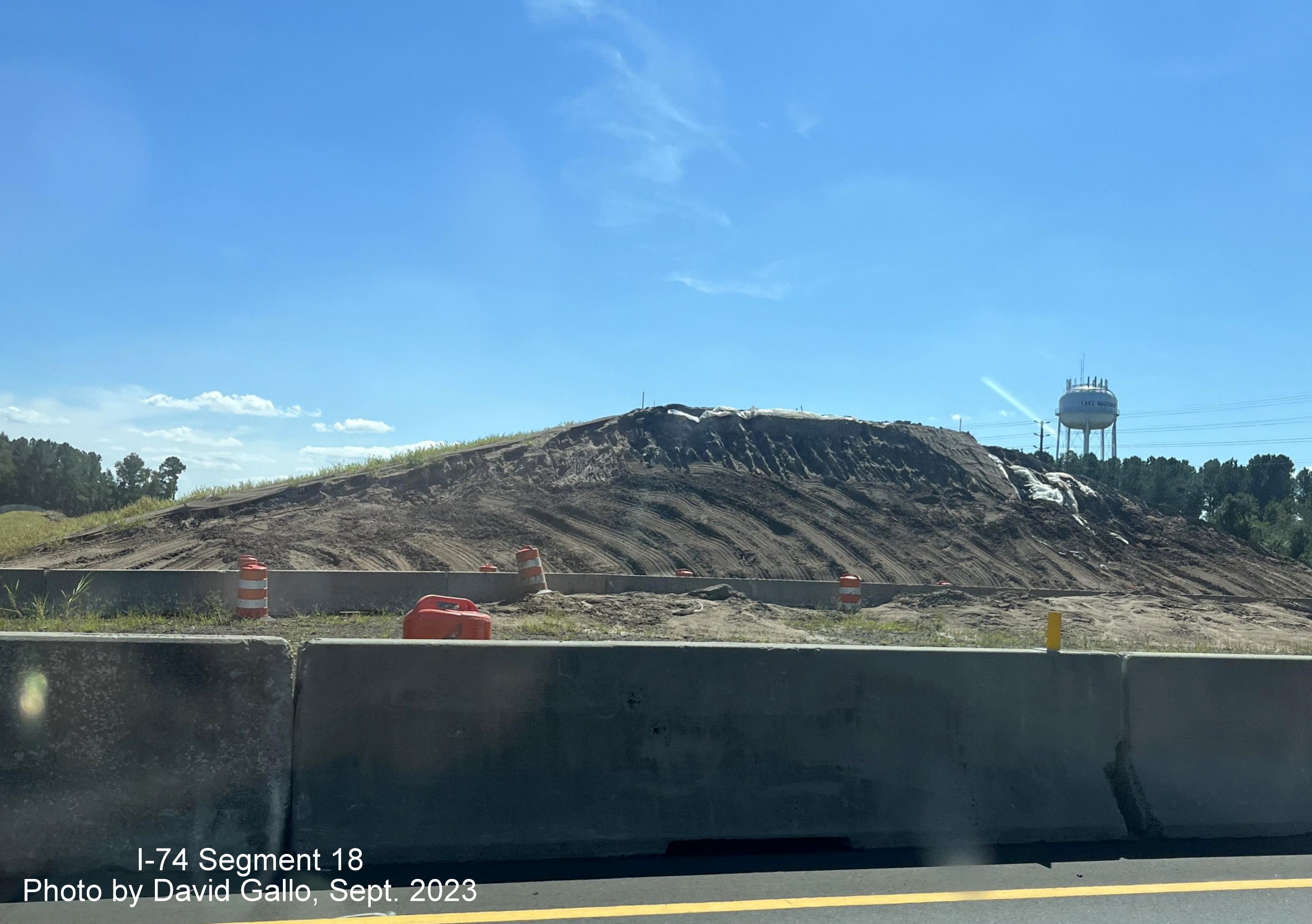
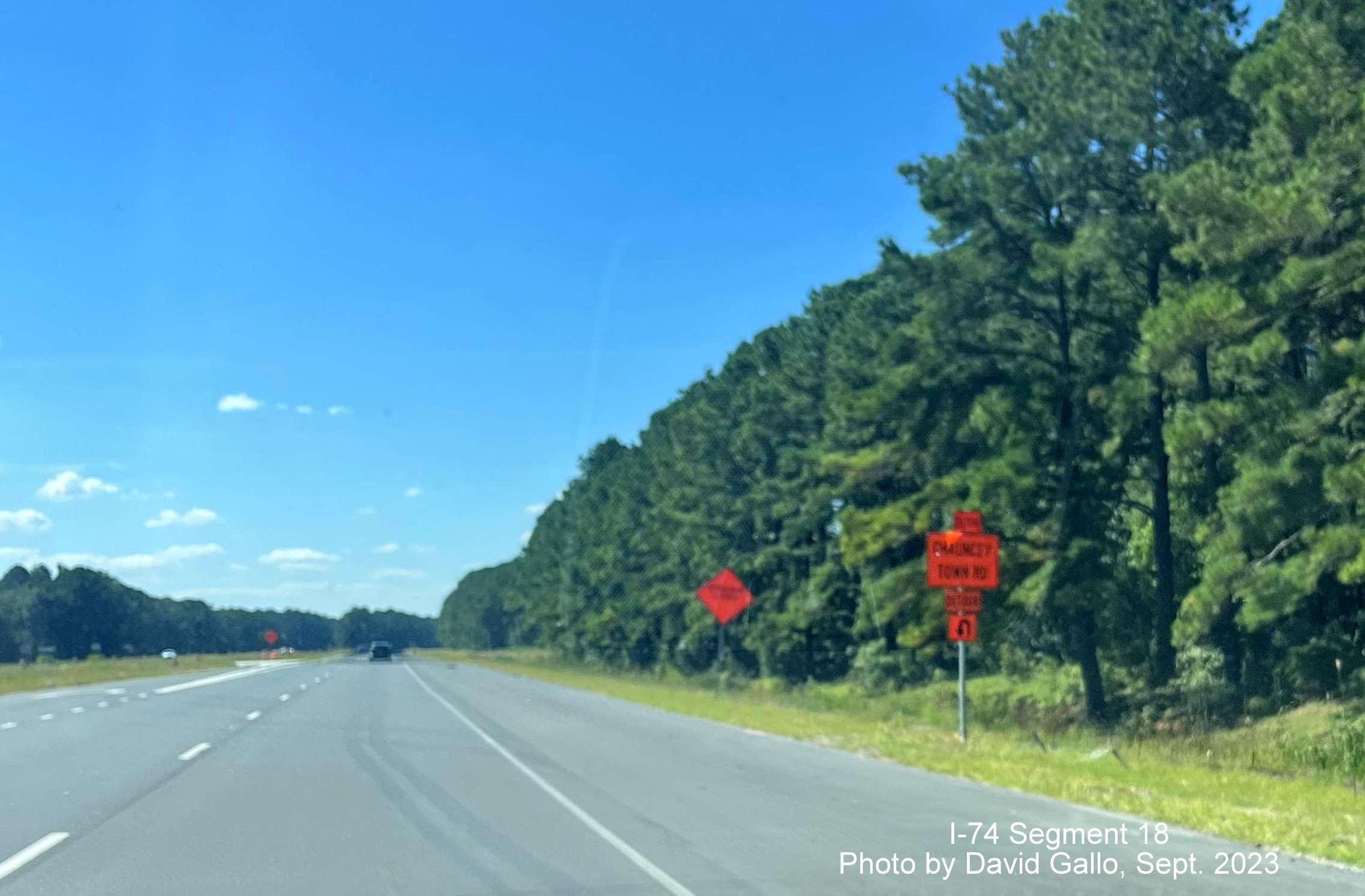
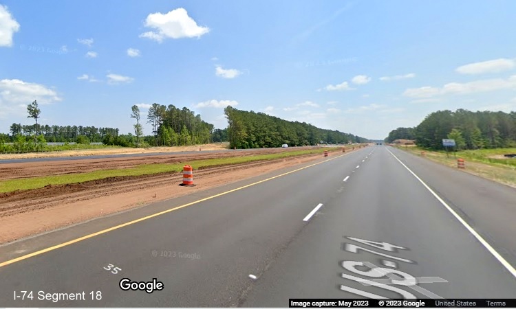
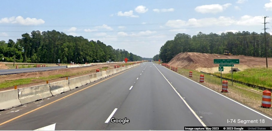
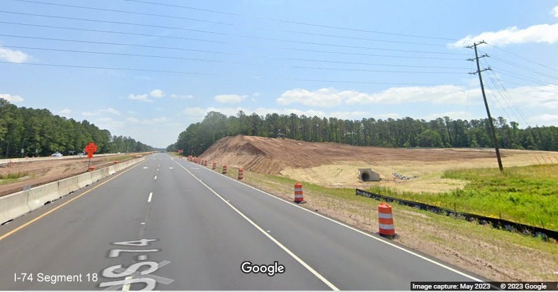
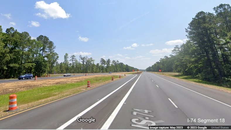
Taken by David Gallo along US 74/76 West in September 2023:
Approaching the site of the future Old Lake Road bridge, a completed
bridge support can be seen in the distance.
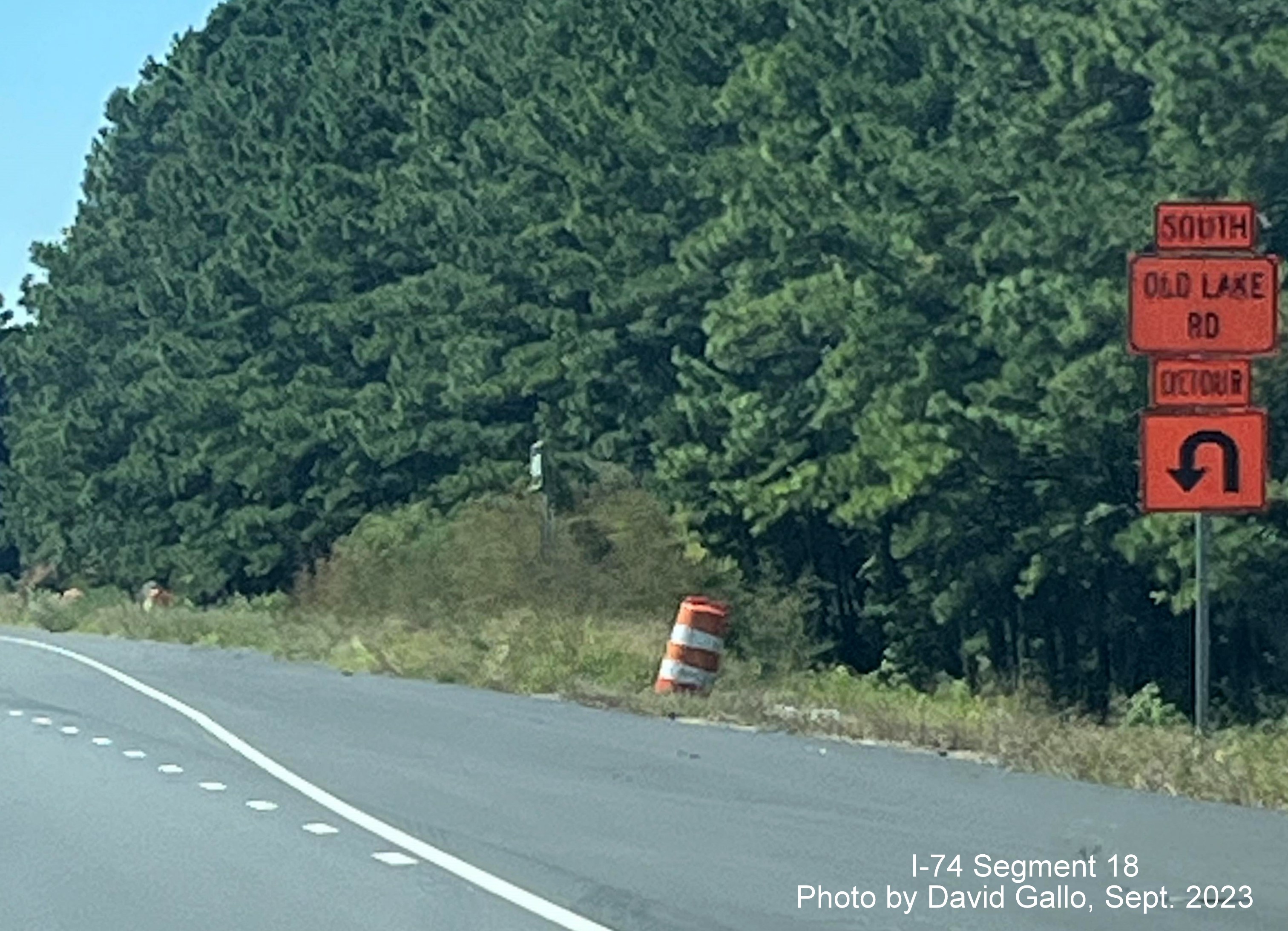
Approaching the site of the current Old Lake Road bridge, detour to
turn left is necessary since a bridge support has been built in the
median.
The completed future bridge supports at the current Old Lake Road
intersection.
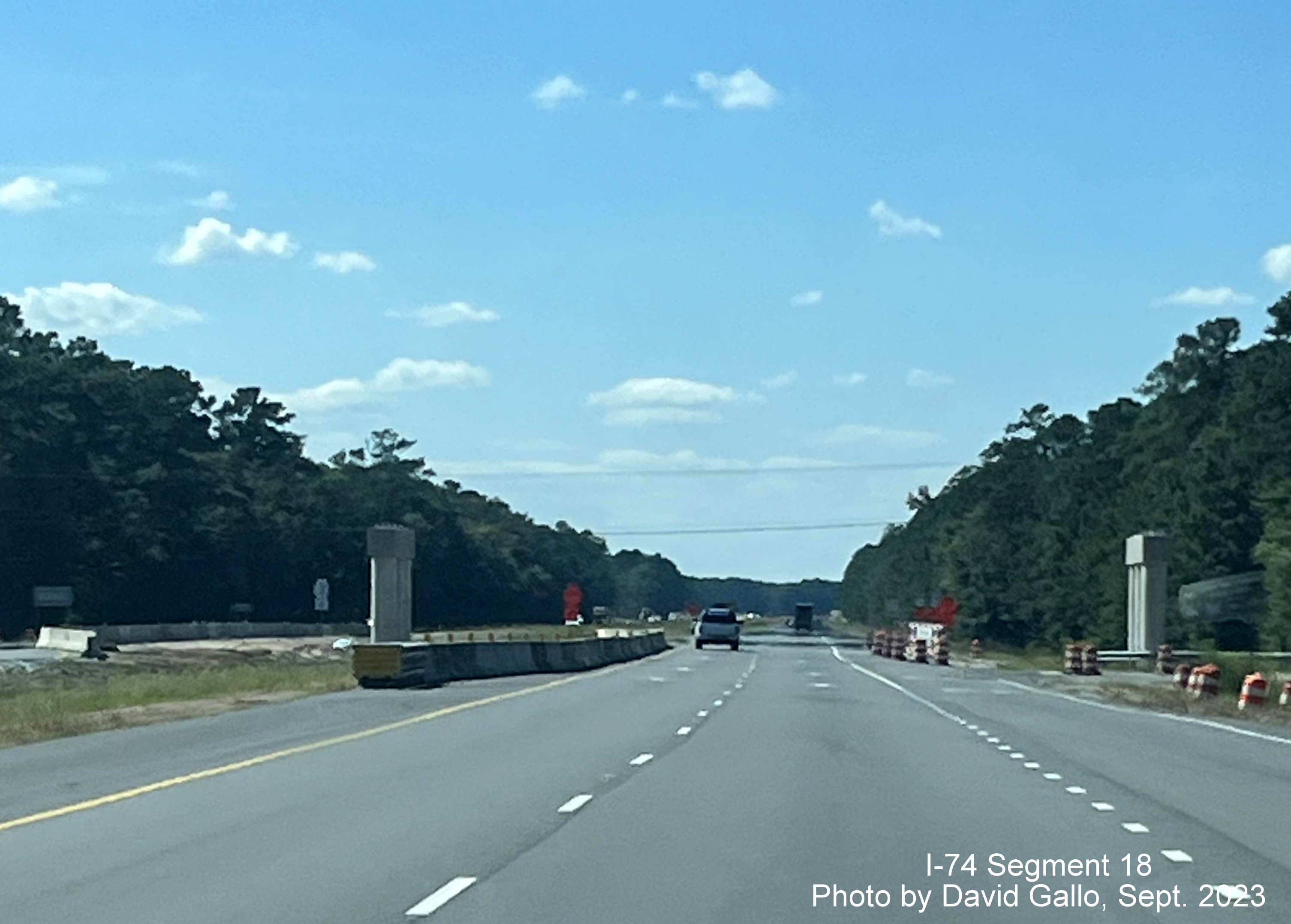
Approaching the current Chauncey Town Road intersection, the sign
pointing to the former left turn, now closed.
The current ramp to Chauncey Town Road with landscaping for bridge
construction behind.
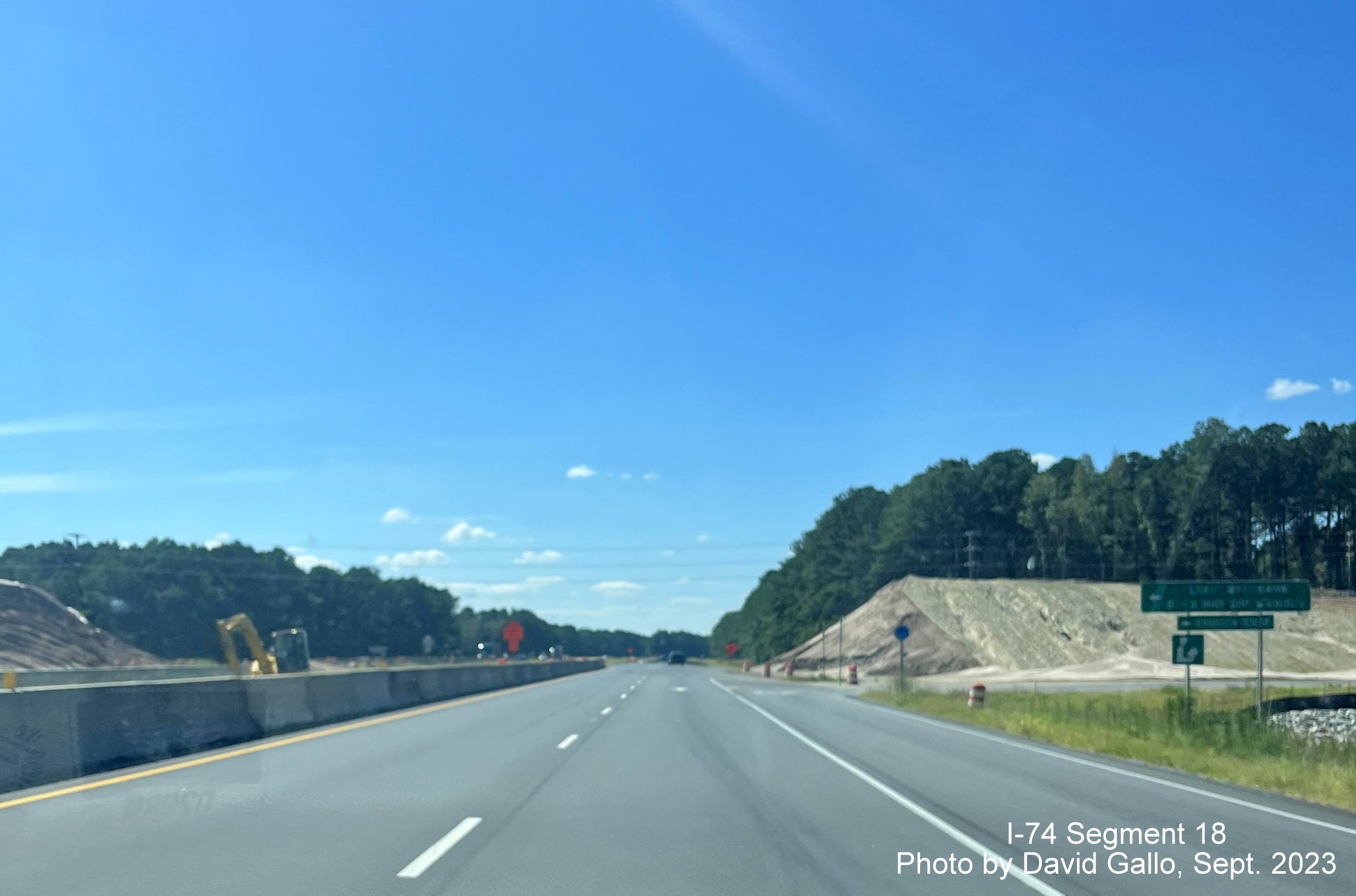
View of Chauncey Town Road bridge construction across the median along
US 74/76 East.
Signage for the detour route for the closed left turn lane for Chauncey
Town Road, to be removed after construction is completed.
EARLIER PHOTOS
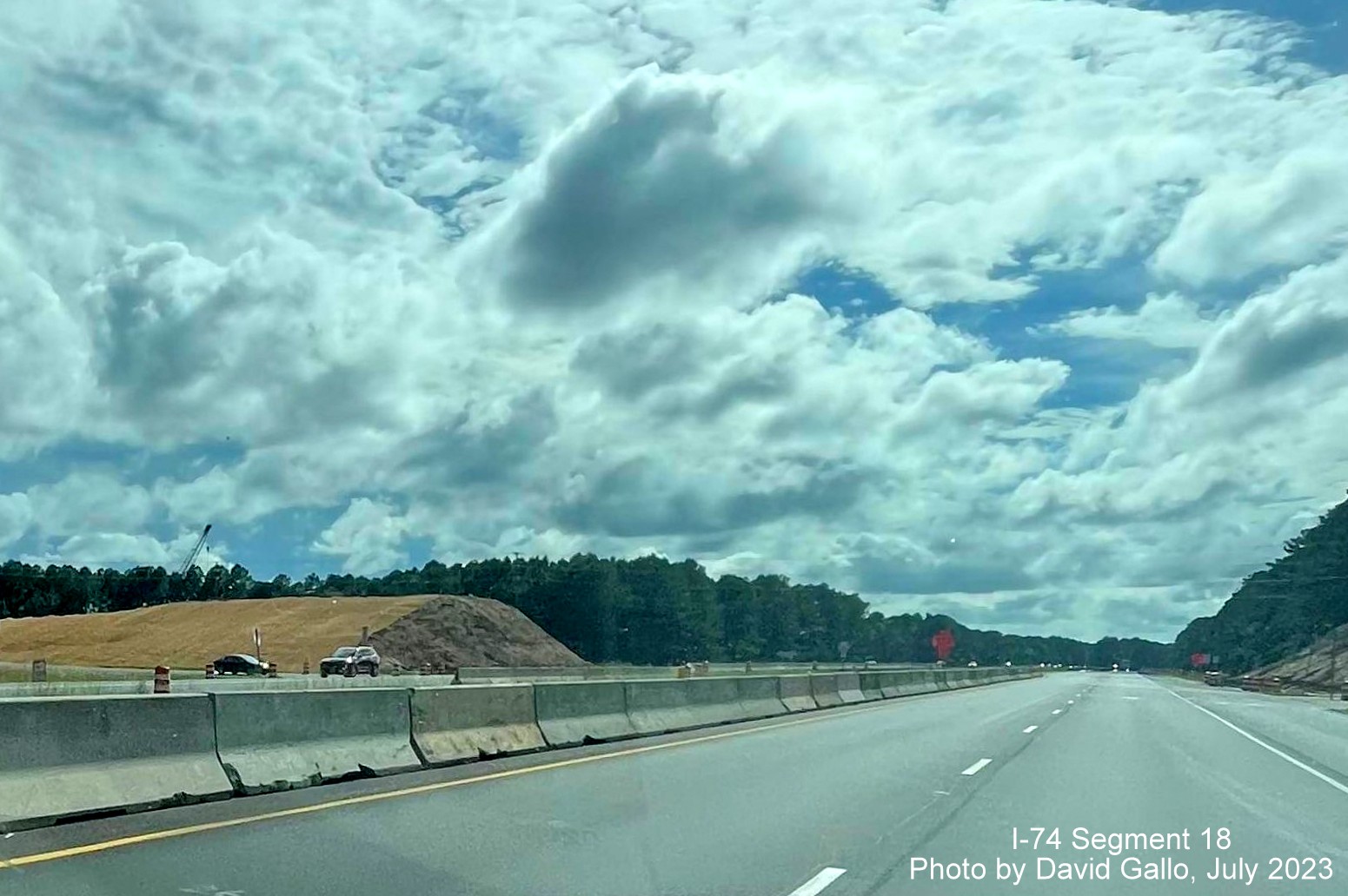
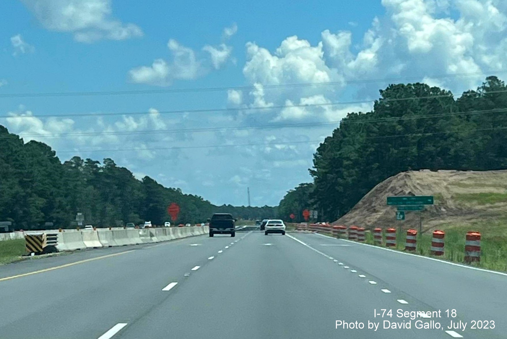
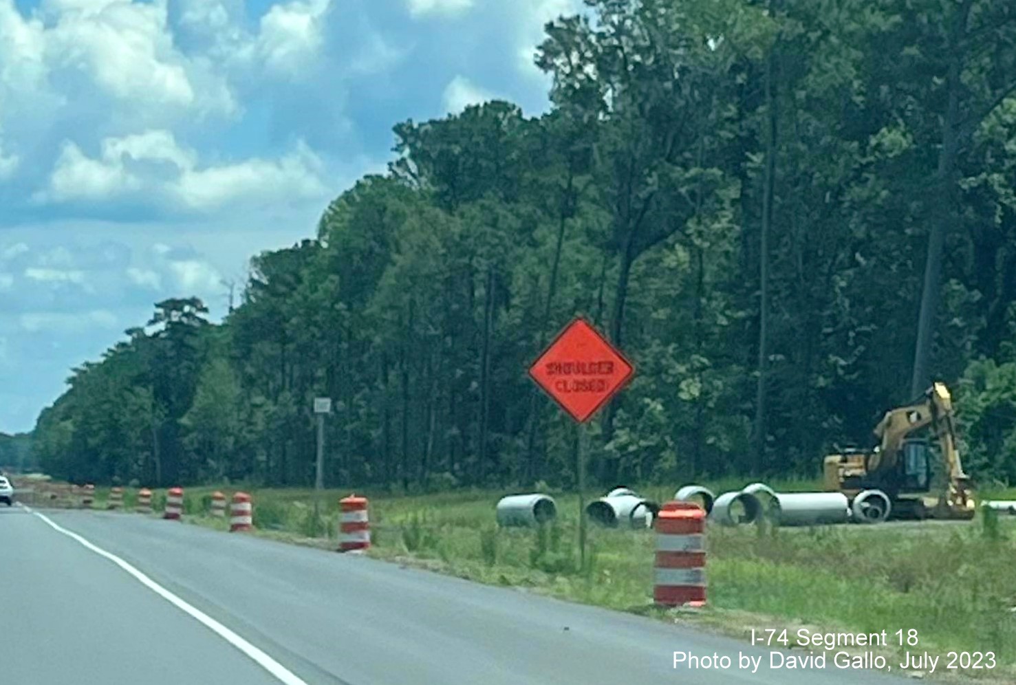
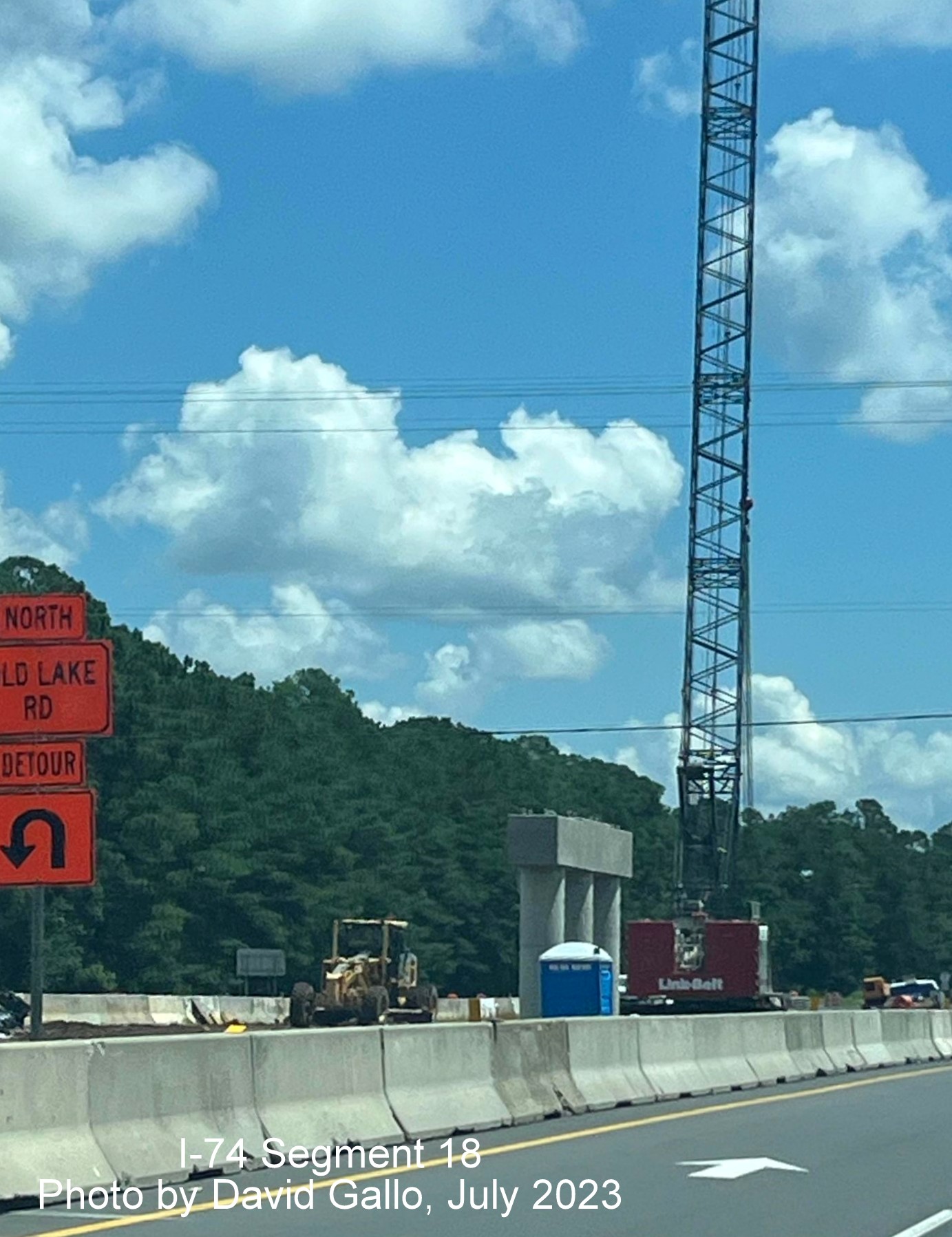
Taken by David Gallo, July 2023:
Traveling through the current Chauncey Town Road intersection on US
74/76 East with bridge construction underway.
View of the current Chauncey Town Road intersection at US 74/76 West
from eastbound roadway.
Signs for the current Chauncey Town Road intersection on US 74/76 East
to the right beyond the bridge construction.
Construction equipment along US 74/76 East prior to Old Lake Road.
Crane behind newly completed support for future Old Lake Road bridge on
US 74/76 East.
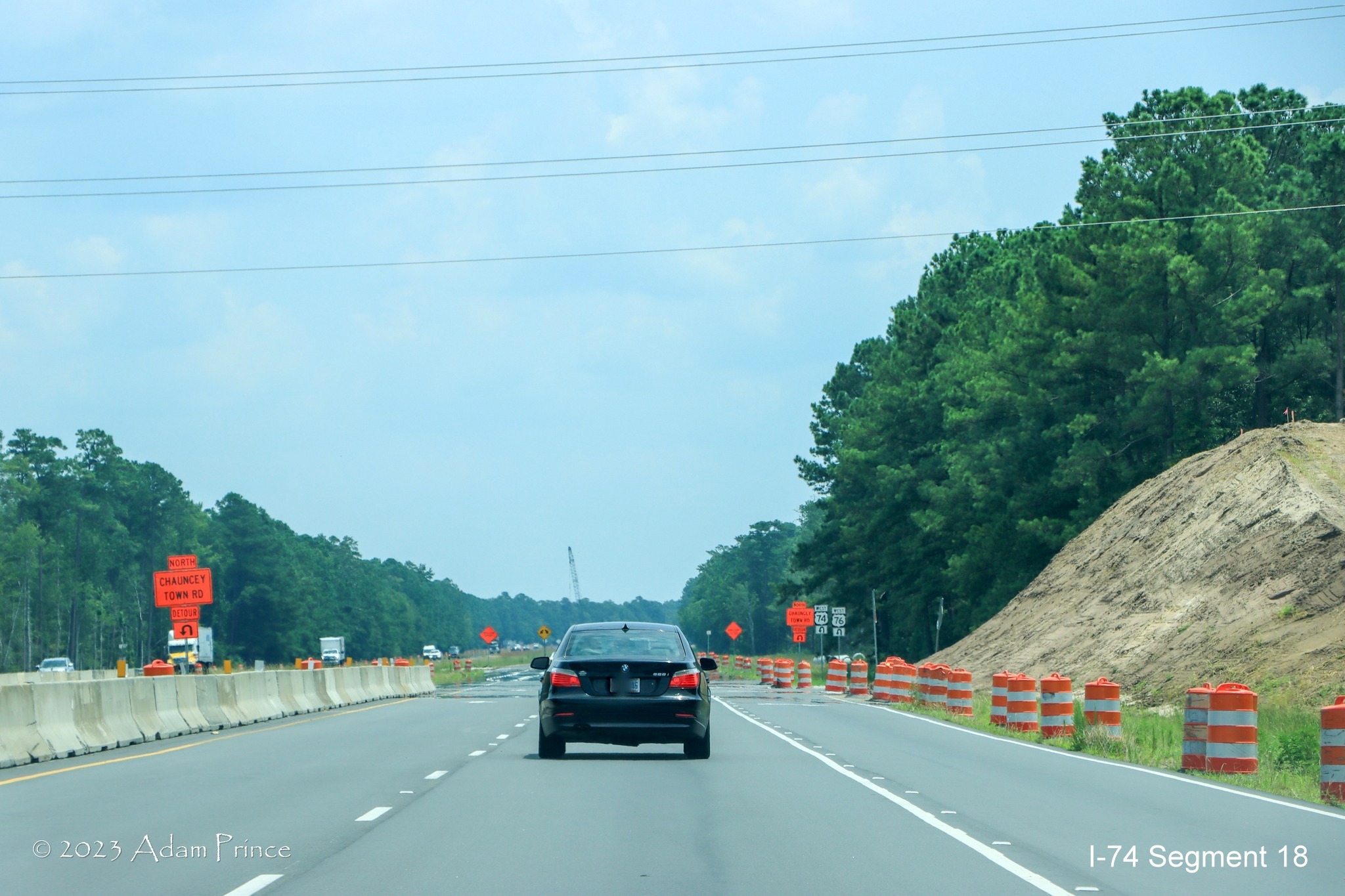
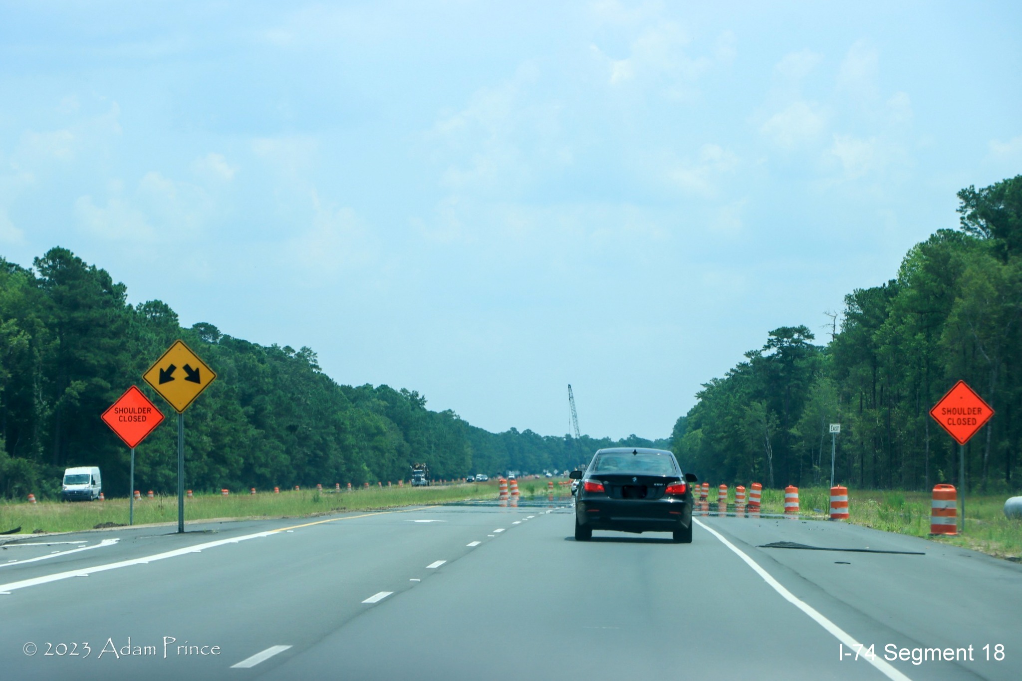
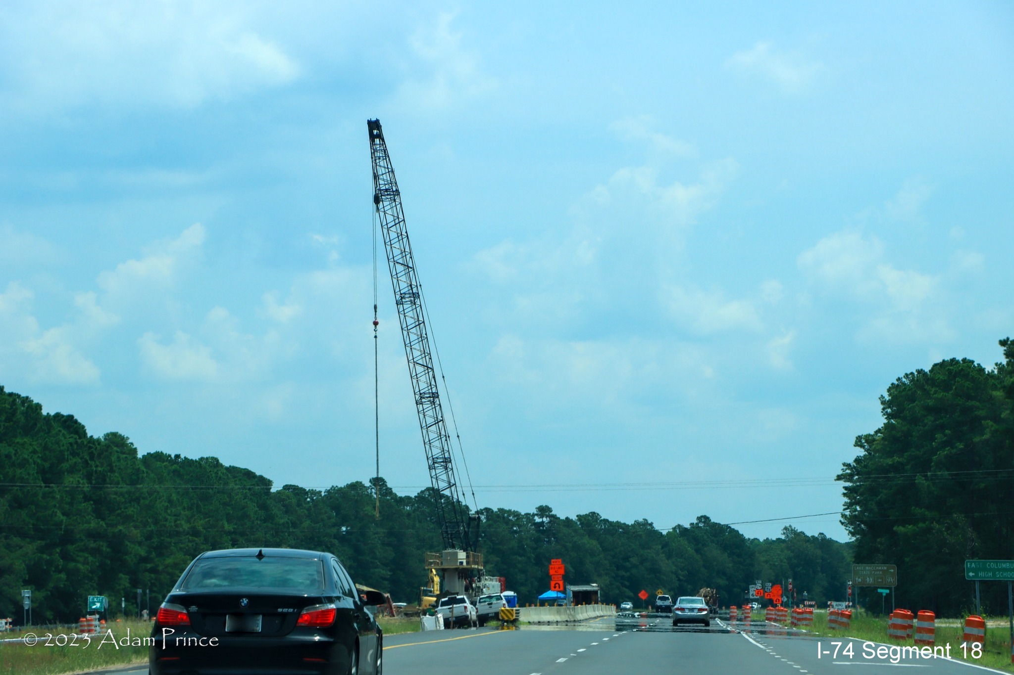
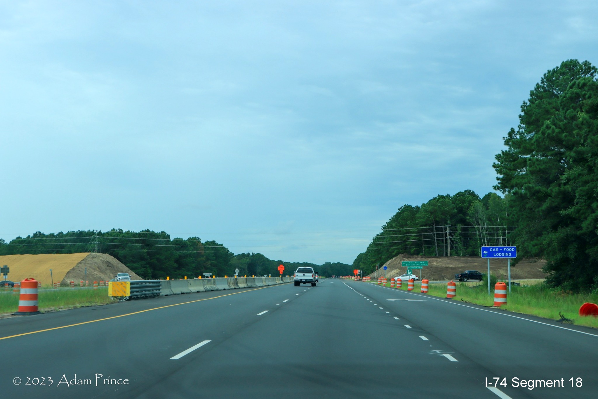
Taken by Adam Prince on July 26 and 29, 2023:
US 74/76 East passing through future site of Chauncey Town Road bridge
and interchange.
US 74/76 East passing the temporary turnaround used for traffic heading
from the Chauncey Town Road intersection to US 74/76 West.
US 74/76 East passing a crane being used for construct a support for
the future Old Lake Road bridge.
Now on US 74/76 West approaching the site of the future Lake Road
bridge from the other direction.
View from US 74/76 West of future Chauncey Town Road bridge and
interchange under construction.
EARLIER PHOTOS
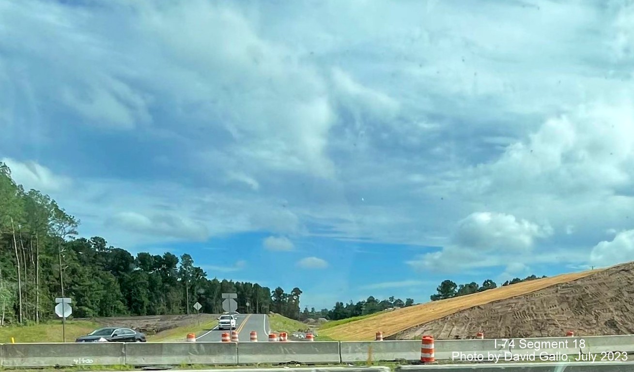
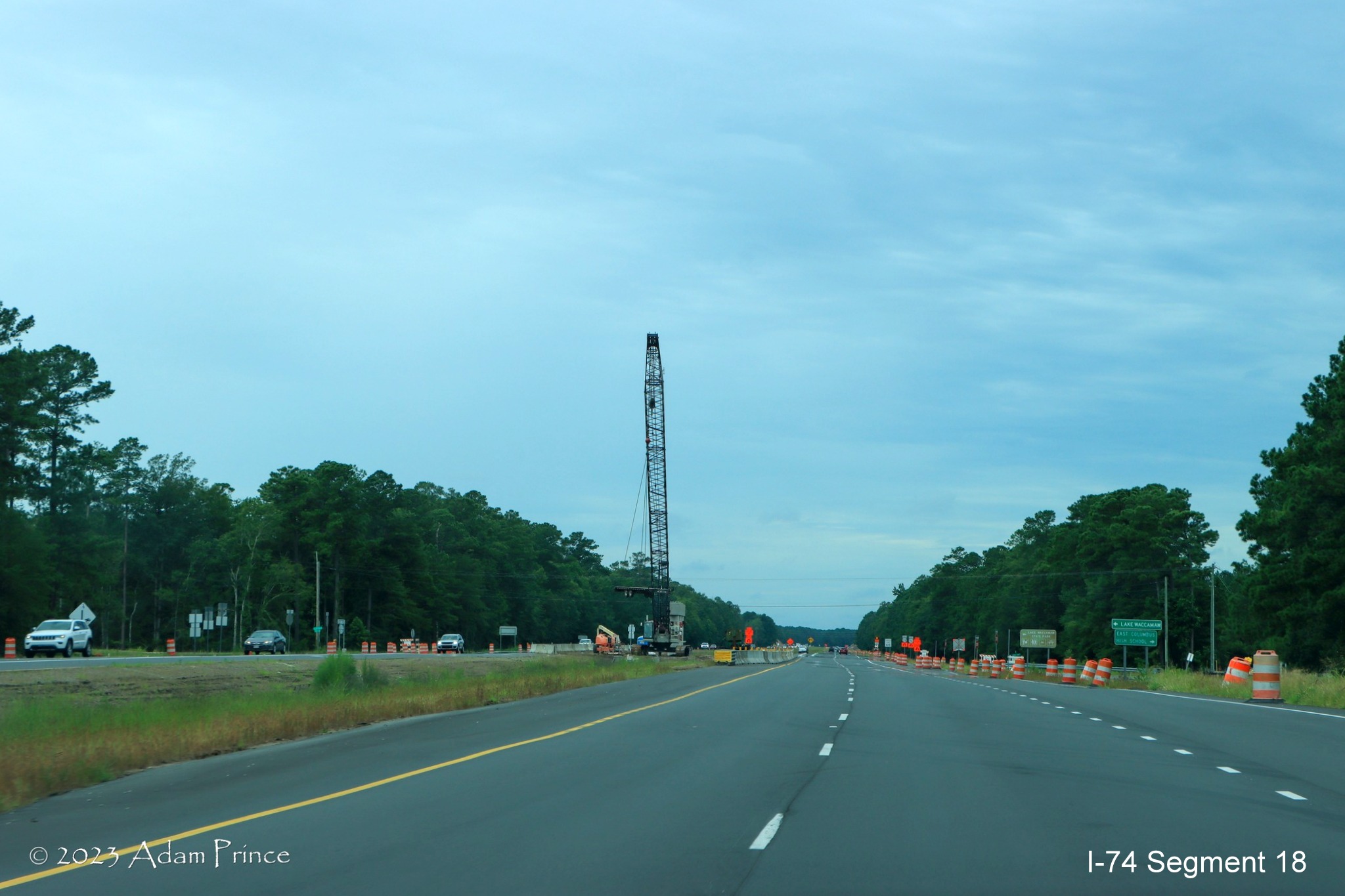
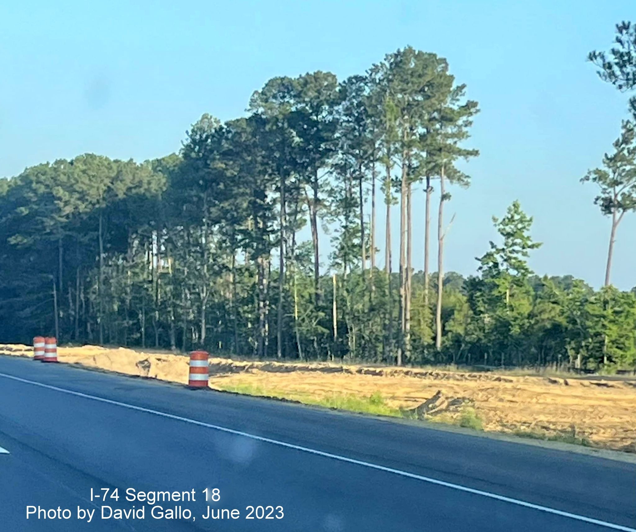
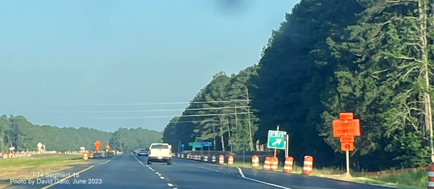
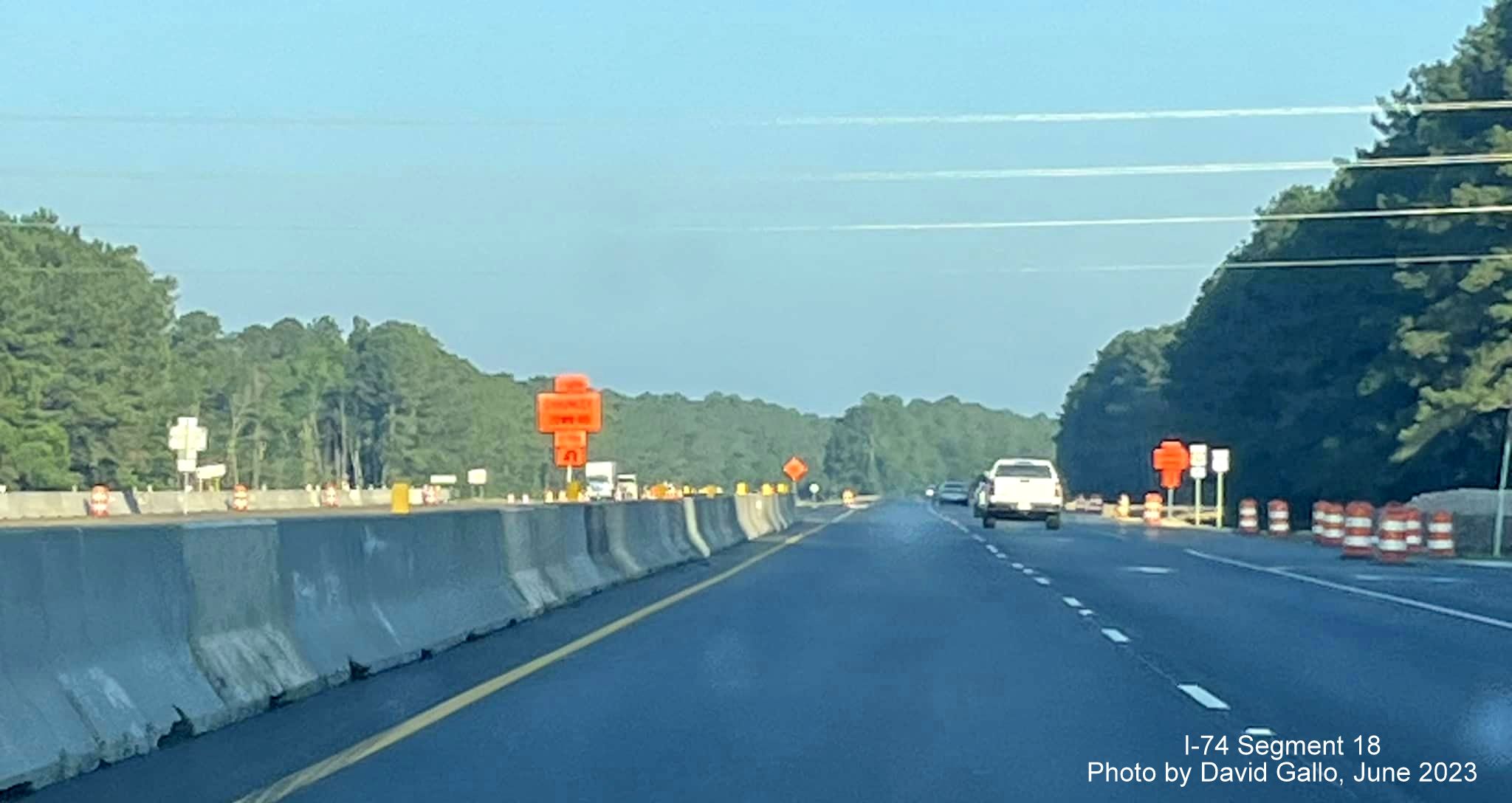
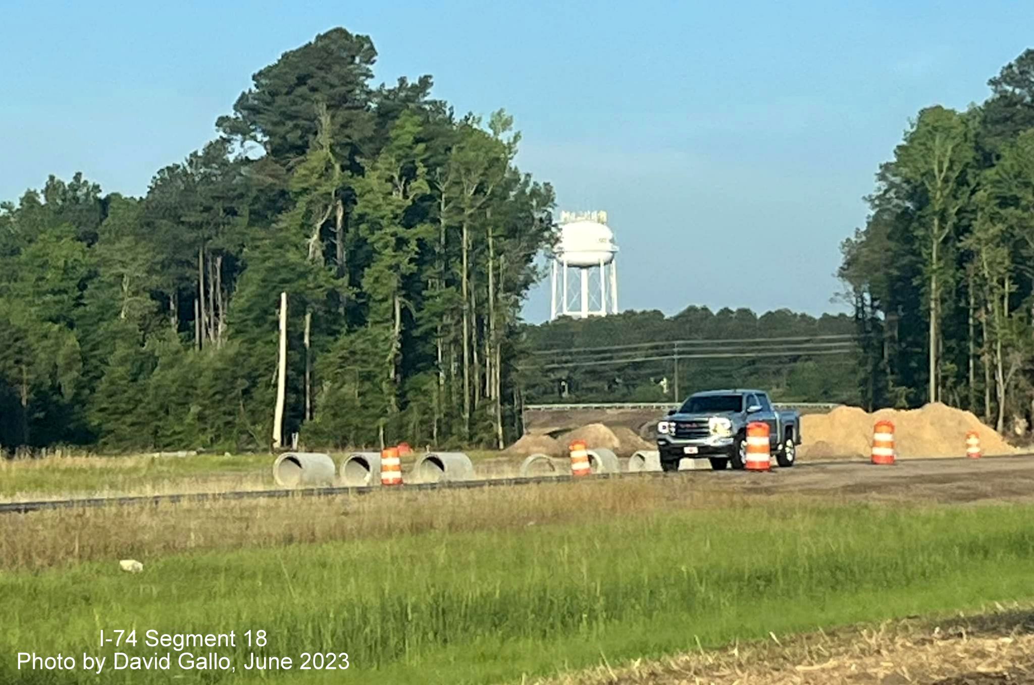
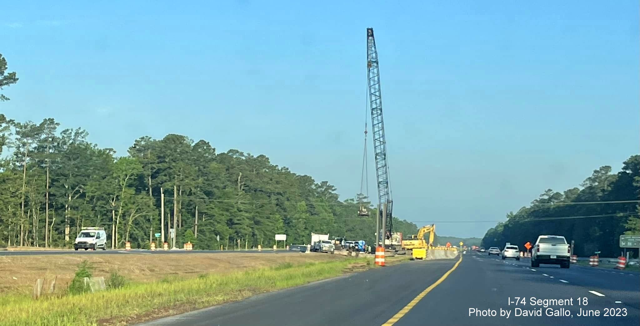
Taken by David Gallo in June 2023:
Future ramp from Chauncey Town Road interchange being graded along US
74/76 in Lake Waccamaw.
Temporary exit sign in place approaching current intersection with
Chauncey Road along US 74/76 East in Lake Waccamaw.
Concrete barriers along US 74/76 East prior to temporary reduced
conflict turnaround ramp for Chauncey Town Road.
Grading and culvert work beginning future ramp from Chauncey Town Road
to US 74/76 West.
Construction crane in the median at future site of the Old Lake Road
bridge over US 74/76 (Future I-74).
PREVIOUS PHOTOS
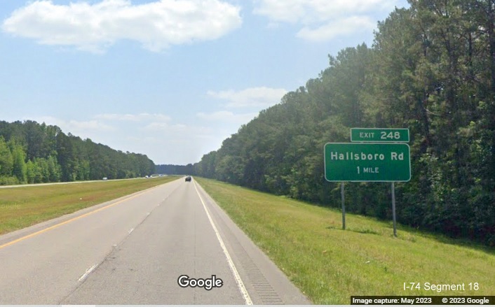
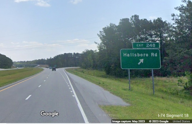
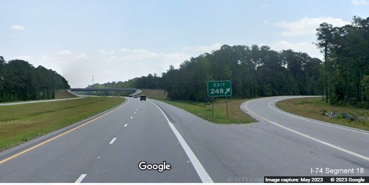
Google Maps Street View images along US 74/76 in the vicinity of the
completed Boardman interchange from May 2023:
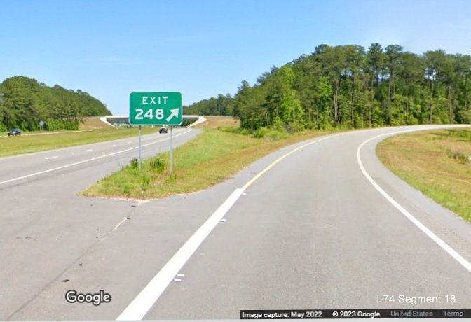
The 1 mile advance sign heading east.
The exit sign.
The gore sign with the exit number for Hallsboro Road, 248.
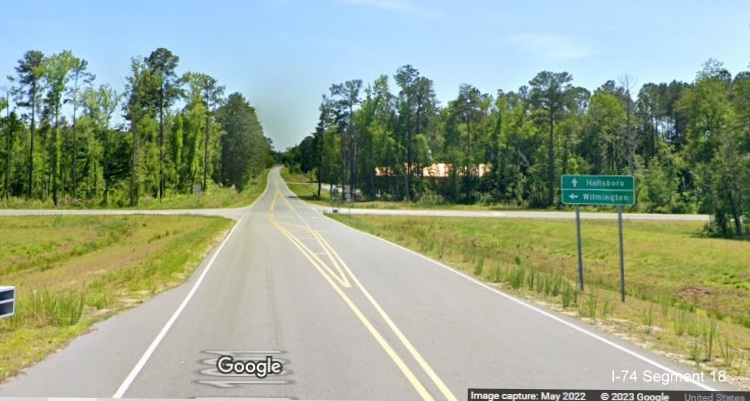
Hallsboro Road images from May 2022:
The signage approaching the ramp to US 74/76 East.
The signage for the westbound ramp, should Lumberton also be mentioned?
Perhaps Whiteville?
PREVIOUS PHOTOS (Taken 6/2/23)
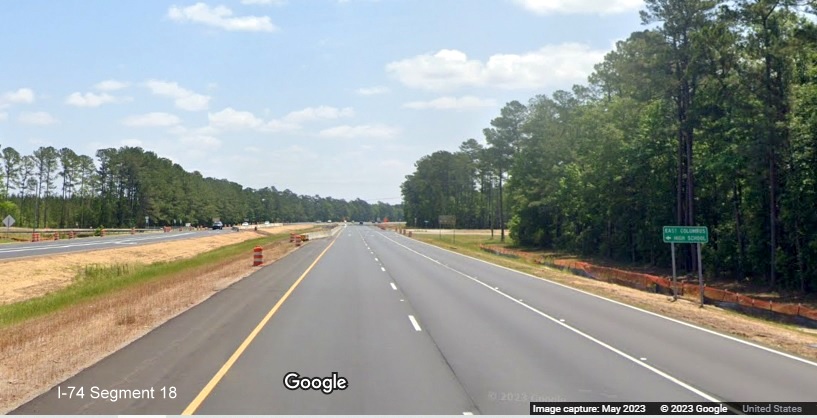
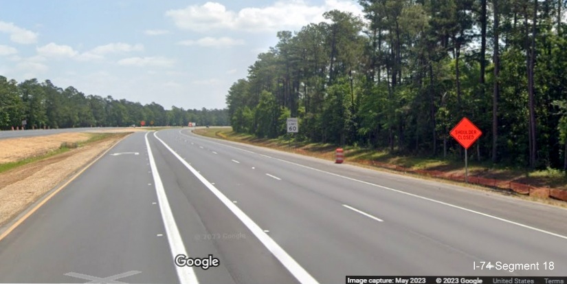
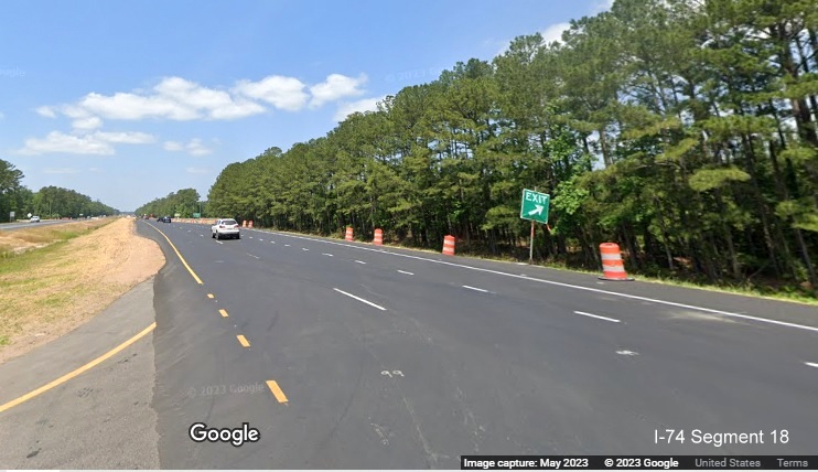
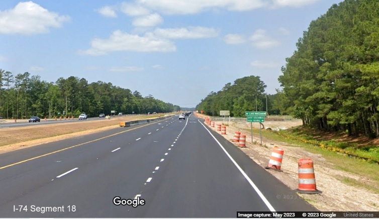
Google Maps Street View images along US 74/76 in the vicinity of the
Lake Waccamaw interchange project from May 2023:
Widened shoulders, graded median and paved roadway mark the start of
the Lake Waccamaw interchange work zone on US 74/76 East.
Looks like the mile marker has been moved due to the widened shoulder
while median work continues along US 74/76 East.
The future on-ramp to US 74/76 West from Lake Waccamaw is being built
through the gap in the trees on the left.
The intersection with Chauncey Town Road on US 74/76 East is now
partially hidden by soil being placed for the future bridge at the Lake
Waccamaw interchange.
A closer look at the future Chauncey Town Road bridge site on US 74/76
East.
One of the temporary u-turn lanes to access US 74/76 West, this one
after the Chauncey Town Road intersection.
Approaching the current Old Lake Road intersection on US 74/76 East to
be removed as part of the interchange project.
The next u-turn lane after the Old Lake Road intersection allowing
access to US 74/76 West.
After using the u-turn ramp, the existing Old Lake Road intersection is
marked by an Exit sign on US 74/76 West.
Approaching the Old Lake Road intersection on US 74/76 East. The future
shoulder being used as a right turn lane.
New pavement marks building of a temporary roadway for Old Lake Road
to detour traffic from the future bridge to be built over US 74/76.
Earlier Photos
Images taken from Google Maps Street View, May 2022, going west to
east:
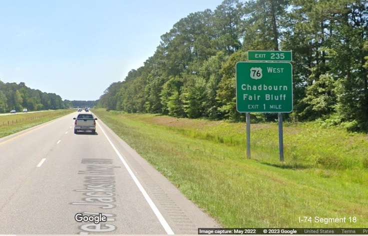
The 1 Mile advance for the US 76 West exit at the end of the Whiteville
Bypass. You can tell the exit tab was added after the signs were put up
since the text at the bottom also includes the now unnecessary exit
text.
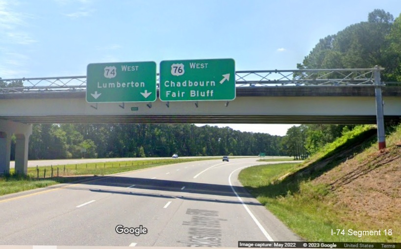
The overheads at the split of US 74 and US 76 West, notice there is no
exit tab.
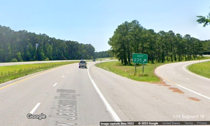
The gore sign for the US 76 West exit.
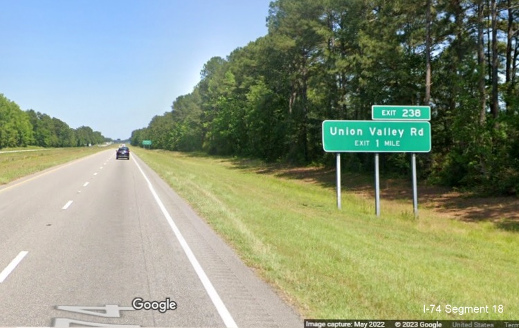
The 1 Mile advance eastbound for the next exit, Union Valley Road. The
NCDOT Feasibility Study for upgrading US 74 to interstate standards
beyond NC 41 in Lumberton chose this exit as the end point.
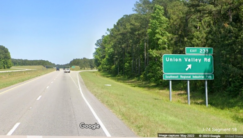
The exit sign Union Valley Road on East US 74/76, apparently home of
the Southeast Regional Industrial Park.
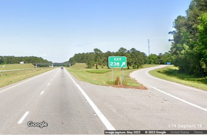
The Union Valley Road gore sign. Unlike the newer exits in Segment 17,
there is no wider shoulders surrounding the exit ramps along the
Whiteville Bypass.
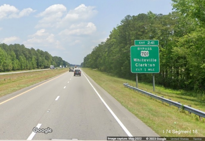
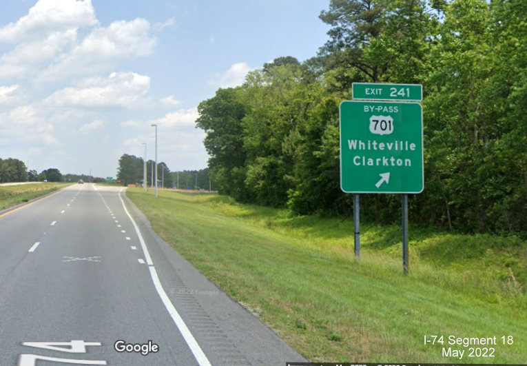
The 1 mile advance sign for the Bypass US 701 exit in Whiteville.
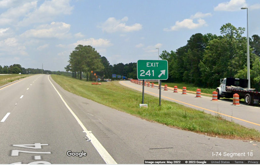
The exit sign for the Bypass US 701 exit, road under construction.
The gore sign for the Bypass US 701 exit. Exit ramp partially closed.
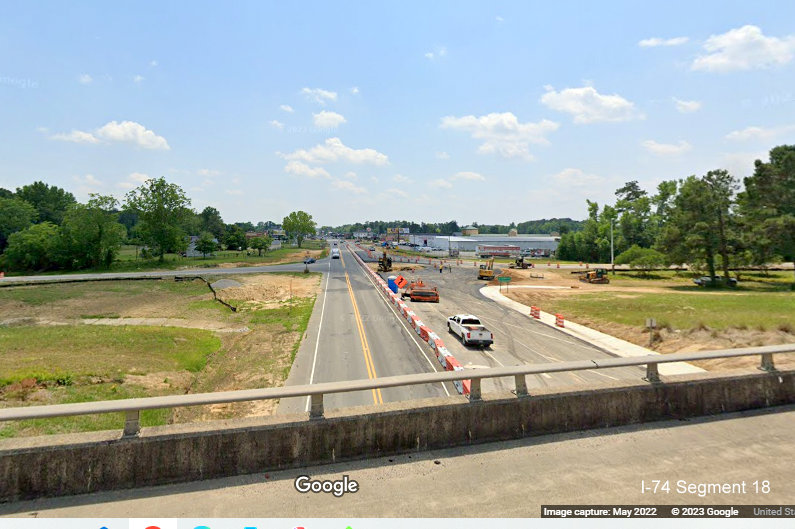
Bypass US 701 widening construction in Whiteville seen from East US
74/76 bridge.
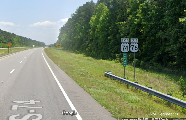
The pair of East US 74/76 reassurance marker after the Bypass US 701
exit at milepost 242 of Future I-74.
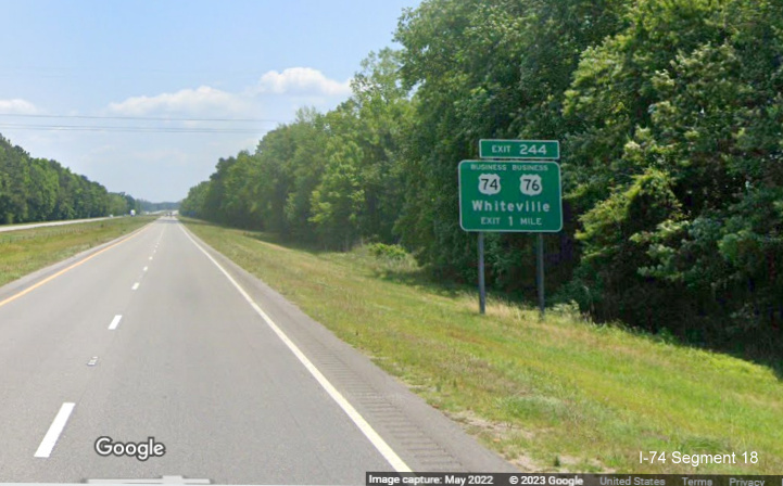
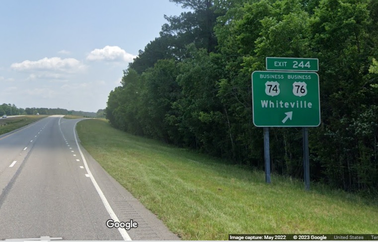
The 1 mile advance for the next exit, Business US 74/76.
The Business US 74/76 exit sign. Both routes only go west, in the
reverse direction, signed for those who need to go back to
Whiteville(?).
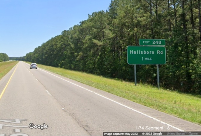
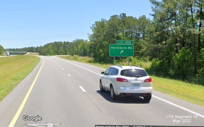
The 1 Mile advance sign for the New Hallsboro Road exit.
The exit sign for the New Hallsboro Road exit, it does resemble the
sign plan seen above.
The gore sign for the Hallsboro Road exit.
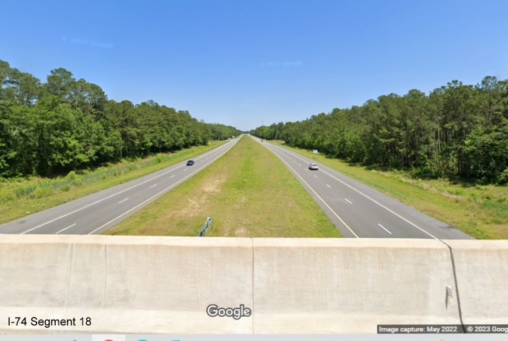
View looking
east from the Hallsboro Road bridge showing the interstate standard
roadway in vicinity of the exit.
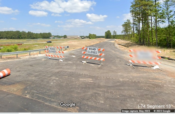
The freeway currently ends near mile marker 252 east of Hallsboro Road.
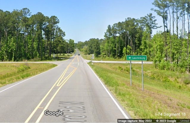
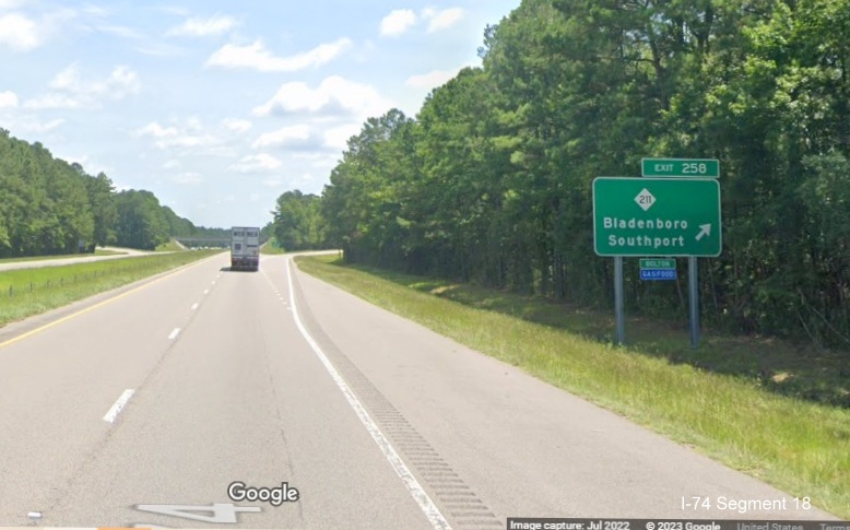
There is one more exit with an I-74 mileage exit number, for NC 211,
here is the first and only advance sign (same case heading west). A
Feasibility Study looking at the future route of I-74 between NC 211 and
US 17, put the proposed interchange about a mile west of this location.
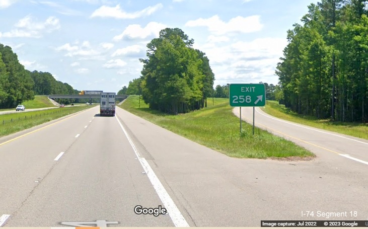
The NC 211 exit sign. Notice the return of the interstate standard
shoulders.
The gore sign with the I-74 exit number, the last one in this segment.
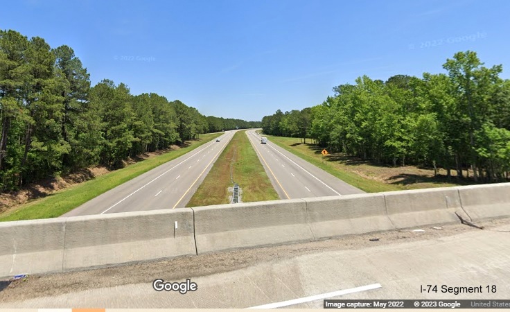
Looking east from the NC 211 bridge, showing the interstate standard
freeway between exit ramps.
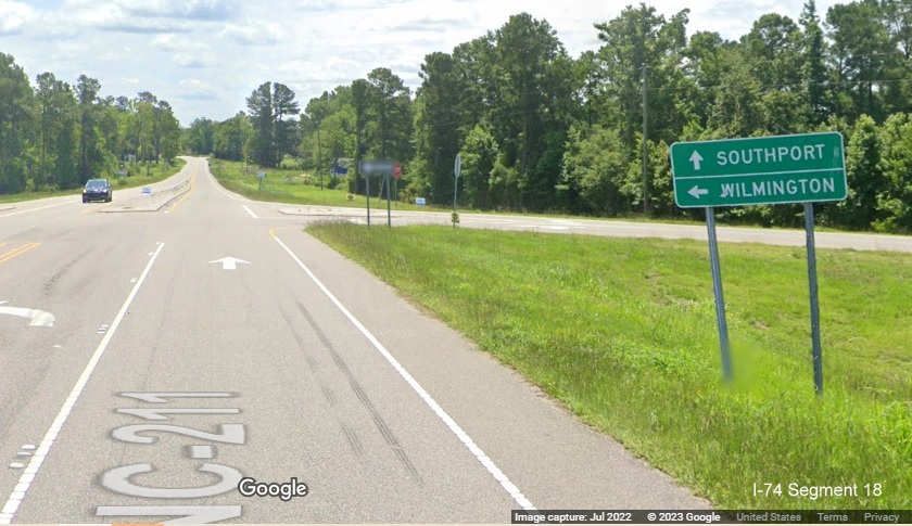
Signage for the US 74/76 East on-ramp from NC 211 South.
The US 74/76 East freeway ends just after I-74 mile 259, just beyond
the NC 211 exit, almost 30 miles away from Wilmington.
Construction Photos
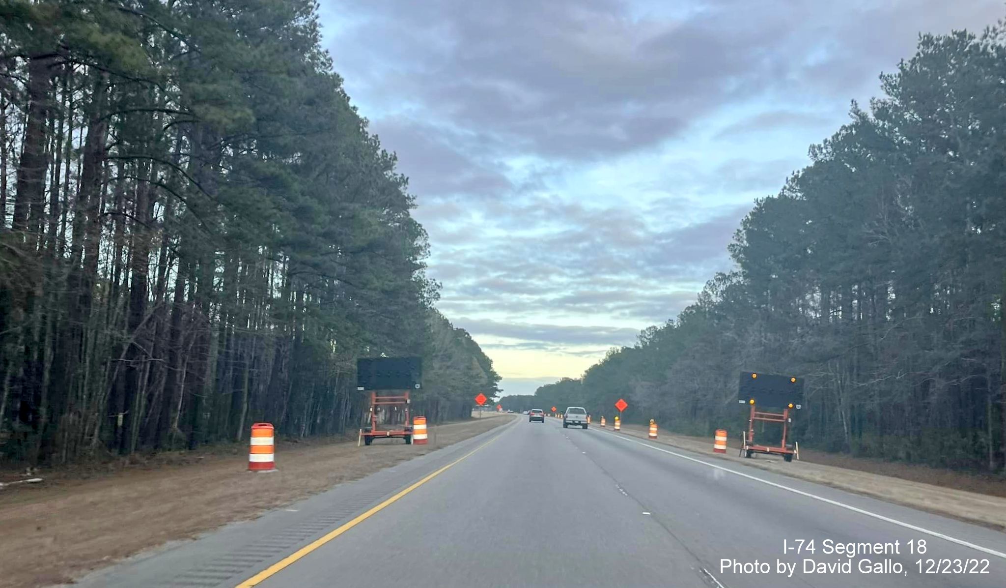
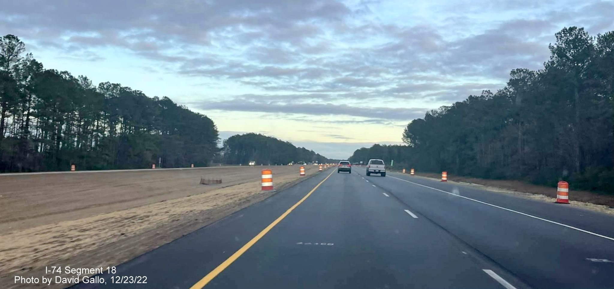
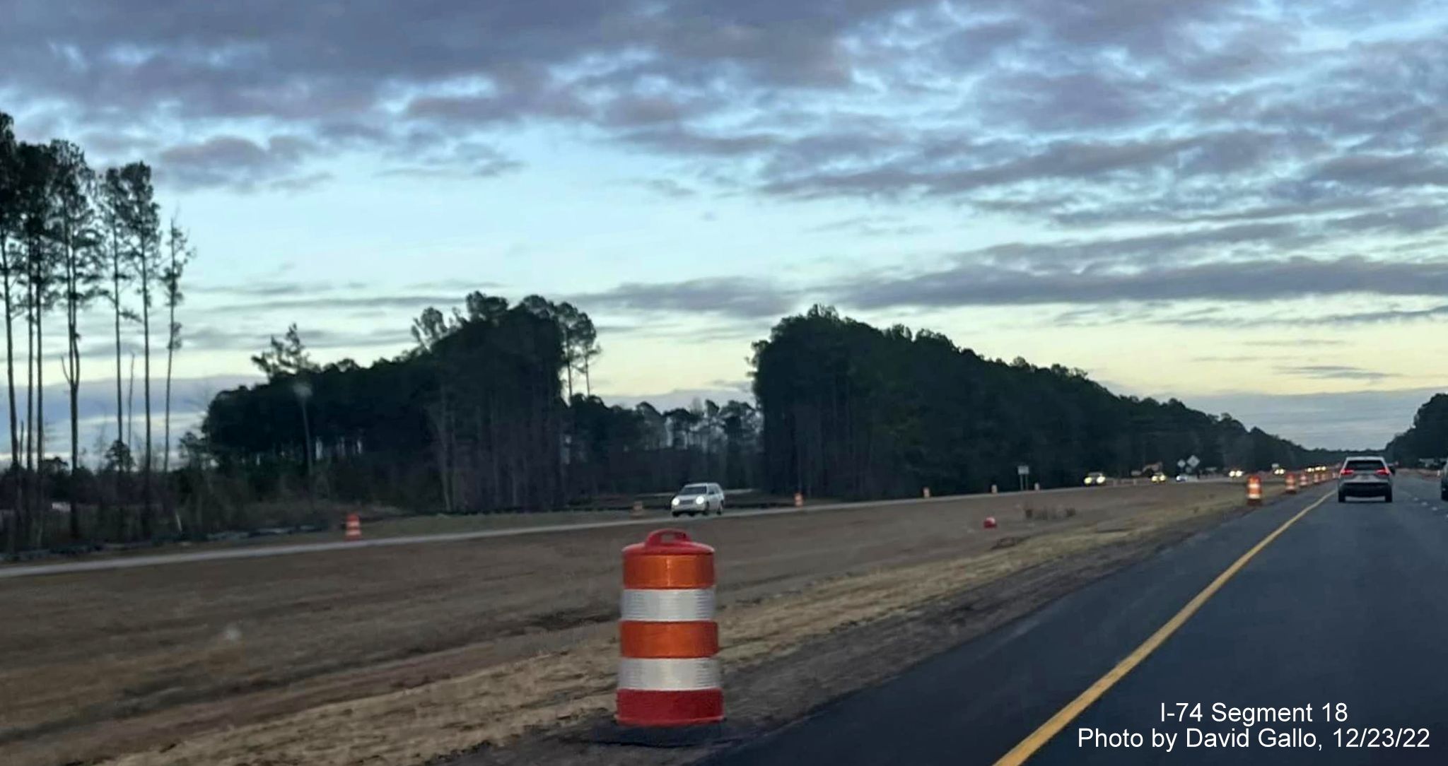
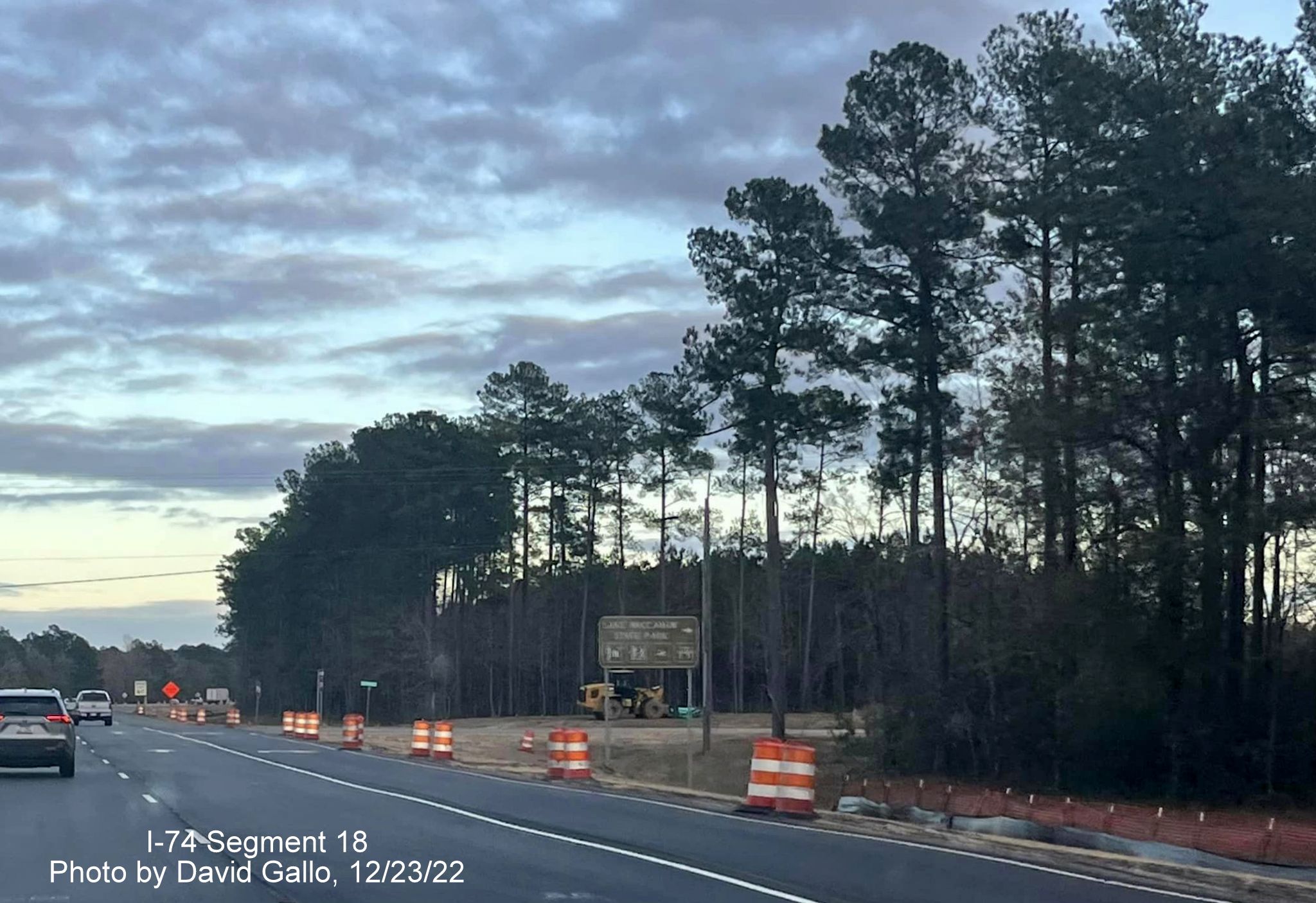
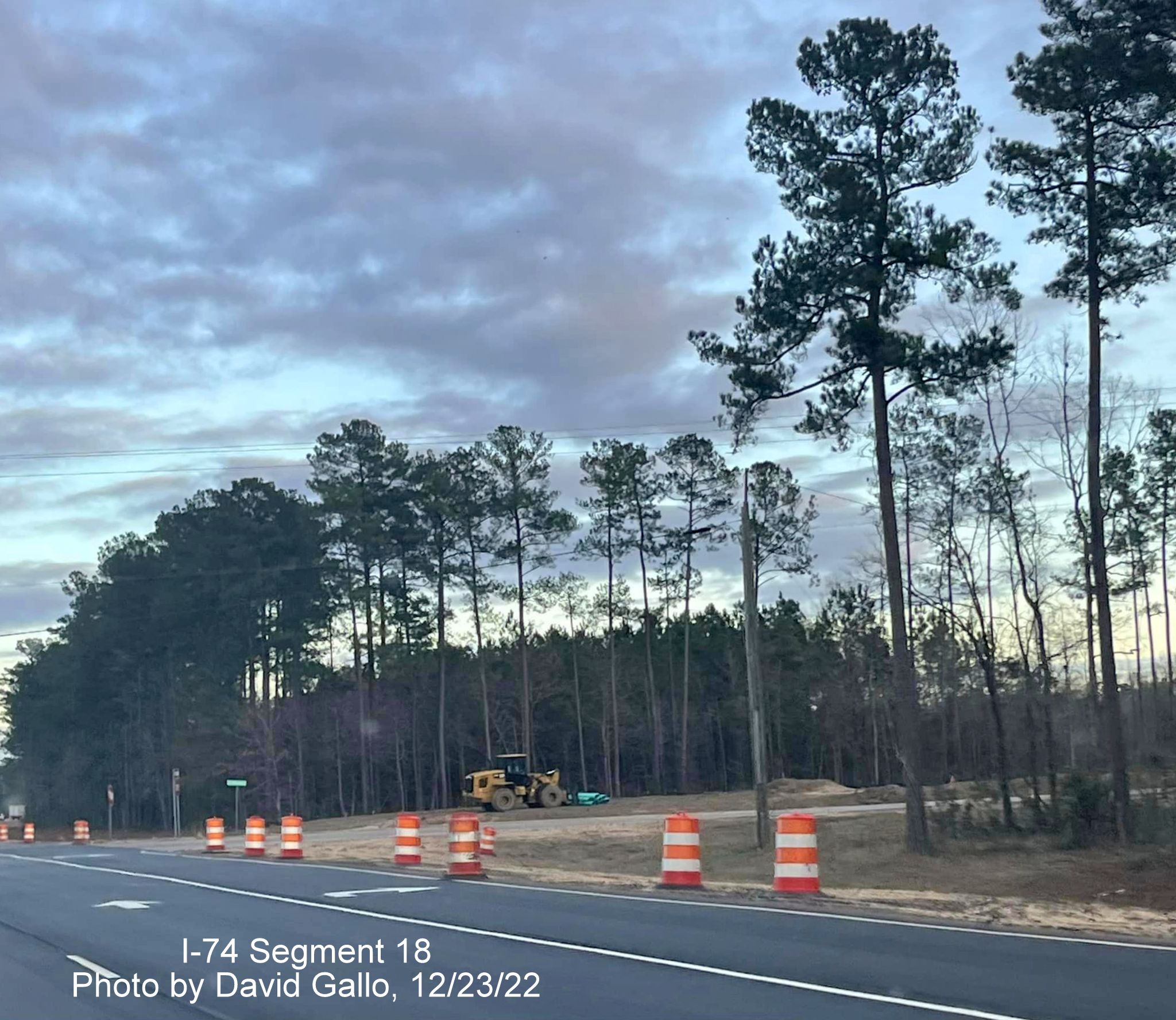
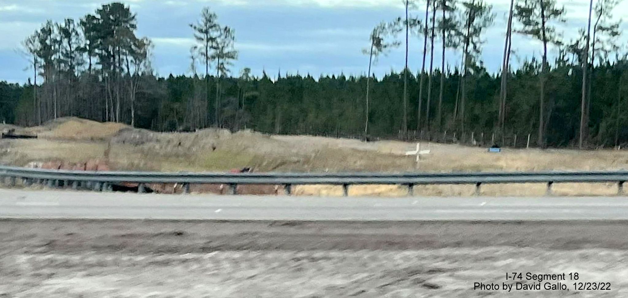
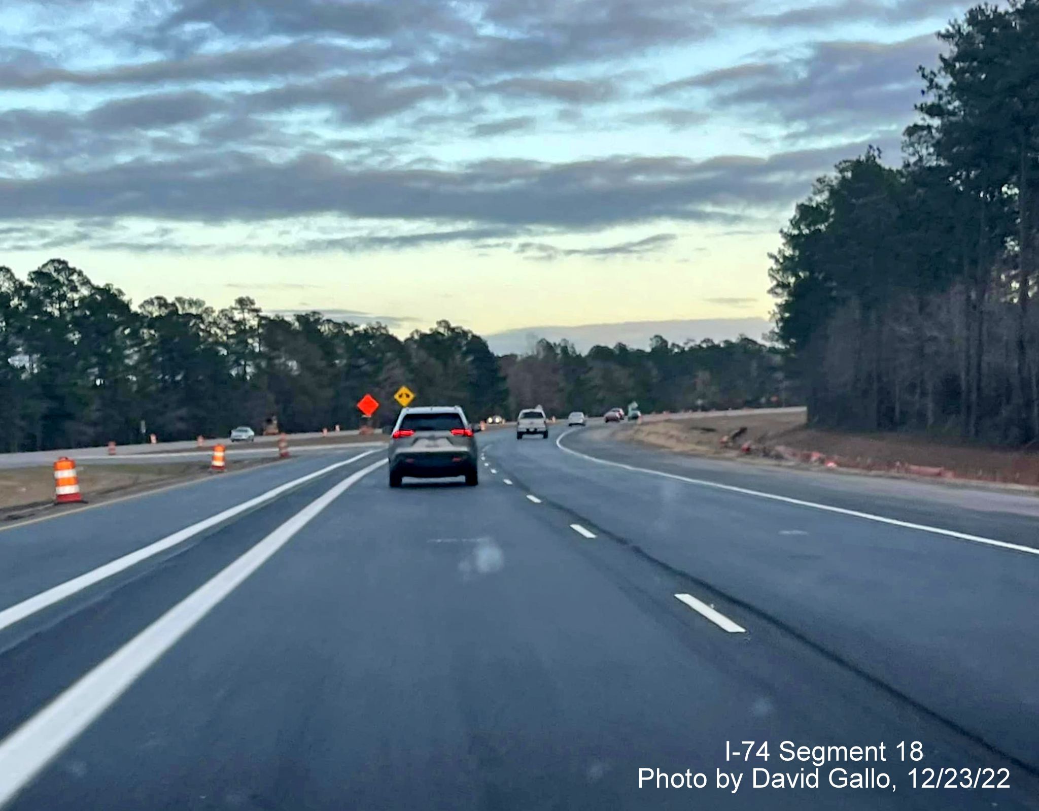
Here are the latest photos of the construction work on the Lake
Waccamaw interchange project taken on December 23, 2022 by David Gallo:
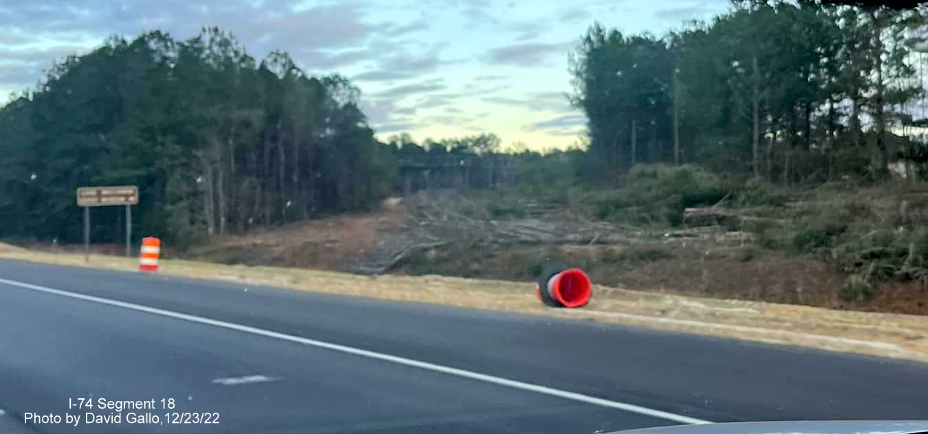
Entering the work zone on US 74/76 East.
Portable message boards set up, but not activated along US 74/76 East.
The median approaching the future interchange site has been graded and
the roadbed repaved.
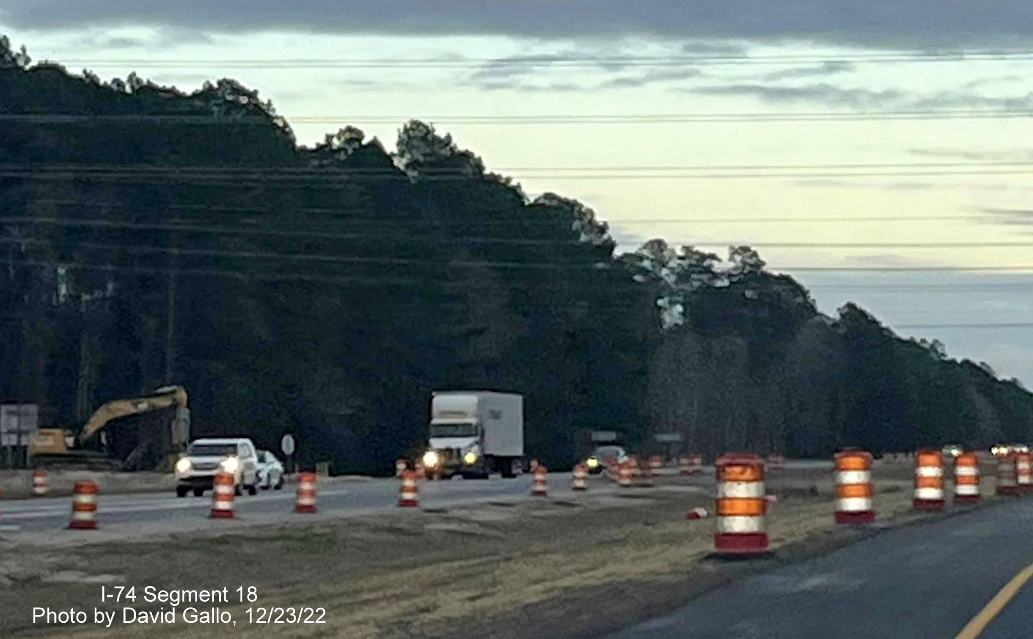
A closer look at the median construction along US 74/76 East.
Site of the future interchange ramp to Chauncey Town Road from US 74/76
(Future I-74) East.
More graded median at the Chauncey Town Road intersection.
Graded area to be future on-ramp from Chauncey Town Road to US 74/76
(Future I-74) East.
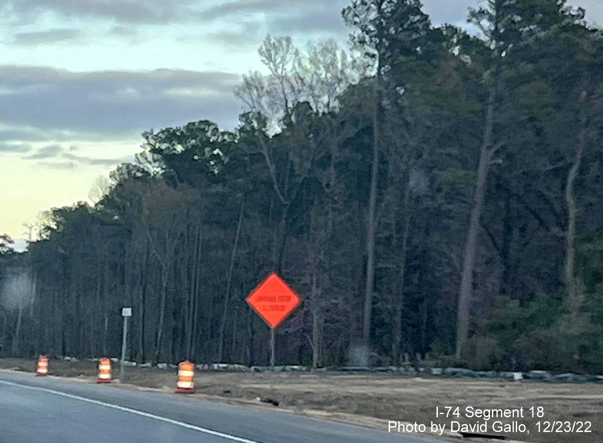
Approaching site of the future bridge to carry Old Lake Road over US
74/76 (Future I-74) East.
Current intersection with Old Lake Road on US 74/76 East.
Closer look at construction work along Old Lake Road where it
intersects US 74/76 (Future I-74) East.
Clearing at the site of the future Old Lake Road bridge over US 74/76
(Future I-74).
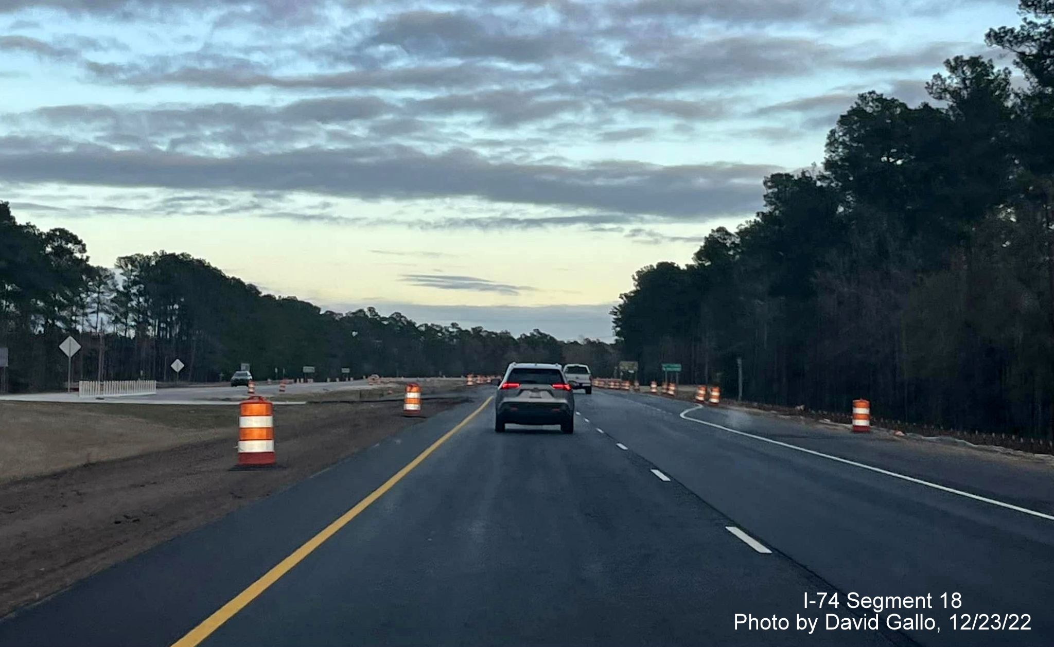
Approaching temporary reduced conflict intersection westbound turn lane
after Old Lake Road on US 74/76 (Future I-74) East near end of work
zone.
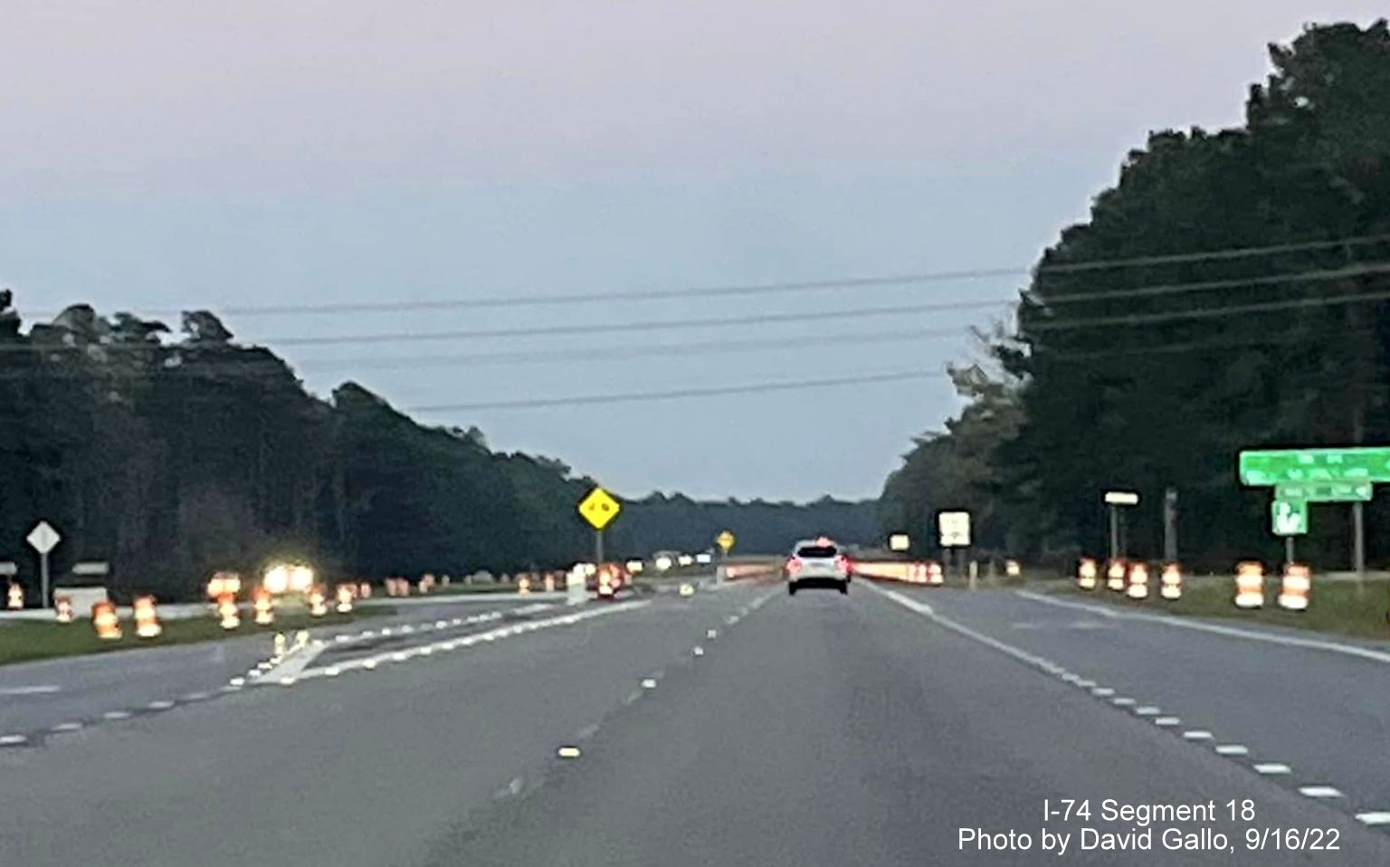
Here are some earlier photos taken in September 2022 by David Gallo:
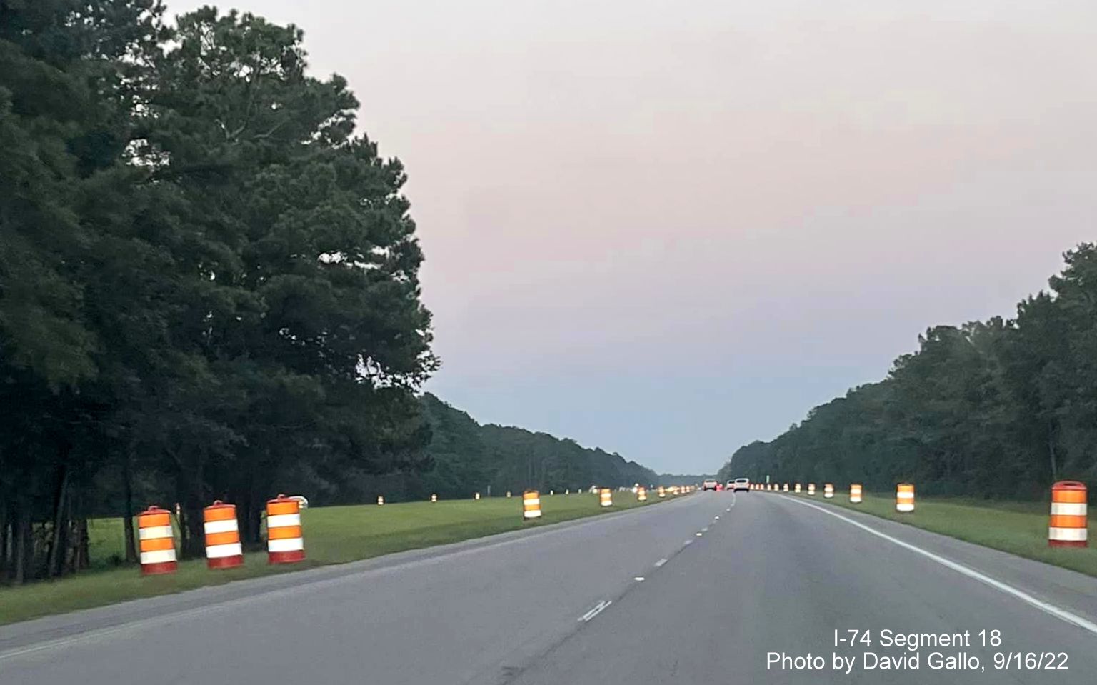
Construction barrels mark the start of the work zone along US 74.
The two intersections in the construction zone were recently
reconstructed as reduced conflict intersection temporarily prior to
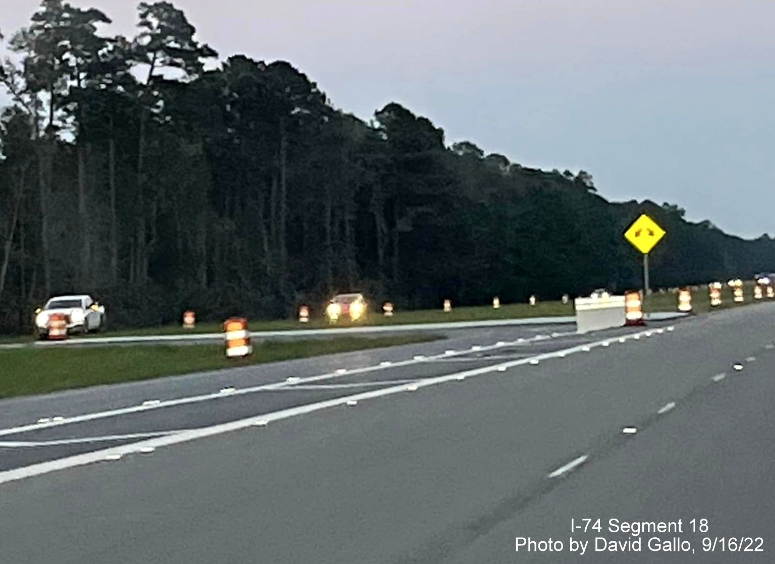
start of interchange construction.
A closer look at one of the temporary improved intersections.
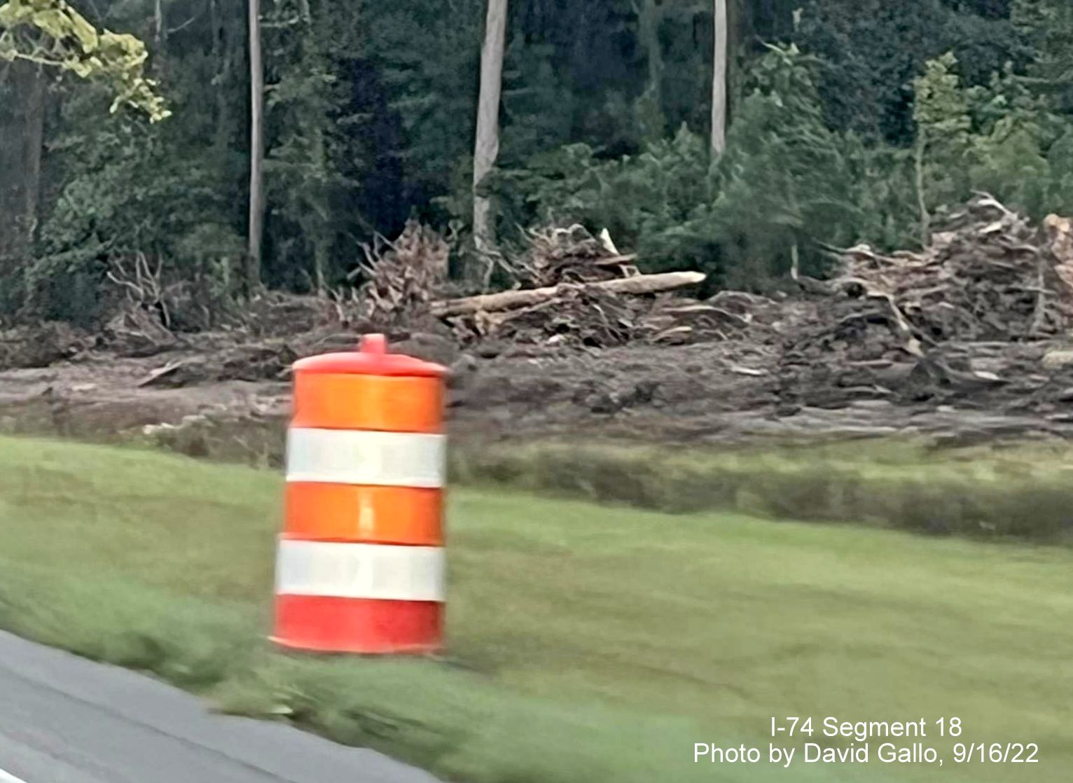
Trees cut down along US 74 in the work zone.
When all these projects are completed the Whiteville Bypass freeway
will be extended another ten miles to the NC 211 exit and will make the
entire US 74/76 section a freeway, though not an Interstate standard
one, to the site NCDOT
proposes that I-74 would then turn south toward South Carolina
(see I-74 Segment
19).
Photo of NC 211 exit, east of US 74/76 Whiteville Bypass, with I-74
exit number, courtesy of Chris Curley. Note the still narrow shoulders
though the road was rebuilt in the area of the exit.
Some Google Maps Street View images, taken in August 2019:
Future I-74
Corridor sign on US 74/76 West after the Bypass US 701 exit.
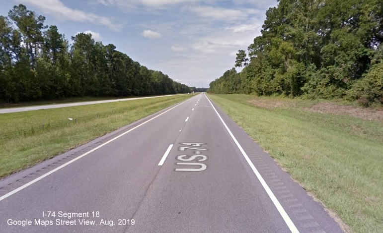
Typical layout
of Whiteville Bypass lanes, showing shoulders not to Interstate
Standards.
Here was a list of preliminary FY 2018-2027 STIP projects along I-74's
official route along US 74/76 to NC 211,7 only the last two
made it into the official STIP released in August 2017 and into the
latest 2024-2033 Draft STIP updated in June 2022:
Route
From
/ Cross Street:
To
/ Cross Street:
Project:
US
74 , US 76
US
74 Business east of Whiteville
West
of SR 1735 (Chauncey Town Road)
Upgrade
Roadway to interstate Standards
US
74 , US 76
West
of SR 1735 (Chauncey Town Road)
East
of SR 1740 (Old Lake Road)
Upgrade
Roadway to interstate Standards
US
74 , US 76
East
of SR 1740 (Old Lake Road)
West
of NC 211
Upgrade
Roadway to interstate Standards
US
74 , US 76
SR
1735 (Chauncey Town Road)
Upgrade
At-grade Intersection to Interchange
US
74 , US 76
SR
1740 (Old Lake Road)
Upgrade
At-grade Intersection to Grade Separation
BUDGET PROBLEMS, STARTING WITH COVID
In the fall of 2019, future funding on the
Chauncey Town Road and Old Lake Road projects was suspended, along
with I-74 related projects in Robeson County, due to NCDOT budget
problems brought on, according to NCDOT by the success of a lawsuit
against the agency for not paying for property along future highway
alignments which could cost them hundreds of millions of dollars and
fixing damages from many recent hurricanes. The legislature had
planned to work with NCDOT to fix some of the money problems and as of
early 2020 hoped to have funding for most projects restored by the
summer of 2020.8 However, this was before the COVID-19
pandemic shutdown on nonessential business and travel in the spring of
2020. With lower gas revenue projections, NCDOT put most future
projects on hold in May 2020, indicating the current budget would be
used to complete existing projects first. After the NCDOT legislature
did pass a bill assuring future funding, these projects were put back
in the funded category, and their start was accelerated. The Draft
2024-2033 STIP released in June 2022 kept the Chauncey Town Road and
Old Lake Road projects with their 2022 start dates, however it
contained no other I-74 related projects for this segment, including
one that would upgrade the route to interstate standards. This was
carried over in the Final STIP released on June 6, 2023. This means
any such project would not begin until after 2033.
 Segment 18